



- Region
- Gilgit-Baltistan, Pakistan
- Best season
- Spring, Summer
- Permits
- Confirm current permit requirements, fees …
Plan with verified data
Central Karakoram National Park trip tools
Tools for a trip here
Picked for how, when and where you're going. Free, no signup.
Photos of Central Karakoram National Park
How to get there
The park is located in Skardu district in Gilgit-Baltistan, Pakistan. Confirm transport and the precise approach for the chosen objective locally; district-level orientation does not identify a roadhead or trailhead.
- Skardu district
The district containing Central Karakoram National Park. Use it as geographical orientation, not as a specified park entrance or trekking start point.
- Gilgit-Baltistan
The wider region containing the park. Arrange onward access around the selected mountain objective; no specific regional entry point is established here.
Sources: Wikipedia · Wikivoyage. Confirm road and trailhead conditions with the managing agency before you leave.
Gilgit-Baltistan, Pakistan · Season: Best: July - August
- Climbing
- Mountaineering
- Winter Camping
- Skiing
- Surfing
- Hiking
- Canoeing
- Fishing
The country
The Karakoram is sharper, steeper, and significantly wilder than the Himalayas. The Baltoro Glacier is a 63km river of ice covered in rock debris, wedged between a sheer density of 7,000 and 8,000-meter peaks unmatched anywhere on Earth. The environment is harsh, with extreme solar radiation by day and bitter cold by night.
Why enthusiasts come
Concordia, the confluence of the Baltoro and Godwin-Austen glaciers, offers a view of K2, Broad Peak, and the Gasherbrums that is legendary among mountaineers. It is an expedition-style trek requiring porters, pack animals, and serious logistical support. To hike here is to touch the zenith of wild, high-altitude alpine exploration.
Top experiences
Standing at Concordia looking at the K2 pyramid is the definitive Karakoram moment, earned after a week of punishing glacier travel. Crossing the Gondogoro La (5,585m) at night requires ascending fixed ropes up a 50-degree snow slope to exit the valley. Visiting Broad Peak and K2 Base Camps reveals the sobering reality of the high-altitude climbing industry.
Planner-relevant notes
Independent trekking is absolutely forbidden. You must travel with a registered Pakistani tour company, obtain a trekking visa, and secure an NOC (No Objection Certificate). A military liaison officer often accompanies groups. Delays on the Skardu flight are notoriously common; buffer your itinerary by several days.
Field notes
- The glacier undulates heavily; you will constantly be hiking up and down massive gravel mounds made of glacial moraine.
- Water is typically sourced from glacial melt and is full of heavy silt; allow it to settle in a bucket before filtering or treating.
- Gondogoro La requires crampons, a harness, a jumar (ascender), and basic mountaineering proficiency.
- Bring substantial camp entertainment; military checkpoints and weather delays mean a lot of downtime in base camps.
Where on earth
Satellite imagery flying in from a world view to Central Karakoram National Park, Gilgit-Baltistan, Pakistan. Use the + / − buttons, or click the map to zoom with your scroll wheel; drag to pan and pinch to zoom on touch.
Coordinates
- Decimal degrees
- 35.7330, 76.5330
- Latitude (DMS)
- 35° 43′ 58.8″ N
- Longitude (DMS)
- 76° 31′ 58.8″ E
Coordinates are an access-point reference for Central Karakoram National Park, not a route. Carry a paper map and confirm trailhead or put-in access with the managing agency before you go.
Topic summary
Trek the chaotic surface of an immense glacier into the 'Throne Room of the Mountain Gods'.
Key takeaways
- Region: Gilgit-Baltistan, Pakistan
- Best season: Best: July - August
- Coordinates: 35.733, 76.533
Climate suitability
Best: July - August
Keep planning
Popular pursuits at Central Karakoram National Park
- Climbing
Rock and alpine lines with approach beta.
- Mountaineering
Glacier and high-route objectives with real consequence.
- Winter Camping
Cold-season travel and camp craft; layering matters more than mileage.
- Skiing
Ski-touring access when the road closes for the season.
- Surfing
Swell windows and access from camp.
- Hiking
Day miles on marked trail, with route notes and trail links below.
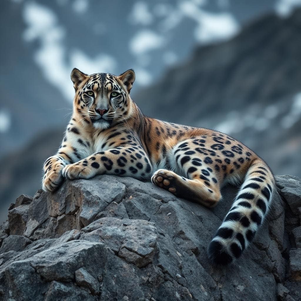
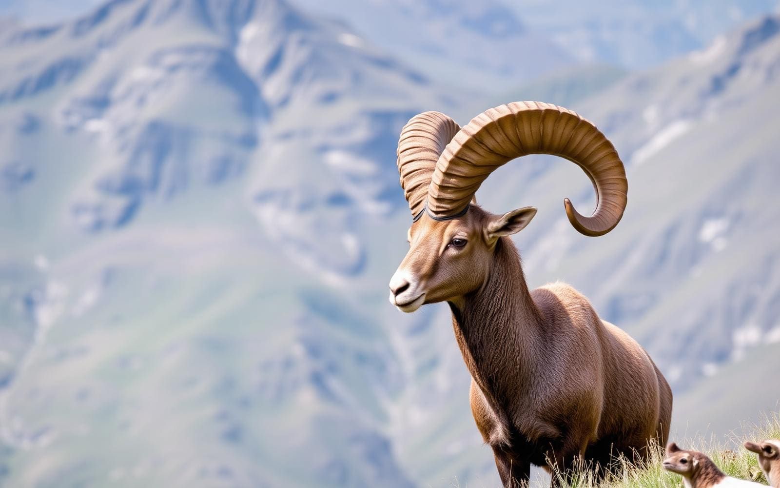
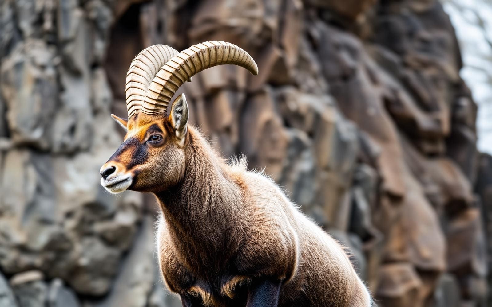
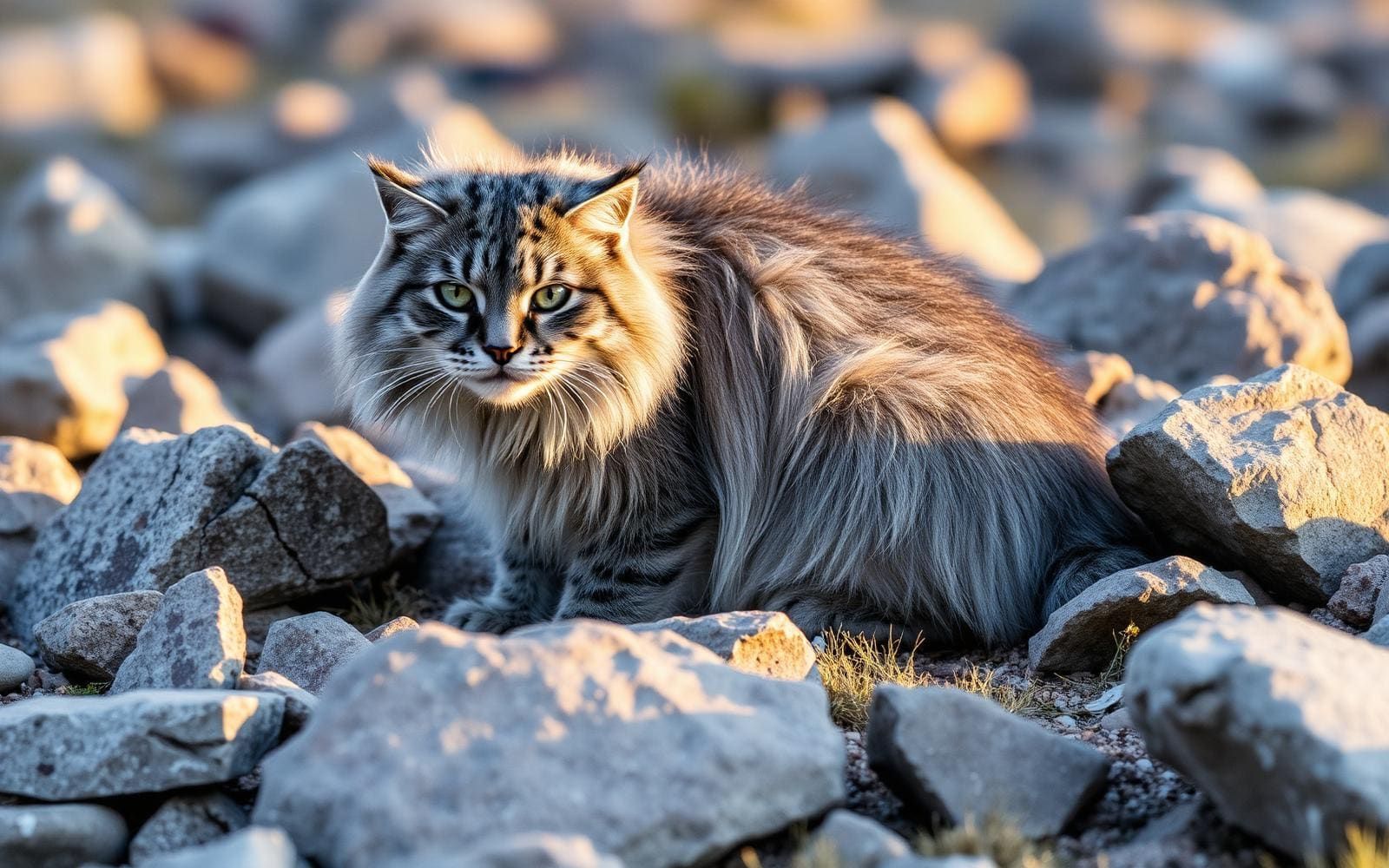
Animals around Central Karakoram National Park
A park of high peaks and major glaciers
Central Karakoram National Park lies in Skardu district, Gilgit-Baltistan, Pakistan. Covering about 10,000 square kilometres, it encompasses a dense concentration of exceptionally high mountains and large glaciers. Four peaks rise above 8,000 metres: K2 at 8,611 metres, Gasherbrum-I at 8,068 metres, Gasherbrum-II at 8,035 metres, and Broad Peak at 8,051 metres. Another sixty peaks exceed 7,000 metres. Those figures describe the setting, not the elevation of every trek, but they make altitude an essential part of trip planning. The park is known for trekking, mountaineering and rock climbing; these are distinct undertakings with different demands. Choose an objective according to experience and preparation rather than treating the park as a single, interchangeable mountain outing.
Concordia and the Baltoro mountain landscape
Concordia is the clearest named trekking objective here: the meeting point of the Baltoro Glacier and the Godwin-Austen Glacier. It gives a specific geographical focus to a visit otherwise defined by an enormous mountain landscape. The Baltoro Muztagh, a sub-range of the Karakoram, is another named trekking area, rather than a single specified trail. Keep that distinction in mind when discussing an itinerary: a destination name alone does not establish a start point, daily stages or technical requirements. Glacier terrain calls for more preparation than an ordinary walking route. Before committing, establish the actual line of travel, the skills and equipment it requires, and how the proposed objective fits the abilities of everyone in the party.
Planning for a high-mountain trip
The park sits within Gilgit-Baltistan, the northern region where the Karakoram, Pamir, Himalaya and Hindu Kush meet. Its high peaks and extensive ice make careful preparation more useful than a tightly packed itinerary. Allow time to adjust to altitude, carry clothing suitable for changing mountain weather, and plan food, drinking water and shelter around the chosen outing. Trekking experience should not be assumed to transfer directly to glacier travel, rock climbing or an attempt on an 8,000-metre peak. Match support and equipment to the activity, and obtain current local advice before departure. Confirm access requirements with the managing agency, and establish transport arrangements and the actual starting point separately from the broader destination of Skardu district.
Route options
- Concordia trek
A trekking objective at the confluence of the Baltoro Glacier and the Godwin-Austen Glacier. Confirm the approach, stages and glacier-travel requirements before selecting an itinerary.
- Baltoro Muztagh trekking
Trekking in a named sub-range of the Karakoram. This identifies a mountain area rather than a defined route; establish a specific objective and approach before making logistical plans.
Sample itineraries
- Concordia trek planning day · 1 day
Use a preparation day to assess a trek toward Concordia, where the Baltoro and Godwin-Austen glaciers meet. Confirm the approach, current conditions, support and acclimatization schedule locally. This is a planning outline, not a one-day trek; the mountain journey requires a separately established schedule.
- High-peak expedition planning day · 1 day
Devote a preparation day to evaluating mountaineering objectives such as K2, Broad Peak, Gasherbrum-I or Gasherbrum-II. Match the objective to experience, technical support and acclimatization needs. This is expedition preparation, not a summit itinerary; establish the actual duration with qualified local support.
Seasonal conditions
Spring
Confirm locally for the intended route and elevation
Do not assume lower-elevation conditions reflect conditions on the park’s high mountains and glaciers. Check weather, snow conditions and route suitability before committing to a spring departure.
Summer
Confirm locally for the intended route and elevation
Summer should not be treated as a guarantee of easy travel. The park’s extreme elevations still demand cold-weather equipment, acclimatization and a current assessment of glacier conditions.
Fall
Confirm locally for the intended route and elevation
Base departure decisions on current mountain conditions rather than the season alone. Confirm weather, route suitability and available support, and retain flexibility for a high-elevation journey.
Winter
Confirm locally for the intended route and elevation
Treat winter travel among these high peaks and large glaciers as specialist planning. Confirm whether the intended objective is suitable for the team, equipment and current conditions before arranging travel.
| Season | Window | Conditions |
|---|---|---|
| Spring | Confirm locally for the intended route and elevation | Do not assume lower-elevation conditions reflect conditions on the park’s high mountains and glaciers. Check weather, snow conditions and route suitability before committing to a spring departure. |
| Summer | Confirm locally for the intended route and elevation | Summer should not be treated as a guarantee of easy travel. The park’s extreme elevations still demand cold-weather equipment, acclimatization and a current assessment of glacier conditions. |
| Fall | Confirm locally for the intended route and elevation | Base departure decisions on current mountain conditions rather than the season alone. Confirm weather, route suitability and available support, and retain flexibility for a high-elevation journey. |
| Winter | Confirm locally for the intended route and elevation | Treat winter travel among these high peaks and large glaciers as specialist planning. Confirm whether the intended objective is suitable for the team, equipment and current conditions before arranging travel. |
Permits, fees & closures
Confirm current permit requirements, fees and reservation procedures with the park’s managing agency before arranging trekking or mountaineering.
Confirm current permits, fees, and closures with the managing agency before you go.
Hazards & regulations
- Extreme altitude: the park contains four peaks above 8,000 meters and sixty above 7,000 meters. Build acclimatization into any high-elevation plan.
- Glacier travel: large glaciers are a defining feature of the landscape. Do not treat a glacier approach as an ordinary walking route.
- Technical mountain terrain: trekking, rock climbing and mountaineering require different skills and equipment. Choose an objective that matches the team’s abilities.
- High-mountain exposure: prepare for cold and changing weather, with enough flexibility to turn back rather than press on.
What to pack for Central Karakoram National Park
- Insulating layers
- Windproof and waterproof outer layers
- Warm gloves and headwear
- Sun protection and sunglasses
- Footwear suited to the planned terrain
- Navigation tools
- First-aid kit
- Water treatment and carrying capacity
- Food appropriate to the confirmed trip duration
- Route-specific glacier equipment selected with qualified support
- Climbing equipment appropriate to the objective
- Cold-weather camp equipment matched to elevation
- Emergency communication equipment
Central Karakoram National Park FAQ
- Where is Central Karakoram National Park?
- The park lies in Skardu district, Gilgit-Baltistan, Pakistan. It covers about 10,000 square kilometers and encompasses exceptionally high mountains and large glaciers.
- Which major peaks are inside the park?
- Its four peaks above 8,000 meters are K2 at 8,611 meters, Gasherbrum-I at 8,068 meters, Gasherbrum-II at 8,035 meters and Broad Peak at 8,051 meters.
- What is Concordia?
- Concordia is the confluence of the Baltoro Glacier and Godwin-Austen Glacier. It is a trekking objective in the Karakoram; a realistic approach schedule needs route-specific planning.
- What activities define the destination?
- Trekking, mountaineering and rock climbing are the principal outdoor activities. An interest in the landscape alone is not enough preparation for technical glacier or mountain travel.
- Can a fixed trip length be recommended?
- Not without a confirmed objective, approach and acclimatization plan. The preparation-day outlines above are not complete mountain itineraries. Establish the full schedule and contingency time with qualified local support.
- Is the park a World Heritage Site?
- The park was placed on the World Heritage Site Tentative List in 2016. Tentative listing is distinct from inscription as a World Heritage Site.