



- Region
- Ancash, Peru
- Best season
- Spring, Summer
- Permits
- Confirm current permit and access requirem…
Plan with verified data
Cordillera Huayhuash trip tools
Tools for a trip here
Picked for how, when and where you're going. Free, no signup.
Photos of Cordillera Huayhuash
How to get there
Cordillera Huayhuash is in Ancash, Peru. Its center point is -10.2660, -76.9000. Use these links for live turn-by-turn directions from where you are, then confirm road, trailhead and access conditions with the managing agency before you leave.
Ancash, Peru · Season: Best: May - September
- Climbing
- Mountaineering
- Winter Camping
- Skiing
- Hiking
- Wildlife Viewing
- Hot Springs
The country
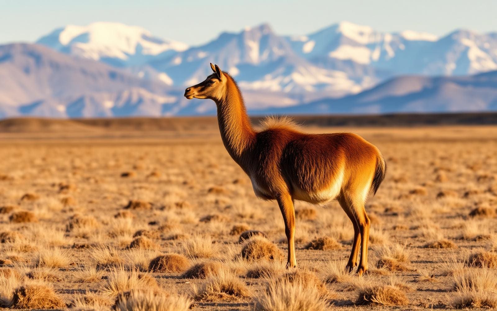
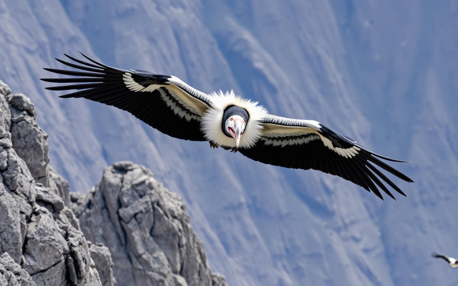
The Huayhuash is a highly concentrated 30km-long cluster of dramatic peaks, featuring massive glaciated faces and hanging seracs. The landscape consists of high puna grasslands, moraines, and vividly colored glacial lakes. Wildlife is sparse, though Andean condors and vicunas occasionally traverse the upper crags.
Why enthusiasts come
It is widely considered one of the most spectacular alpine trekking circuits in the world. The standard route crosses a high mountain pass almost every single day, keeping hikers perpetually above 4,200 meters. Climbers know the range for the epic survival story of Joe Simpson on Siula Grande ('Touching the Void').
Top experiences
The full Huayhuash Circuit takes 10-12 days, weaving through valleys and crossing 8-10 high passes. The Alpine Route is a variation crossing the San Antonio pass, offering harrowing scree descents and unmatched views of the Juraoc lakes. Soaking in the natural hot springs at Viconga camp provides deep relief midway through the trek.
Planner-relevant notes
There is no single park fee; instead, every local community charges a toll to pass through or camp on their land, so you must carry ample soles in small denominations. Serious acclimatization in Huaraz is mandatory before starting, as the route allows no easy escape to low altitude. Pack animals and local guides are commonly hired to handle the heavy loads.
Field notes
- Expect nighttime temperatures to plummet to -10°C (14°F) or lower; a warm 4-season sleeping bag is non-negotiable.
- Bring water purification tablets or a robust filter; livestock graze heavily in almost all the valleys.
- If choosing the Alpine Route variation at San Antonio or Santa Rosa, expect steep, unstable scree where sliding is a real hazard.
- The 'protection fees' paid to communities usually total around 250-300 Peruvian Soles over the entire circuit.
Where on earth
Satellite imagery flying in from a world view to Cordillera Huayhuash, Ancash, Peru. Use the + / − buttons, or click the map to zoom with your scroll wheel; drag to pan and pinch to zoom on touch.
Coordinates
- Decimal degrees
- -10.2660, -76.9000
- Latitude (DMS)
- 10° 15′ 57.6″ S
- Longitude (DMS)
- 76° 54′ 0.0″ W
Coordinates are an access-point reference for Cordillera Huayhuash, not a route. Carry a paper map and confirm trailhead or put-in access with the managing agency before you go.
Topic summary
A compact, high-altitude Andean circuit offering intimate views of vertical ice flutings and pristine turquoise lakes.
Key takeaways
- Region: Ancash, Peru
- Best season: Best: May - September
- Coordinates: -10.266, -76.900
Climate suitability
Best: May - September
Keep planning
Popular pursuits at Cordillera Huayhuash
- Climbing
Rock and alpine lines with approach beta.
- Mountaineering
Glacier and high-route objectives with real consequence.
- Hiking
Day miles on marked trail, with route notes and trail links below.
- Wildlife Viewing
Best light, best season, and where animals move.
- Hot Springs
Soakable water and the etiquette that keeps it open.
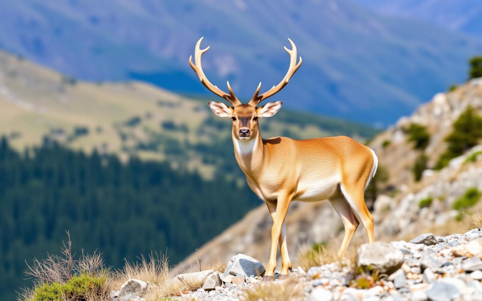
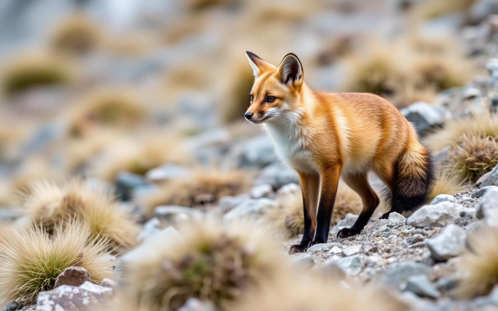
Animals around Cordillera Huayhuash

Destination details unavailable
There is not enough destination-specific information to write a reliable Cordillera Huayhuash profile. Access points, trekking routes, travel logistics and the managing agency remain unconfirmed. The Santa Cruz Trek is in the Cordillera Blanca, a different range, and its trailheads, distances and itinerary should not be used to plan a Huayhuash trip.
Sample itineraries
- Route verification and access planning · 1 day
Suggested planning day, not a trekking itinerary: confirm a Cordillera Huayhuash route, its access points and transport arrangements with a local operator. Do not substitute the Santa Cruz Trek, which is in the Cordillera Blanca.
- Conditions and equipment review · 1 day
Suggested planning day, not a trekking itinerary: obtain current route conditions, assess acclimatization needs and confirm equipment with a local operator. A reliable Huayhuash walking schedule cannot be specified here.
Seasonal conditions
Spring
Not established
Destination-specific spring conditions are not established here. Confirm weather, route accessibility and overnight conditions before selecting travel dates.
Summer
Not established
Destination-specific summer conditions are not established here. Do not assume summer offers the best trekking weather.
Fall
Not established
Destination-specific fall conditions are not established here. Confirm current conditions for the intended route before departure.
Winter
Not established
Destination-specific winter conditions are not established here. Confirm temperature, precipitation and equipment requirements locally.
| Season | Window | Conditions |
|---|---|---|
| Spring | Not established | Destination-specific spring conditions are not established here. Confirm weather, route accessibility and overnight conditions before selecting travel dates. |
| Summer | Not established | Destination-specific summer conditions are not established here. Do not assume summer offers the best trekking weather. |
| Fall | Not established | Destination-specific fall conditions are not established here. Confirm current conditions for the intended route before departure. |
| Winter | Not established | Destination-specific winter conditions are not established here. Confirm temperature, precipitation and equipment requirements locally. |
Permits, fees & closures
Confirm current permit and access requirements with the managing agency.
Confirm current permits, fees, and closures with the managing agency before you go.
Hazards & regulations
- Route confusion: the Santa Cruz Trek belongs to the Cordillera Blanca, not the Cordillera Huayhuash. Its trailheads and pass details should not guide this trip.
- Unverified terrain: obtain a destination-specific assessment of route difficulty and hazards before committing to a walking schedule.
- Unverified conditions: confirm weather, access and emergency arrangements rather than treating this profile as a field-ready trip plan.
What to pack for Cordillera Huayhuash
- Verified Cordillera Huayhuash route information
- Confirmed access and transport details
- Local operator and emergency contact information
- Route-appropriate footwear
- Clothing matched to confirmed weather conditions
- Sleeping equipment matched to confirmed overnight arrangements
Cordillera Huayhuash FAQ
- Is the Santa Cruz Trek a Cordillera Huayhuash route?
- No. The Santa Cruz Trek is in the Cordillera Blanca and crosses part of Huascarán National Park between Vaquería and Cashapampa.
- How many days should a Huayhuash trek take?
- A reliable duration is not established here. The planning days above are preparation suggestions, not estimates of trekking time.
- Which trailhead should be used?
- No Cordillera Huayhuash trailhead is established here. Confirm the access point for the specific route before arranging transport.
- When is the best season to visit?
- A destination-specific trekking season cannot be established here. Confirm seasonal weather and current route conditions locally before booking.
- Are permits or reservations required?
- Confirm requirements with the managing agency before departure. No fee or reservation details are established here.