



- Region
- Peru
- Best season
- Spring, Summer
- Permits
- Confirm current permits, access requiremen…
Plan with verified data
Cordillera Huayhuash trip tools
Tools for a trip here
Picked for how, when and where you're going. Free, no signup.
Photos of Cordillera Huayhuash
How to get there
Cordillera Huayhuash is in Peru. Its center point is -10.2800, -76.9000. Use these links for live turn-by-turn directions from where you are, then confirm road, trailhead and access conditions with the managing agency before you leave.
Peru · Season: Best: May – Sep (dry season)
- Mountaineering
- Hiking
The country
A tightly clustered range south of Huaraz — Yerupajá is Peru's second-highest peak. The circuit walks around the entire massif, crossing eight passes and touching lakes below every face.
Why enthusiasts come
One of the most beautiful trekking circuits on Earth. Manageable on foot in 10 days with donkey support; harder but possible fully self-supported.
Planner-relevant notes
Acclimatize in Huaraz (3,050 m) for at least 3 days before starting. Community entry fees are charged in each valley — carry small Peruvian soles.
Field notes
- Water sources are cold and clear — filter or treat, especially below livestock.
- Weather windows collapse fast in the afternoon — start passes early.
- Local arrieros with donkeys are the standard support model.
Where on earth
Satellite imagery flying in from a world view to Cordillera Huayhuash, Peru. Use the + / − buttons, or click the map to zoom with your scroll wheel; drag to pan and pinch to zoom on touch.
Coordinates
- Decimal degrees
- -10.2800, -76.9000
- Latitude (DMS)
- 10° 16′ 48.0″ S
- Longitude (DMS)
- 76° 54′ 0.0″ W
Coordinates are an access-point reference for Cordillera Huayhuash, not a route. Carry a paper map and confirm trailhead or put-in access with the managing agency before you go.
Topic summary
A compact ring of 6,000-m peaks — the most stunning circuit trek in the Andes.
Key takeaways
- Region: Peru
- Best season: Best: May – Sep (dry season)
- Coordinates: -10.280, -76.900
Climate suitability
Best: May – Sep (dry season)
Keep planning
Popular pursuits at Cordillera Huayhuash
- Mountaineering
Glacier and high-route objectives with real consequence.
- Hiking
Day miles on marked trail, with route notes and trail links below.
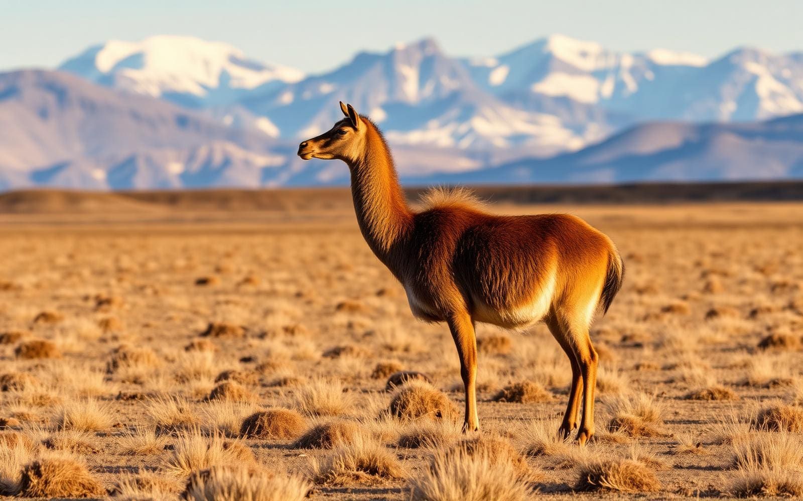
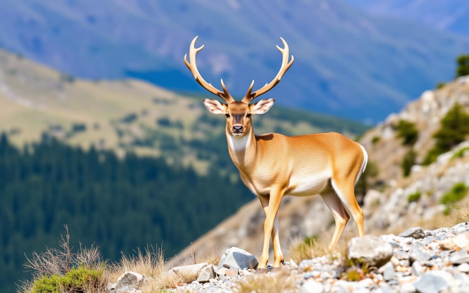
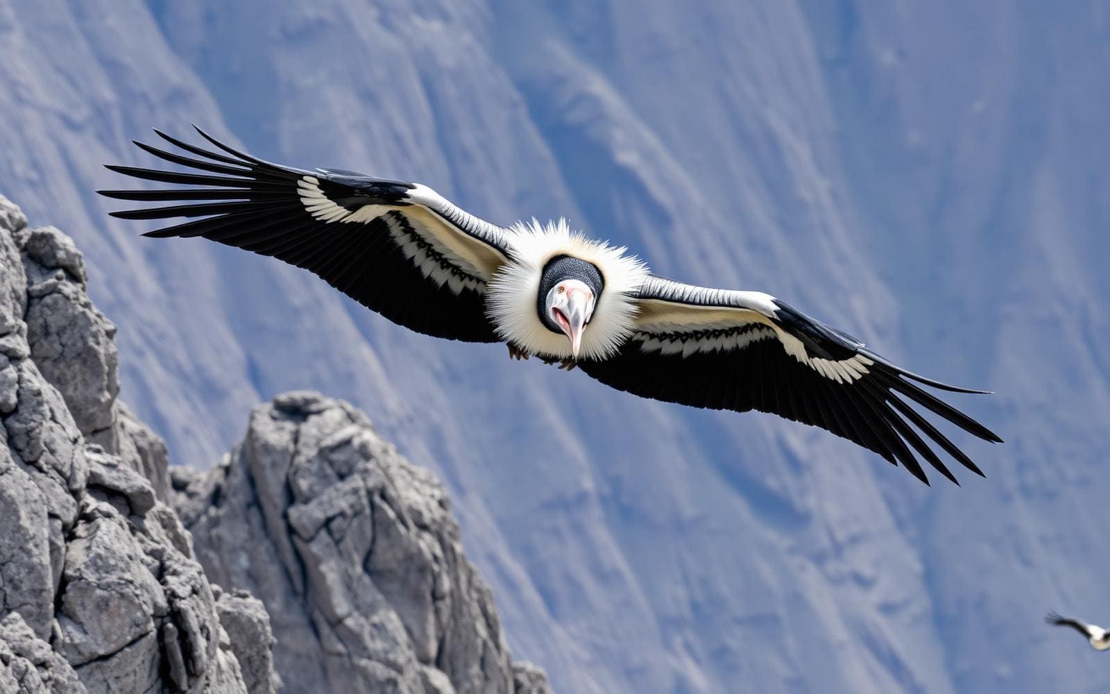
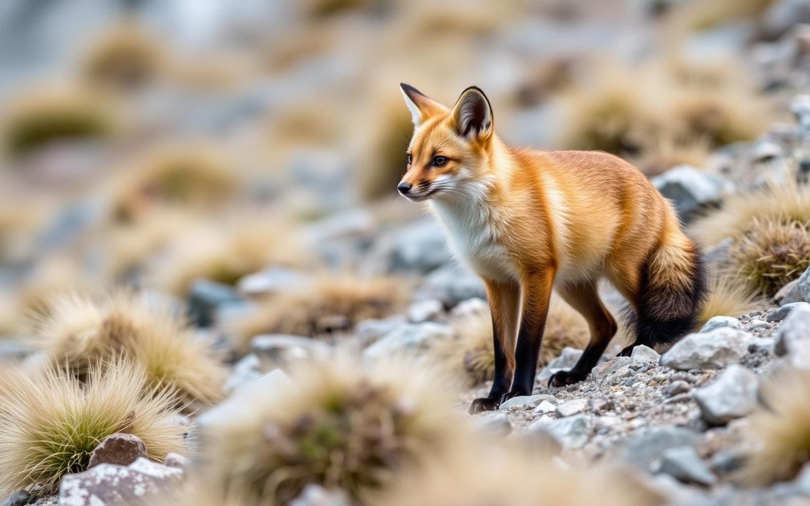
Animals around Cordillera Huayhuash

Where Huayhuash fits in the Andes
The Cordillera Huayhuash is a subrange of Peru’s Cordillera Occidental, the western branch of the Andes. That geographic distinction is the starting point for planning: Huayhuash is part of a much larger mountain system, not a name for the whole of Peru’s western Andes. Other subranges within the Cordillera Occidental include the Cordillera Blanca and Cordillera Negra. To the east lie Peru’s Cordillera Central and Cordillera Oriental. Across the broader western cordillera, the mountains meet coastal plains or fall toward the Pacific along cliffed coasts; those are regional characteristics, not descriptions of a Huayhuash trailhead. Keep the subrange name attached to transport and itinerary searches so that information for a different Andean destination does not shape the trip.
Do not confuse Huayhuash with the Santa Cruz Trek
The Santa Cruz Trek belongs to the Cordillera Blanca, not the Cordillera Huayhuash. It crosses part of Huascarán National Park between Vaquería and Cashapampa, with transport commonly arranged through Huaraz, Yungay and Caraz. Those places describe access to Santa Cruz; they should not automatically be treated as Huayhuash access points. The same distinction applies to Punta Unión pass and the peaks Taulliraju, Alpamayo, Artesonraju and Huascarán, which feature in the Santa Cruz itinerary. If comparing the two destinations, keep their route descriptions separate. Santa Cruz’s stated distance, elevation and three- to four-day schedule do not establish the length, altitude or time commitment of a Huayhuash trip. A useful comparison requires a specific Huayhuash itinerary rather than assumptions carried over from its neighboring subrange.
Build a destination-specific plan
For a Huayhuash trip, begin with a clearly identified route and its actual access arrangements rather than a general Peru trekking package. Ask the organizer or relevant managing authority to identify the starting point, finishing point, transport connections and overnight plan before committing. Confirm current access requirements directly with the responsible authority, and make sure any quoted arrangements explicitly apply to Cordillera Huayhuash. Mountain travel also calls for a realistic assessment of fitness, weather exposure, equipment and the time available; settle those questions against the chosen itinerary rather than another trek’s schedule. The practical goal is a plan whose geography, logistics and walking demands all refer to the same destination. Regional proximity alone is not enough to make trailheads or trekking arrangements interchangeable.
Sample itineraries
- Four-day Santa Cruz alternative—not in Huayhuash · 4 days
For a separate Cordillera Blanca trip, walk the Santa Cruz Trek between Vaquería and Cashapampa over four days and three nights. This camping route crosses Punta Unión pass. Arrange access and return transport through Huaraz, Yungay and Caraz. It is not a Cordillera Huayhuash itinerary.
- Three-day Santa Cruz alternative—not in Huayhuash · 3 days
Fit, acclimatized hikers sometimes complete the Santa Cruz Trek in three days. The approximately 50 km route crosses 4,750 m Punta Unión pass in the Cordillera Blanca. Consider this a separate destination option, not a shortened Huayhuash route.
Seasonal conditions
Spring
Confirm local seasonal timing
Check Huayhuash-specific weather and route conditions before choosing dates. Do not assume conditions described for the Cordillera Blanca apply to this separate range.
Summer
Confirm local seasonal timing
Confirm precipitation patterns, mountain temperatures and access conditions locally. A reliable Huayhuash trekking window cannot be specified here.
Fall
Confirm local seasonal timing
Check current mountain forecasts and overnight conditions before committing to a camping plan. Seasonal suitability needs confirmation for the chosen Huayhuash route.
Winter
Confirm local seasonal timing
Verify expected temperatures and route conditions locally. Do not select equipment or departure dates based on the season name alone.
| Season | Window | Conditions |
|---|---|---|
| Spring | Confirm local seasonal timing | Check Huayhuash-specific weather and route conditions before choosing dates. Do not assume conditions described for the Cordillera Blanca apply to this separate range. |
| Summer | Confirm local seasonal timing | Confirm precipitation patterns, mountain temperatures and access conditions locally. A reliable Huayhuash trekking window cannot be specified here. |
| Fall | Confirm local seasonal timing | Check current mountain forecasts and overnight conditions before committing to a camping plan. Seasonal suitability needs confirmation for the chosen Huayhuash route. |
| Winter | Confirm local seasonal timing | Verify expected temperatures and route conditions locally. Do not select equipment or departure dates based on the season name alone. |
Permits, fees & closures
Confirm current permits, access requirements and payment arrangements with the managing agency for the chosen Cordillera Huayhuash route.
Confirm current permits, fees, and closures with the managing agency before you go.
Hazards & regulations
- Altitude requires advance planning for an Andean mountain trip. Confirm the elevations of the chosen Huayhuash route and allow for acclimatization.
- Mountain weather and overnight cold require suitable clothing and shelter; check route-specific forecasts before departure.
- Confusing neighboring ranges can derail logistics: Vaquería, Cashapampa and Punta Unión belong to the Santa Cruz itinerary in the Cordillera Blanca, not a documented Huayhuash route.
What to pack for Cordillera Huayhuash
- Insulating layers matched to the forecast
- Weatherproof outer layers
- Walking footwear suited to the confirmed route
- Shelter suitable for expected mountain weather
- Sleeping bag matched to expected overnight temperatures
- Sleeping mat
- Huayhuash-specific route information
- Confirmed access and return transport details
- Current local weather information
Cordillera Huayhuash FAQ
- Where is the Cordillera Huayhuash?
- It is a subrange of Peru's Cordillera Occidental, the western branch of the Andes. The Cordillera Blanca and Cordillera Negra are also subranges of the Cordillera Occidental.
- Is the Santa Cruz Trek in the Cordillera Huayhuash?
- No. It is in the Cordillera Blanca and crosses part of Huascarán National Park. Its route details should not be used to plan a Huayhuash trek.
- How many days should a Huayhuash trek take?
- A reliable duration cannot be specified here. Choose a Huayhuash-specific route and confirm its stages, elevations and access before setting a schedule. The three- and four-day options above describe Santa Cruz only.
- Can the Santa Cruz alternative be walked independently?
- Yes. Santa Cruz can be walked independently or with a guide, cook and pack animals arranged through agencies in Huaraz. That does not establish guiding or support arrangements for Huayhuash.
- What needs confirming before booking a Huayhuash trip?
- Confirm the actual route, access points, transport, expected elevations, camping arrangements, seasonal conditions and managing-agency requirements. Do not substitute Cordillera Blanca logistics for Huayhuash planning.