



- Region
- Santa Cruz, Argentina
- Best season
- Spring, Summer
- Permits
- Confirm current entry requirements, permit…
Plan with verified data
Los Glaciares National Park trip tools
Tools for a trip here
Picked for how, when and where you're going. Free, no signup.
Photos of Los Glaciares National Park
How to get there
Los Glaciares National Park is in Santa Cruz, Argentina. Its center point is -49.2730, -73.0480. Use these links for live turn-by-turn directions from where you are, then confirm road, trailhead and access conditions with the managing agency before you leave.
Santa Cruz, Argentina · Season: Best: November - March
- Climbing
- Mountaineering
- Hiking
- Backpacking
- Canoeing
- Fishing
The country
The park is heavily glaciated, dominated by the Fitz Roy and Cerro Torre massifs on the margin of the icecap. Valleys are fringed by southern beech (lenga) forests that blaze red in the autumn. The environment is dictated by ferocious westerly winds off the Pacific that hit the Andes and unleash volatile weather.
Why enthusiasts come
It is a mecca for big-wall climbers and dedicated trekkers. Unlike other Patagonian hotspots, El Chalten offers world-class day hiking directly from town with no park entrance fees or mandatory guides. Backpackers tackle the multiday loops, while climbers endure weeks in basecamp waiting for a rare 'weather window' to ascend the towers.
Top experiences
The Huemul Circuit is a rugged 4-day backpacking route requiring a Tyrolean traverse over a glacial river and hiking alongside the immense Viedma Glacier. Hiking to Laguna de los Tres provides the classic front-row view of Mount Fitz Roy. Standing on the moraine at Laguna Torre at dawn offers a glimpse of the icy mushroom topping Cerro Torre.
Planner-relevant notes
No permits are required for basic trekking, but climbers and those doing the Huemul Circuit must register with the park office in El Chalten and show their harnesses/pulleys. Weather forecasts here dictate everything; be prepared to stay multiple days to get a clear view of the peaks. Bring bombproof four-season tents if camping.
Field notes
- The winds here can quite literally knock you off your feet; pitch tents behind constructed stone walls in the camps.
- To properly use the zipline (Tyrolean traverse) on the Huemul Circuit, you need a harness, steel carabiners, and a backup safety line.
- Drinking water in the backcountry streams is safe in most high areas, but filter below populated camps.
- El Chalten has unreliable internet and ATMs regularly run out of cash. Bring sufficient Argentine pesos or USD.
Where on earth
Satellite imagery flying in from a world view to Los Glaciares National Park, Santa Cruz, Argentina. Use the + / − buttons, or click the map to zoom with your scroll wheel; drag to pan and pinch to zoom on touch.
Coordinates
- Decimal degrees
- -49.2730, -73.0480
- Latitude (DMS)
- 49° 16′ 22.8″ S
- Longitude (DMS)
- 73° 2′ 52.8″ W
Coordinates are an access-point reference for Los Glaciares National Park, not a route. Carry a paper map and confirm trailhead or put-in access with the managing agency before you go.
Topic summary
Sheer granite spires pierce the infamous Patagonian wind above the sprawling Southern Patagonian Ice Field.
Key takeaways
- Region: Santa Cruz, Argentina
- Best season: Best: November - March
- Coordinates: -49.273, -73.048
Climate suitability
Best: November - March
Keep planning
Popular pursuits at Los Glaciares National Park
- Climbing
Rock and alpine lines with approach beta.
- Mountaineering
Glacier and high-route objectives with real consequence.
- Hiking
Day miles on marked trail, with route notes and trail links below.
- Backpacking
Multi-day travel with everything on your back — see the packing blocks below.
- Canoeing
Paddle routes, portages, and put-ins.
- Fishing
Resident gamefish, seasons, and the water that holds them.
Animals around Los Glaciares National Park

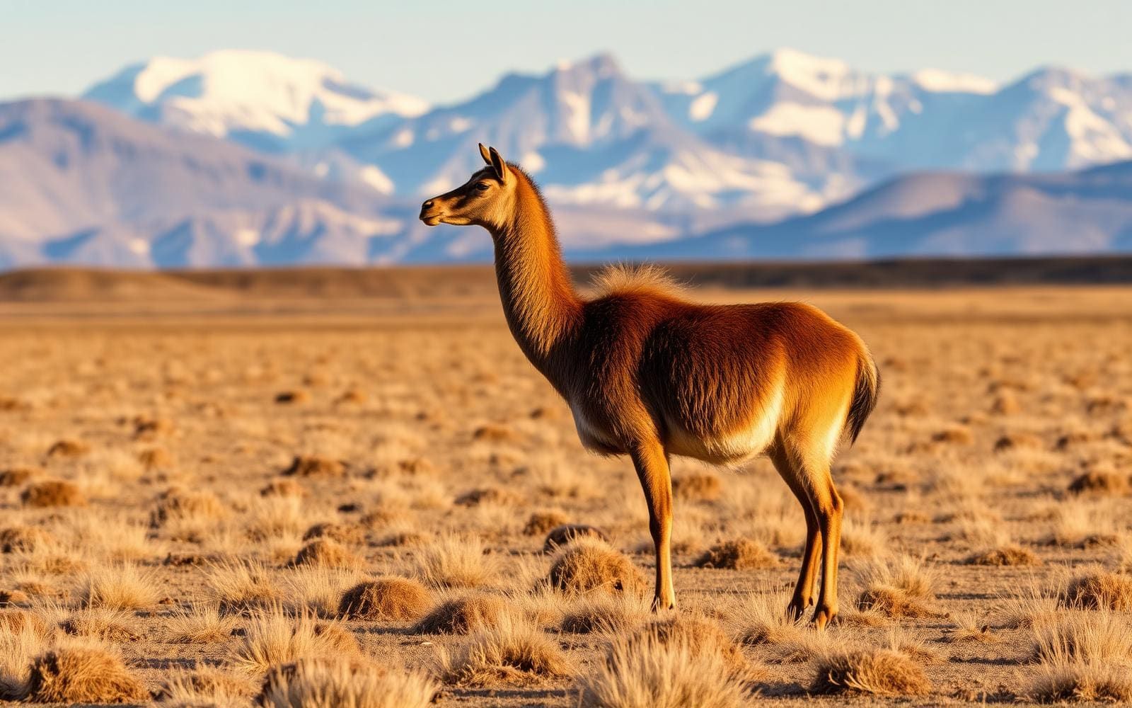
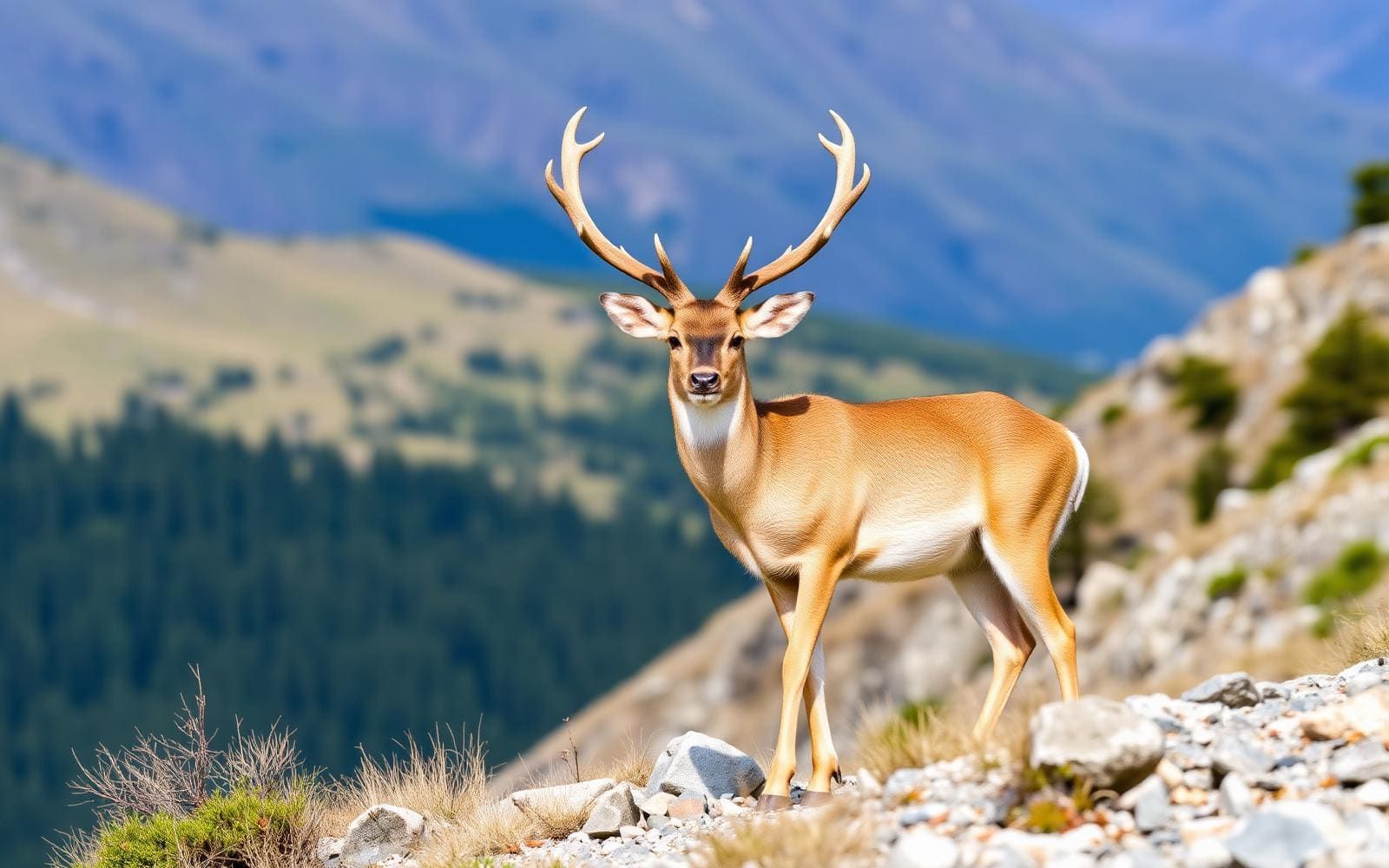
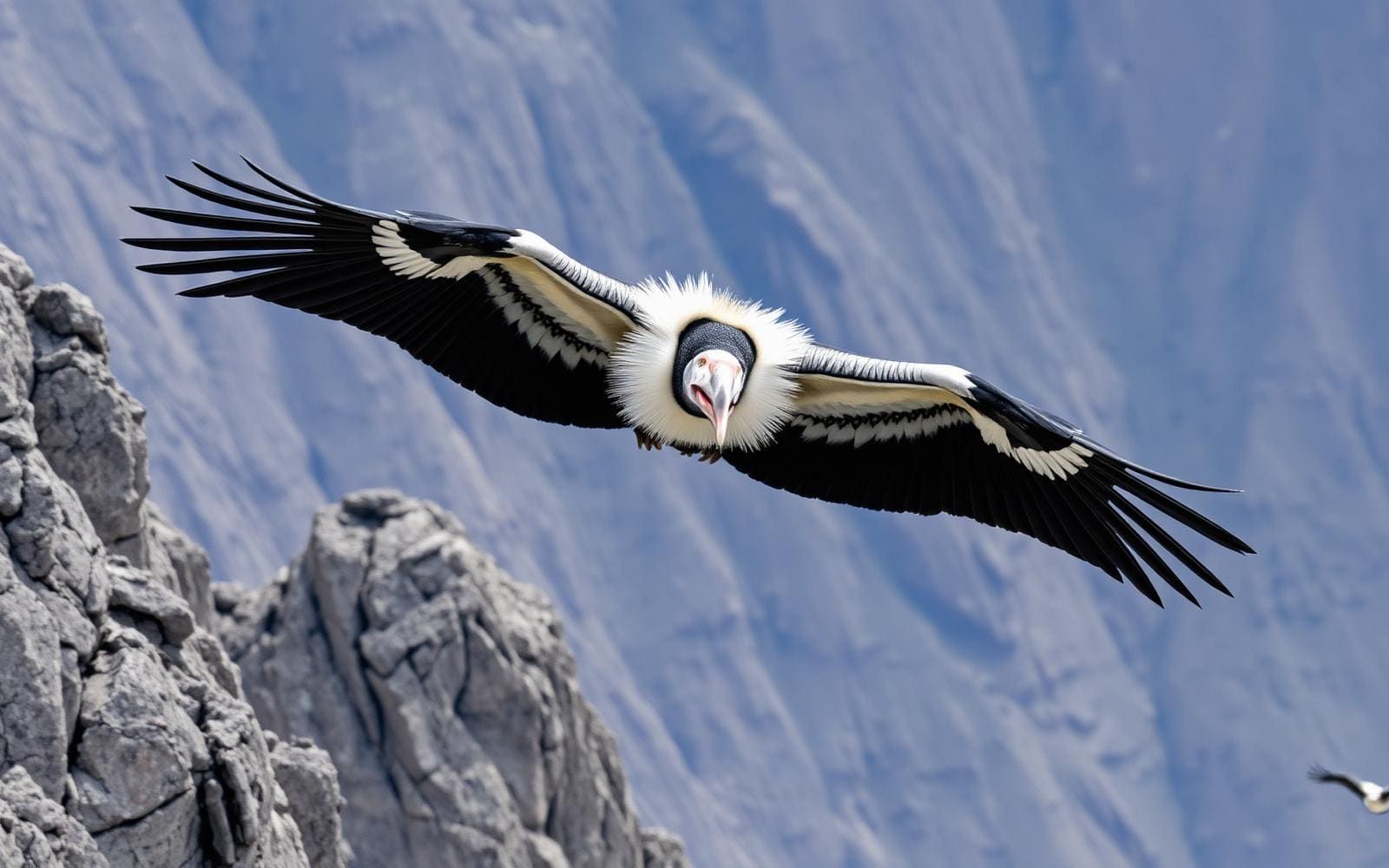
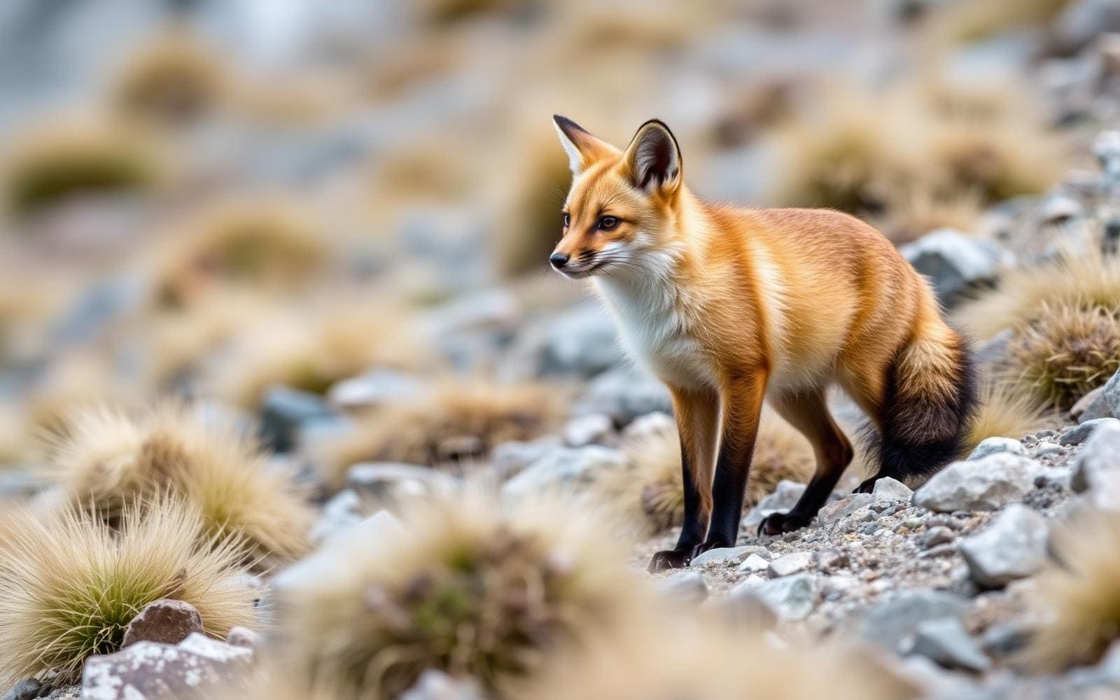
An ice-shaped landscape in Santa Cruz
Los Glaciares National Park protects a large stretch of Argentine Patagonia in Santa Cruz Province, where Andean ice, mountains, lakes, forest and steppe meet. Its name reflects the giant ice cap that feeds the area's many glaciers. Ice is not confined to distant summits here: glaciers descend to elevations as low as about 200 metres above sea level. That low reach is one of the landscape's defining features, bringing large glaciers into the lower mountain country. The park is a federal protected area and a UNESCO World Heritage Site. For trip planning, think of it as a broad mountain-and-glacier destination rather than a single viewpoint. A visit focused on ice will show only part of a protected landscape that also includes substantial ecological contrasts.
Forest, steppe and the Andean setting
Beyond its glaciers, Los Glaciares preserves representative areas of Magellanic subpolar forest and west Patagonian steppe. These habitats are an important part of the park's conservation value, not simply scenery around the ice. Mountains and lakes add further variety, making the wider landscape worth considering when deciding what kind of visit to plan. The park borders Torres del Paine National Park in Chile to the south, placing it within a larger Patagonian mountain setting; that shared boundary should not be treated as evidence of a visitor crossing or connecting route. Keep wildlife observation low-impact, give animals space and avoid damaging vegetation. Forest and open steppe call for the same care as the glacier landscape, even where the terrain appears less dramatic.
Planning around mountain and glacier terrain
Plan for a mountain environment with extensive ice rather than assuming a general sightseeing visit and a glacier outing need the same preparation. Bring insulating layers, weather protection and footwear appropriate to the activity actually chosen. Carry water and food, and leave room to change plans if conditions do not suit the outing. Viewing a glacier and travelling on it are different activities; do not treat the presence of low-elevation ice as evidence that it is suitable for independent access. Before committing to an itinerary, confirm access arrangements, route conditions and any permit requirements with the managing agency. Establish the actual starting point and transport arrangements for each outing before departure, rather than relying on the park's name alone as a navigable destination.
Sample itineraries
- Los Glaciares landscape introduction · 1 day
Plan a day around the park’s glacier, lake and mountain scenery. Ask park staff which visitor areas suit current conditions and your mobility. Keep the outing on confirmed visitor routes rather than attempting independent travel onto ice.
- Ice, forest and steppe · 3 days
Use one day for glacier scenery, another for accessible Magellanic subpolar forest, and a third for Patagonian steppe landscapes. Confirm suitable locations and connections with park staff before committing; this is a landscape-focused plan, not a verified route.
Seasonal conditions
Spring
Local spring
Plan conservatively in this glacier-and-mountain environment. Confirm current access and ground conditions before choosing outings; a spring visit should not be treated as assurance of snow-free terrain.
Summer
Local summer
The extensive ice cap remains central to the landscape. Carry insulation and weather protection even for summer sightseeing, and check local conditions rather than assuming warm conditions near glaciers.
Fall
Local fall
Keep mountain and glacier plans flexible. Check forecasts and current access before departure, and choose outings that leave room to turn back if conditions deteriorate.
Winter
Local winter
Treat cold protection and conservative terrain choices as priorities. Confirm which visitor areas are accessible and suitable for your experience before planning glacier or mountain outings.
| Season | Window | Conditions |
|---|---|---|
| Spring | Local spring | Plan conservatively in this glacier-and-mountain environment. Confirm current access and ground conditions before choosing outings; a spring visit should not be treated as assurance of snow-free terrain. |
| Summer | Local summer | The extensive ice cap remains central to the landscape. Carry insulation and weather protection even for summer sightseeing, and check local conditions rather than assuming warm conditions near glaciers. |
| Fall | Local fall | Keep mountain and glacier plans flexible. Check forecasts and current access before departure, and choose outings that leave room to turn back if conditions deteriorate. |
| Winter | Local winter | Treat cold protection and conservative terrain choices as priorities. Confirm which visitor areas are accessible and suitable for your experience before planning glacier or mountain outings. |
Permits, fees & closures
Confirm current entry requirements, permits and charges with the agency managing Los Glaciares National Park.
Official source: Fees & Passes - Glacier National Park (U.S. National Park Service) · Verified October 2, 2026
Hazards & regulations
- Cold exposure near glaciers and in mountain terrain: carry insulating layers and weather protection.
- Glacier ice is not ordinary walking terrain. Do not attempt independent ice travel without appropriate expertise and locally confirmed arrangements.
- Mountain terrain can exceed a casual sightseeing party’s abilities. Match outings to experience and confirm suitable routes with park staff.
What to pack for Los Glaciares National Park
- Insulating layers
- Weatherproof outer layer
- Warm hat and gloves
- Supportive walking footwear
- Daypack
- Drinking water and food
- Basic first-aid kit
- Current park visitor information
- Navigation appropriate to the confirmed outing
- Charged phone
Los Glaciares National Park FAQ
- Where is Los Glaciares National Park?
- It is in Santa Cruz Province, Argentina, in Argentine Patagonia. Its protected landscapes include Andean ice, mountains, lakes, Magellanic subpolar forest and west Patagonian steppe.
- What gives the park its name?
- The name refers to the enormous Andean ice cap feeding its glaciers. Ice shapes much of the park’s scenery, with glaciers descending to unusually low elevations.
- Is the park a World Heritage Site?
- Yes. Los Glaciares was designated a UNESCO World Heritage Site in 1981.
- Is there more to see than glaciers?
- Yes. Mountains and lakes share the park with Magellanic subpolar forest and Patagonian steppe. Planning around these different landscapes gives a broader view of the protected area than focusing only on ice.
- Can a sightseeing visit include walking on glacier ice?
- Do not assume glacier viewing includes safe access onto the ice. Confirm suitable activities and arrangements locally; ordinary walking equipment and experience are not a substitute for glacier-travel expertise.