



- Region
- Argentina
- Best season
- Spring, Summer
- Permits
- Confirm access requirements and any permit…
Plan with verified data
Rio Grande, Tierra del Fuego trip tools
Tools for a trip here
Picked for how, when and where you're going. Free, no signup.
Photos of Rio Grande, Tierra del Fuego
How to get there
Río Grande is on the Argentine portion of Isla Grande de Tierra del Fuego, which is separated from mainland South America by the Strait of Magellan. Confirm transport arrangements to Río Grande separately from onward access to any outdoor destination.
- Río Grande
The destination town and one of Isla Grande de Tierra del Fuego’s two biggest towns. Use it as the geographic focus for planning; no specific trailhead or public outdoor entry point is identified here.
- Ushuaia
The island’s other major Argentine town, relevant as a separate location when considering a broader Tierra del Fuego trip. It is not an established access point for a Río Grande outing.
Sources: Wikipedia · Wikivoyage. Confirm road and trailhead conditions with the managing agency before you leave.
Argentina · Season: Best: Jan – mid Apr (SH summer)
- Fishing
- Canoeing
The country
The Rio Grande flows east across the northern half of Tierra del Fuego through open steppe to the South Atlantic. Brown trout were introduced in 1935 and now return from salt in enormous numbers; average fish are the size of trophy Atlantic salmon anywhere else.
Why enthusiasts come
This is the definitive sea-run brown trout fishery on Earth. Weeklong lodge programs at Kau Tapen, Villa Maria, and Estancia Maria Behety average double-digit fish per day per rod, with regular fish over 20 lb and a real shot at a 30-pounder.
Top experiences
Swinging a heavy sink-tip through the Kau Tapen pools at dusk, casting to fresh fish coming out of the estuary, the constant wind that makes 60-ft distance casts a survival skill, and lamb asado at the lodge on the off-shift.
Planner-relevant notes
This is a lodge-only fishery — access is controlled and expensive ($8k–15k USD/week). Wind is the crux; 40–60 mph gusts are normal. Bring the heaviest single-hand or short Spey/switch rod you own. Weeks book 1–2 years ahead.
Field notes
- 8-wt single-hand or 11'6" switch rod is standard; 9-wt Spey for cold-water weeks.
- Sink-tips of 200–350 grains do most of the work.
- Wind blows almost every daylight hour — practice casting into it before you go.
- Argentina requires a national fishing license in addition to the provincial one.
Where on earth
Satellite imagery flying in from a world view to Rio Grande, Tierra del Fuego, Argentina. Use the + / − buttons, or click the map to zoom with your scroll wheel; drag to pan and pinch to zoom on touch.
Coordinates
- Decimal degrees
- -53.6000, -68.0500
- Latitude (DMS)
- 53° 36′ 0.0″ S
- Longitude (DMS)
- 68° 2′ 60.0″ W
Coordinates are an access-point reference for Rio Grande, Tierra del Fuego, not a route. Carry a paper map and confirm trailhead or put-in access with the managing agency before you go.
Topic summary
The world capital of sea-run brown trout — a wind-blown river across Patagonian steppe, average fish over 12 lb.
Key takeaways
- Region: Argentina
- Best season: Best: Jan – mid Apr (SH summer)
- Coordinates: -53.600, -68.050
Climate suitability
Best: Jan – mid Apr (SH summer)
Keep planning
Popular pursuits at Rio Grande, Tierra del Fuego
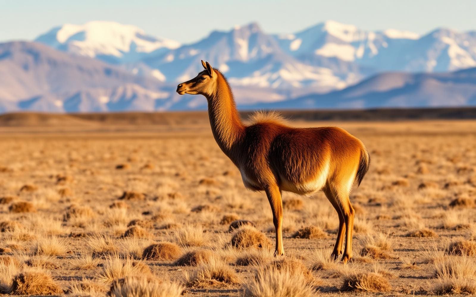
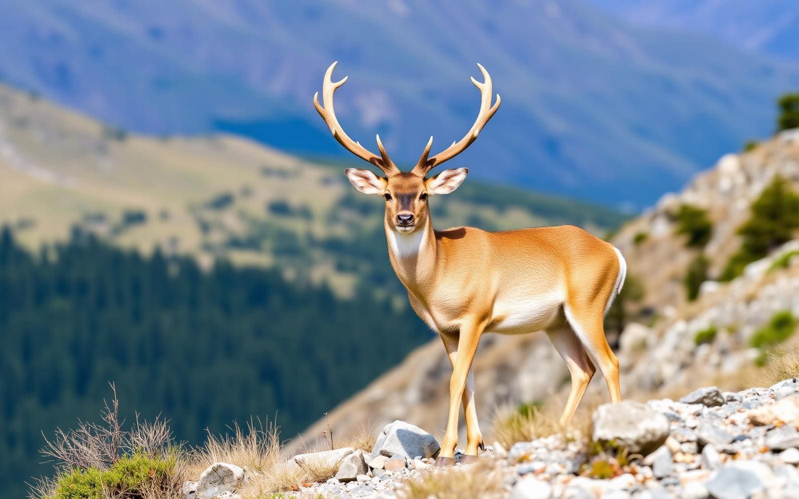
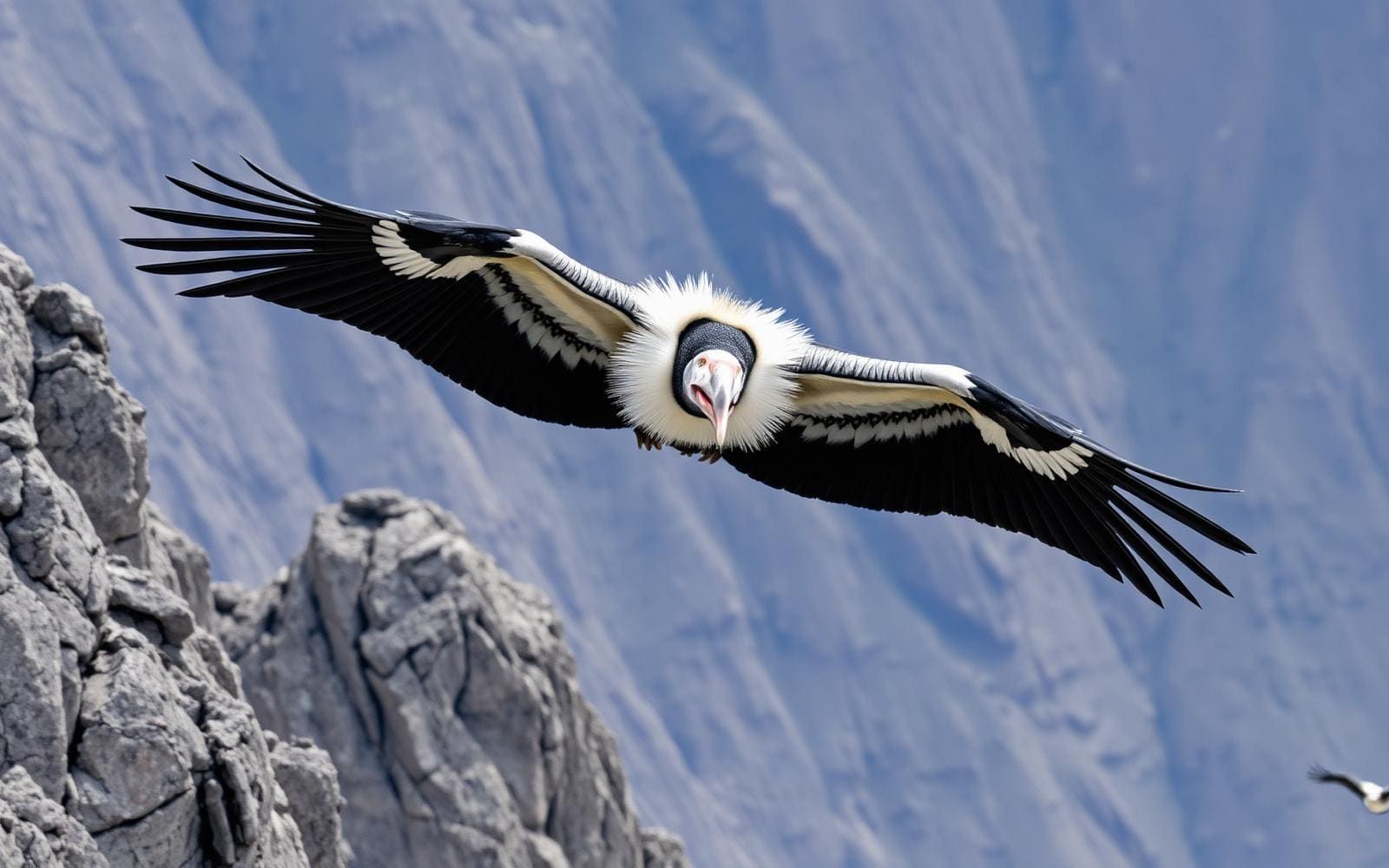
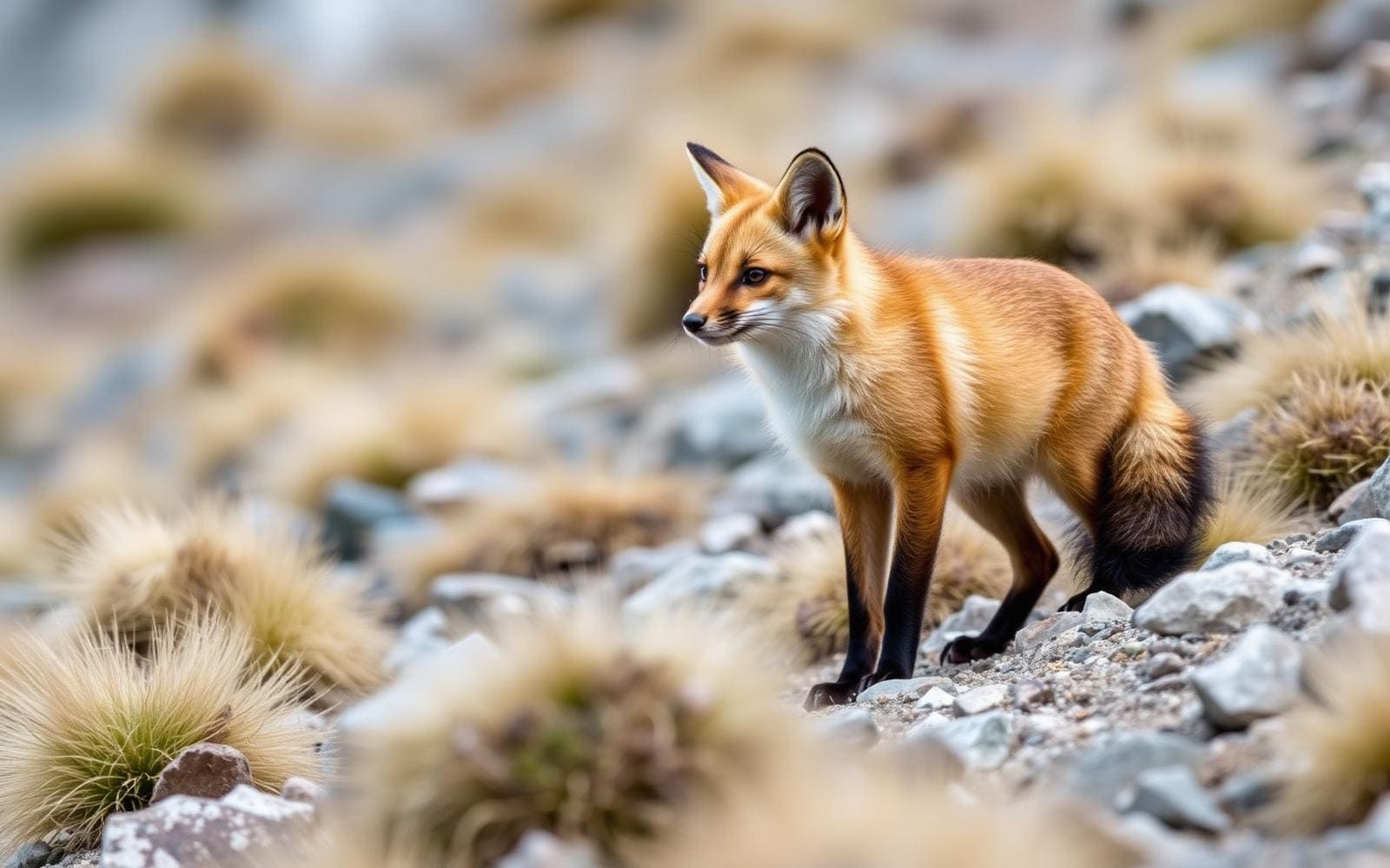
Animals around Rio Grande, Tierra del Fuego

Río Grande in its island setting
Río Grande is one of the two biggest towns on Isla Grande de Tierra del Fuego, alongside Ushuaia. Both are in Argentina, on an island divided between Argentina and Chile near the southern tip of South America. The Strait of Magellan separates the island from the mainland. For trip planning, the important distinction is between Río Grande, the individual town, and Tierra del Fuego, the much larger island group around it. Isla Grande is that archipelago’s principal landmass and the largest island in South America. A visit centered on Río Grande therefore needs a narrower scope than a general Tierra del Fuego itinerary. Start with the town as the geographic focus, then establish the actual access arrangements for any outdoor objective rather than treating the surrounding island as a single accessible recreation area.
Landscape context without confusing destinations
The wider Argentine Patagonian landscape includes Andean peaks, glaciers, highland lakes, dry scrub forests, an arid Atlantic coast, and desert. That regional variety is useful context, but it is not a checklist of features immediately accessible from Río Grande. Likewise, Tierra del Fuego’s mountain geography should not be confused with the town’s local surroundings. The island’s highest point, unofficially named Monte Shipton, is in Chile; nearby Mount Darwin is also part of that broader island setting. Neither should be treated as a local Río Grande outing. Choose an outdoor objective by its specific location and access conditions, not simply because it carries a Patagonia or Tierra del Fuego label. This keeps a town-centered visit distinct from a mountain expedition or a wider journey across the island.
Building a practical outdoor plan
A useful Río Grande plan begins by separating regional orientation from confirmed field access. A town name establishes a location, but it does not establish a trailhead, a public shoreline entrance, or permission to cross land. Before committing to an outing, confirm the starting point, whether access is public, and which authority or landholder handles questions about entry. For a longer island trip, keep the Argentine and Chilean portions distinct: the international boundary divides Isla Grande itself, not just the surrounding archipelago. Match clothing, water, navigation equipment, and weather preparation to the particular outing once its terrain is known. Patagonia’s broad range of landscapes makes a single generic packing plan less useful than one built around a verified destination. No specific local walking circuit or backcountry itinerary is established here.
Route options
- Río Grande–focused visit
Keep the trip centered on Río Grande and select outdoor outings only after confirming their individual starting points and access. This is a planning scope, not a defined walking or driving route.
- Argentine Isla Grande orientation
Consider Río Grande and Ushuaia as separate destinations within the Argentine portion of the island. Establish transport and local outdoor access independently; no connecting route or trail itinerary is specified.
Sample itineraries
- Río Grande orientation · 1 day
Use Río Grande, one of Isla Grande de Tierra del Fuego’s two largest towns, as the focus of an introductory day. Confirm local outdoor access and current conditions before choosing an outing; this plan does not assume an established trail or public access point.
- Río Grande and the Argentine island · 3 days
Spend the first day in Río Grande, then consider Tolhuin or Ushuaia for a broader introduction to Argentina’s portion of Isla Grande de Tierra del Fuego. Verify transport and allow for travel between towns. This is a town-based outline, not a verified driving or hiking route.
Seasonal conditions
Spring
Spring trip planning
Check Río Grande forecasts and local access conditions before selecting outdoor activities. Do not assume conditions described for Patagonia’s mountains apply to outings around town.
Summer
Summer trip planning
Choose activities using current local forecasts rather than assuming summer guarantees suitable conditions. Confirm transport and access separately for any wider island excursion.
Fall
Fall trip planning
Keep outdoor plans flexible and check conditions for the specific place being visited. A town-based stay avoids committing to an unverified backcountry route.
Winter
Winter trip planning
Confirm local weather, transport and the suitability of each proposed outing before departure. Do not treat an island-wide itinerary as evidence that a particular outdoor route is accessible.
| Season | Window | Conditions |
|---|---|---|
| Spring | Spring trip planning | Check Río Grande forecasts and local access conditions before selecting outdoor activities. Do not assume conditions described for Patagonia’s mountains apply to outings around town. |
| Summer | Summer trip planning | Choose activities using current local forecasts rather than assuming summer guarantees suitable conditions. Confirm transport and access separately for any wider island excursion. |
| Fall | Fall trip planning | Keep outdoor plans flexible and check conditions for the specific place being visited. A town-based stay avoids committing to an unverified backcountry route. |
| Winter | Winter trip planning | Confirm local weather, transport and the suitability of each proposed outing before departure. Do not treat an island-wide itinerary as evidence that a particular outdoor route is accessible. |
Permits, fees & closures
Confirm access requirements and any permits with the managing agency for each proposed outdoor site.
Confirm current permits, fees, and closures with the managing agency before you go.
Hazards & regulations
- Earthquakes are a documented island hazard: a powerful earthquake occurred near the Argentine border in the Chilean portion of Tierra del Fuego.
- Patagonia includes rugged backcountry suited to experienced outdoor travelers. Do not treat Río Grande’s urban setting as a measure of difficulty for regional wilderness trips.
- Mountain and glacier terrain occurs in the wider region. Town-based sightseeing does not establish readiness for those environments; assess any proposed mountain excursion separately.
What to pack for Rio Grande, Tierra del Fuego
- Layered clothing selected for the local forecast
- Weatherproof outerwear appropriate to the planned outing
- Water and food for the planned outing
- Navigation information for the specific destination
- Basic first-aid supplies
- Footwear matched to confirmed terrain
Rio Grande, Tierra del Fuego FAQ
- Where is Río Grande?
- Río Grande is in Argentina’s Tierra del Fuego Province, on the Argentine portion of Isla Grande de Tierra del Fuego near South America’s southern tip.
- Is the whole island in Argentina?
- No. Isla Grande de Tierra del Fuego is divided between Chile in the west and Argentina in the east. Río Grande and Ushuaia are both on the Argentine side.
- How does the island relate to Tierra del Fuego?
- Isla Grande de Tierra del Fuego is the largest island in South America and the main landmass of the wider Tierra del Fuego archipelago. The Strait of Magellan separates it from mainland South America.
- Which other Argentine towns could be considered?
- Ushuaia and Tolhuin are other towns on the island’s Argentine side. Confirm transport before combining them with Río Grande; no specific connecting route or travel time is established here.
- Should a Río Grande visit include mountain or glacier travel?
- Not automatically. Mountains and glaciers feature in the wider Patagonian landscape, but that does not establish a suitable excursion from Río Grande. Choose a specific outing only after confirming its access, terrain and skill requirements.