



- Region
- Tierra del Fuego Province
- Country
- Argentina
- Best for
- fly fishing, fishing
- Best season
- Spring, Summer
- Permits
- Confirm permit requirements, access rules,…
Plan with verified data
Río Grande (Tierra del Fuego) trip tools
Tools for a trip here
Picked for how, when and where you're going. Free, no signup.
How to get there
Río Grande is on the Argentine portion of Isla Grande de Tierra del Fuego, in Tierra del Fuego Province. The Strait of Magellan separates the island from mainland South America. Confirm transport connections and the final approach to Río Grande before setting an itinerary.
- Río Grande
The destination town and one of the island’s two biggest towns. Use it as the geographic focus when confirming local outdoor access; this entry does not identify a trailhead.
- Ushuaia
The other major town on the Argentine portion of the island. It provides a separate geographic anchor for broader island planning, rather than a confirmed access point for an outing near Río Grande.
Sources: Wikipedia · Wikivoyage. Confirm road and trailhead conditions with the managing agency before you leave.
Tierra del Fuego Province · Argentina · Season: Spring through fall
- Fishing
Overview
Sea-run brown trout country. Big fish, big wind, big flies.
Planning notes
Where: Tierra del Fuego Province, Argentina Best season: Spring through fall Good for: Fly Fishing, Fishing Featured on: Top 10 Fly-Fishing Destinations (#3) Access point: Rio Grande, Tierra del Fuego Province, Argentina
Check current permits, closures and fire restrictions with the managing agency before you commit to dates.
Where on earth
Satellite imagery flying in from a world view to Río Grande (Tierra del Fuego), Argentina. Use the + / − buttons, or click the map to zoom with your scroll wheel; drag to pan and pinch to zoom on touch.
Coordinates
- Decimal degrees
- -53.7860, -67.7002
- Latitude (DMS)
- 53° 47′ 9.7″ S
- Longitude (DMS)
- 67° 42′ 0.8″ W
Coordinates are an access-point reference for Río Grande (Tierra del Fuego), not a route. Carry a paper map and confirm trailhead or put-in access with the managing agency before you go.
Topic summary
Sea-run brown trout country at the bottom of Argentina, where wind and tide set the fishing clock.
Key takeaways
- Region: Tierra del Fuego Province
- Country: Argentina
- Best season: Spring through fall
- Good for: fly fishing, fishing
- Coordinates: -53.786, -67.700
Intended uses
- fly fishing
- fishing
Climate suitability
Spring through fall
Keep planning
Popular pursuits at Río Grande (Tierra del Fuego)
- Fishing
Resident gamefish, seasons, and the water that holds them.
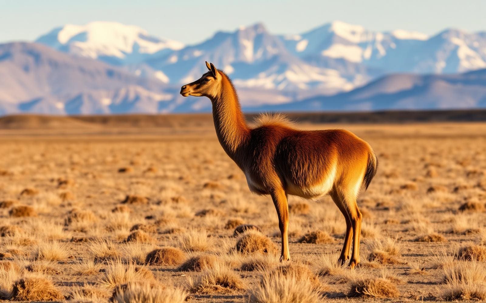
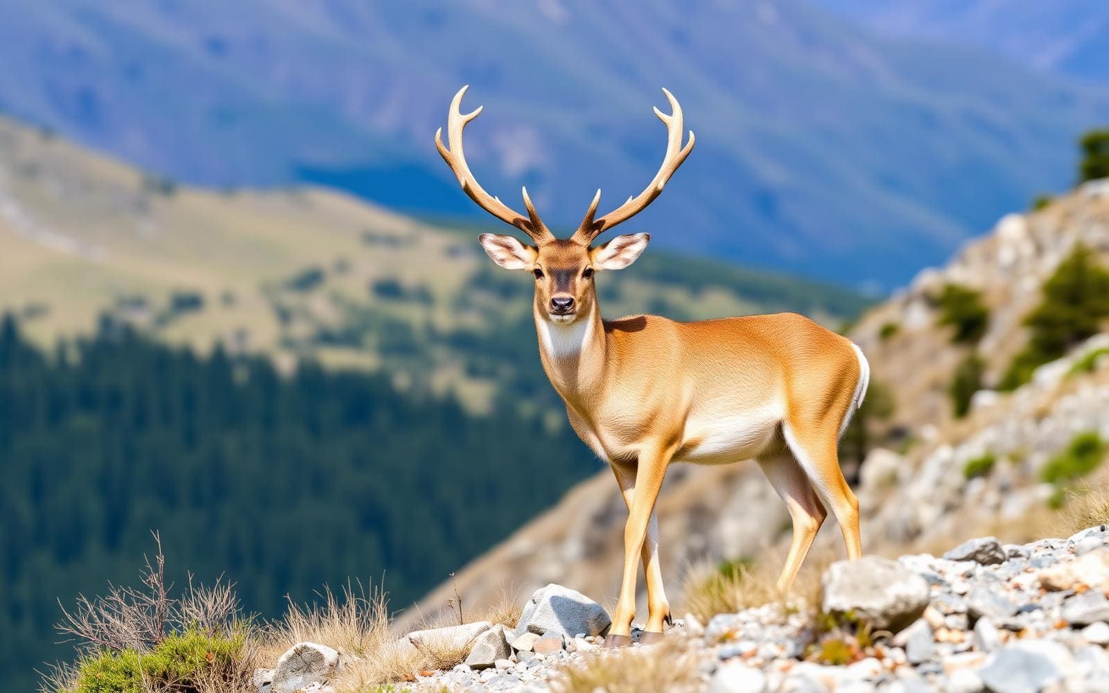
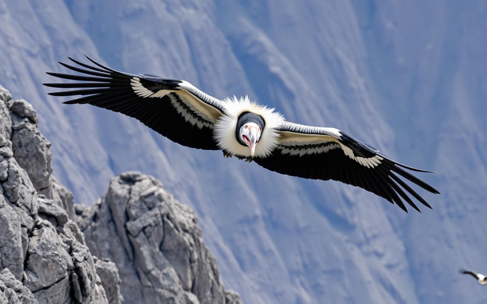
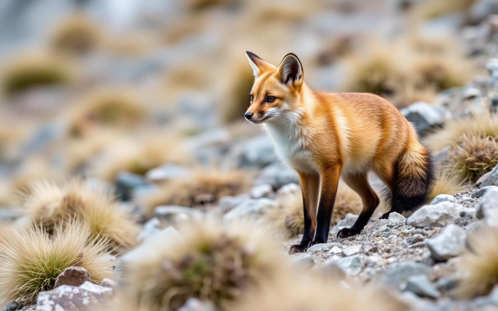
Animals around Río Grande (Tierra del Fuego)

Río Grande in its island setting
Río Grande is one of the two biggest towns on Isla Grande de Tierra del Fuego, alongside Ushuaia. Both are in Argentina, on the eastern portion of an island shared with Chile. For trip planning, that geography matters: Tierra del Fuego names both an extended archipelago and the Argentine province, while Isla Grande is the archipelago’s main landmass. Río Grande belongs to the Argentine province, not the Chilean portion of the island. Treat the town as a destination within this larger island setting rather than assuming that every Tierra del Fuego landscape or outing lies nearby. A useful first step is to separate plans centered on Río Grande from broader island travel, then confirm the actual access arrangements for each outdoor stop.
An island divided between two countries
Isla Grande de Tierra del Fuego lies near the southern tip of South America, separated from the mainland by the Strait of Magellan. At 47,992 square kilometres, it is South America’s largest island. Argentina occupies the eastern portion, accounting for about 39 percent of its area; Chile occupies the western portion. The island’s other towns include Tolhuin, Porvenir, Camerón and Cerro Sombrero, but their presence on the same island does not make them interchangeable access points for Río Grande. Keep the international division in mind when choosing a wider itinerary. The island’s highest point, unofficially named Monte Shipton, is in Chile, as is nearby Mount Darwin. Those mountains belong to the broader island picture, not a description of a local Río Grande outing.
Planning an outdoor visit without assuming the terrain
Argentine Patagonia encompasses very different environments: Andean peaks and glaciers, highland lakes, dry scrub forests, an arid Atlantic coast and desert country. That regional variety is useful context, but it is not a local trail description for Río Grande. Choose an outing by its specific terrain and access conditions rather than by the general idea of Patagonia as mountain wilderness. Before committing to an outdoor day, establish the starting point, whether entry is allowed, the expected conditions and the equipment needed for that particular activity. Keep plans flexible until those details are settled. For a wider Tierra del Fuego trip, distinguish town visits from backcountry travel; sharing an island does not establish a practical route, a short transfer or a suitable outing.
Route options
- Río Grande-focused visit
Keep the itinerary centered on the destination town, with outdoor stops selected only after their location and access have been confirmed. This is a planning option, not an established hiking or driving route.
- Río Grande and Ushuaia island itinerary
Consider the island’s two biggest towns as separate stops in a broader Argentine Tierra del Fuego visit. Confirm transport and any outdoor access independently; no connecting road alignment or trail is specified here.
Sample itineraries
- Río Grande orientation · 1 day
Use Río Grande, one of Isla Grande de Tierra del Fuego’s two largest towns, for an introductory day. Confirm local access and conditions before choosing an outdoor outing; keep the plan flexible rather than committing to an unverified trail.
- Río Grande and island context · 2 days
Spend the first day orienting in Río Grande and checking outdoor options locally. Reserve the second for an outing suited to confirmed conditions and access. Keep Argentine and Chilean destinations distinct when planning: Isla Grande de Tierra del Fuego is divided between both countries.
Seasonal conditions
Spring
Confirm suitable timing locally
Local spring trail and weather conditions are not established here. Check the forecast and access before selecting an outing; do not assume a regional Patagonia description establishes conditions around Río Grande.
Summer
Confirm suitable timing locally
No local summer access or weather pattern is established here. Choose outdoor plans using current conditions and verified local information, especially before attempting rugged backcountry travel.
Fall
Confirm suitable timing locally
Local fall conditions and usable routes need confirmation. Keep the schedule flexible and match equipment and outing difficulty to the forecast rather than assuming conditions elsewhere in Patagonia apply.
Winter
Confirm suitable timing locally
Winter route availability and ground conditions need local confirmation. Avoid committing to backcountry travel without checking access, weather, and the skills and equipment the intended outing requires.
| Season | Window | Conditions |
|---|---|---|
| Spring | Confirm suitable timing locally | Local spring trail and weather conditions are not established here. Check the forecast and access before selecting an outing; do not assume a regional Patagonia description establishes conditions around Río Grande. |
| Summer | Confirm suitable timing locally | No local summer access or weather pattern is established here. Choose outdoor plans using current conditions and verified local information, especially before attempting rugged backcountry travel. |
| Fall | Confirm suitable timing locally | Local fall conditions and usable routes need confirmation. Keep the schedule flexible and match equipment and outing difficulty to the forecast rather than assuming conditions elsewhere in Patagonia apply. |
| Winter | Confirm suitable timing locally | Winter route availability and ground conditions need local confirmation. Avoid committing to backcountry travel without checking access, weather, and the skills and equipment the intended outing requires. |
Permits, fees & closures
Confirm permit requirements, access rules, and any charges with the managing agency for the specific area before visiting.
Confirm current permits, fees, and closures with the managing agency before you go.
Hazards & regulations
- Rugged backcountry terrain: Patagonia includes demanding landscapes suited to experienced outdoor travelers. Verify the difficulty of any proposed outing rather than treating it as an easy town excursion.
- Dry conditions: Patagonia includes arid coastal and desert landscapes. If a locally confirmed outing enters dry terrain, carry sufficient water rather than assuming supplies will be available.
- Earthquakes: A powerful earthquake occurred on the island near the Argentine–Chilean border. Know local emergency guidance.
What to pack for Río Grande (Tierra del Fuego)
- Layered clothing matched to the current forecast
- Protective outer layer
- Footwear suited to confirmed terrain
- Drinking water appropriate to the outing
- Food
- First-aid kit
- Navigation information for the verified route
Río Grande (Tierra del Fuego) FAQ
- Where is Río Grande?
- Río Grande is in Argentina’s Tierra del Fuego Province, on the Argentine portion of Isla Grande de Tierra del Fuego near the southern tip of South America.
- Is the whole island Argentine?
- No. The western portion belongs to Chile, while the eastern portion belongs to Argentina. Check which country contains each destination when planning a wider island trip.
- How does Río Grande relate to Ushuaia?
- Río Grande and Ushuaia are the island’s two largest towns, both in Argentina. Do not assume outdoor access or conditions in one town apply to the other.
- Can a specific hiking route be recommended?
- No verified local trail or access point is established here. Obtain route-specific information locally before choosing a hike, including terrain, access permission, and current conditions.
- Should glaciers and mountain peaks be expected around town?
- Patagonia’s broader landscapes include glaciers, mountain peaks, dry scrub, arid coast, and desert. That regional variety does not establish which features are accessible from Río Grande; confirm the location and access of any intended destination.