



- Region
- Venezuela / Guyana / Brazil
- Best season
- Spring, Summer
- Permits
- Confirm current access rules and permit re…
Plan with verified data
Tepui Highlands (Roraima) trip tools
Tools for a trip here
Picked for how, when and where you're going. Free, no signup.
Photos of Tepui Highlands (Roraima)
How to get there
The south side of Mount Roraima is the identified hiking approach, with relatively accessible climbing conditions through the cliff barrier. Confirm transport arrangements and the exact starting point locally before committing to an itinerary.
- South side of Mount Roraima
The identified side for relatively accessible hiking and climbing access. An exact trailhead and transport connection are not established here.
- Southern cliff edge, Venezuela
Location of Roraima’s 2,810-metre highest point and a summit-side destination, not a separately established entry route through the cliffs.
Sources: Wikipedia · Wikivoyage. Confirm road and trailhead conditions with the managing agency before you leave.
Venezuela / Guyana / Brazil · Season: Best: Dec – Apr (dry season)
- Mountaineering
- Sea Kayaking
- Beachcombing
- Hiking
- Safari
- Wildlife Viewing
The country
The tepuis are 2-billion-year-old sandstone tablelands scattered across the Venezuela–Guyana–Brazil border. Each summit is a biological island with endemic species that never leave the top.
Why enthusiasts come
The Roraima trek from Paraitepui is one of the most unique multi-day walks anywhere — 6 days from tropical grassland onto a Precambrian rock world.
Planner-relevant notes
Local Pemon guides are required. Venezuela's political situation affects access — check current advisories. Cook stove fuel is scarce; carry from home.
Field notes
- Summit weather is wet and cold even in the dry season — full rain kit.
- Endemic frogs and plants on the summit are legally protected — camera only.
- Guide selection matters — reputation lasts in the Pemon community.
Where on earth
Satellite imagery flying in from a world view to Tepui Highlands (Roraima), Venezuela / Guyana / Brazil. Use the + / − buttons, or click the map to zoom with your scroll wheel; drag to pan and pinch to zoom on touch.
Coordinates
- Decimal degrees
- 5.1400, -60.7600
- Latitude (DMS)
- 5° 8′ 24.0″ N
- Longitude (DMS)
- 60° 45′ 36.0″ W
Coordinates are an access-point reference for Tepui Highlands (Roraima), not a route. Carry a paper map and confirm trailhead or put-in access with the managing agency before you go.
Topic summary
Table-top mountains rising 1 km straight out of the Gran Sabana — the inspiration for The Lost World.
Key takeaways
- Region: Venezuela / Guyana / Brazil
- Best season: Best: Dec – Apr (dry season)
- Coordinates: 5.140, -60.760
Climate suitability
Best: Dec – Apr (dry season)
Keep planning
Popular pursuits at Tepui Highlands (Roraima)
- Mountaineering
Glacier and high-route objectives with real consequence.
- Sea Kayaking
Coastal crossings, tides, and protected camps.
- Beachcombing
Tide-line walking between camps.
- Hiking
Day miles on marked trail, with route notes and trail links below.
- Safari
Game drives and the seasons that concentrate animals.
- Wildlife Viewing
Best light, best season, and where animals move.
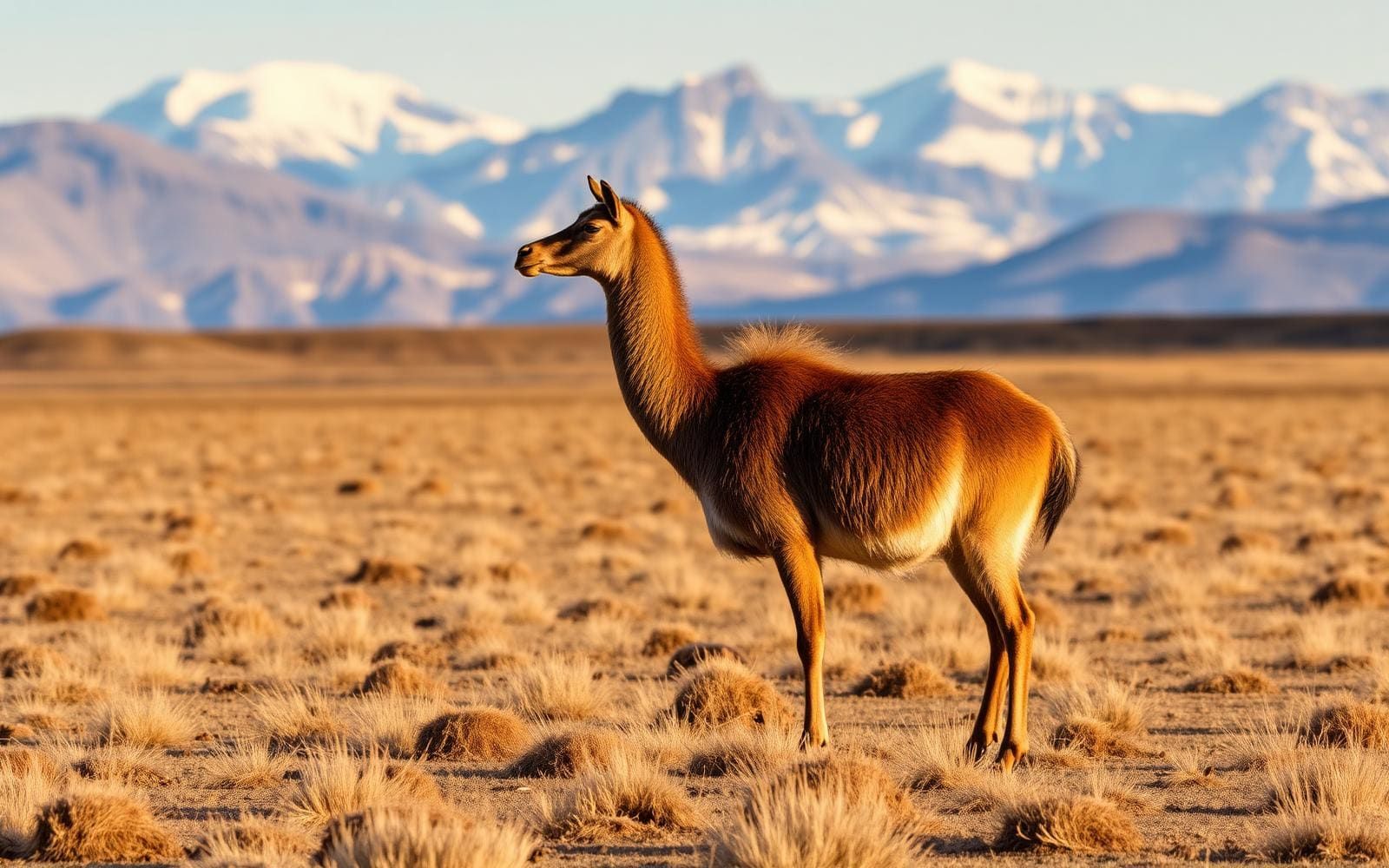
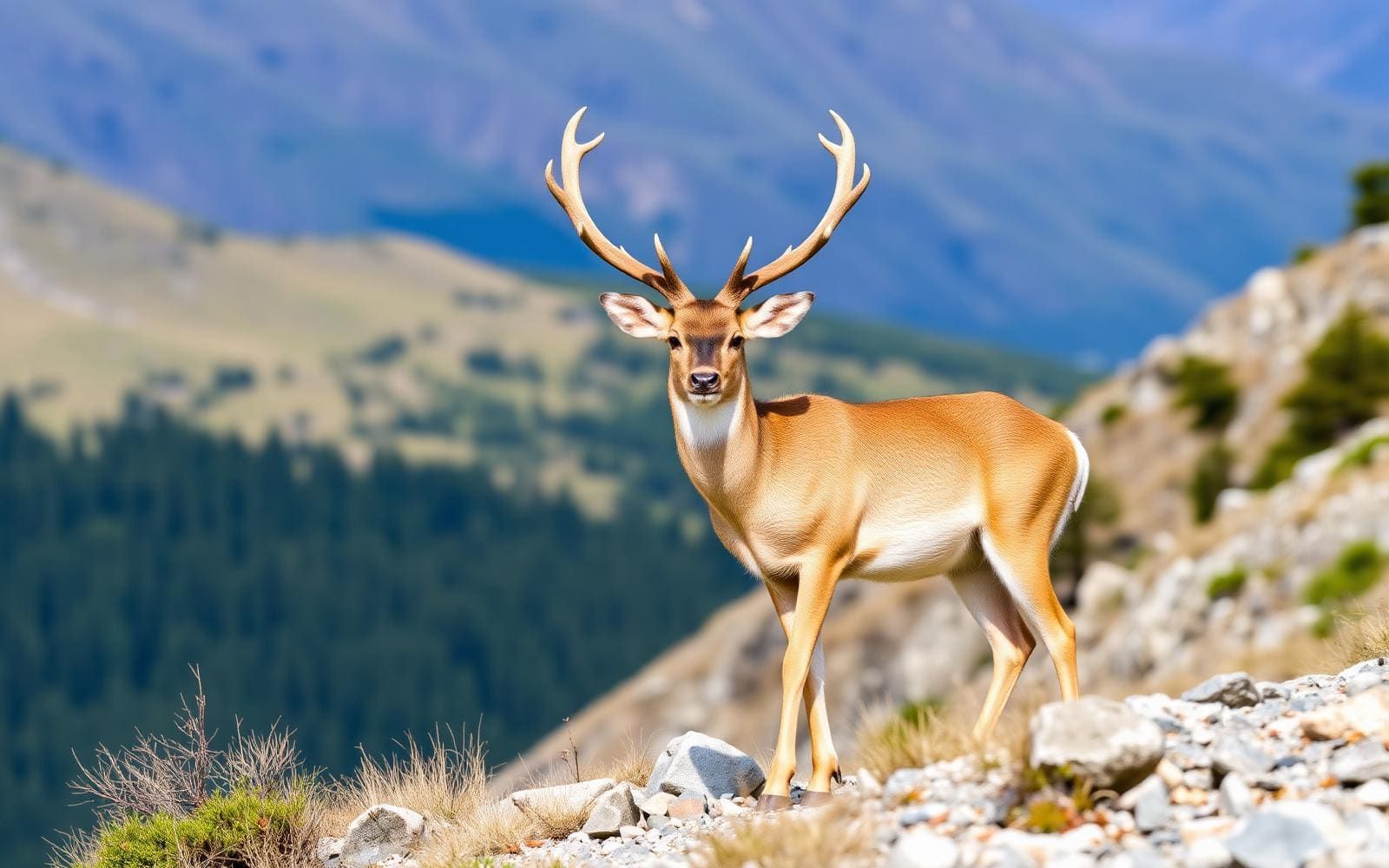
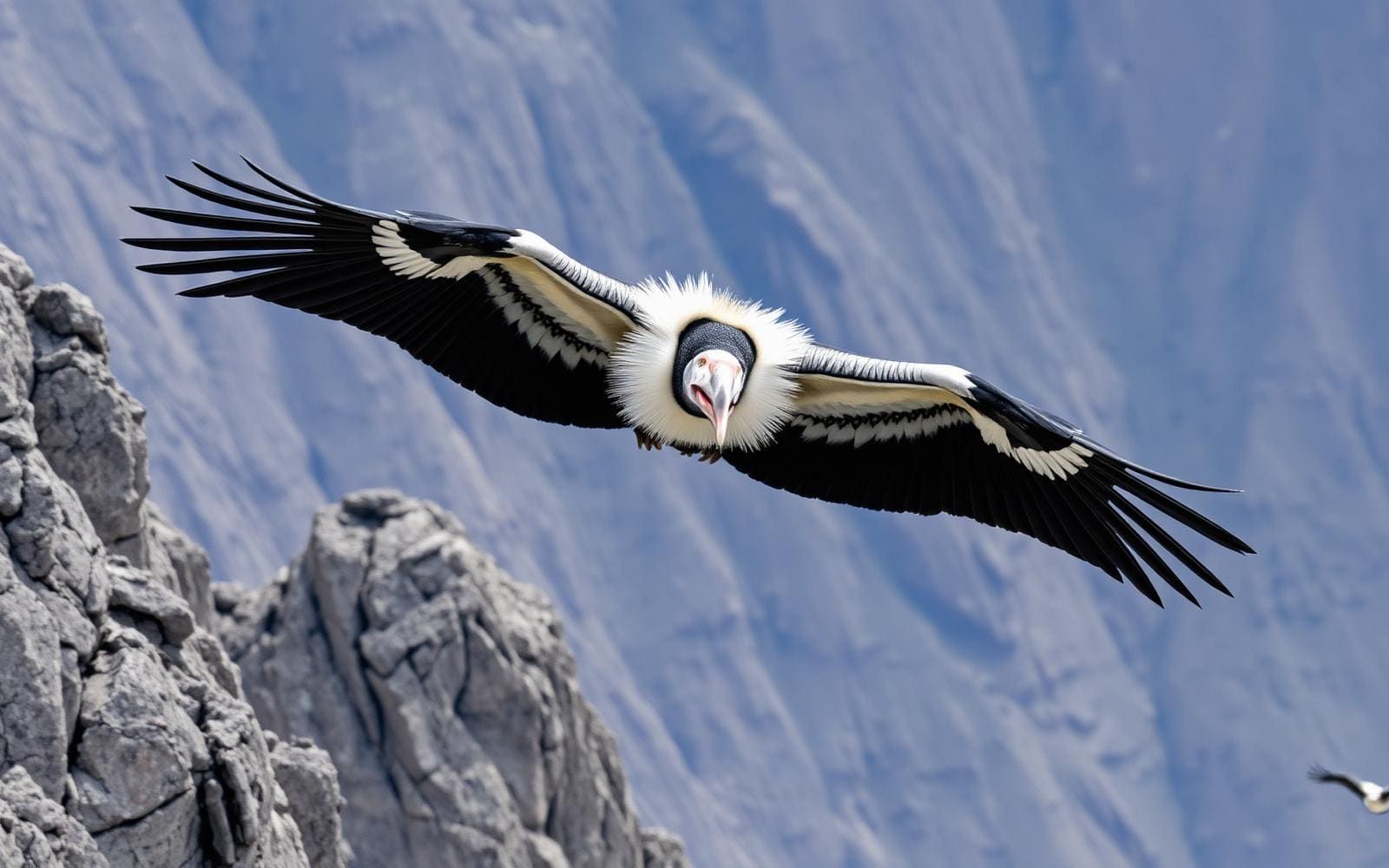
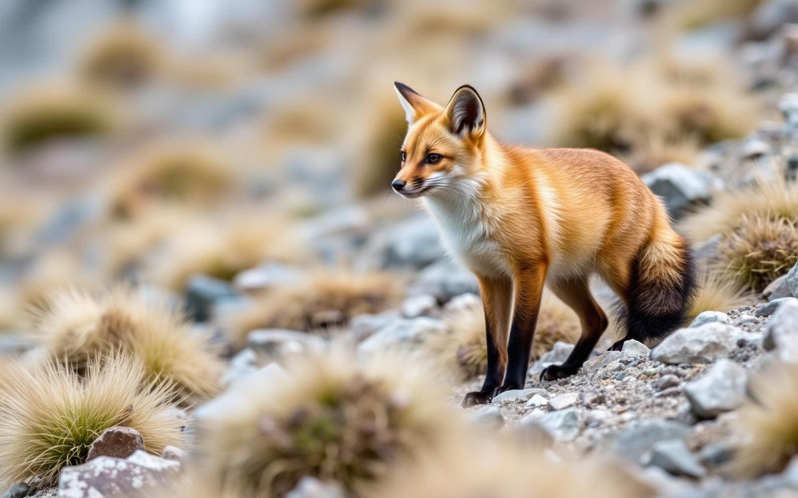
Animals around Tepui Highlands (Roraima)

A table mountain at three borders
Mount Roraima stands at the junction of Venezuela, Guyana and Brazil, forming the highest tepui in South America’s Pacaraima chain. Its defining feature is a broad, flat summit enclosed by cliffs rising 400–1,000 metres. That shape matters for trip planning: a plateau visible above the surrounding country is not a summit that can be approached from any direction. The south side has the relatively accessible climbing conditions that draw hikers. Roraima’s highest point reaches 2,810 metres on the southern cliff edge in Venezuela. A separate northern protrusion at the three-country junction reaches 2,772 metres and is Guyana’s highest point. These are distinct features of the same mountain, rather than interchangeable descriptions of its summit.
Rain-shaped terrain and isolated life
Intense rainfall and the leaching it causes have shaped Roraima’s unusual summit topography. Water is therefore central to understanding this landscape, not simply a possible inconvenience on a hiking trip. Plan clothing and equipment for wet conditions, protect essential items from moisture, and assess footing carefully rather than assuming the flat-topped outline means straightforward walking. The mountain’s geographical isolation has also fostered many endemic plants and animals. Keep movement deliberate around vegetation and avoid disturbing wildlife or collecting natural objects. Despite repeated exploration, aspects of Roraima’s flora and geology remain poorly understood. A visit is best approached as travel through a distinctive, sensitive mountain environment, with time to observe its terrain rather than treating the plateau only as a summit objective.
Hiking context and local identity
Roraima’s name comes from the Pemon people: roroi means “blue-green” and ma means “great.” That local identity predates the British expedition that first climbed the mountain in 1884 during the period of Western exploration. Today, the mountain attracts hikers because the southern cliffs offer relatively easy access and climbing conditions compared with its enclosing walls. Relative accessibility should not be confused with a fully specified itinerary or an assurance of easy travel. The cliff setting and rain-shaped terrain call for careful route planning and conservative decisions near exposed edges. Before arranging a trip, confirm the actual approach, current access requirements and any permissions with the responsible local authorities. Do not assume that the mountain’s position across three countries provides equivalent hiking access from each.
Route options
- South-side ascent
Plan around the southern approach, where access and climbing conditions are relatively easier than the surrounding cliff walls. Confirm the precise route and practical arrangements locally.
- Summit plateau exploration
A plateau-focused outing can emphasize the rain-shaped terrain and endemic flora and fauna. The southern high point and northern three-country protrusion are distinct landmarks; no marked connection or walking itinerary between them is established here.
Sample itineraries
- South-side orientation day · 1 day
Use a planning and orientation day to assess access on Roraima’s Venezuelan south side, where hiking access is relatively easier. Confirm the approach, current conditions and time needed locally before committing to an ascent. This is not a one-day summit itinerary.
- Summit plateau observation day · 1 day
Set aside an observation day within a separately planned summit trip. Focus on rainfall-shaped terrain and isolated plateau habitats, keeping well back from cliff edges and avoiding disturbance to plants and animals. This day excludes the approach, ascent and descent.
Seasonal conditions
Spring
Confirm local conditions before choosing dates
Do not assume spring means mild or dry hiking. Intense rainfall shapes Roraima’s summit; plan for wet terrain and weather exposure, with conditions checked locally.
Summer
Confirm local conditions before choosing dates
Do not treat summer as a guaranteed dry season. The high plateau calls for rain protection, protected dry clothing and flexibility when weather affects safe movement.
Fall
Confirm local conditions before choosing dates
A reliable fall weather advantage is not established. Prepare for rainfall and assess footing carefully on the summit’s irregular terrain.
Winter
Confirm local conditions before choosing dates
The winter label alone is not a useful guide to conditions here. Account for the summit’s elevation and rainfall rather than assuming either snow conditions or dry weather.
| Season | Window | Conditions |
|---|---|---|
| Spring | Confirm local conditions before choosing dates | Do not assume spring means mild or dry hiking. Intense rainfall shapes Roraima’s summit; plan for wet terrain and weather exposure, with conditions checked locally. |
| Summer | Confirm local conditions before choosing dates | Do not treat summer as a guaranteed dry season. The high plateau calls for rain protection, protected dry clothing and flexibility when weather affects safe movement. |
| Fall | Confirm local conditions before choosing dates | A reliable fall weather advantage is not established. Prepare for rainfall and assess footing carefully on the summit’s irregular terrain. |
| Winter | Confirm local conditions before choosing dates | The winter label alone is not a useful guide to conditions here. Account for the summit’s elevation and rainfall rather than assuming either snow conditions or dry weather. |
Permits, fees & closures
Confirm current access rules and permit requirements with the managing agency before arranging the trip.
Confirm current permits, fees, and closures with the managing agency before you go.
Hazards & regulations
- Cliffs surrounding the plateau rise 400–1,000 metres. Keep well back from edges; a relatively easier southern approach does not make the cliff environment forgiving.
- Intense rainfall can leave terrain wet and footing uncertain. Slow down where a slip would have serious consequences.
- The summit’s rainfall-shaped topography can complicate movement. Carry navigation tools and avoid committing to terrain without a clear way back.
- The highest point reaches 2,810 metres. Allow for exertion at elevation and carry protection against wet, exposed conditions.
What to pack for Tepui Highlands (Roraima)
- Waterproof jacket and trousers
- Dry bags for clothing and electronics
- Insulating layer
- Sun protection
- Hiking footwear with reliable wet-surface grip
- Navigation tools with offline coverage
- Backup power
- Headlamp
- Water-carrying capacity and treatment
- Food appropriate to the confirmed trip length
- First-aid kit
- Emergency shelter
- Waste bags
Tepui Highlands (Roraima) FAQ
- Where is Mount Roraima?
- Roraima stands at the junction of Venezuela, Guyana and Brazil. It is the highest tepui in the Pacaraima chain.
- How high is the summit?
- The highest point is 2,810 metres, on the southern cliff edge in Venezuela. A separate northern protrusion at the three-country junction reaches 2,772 metres and is Guyana’s highest point.
- Which side offers hiking access?
- The south side has relatively easier access and climbing conditions. That does not establish a specific route, trip duration or current access status; confirm those details before departure.
- What makes the plateau distinctive?
- Roraima is a large, flat-topped mountain enclosed by towering cliffs. Intense rainfall has shaped its unusual summit terrain, while isolation has fostered endemic plants and animals.
- What does the name Roraima mean?
- The name comes from the Pemon people: roroi means “blue-green,” and ma means “great.”
- Is there a confirmed best season or standard trek length?
- No dependable seasonal window or complete trek duration is established here. Obtain current local advice before booking, and treat the one-day suggestions as components of a separately planned trip, not complete summit outings.