



- Region
- Western Mongolia
- Best season
- Spring, Summer
- Permits
- Confirm entry permissions, activity requir…
Plan with verified data
Altai Mountains trip tools
Tools for a trip here
Picked for how, when and where you're going. Free, no signup.
Photos of Altai Mountains
How to get there
Plan the approach through western Mongolia, which includes Bayan-Ölgii, Hovd, Uvs, and Zavkhan provinces. Ulaanbaatar is the capital-side starting point for the road approach described here, but onward road conditions, transport connections, and mountain access need confirmation before departure. No specific mountain trailhead or driving time is established.
- Bayan-Ölgii
A province within western Mongolia to consider when narrowing the regional approach. This is a planning area, not an identified trailhead; confirm the exact mountain access point and onward transport.
- Hovd
Another western Mongolian province for regional access planning. Select a specific mountain objective before arranging an approach; no road-to-trail connection is established here.
Sources: Wikipedia · Wikivoyage. Confirm road and trailhead conditions with the managing agency before you leave.
Western Mongolia · Season: Best: Jul – Aug (eagle festival Oct)
- Climbing
- Mountaineering
The country
Western Mongolia's Bayan-Ölgii province is largely Kazakh, home to the world's remaining traditional eagle hunters. Beyond Ölgii, the Tavan Bogd (Five Saints) massif holds Mongolia's tallest peaks.
Why enthusiasts come
Horseback and foot traverses to Tavan Bogd base camp, with side-trip mountaineering on Malchin Peak. The eagle festival in October is a genuine cultural event, not a tourist show.
Planner-relevant notes
Border-zone permits required — arrange through local operators in Ölgii. Weather can drop from 25°C to sub-freezing in a day at altitude.
Field notes
- Local ger-stay etiquette is real; guides brief you before entering.
- Cash economy above Ölgii — bring Mongolian tögrög.
- Comms are satellite-only above 3,000 m.
Where on earth
Satellite imagery flying in from a world view to Altai Mountains, Western Mongolia. Use the + / − buttons, or click the map to zoom with your scroll wheel; drag to pan and pinch to zoom on touch.
Coordinates
- Decimal degrees
- 48.5000, 89.0000
- Latitude (DMS)
- 48° 30′ 0.0″ N
- Longitude (DMS)
- 89° 0′ 0.0″ E
Coordinates are an access-point reference for Altai Mountains, not a route. Carry a paper map and confirm trailhead or put-in access with the managing agency before you go.
Topic summary
Kazakh eagle hunters, glaciated peaks, and horseback traverses at the Russian/Kazakh/Chinese corner.
Key takeaways
- Region: Western Mongolia
- Best season: Best: Jul – Aug (eagle festival Oct)
- Coordinates: 48.500, 89.000
Climate suitability
Best: Jul – Aug (eagle festival Oct)
Keep planning
Popular pursuits at Altai Mountains
- Mountaineering
Glacier and high-route objectives with real consequence.
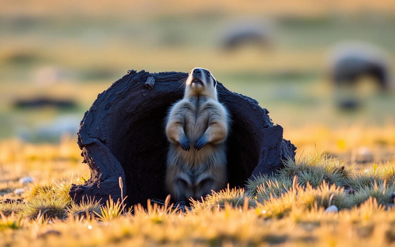
Animals around Altai Mountains

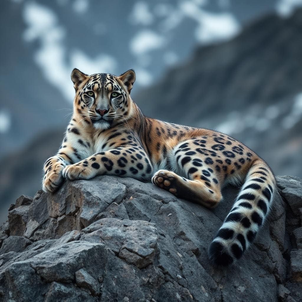
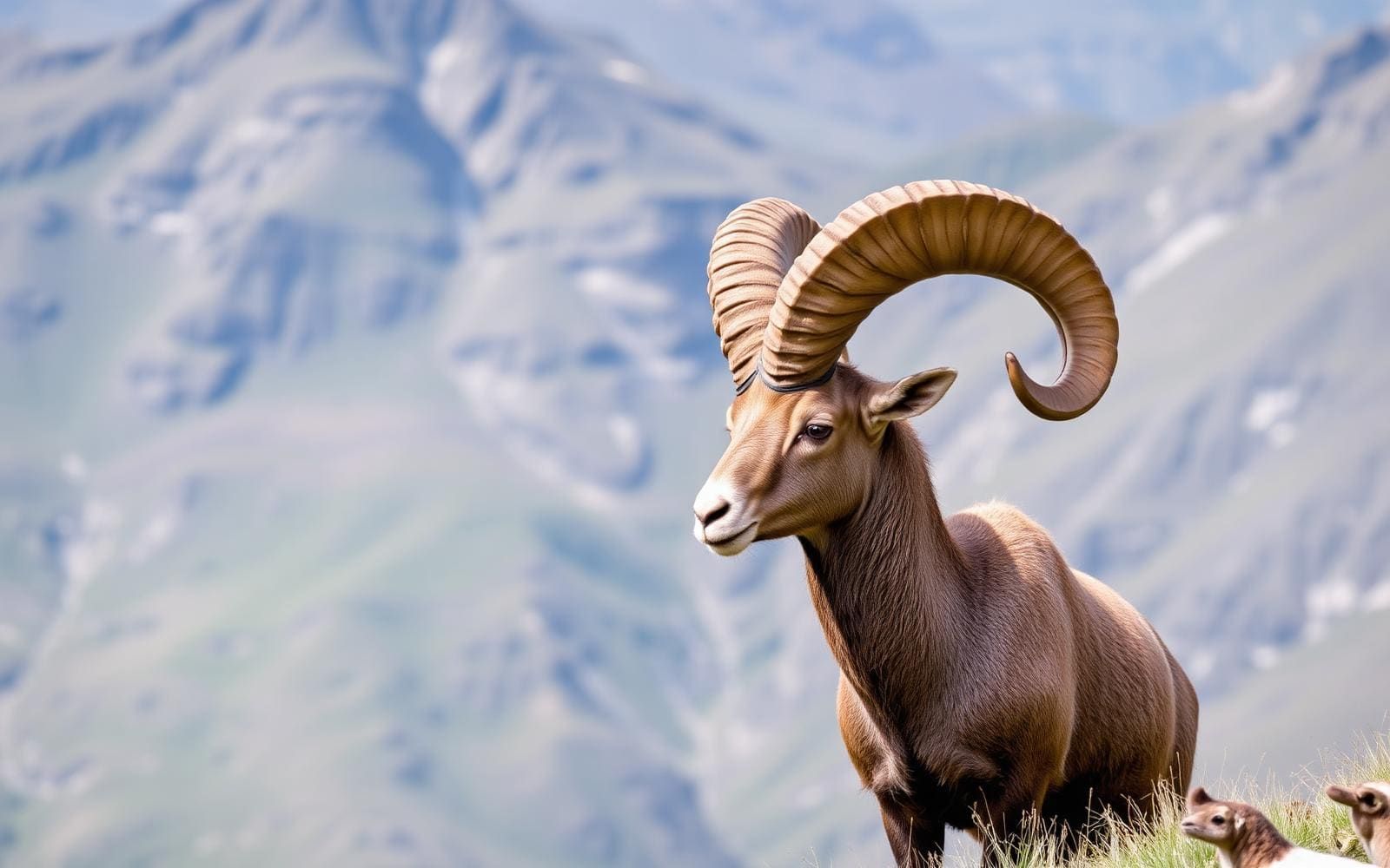
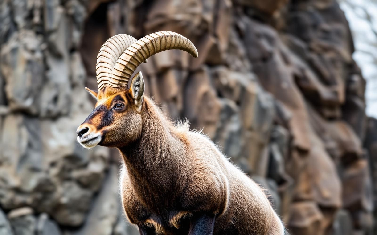
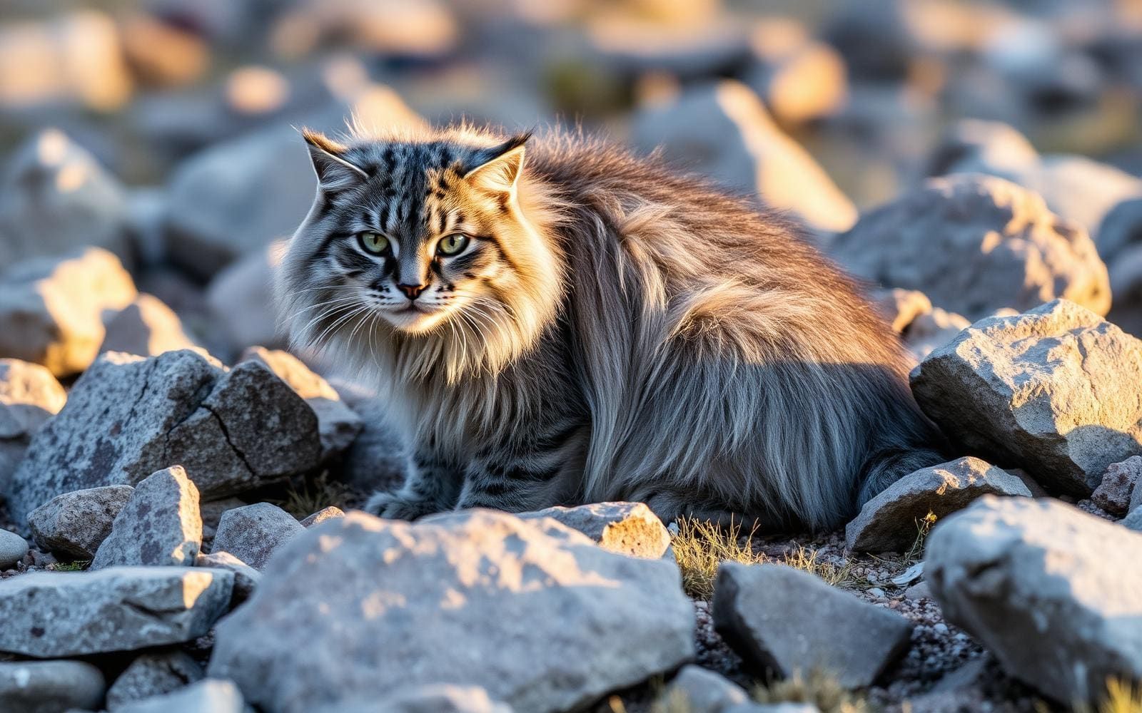

The Mongolian side of a cross-border range
The Altai Mountains extend across the meeting point of Mongolia, Russia, China, and Kazakhstan. In western Mongolia, they form part of a landscape containing the country’s highest peaks, smaller mountain groups, lakes, rivers, forests, and steppe. This is a destination to plan around a particular mountain area rather than treat as one continuous walking route. The wider range gradually lowers toward the southeast, where it meets the high plateau of the Gobi Desert; its character is not uniformly alpine. Belukha, at 4,506 metres, is the highest summit of the entire Altai range, not a Mongolian summit objective. For a trip focused on western Mongolia, keep the distinction between the international mountain range and its Mongolian portion clear when choosing maps, transport, and local advice.
Remoteness shapes the trip
Western Mongolia comprises Bayan-Ölgii, Hovd, Uvs, and Zavkhan provinces and is described as Mongolia’s most remote region. Reaching the region and reaching a suitable mountain starting point are separate planning tasks. Do not assume that a province name identifies a trailhead, or that the presence of a road establishes straightforward access to a walking route. Before committing to an itinerary, confirm the current road approach, onward transport, and the exact place where travel on foot begins. Mountain terrain and a sparsely populated landscape call for self-sufficient planning: carry navigation, weather protection, food, and a water-treatment method, and make a clear return plan. Leave flexibility for conditions rather than building a tight schedule around unverified driving or walking times. Specific trail alignments, distances, and access arrangements need local confirmation.
A lived-in landscape with a long history
The mountains sit within an ethnically diverse region, not an empty wilderness. Western Mongolia is home to Kazakhs, Oirats, and Khalkhs, while the broader Altai region supports communities whose livelihoods include livestock husbandry. Sheep, horses, and cattle are part of that working landscape. Approach encounters with residents respectfully, ask before photographing people, and avoid disrupting animals or daily work. Archaeological remains are another important part of the region: petroglyphs, cave paintings, standing stone monuments, monasteries, and ancient forts occur across western Mongolia, with history reaching back as far as 10,000 years. These are regional features rather than guaranteed stops on a mountain itinerary. Choose cultural visits around confirmed locations, leave markings and objects untouched, and allow time for the human history alongside the mountain travel.
Route options
- Altai Mountains
A mountain-focused trip in the Mongolian portion of the range, within a region containing Mongolia’s highest peaks. This is an itinerary direction rather than a defined trail: confirm the starting point, route alignment, terrain, and return arrangements locally.
- Lake Uvs
A large saltwater lake offering a separate western Mongolia objective for a broader regional itinerary. Treat it as an extension rather than an established Altai mountain route; confirm the specific lakeside destination and access before adding it to the trip.
Sample itineraries
- Two-day Altai mountain introduction · 2 days
Use this as a suggested framework, not a mapped route. Spend one day exploring accessible mountain and steppe terrain in western Mongolia, then another around a locally confirmed lake or river outing. Select a base and daily objectives after checking transport and terrain locally.
- Three-day landscape and heritage visit · 3 days
Allow a day for mountain scenery, a day for lakes and steppe, and a day for locally identified heritage sites. Western Mongolia has petroglyphs, standing stone monuments, and monasteries. Keep the itinerary within one locally workable area rather than assuming the region’s scattered attractions are close together.
Seasonal conditions
Spring
Confirm locally before choosing travel dates.
Plan conservatively for mountain weather and check ground conditions before setting walking objectives. Do not assume that access to lower steppe terrain establishes conditions higher in the Altai.
Summer
Confirm locally before choosing travel dates.
Choose outings around current weather, transport, and water availability. Mountain, forest, and steppe settings require different preparation; avoid treating the entire region as having uniform conditions.
Fall
Confirm locally before choosing travel dates.
Keep mountain plans flexible and carry insulation and weather protection. Check conditions for the specific area being visited rather than relying on a general regional season label.
Winter
Confirm locally before choosing travel dates.
Treat cold-weather preparation and reliable transport as priorities in this remote mountain region. Confirm local access and suitable activities before committing to an itinerary.
| Season | Window | Conditions |
|---|---|---|
| Spring | Confirm locally before choosing travel dates. | Plan conservatively for mountain weather and check ground conditions before setting walking objectives. Do not assume that access to lower steppe terrain establishes conditions higher in the Altai. |
| Summer | Confirm locally before choosing travel dates. | Choose outings around current weather, transport, and water availability. Mountain, forest, and steppe settings require different preparation; avoid treating the entire region as having uniform conditions. |
| Fall | Confirm locally before choosing travel dates. | Keep mountain plans flexible and carry insulation and weather protection. Check conditions for the specific area being visited rather than relying on a general regional season label. |
| Winter | Confirm locally before choosing travel dates. | Treat cold-weather preparation and reliable transport as priorities in this remote mountain region. Confirm local access and suitable activities before committing to an itinerary. |
Permits, fees & closures
Confirm entry permissions, activity requirements, and access rules with the managing agency for the specific area before travel.
Confirm current permits, fees, and closures with the managing agency before you go.
Hazards & regulations
- Remoteness: western Mongolia is described as the country’s most remote region. Build transport contingencies and avoid assuming help or supplies will be nearby.
- Mountain terrain: the Altai contains Mongolia’s highest peaks. Match objectives to experience and carry navigation, insulation, and weather protection.
- Water planning: the region includes rivers and lakes, but Lake Uvs is saltwater. Do not assume every mapped water source is drinkable; carry water and an appropriate treatment method.
What to pack for Altai Mountains
- Insulating layers
- Windproof and waterproof outerwear
- Footwear suited to uneven terrain
- Sun protection
- Offline maps and backup navigation
- Communication plan and suitable emergency communication device
- First-aid kit
- Extra food and backup power
- Water containers
- Treatment suitable for freshwater sources
- Daypack
- Emergency shelter
Altai Mountains FAQ
- Where are the Altai Mountains in relation to western Mongolia?
- The Altai is a transboundary mountain range where Mongolia, Russia, China, and Kazakhstan converge. Western Mongolia contains part of the range, including Mongolia’s highest peaks.
- Is Belukha the highest mountain in Mongolia?
- Belukha is identified as the highest summit of the entire Altai range, at 4,506 metres. That range-wide distinction should not be confused with the highest summit in Mongolia.
- What landscapes can a trip include?
- Western Mongolia contains mountains, lakes, rivers, forests, and steppe. Lake Uvs is a large saltwater lake in the wider region. These landscapes are regional possibilities, not necessarily stops accessible from a single base.
- What cultural context matters when visiting?
- Western Mongolia is ethnically diverse, with Kazakh, Oirat, and Khalkh communities. Livestock husbandry is important across the Altai region. Ask permission before approaching homes, photographing people, or entering areas used by herders.
- Can heritage visits be combined with outdoor travel?
- The wider region has petroglyphs, cave paintings, standing stone monuments, monasteries, and ancient forts. Identify suitable sites locally, confirm access, and leave rock art and monuments untouched.
- How should transport be planned?
- Treat transport as a core part of planning in this remote region. Confirm current road conditions, vehicle suitability, supplies, and return arrangements locally before choosing a base or linking destinations.