



- Region
- Bayan-Olgii, Mongolia
- Best season
- Spring, Summer
- Permits
- Confirm current park entry requirements an…
Plan with verified data
Altai Tavan Bogd National Park trip tools
Tools for a trip here
Picked for how, when and where you're going. Free, no signup.
Photos of Altai Tavan Bogd National Park
How to get there
Plan the Mongolian-side approach through Bayan-Ölgii Province in western Mongolia. Establish the actual road access, onward transport, and mountain starting point locally before setting an itinerary; the massif extends across the borders with Russia and China.
- Bayan-Ölgii Province
The Mongolian province containing most of the Tavan Bogd massif. This is a regional approach area, not a specified trailhead.
- Tavan Bogd massif
The mountain destination near the meeting of Mongolia, China, and Russia. Confirm a specific Mongolian-side starting point rather than treating the whole massif as a single access point.
Sources: Wikipedia · Wikivoyage. Confirm road and trailhead conditions with the managing agency before you leave.
Bayan-Olgii, Mongolia · Season: Best: June - August
- Hunting
- Climbing
- Mountaineering
- Winter Camping
- Skiing
- Desert Hiking
- Canyoneering
- Hiking
The country
The Altai Mountains form the dramatic western spine of Mongolia. The landscape consists of expansive green steppes, massive freshwater lakes (like Khoton and Khurgan), and severely glaciated massifs overhead. It is a harsh, arid environment inhabited by the world's last nomadic eagle hunters and endangered snow leopards.
Why enthusiasts come
Adventurers rely on horse and camel trekking to navigate the massive distances of the Mongolian alpine. Climbers target the base camp of the Tavan Bogd (Five Holy Peaks) to summit boundary-straddling mountains. The cultural integration is paramount, allowing trekkers to stay in yurts (gers) and witness traditional Kazakh falconry.
Top experiences
Hiking up the side of the 14km-long Potanin Glacier delivers sweeping views of Khüiten Peak, Mongolia's highest point. Trekking up Malchin Peak (4,050m) provides a non-technical scramble directly onto the Russian border edge. Exploring the UNESCO-listed Petroglyphic Complexes reveals thousands of rock carvings detailing ancient hunting scenes.
Planner-relevant notes
Border permits are mandatory due to the proximity to China and Russia, usually arranged by a guide in Ulgii. There is zero trail infrastructure, trailheads, or rescue capacity; you must bring a satellite messenger and comprehensive medical kit. Hiring local Kazakh guides and pack animals is the most efficient and culturally rewarding way to manage the gear.
Field notes
- Weather can shift from scorching sun to a blizzard in 30 minutes, even in mid-July.
- If you ride horses, be aware that Mongolian saddles are traditionally made of hard wood; ask for a padded tourist saddle.
- Bring water filters for the lower lakes, as livestock (yaks, goats) utilize every water source on the steppe.
- Always offer gifts (tobacco, tea, or sweets) when invited into a local nomadic ger.
Where on earth
Satellite imagery flying in from a world view to Altai Tavan Bogd National Park, Bayan-Olgii, Mongolia. Use the + / − buttons, or click the map to zoom with your scroll wheel; drag to pan and pinch to zoom on touch.
Coordinates
- Decimal degrees
- 48.9330, 87.8160
- Latitude (DMS)
- 48° 55′ 58.8″ N
- Longitude (DMS)
- 87° 48′ 57.6″ E
Coordinates are an access-point reference for Altai Tavan Bogd National Park, not a route. Carry a paper map and confirm trailhead or put-in access with the managing agency before you go.
Topic summary
Glaciers, ancient petroglyphs, and eagle hunters define this vast alpine convergence of Mongolia, China, and Russia.
Key takeaways
- Region: Bayan-Olgii, Mongolia
- Best season: Best: June - August
- Coordinates: 48.933, 87.816
Climate suitability
Best: June - August
Keep planning
Popular pursuits at Altai Tavan Bogd National Park
- Hunting
Seasons, tags, and the units that hold animals.
- Climbing
Rock and alpine lines with approach beta.
- Mountaineering
Glacier and high-route objectives with real consequence.
- Winter Camping
Cold-season travel and camp craft; layering matters more than mileage.
- Skiing
Ski-touring access when the road closes for the season.
- Desert Hiking
Water carries and heat management drive the plan.
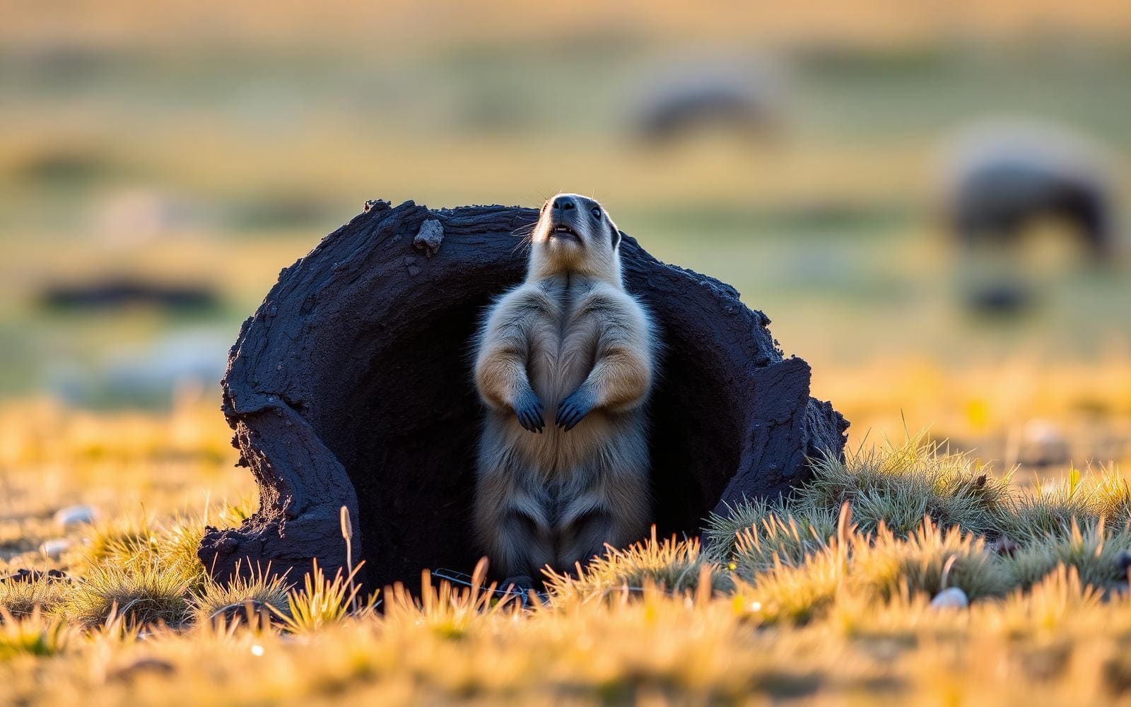
Animals around Altai Tavan Bogd National Park

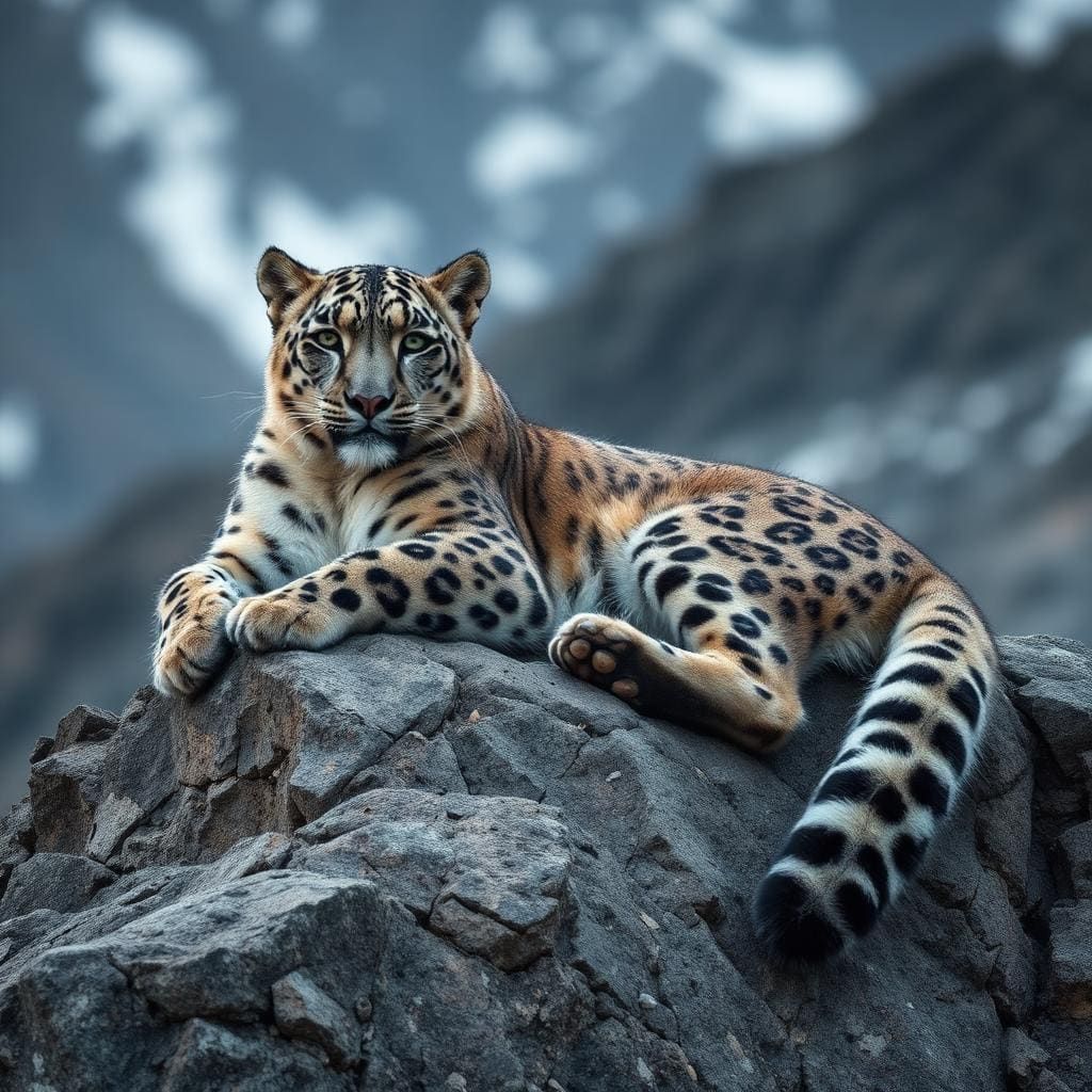
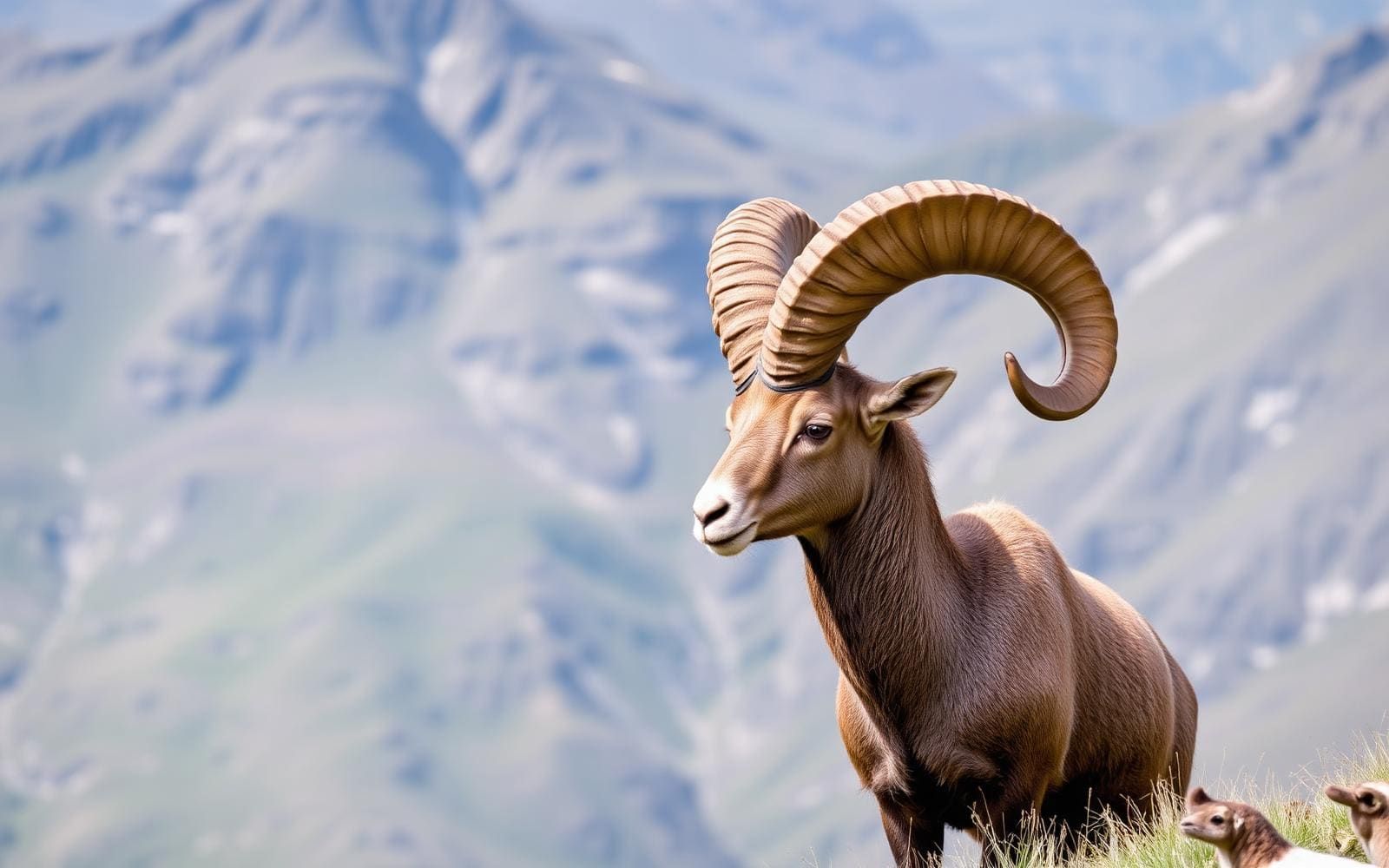
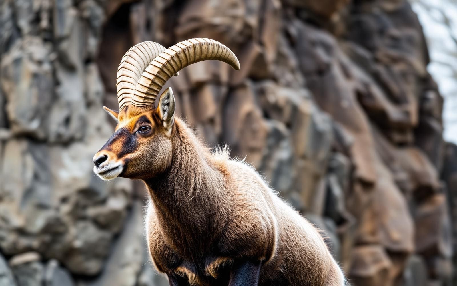
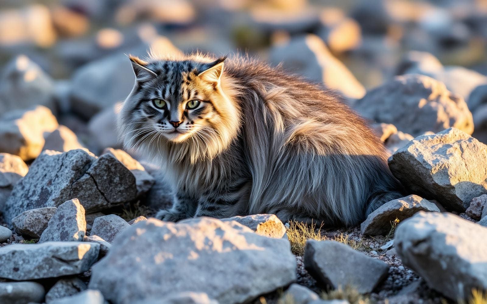

A mountain destination at three borders
Altai Tavan Bogd National Park is a destination in Bayan-Ölgii, western Mongolia, centered on the mountain country of the Tavan Bogd massif. The massif’s name means “Five Saints,” and its five named peaks are Khüiten, Nairamdal, Malchin, Bürged, and Ölgii. Khüiten reaches 4,374 meters and is Mongolia’s highest point. The geography matters when planning a visit: most of the massif lies in Mongolia’s Bayan-Ölgii Province, but its northern slopes extend into Russia’s Altai Republic and its western slopes into China’s Burqin County. Treat those international boundaries as a planning constraint, not as lines that a mountain itinerary can casually cross. A useful starting point is to distinguish the wider massif from the particular Mongolian-side destination being considered, then establish the actual approach before committing to a route.
Choosing a mountain objective
The five peaks give the area a clear geographic focus, but a list of summits is not a route description. Khüiten’s elevation makes altitude an important consideration, and its status as Mongolia’s highest mountain should not be confused with straightforward access. Nairamdal, Malchin, Bürged, and Ölgii are separate named peaks within the same massif; their names alone say nothing about the difficulty or equipment needed to reach them. Decide whether the trip is primarily about experiencing the mountain landscape or attempting a specific summit. Before selecting the latter, establish the approach, terrain, current conditions, and skills required with someone who knows the area. Keep the itinerary flexible enough to turn back rather than treating a named summit as an obligation.
The wider western Mongolian setting
Bayan-Ölgii belongs to western Mongolia, a remote region that also includes Hovd, Uvs, and Zavkhan. The wider landscape includes the Altai Mountain Range, lakes, rivers, forests, and steppe, but those regional features should not all be assumed to lie along a park itinerary. Western Mongolia is also ethnically diverse, with Kazakh, Oirat, and Khalkh communities. Its history is reflected in archaeological remains across the region, including petroglyphs, cave paintings, and standing stone monuments. Allow cultural stops to be destinations in their own right rather than assuming they will appear beside a mountain approach. For the outdoor portion, remoteness argues for self-sufficient packing, a clear transport plan, and realistic arrangements for communication and assistance. Confirm access requirements with the managing agency before departure.
Route options
- Khüiten Peak objective
A potential summit objective on Mongolia’s highest peak, at 4,374 meters. This is an objective rather than a described trail: establish the approach, technical requirements, and current conditions before considering an attempt.
- Malchin Peak objective
One of the five named peaks of the Tavan Bogd massif. Consider it only after obtaining a specific route description and confirming access and terrain; no assumption of an easier ascent is warranted.
Sample itineraries
- Tavan Bogd mountain overview · 2 days
Use this as a two-day outline, not a timed route. Focus on the Mongolian side of the Tavan Bogd massif in Bayan-Ölgii, with locally arranged mountain viewing and walking suited to conditions. Keep summit climbing outside this short plan and confirm approach travel separately.
- Mountain landscape and regional context · 3 days
Allow two days for locally planned outings around Tavan Bogd and one flexible day for travel or learning about Bayan-Ölgii’s Kazakh heritage. Confirm suitable stops locally. This outline does not establish trail access, driving times, or enough time for a summit attempt.
Seasonal conditions
Spring
Confirm suitable spring travel dates locally.
Plan around current mountain weather and ground conditions rather than a fixed opening date. The massif reaches 4,374 meters; conditions at lower elevations should not determine plans higher up.
Summer
Confirm summer access before arranging outings.
Do not treat summer as a guarantee of easy mountain travel. Choose walking objectives for the actual conditions and carry protection against cold, wind, and precipitation.
Fall
Confirm fall conditions close to departure.
Keep the schedule flexible in this remote mountain setting. Check the forecast and local access advice before committing to higher terrain or a tightly timed return.
Winter
Arrange winter plans around locally confirmed conditions.
Treat winter mountain travel as a specialist undertaking. Confirm whether the proposed outing is appropriate for the conditions, available support, and the group’s equipment and experience.
| Season | Window | Conditions |
|---|---|---|
| Spring | Confirm suitable spring travel dates locally. | Plan around current mountain weather and ground conditions rather than a fixed opening date. The massif reaches 4,374 meters; conditions at lower elevations should not determine plans higher up. |
| Summer | Confirm summer access before arranging outings. | Do not treat summer as a guarantee of easy mountain travel. Choose walking objectives for the actual conditions and carry protection against cold, wind, and precipitation. |
| Fall | Confirm fall conditions close to departure. | Keep the schedule flexible in this remote mountain setting. Check the forecast and local access advice before committing to higher terrain or a tightly timed return. |
| Winter | Arrange winter plans around locally confirmed conditions. | Treat winter mountain travel as a specialist undertaking. Confirm whether the proposed outing is appropriate for the conditions, available support, and the group’s equipment and experience. |
Permits, fees & closures
Confirm current park entry requirements and any border-area permissions with the managing agency before travel.
Confirm current permits, fees, and closures with the managing agency before you go.
Hazards & regulations
- High elevation: Khüiten Peak reaches 4,374 meters. Allow for acclimatization and descend if altitude-related symptoms develop.
- Remoteness: western Mongolia is a remote region. Plan communications, transport, and emergency options before leaving established support.
- Mountain weather: carry protective layers and be prepared to shorten an outing when conditions deteriorate.
- Mountain terrain: distinguish a landscape-viewing trip from a summit objective, and match equipment and experience to the planned terrain.
What to pack for Altai Tavan Bogd National Park
- Insulating layers
- Windproof and waterproof outerwear
- Warm hat and gloves
- Footwear suited to the planned terrain
- Offline maps covering the planned outing
- Backup navigation tools
- First-aid kit
- Emergency shelter
- Communication equipment suited to remote travel
- Water containers and a treatment method
- Food plus a contingency supply
- Sun protection
- Headlamp and spare power
Altai Tavan Bogd National Park FAQ
- Where is Tavan Bogd?
- The massif lies mostly in Mongolia’s Bayan-Ölgii Province, near the meeting point of Mongolia, China, and Russia. Its northern slopes extend into Russia’s Altai Republic, and its western slopes into China’s Burqin County.
- What is the highest mountain?
- Khüiten Peak is Mongolia’s highest point at 4,374 meters above sea level.
- What are the five peaks of Tavan Bogd?
- The massif comprises Khüiten, Nairamdal, Malchin, Bürged, and Ölgii. Tavan Bogd is known as the Five Saints.
- Does a short visit need to include a summit?
- No. A visit can focus on the mountain landscape and locally selected walks. A summit attempt needs separate planning based on the chosen peak, current conditions, and the group’s skills.
- What cultural context matters for a visit?
- Western Mongolia is ethnically diverse and home to Kazakh, Oirat, and Khalkh communities. Make time to learn about local customs, and ask permission before photographing people or entering private spaces.
- Can the suggested itineraries be used as fixed travel schedules?
- No. They are planning outlines, not verified routes. Confirm access, approach travel, local support, and current conditions before booking a tightly scheduled visit.