



- Region
- Gandaki, Nepal
- Best season
- Spring, Summer
- Permits
- Confirm current permit requirements with t…
Plan with verified data
Annapurna Sanctuary trip tools
Tools for a trip here
Picked for how, when and where you're going. Free, no signup.
Photos of Annapurna Sanctuary
How to get there
Annapurna Sanctuary is in Gandaki, Nepal. Its center point is 28.5330, 83.8690. Use these links for live turn-by-turn directions from where you are, then confirm road, trailhead and access conditions with the managing agency before you leave.
- Annapurna region
The wider western Nepal setting for the Sanctuary Trek. A specific transport gateway or road-access trailhead is not established here.
- Annapurna Base Camp
The stated destination of the Annapurna Sanctuary Trek, not a confirmed vehicle-access point. Plan the walking approach separately.
Gandaki, Nepal · Season: Best: October - November, March - April
- Mountaineering
- Hiking
- Canoeing
- Fishing
- Hot Springs
The country
The Sanctuary is a high glacial basin nestled at 4,000 meters, circled tightly by the Annapurna range, creating a natural amphitheater. The only access is by trekking up the Modi Khola river gorge, ascending through bamboo jungles and rhododendron forests. It is considered a sacred valley by the local Gurung and Magar people.
Why enthusiasts come
Unlike the longer Annapurna Circuit or Everest Base Camp, the Sanctuary (Annapurna Base Camp) trek provides rapid access to extreme close-up views of 8,000-meter peaks. The tea house infrastructure means hikers carry light daypacks and sleep in beds. It provides a physically demanding yet logistically simple introduction to the high Himalayas.
Top experiences
Watching the sunrise over Annapurna I and Machapuchare (the Fishtail) from Annapurna Base Camp bathes the ring of peaks in golden light. Descending into the hot springs at Jhinu Danda offers massive recovery for exhausted muscles. Ascending Poon Hill early in the trek provides the classic panoramic preview of the entire Dhaulagiri and Annapurna massifs.
Planner-relevant notes
You must obtain both the ACAP (Annapurna Conservation Area Project) permit and a TIMS card before departing Pokhara or Kathmandu. Recent regulations strongly push the use of a registered guide, though independent trekking legality fluctuates; check current local laws. The gorge section between Dovan and Deurali is highly avalanche-prone in early spring.
Field notes
- No meat is allowed to be taken past the village of Chomrong, as the Sanctuary is a sacred Buddhist/Hindu site.
- If trekking in spring (March/April), the avalanche chutes above Deurali are active; cross them early in the morning before the sun hits the snow.
- Bring cash (Nepalese Rupees) for all teahouse transactions; Wi-Fi and solar charting cost extra.
- To combat Acute Mountain Sickness (AMS), sleep at Machapuchare Base Camp (3,700m) before pushing into Annapurna Base Camp.
Where on earth
Satellite imagery flying in from a world view to Annapurna Sanctuary, Gandaki, Nepal. Use the + / − buttons, or click the map to zoom with your scroll wheel; drag to pan and pinch to zoom on touch.
Coordinates
- Decimal degrees
- 28.5330, 83.8690
- Latitude (DMS)
- 28° 31′ 58.8″ N
- Longitude (DMS)
- 83° 52′ 8.4″ E
Coordinates are an access-point reference for Annapurna Sanctuary, not a route. Carry a paper map and confirm trailhead or put-in access with the managing agency before you go.
Topic summary
A high-altitude glacial basin completely ringed by some of the most colossal peaks in the Himalayas.
Key takeaways
- Region: Gandaki, Nepal
- Best season: Best: October - November, March - April
- Coordinates: 28.533, 83.869
Climate suitability
Best: October - November, March - April
Keep planning
Popular pursuits at Annapurna Sanctuary
- Hiking
Day miles on marked trail, with route notes and trail links below.
- Canoeing
Paddle routes, portages, and put-ins.
- Fishing
Resident gamefish, seasons, and the water that holds them.
- Hot Springs
Soakable water and the etiquette that keeps it open.
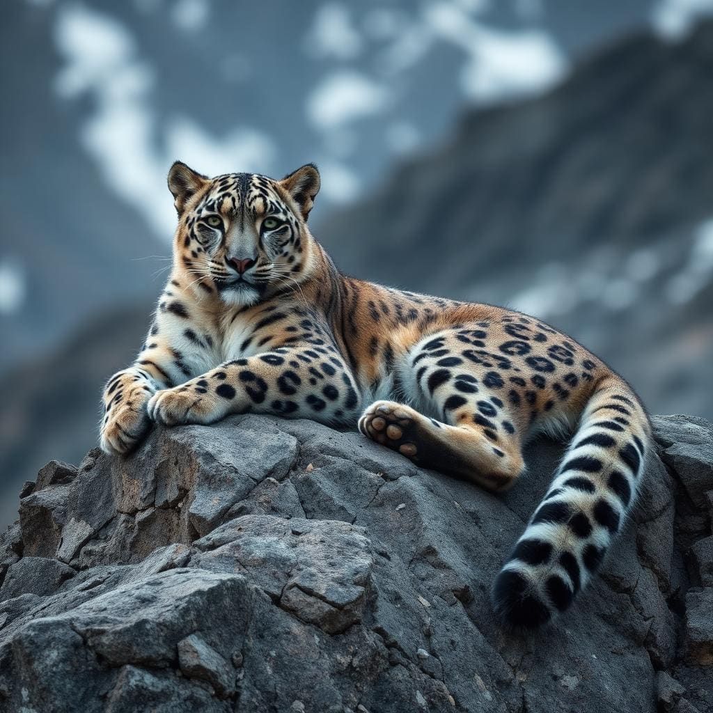
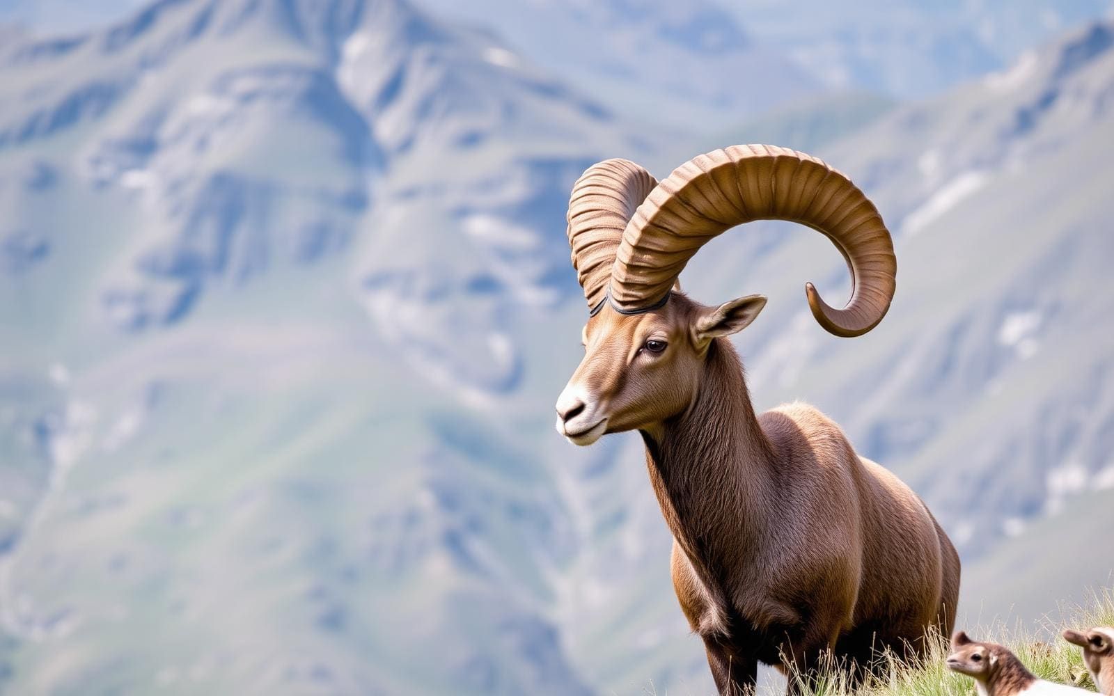
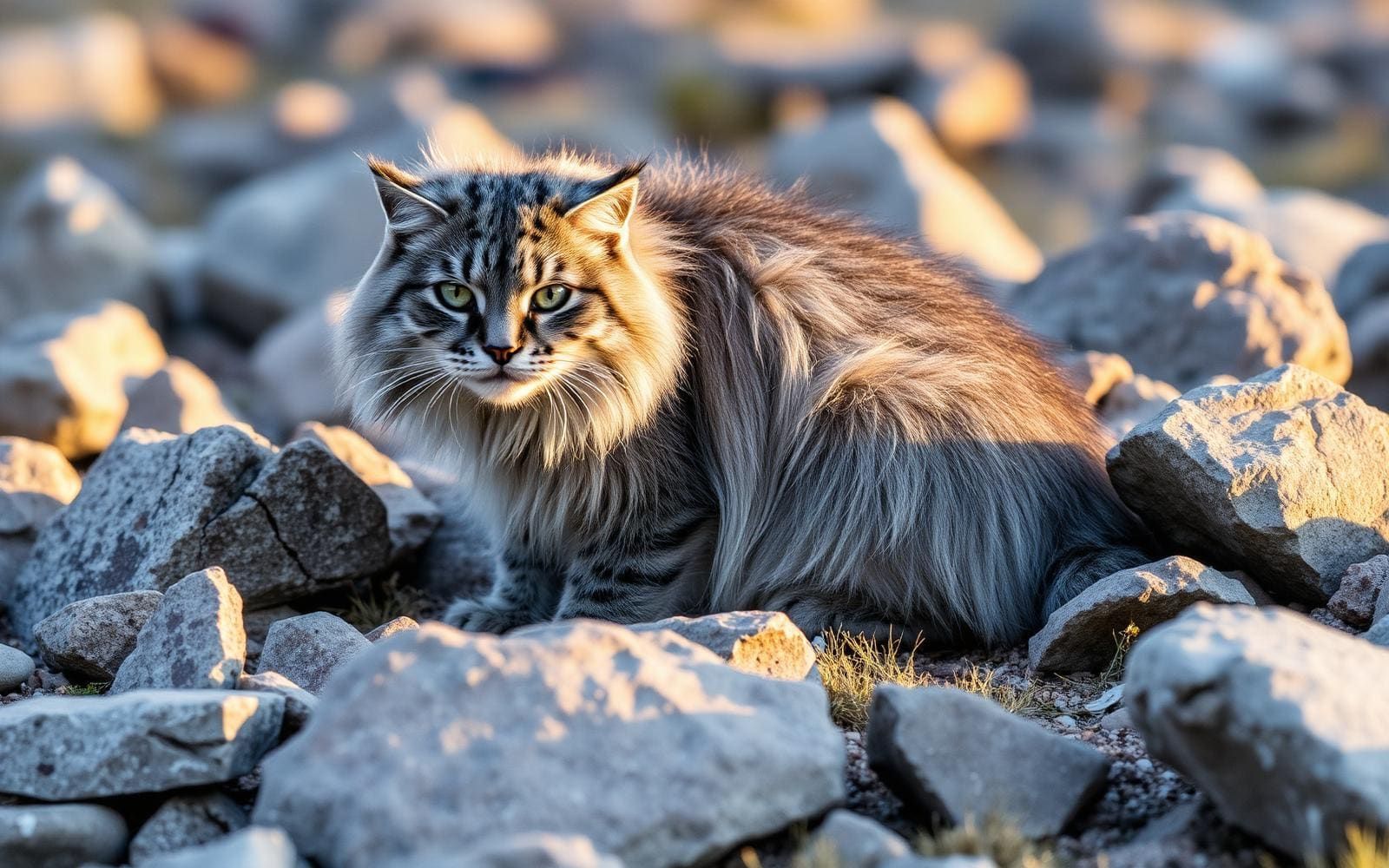
Animals around Annapurna Sanctuary

The Sanctuary and its setting
Annapurna Sanctuary is a trekking destination in the Annapurna region of western Nepal. The Annapurna Sanctuary Trek leads to Annapurna Base Camp, making the base camp the central objective for planning this trip. The surrounding region takes in the Annapurna Range, the Dhaulagiri Range and the Kali Gandaki River valley, but these should not be treated as interchangeable destinations. A trek to the Sanctuary is different from circling the Annapurna Range or following the Kali Gandaki valley. Start by choosing that specific objective rather than a general Annapurna itinerary. The Annapurna Conservation Area is also located in the region. For practical planning, distinguish the Sanctuary approach from the much broader collection of mountain routes described under the Annapurna name.
Mountain landscape and visibility
The wider Annapurna landscape includes Annapurna I at 8,091 metres, Nilgiri at 7,061 metres and Machhapuchchhre at 6,993 metres. Dhaulagiri I, at 8,167 metres, stands west of the Annapurnas. Most of these peaks can be seen throughout the region on clear days, although that does not establish a particular viewpoint or guarantee a view from any given stop. Weather and visibility deserve room in a mountain itinerary; do not make a single clear-sky day the measure of the whole trip. The regional landscape also extends beyond the Sanctuary: north of the main Himalayan ranges are arid Trans-Himalayan areas. Those northern landscapes belong to the broader Annapurna region and should not be assumed to describe the Sanctuary approach itself.
Choosing a trek and filling planning gaps
The main regional choices have distinct shapes: the Sanctuary Trek goes to Annapurna Base Camp, the Annapurna Circuit circles the Annapurna Range, and the Kali Gandaki River Valley trek follows the valley. There are also shorter trails in the region, but a specific shorter Sanctuary itinerary needs further checking before it becomes a workable plan. Select the destination first, then confirm the approach, transport connections, daily stages and current trail conditions. This profile does not establish a road-access trailhead, a walking distance or a difficulty grade for the Sanctuary. Avoid using details from the Circuit or the Kali Gandaki valley as substitutes. Confirm current entry requirements with the managing agency, and build a mountain packing and weather plan around the actual itinerary.
Route options
- Annapurna Sanctuary Trek
The destination-specific choice, leading to Annapurna Base Camp. Confirm the approach and daily stages before committing to an itinerary.
- Annapurna Circuit
A separate regional alternative that circles the Annapurna Range; it is not another name for the Sanctuary Trek.
- Kali Gandaki River Valley trek
A separate trek up the Kali Gandaki River valley, offering a different regional objective rather than an established Sanctuary approach.
Sample itineraries
- Annapurna Sanctuary walking day · 1 day
Use this as one walking day within a longer Annapurna Sanctuary Trek toward Annapurna Base Camp, not a complete trek itinerary. Choose the day's endpoint around fitness, acclimatization and conditions; confirm stages locally before setting out.
- Annapurna mountain-viewing day · 1 day
Allow a flexible day during your regional trek for mountain views when skies are clear. Annapurna I, Nilgiri, Machhapuchchhre and Dhaulagiri I are visible from parts of the region. Viewing opportunities depend on your position; this is not a separate mapped route.
Seasonal conditions
Spring
Spring; confirm conditions before departure
Plan for changing mountain weather and differences between lower trails and higher terrain. Check current conditions along the Sanctuary Trek rather than assuming the entire route has similar weather.
Summer
Summer; confirm conditions before departure
Check the local forecast and trail conditions before committing to daily stages. Do not apply descriptions of the arid Trans-Himalayan areas north of the main ranges to the Sanctuary route.
Fall
Fall; confirm conditions before departure
Clear days can reveal the region's major peaks, but keep mountain-viewing plans flexible. Carry layers and weather protection rather than treating clear morning skies as a full-day forecast.
Winter
Winter; confirm conditions before departure
Treat this as a mountain trek requiring cold-weather preparation. Confirm whether current weather and trail conditions suit your equipment and experience before proceeding toward Annapurna Base Camp.
| Season | Window | Conditions |
|---|---|---|
| Spring | Spring; confirm conditions before departure | Plan for changing mountain weather and differences between lower trails and higher terrain. Check current conditions along the Sanctuary Trek rather than assuming the entire route has similar weather. |
| Summer | Summer; confirm conditions before departure | Check the local forecast and trail conditions before committing to daily stages. Do not apply descriptions of the arid Trans-Himalayan areas north of the main ranges to the Sanctuary route. |
| Fall | Fall; confirm conditions before departure | Clear days can reveal the region's major peaks, but keep mountain-viewing plans flexible. Carry layers and weather protection rather than treating clear morning skies as a full-day forecast. |
| Winter | Winter; confirm conditions before departure | Treat this as a mountain trek requiring cold-weather preparation. Confirm whether current weather and trail conditions suit your equipment and experience before proceeding toward Annapurna Base Camp. |
Permits, fees & closures
Confirm current permit requirements with the agency managing the Annapurna Conservation Area.
Confirm current permits, fees, and closures with the managing agency before you go.
Hazards & regulations
- High-mountain travel requires attention to altitude and acclimatization. Avoid letting a fixed schedule dictate your ascent.
- Changing mountain weather can affect comfort, visibility and travel decisions. Reassess plans as conditions change.
- The Annapurna region contains several distinct treks. Confusing the Sanctuary Trek with the Circuit or Kali Gandaki River Valley trek can lead to unsuitable route planning.
What to pack for Annapurna Sanctuary
- Layered clothing for changing temperatures
- Insulating layer
- Weatherproof outer layer
- Warm hat and gloves
- Supportive walking footwear
- Comfortable trekking pack
- Water containers and a treatment method
- Food for the day's walking
- Route information specific to the Annapurna Sanctuary Trek
- Offline navigation with a backup
- First-aid supplies
- Sun protection
Annapurna Sanctuary FAQ
- Where does the Annapurna Sanctuary Trek lead?
- The trek leads to Annapurna Base Camp in the Annapurna region of western Nepal.
- Is the Sanctuary Trek the same as the Annapurna Circuit?
- No. The Annapurna Circuit circles the Annapurna Range. The Annapurna Sanctuary Trek heads to Annapurna Base Camp.
- Which mountains might be visible?
- Major regional peaks include Annapurna I at 8,091 m, Nilgiri at 7,061 m and Machhapuchchhre at 6,993 m. Dhaulagiri I, just west of the Annapurnas, reaches 8,167 m. Views depend on location and clear weather.
- Is the Sanctuary the same destination as the Kali Gandaki valley?
- No. The Kali Gandaki River Valley trek is a separate regional trek. Select route information specifically for the Sanctuary if Annapurna Base Camp is your objective.
- Can the Sanctuary Trek be completed using the one-day plans above?
- Those plans are individual activity days, not complete Sanctuary itineraries. Establish a full schedule with suitable daily stages and acclimatization before departure.
- Is the whole Annapurna region arid?
- No single description fits the whole region. The arid Trans-Himalayan areas lie north of the main Himalayan ranges; their conditions should not be assumed to describe the Sanctuary Trek.