



Annapurna Circuit
The classic Nepalese long trek — jungle to high pass, four ethnic regions in a single walk.
Where on earth
Satellite imagery flying in from a world view to Annapurna Circuit, Worldwide. Use the + / − buttons, or click the map to zoom with your scroll wheel; drag to pan and pinch to zoom on touch.
- Region
- Nepal
- Country
- Worldwide
- Biome
- Himalayan (760–5,416 m)
- Best season
- October – November, March – April
- Difficulty
- moderate
- Backpacking
- Hiking
- Climbing
- Mountaineering
- Desert Hiking
- Canyoneering
- Wildlife Viewing
- Canoeing
Key takeaways
- Biome: Himalayan (760–5,416 m)
- Best season: October – November, March – April
- Difficulty: moderate
- Top activity: backpacking
Topic summary
The classic Nepalese long trek — jungle to high pass, four ethnic regions in a single walk.
Key takeaways
- Difficulty: moderate
- Best season: October – November, March – April
Intended uses
backpacking
Climate suitability
Himalayan (760–5,416 m)
Verification notes
Last verified January 1, 1970.
Plan with verified data
Annapurna Circuit trip tools
Popular pursuits at Annapurna Circuit
- Backpacking
Multi-day travel with everything on your back — see the packing blocks below.
- Hiking
Day miles on marked trail, with route notes and trail links below.
- Climbing
Rock and alpine lines with approach beta.
- Mountaineering
Glacier and high-route objectives with real consequence.
- Desert Hiking
Water carries and heat management drive the plan.
- Canyoneering
Narrows, downclimbs, and flash-flood timing.
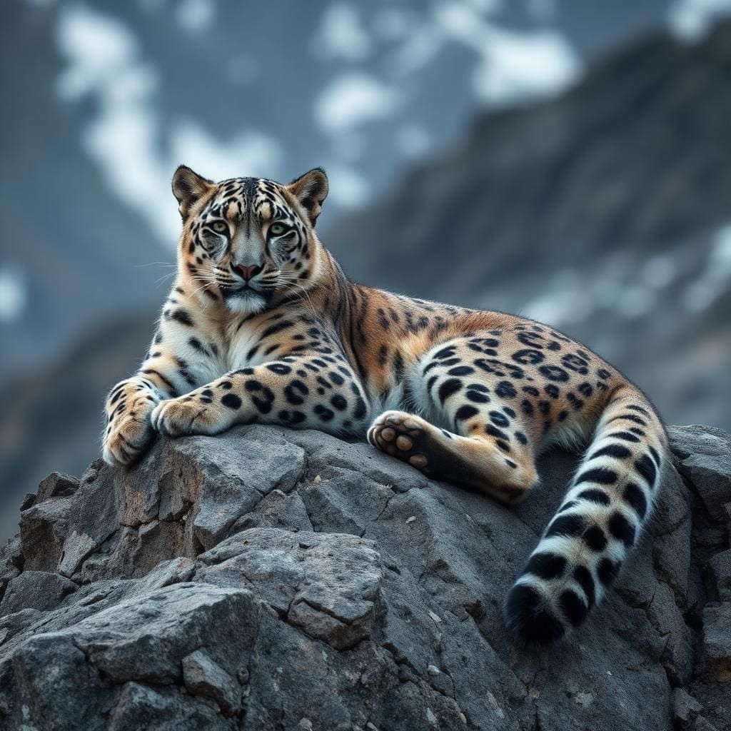
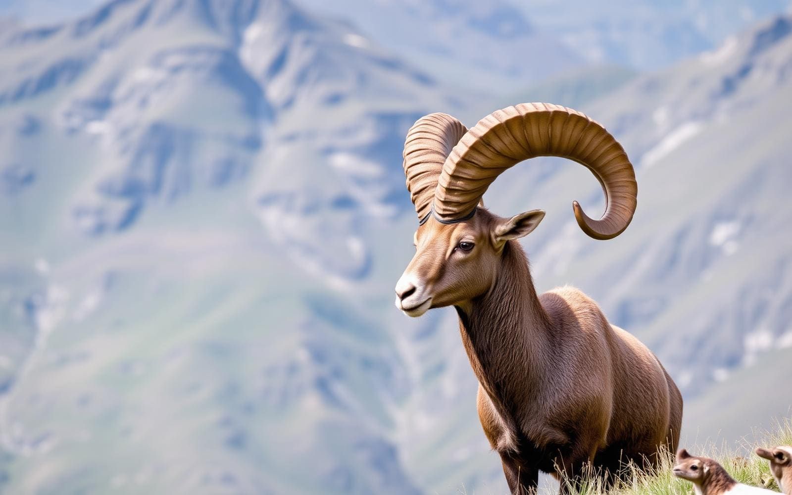
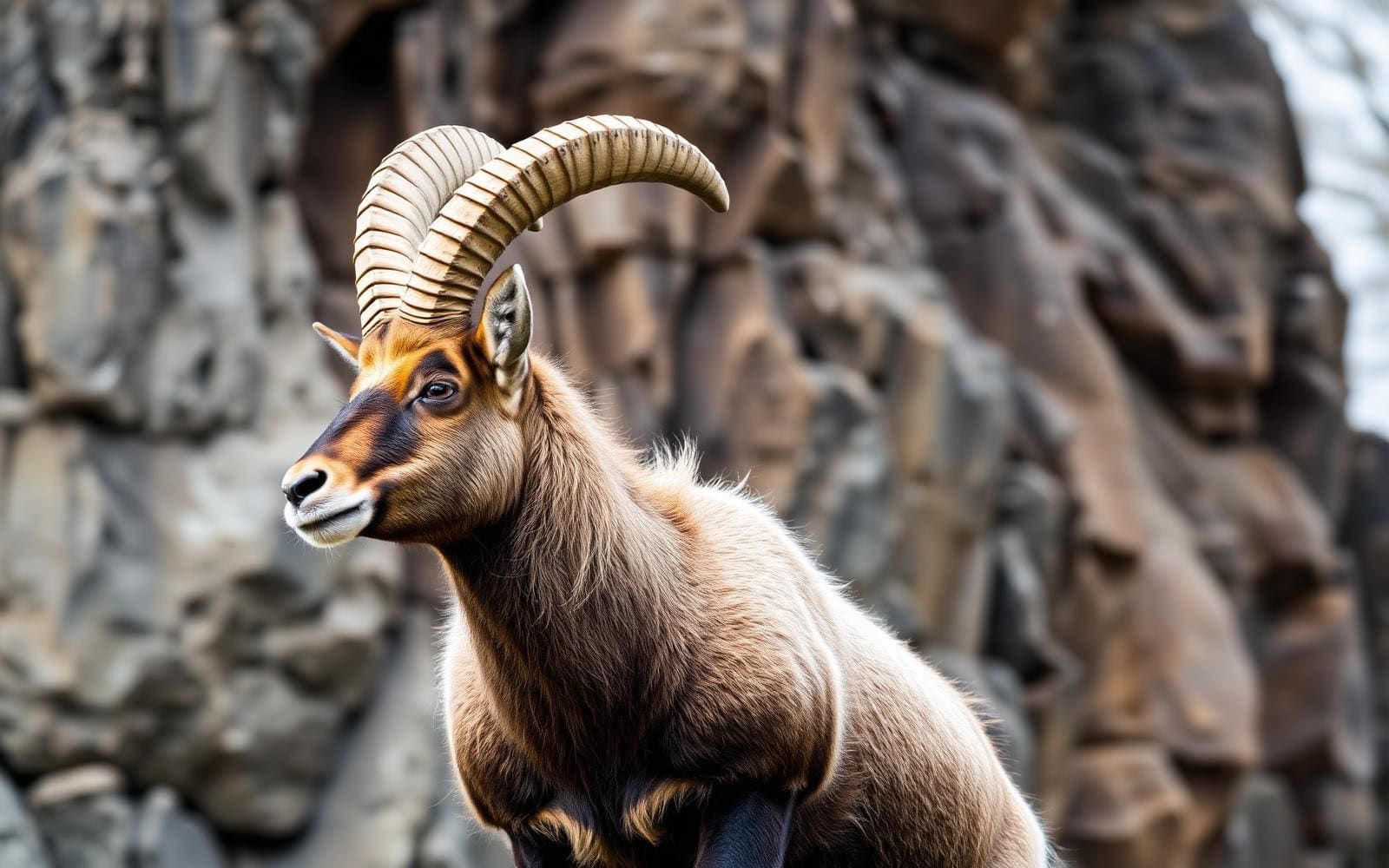
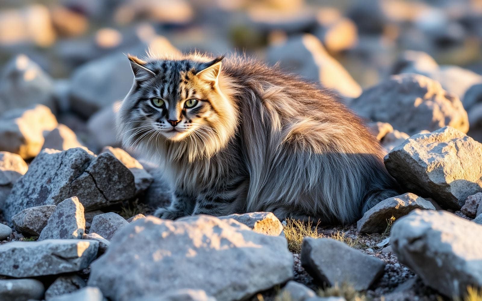
Animals around Annapurna Circuit
The Annapurna Circuit: A Himalayan Epic
The Annapurna Circuit is a renowned trek traversing the central mountain ranges of Nepal, encircling the Annapurna Massif. This route offers a diverse journey through varied landscapes, from tropical foothills to Arctic-like conditions at its highest point, Thorong La pass. The path crosses two distinct river valleys and showcases spectacular views of peaks including Annapurna I-IV, Dhaulagiri, Machhapuchhre, Manaslu, Gangapurna, Tilicho Peak, Pisang Peak, and Paungda Danda, with many other 6000-8000m peaks visible. The trek was historically celebrated for combining a wide array of climate zones and cultural experiences, from Hindu villages in the low foothills to the Tibetan culture of Manang Valley and lower Mustang.
Route Overview and Terrain
The total length of the Annapurna Circuit varies, depending on where motor transportation is used and the trek's endpoint. Trekkers commonly start in the Marshyangdi river valley, at Besisahar or Bhulbhule, and conclude in the Kali Gandaki Gorge. The trail typically follows an anticlockwise direction, which allows for a more gradual altitude gain and facilitates a safer crossing of the high Thorong La pass. The journey leads through paddy fields and subtropical forests, past waterfalls, towering cliffs, and numerous villages. Recent road construction, particularly the Besisahar-Manang road, has shortened portions of the traditional trekking trail and influenced the character of some villages.
Cultural and Ecological Diversity
The Annapurna Circuit is situated within the Annapurna Conservation Area, offering a rich tapestry of ecological zones and cultural encounters. Starting in the low foothills, trekkers pass through regions influenced by Hindu culture, gradually transitioning to areas with strong Tibetan cultural characteristics, especially in the Manang Valley and lower Mustang, which are part of the Trans-Himalayan arid regions north of the main Himalayan Ranges. The trek's diverse environment and cultural interactions contribute to its reputation as a world-class long-distance trek, despite changes brought by infrastructure development.
Accessibility and Changing Trails
Starting points like Besisahar are accessible by road from Kathmandu, with a typical drive taking about seven hours. While motor transportation has altered parts of the traditional route, it has also introduced new ways to experience the region. Mountain biking, for instance, is gaining popularity, particularly in Mustang, where roads now intersect with trekking trails. Trekkers should be aware that the continuing construction of roads has modified the trail experience and the character of the villages along the route, impacting how the trek is planned and undertaken.
Getting to Annapurna Circuit
Access to the Annapurna Circuit commonly begins at Besisahar or Bhulbhule. Besisahar can be reached by a drive from Kathmandu, which typically takes seven hours.
- BesisaharSeven hours from Kathmandu
A common starting point for the Annapurna Circuit, located in the Marshyangdi river valley.
- Bhulbhule
Another common starting point for the Annapurna Circuit, also situated in the Marshyangdi river valley.
Route options
- Annapurna Circuit
This trek encircles the Annapurna Massif, traversing two river valleys and reaching its highest point at Thorung La pass (5416m/17769 ft). Most trekkers hike anticlockwise for safer altitude gain and pass crossing. The route ranges from 160 to 230 km, depending on motor transportation use. Road construction has shortened portions of the trail.
Seasonal conditions
| Season | Window | Conditions |
|---|---|---|
| Spring | ||
| Summer | ||
| Fall | ||
| Winter |
Permits, fees & closures
Confirm permit requirements and regulations with the managing agency prior to your trip.
Confirm current permits, fees, and closures with the managing agency before you go.