



- Region
- Graham Land, Antarctica
- Best season
- Spring, Summer
- Permits
- Confirm applicable permit requirements wit…
Plan with verified data
Antarctic Peninsula trip tools
Tools for a trip here
Picked for how, when and where you're going. Free, no signup.
Photos of Antarctic Peninsula
How to get there
Small ships carrying paying visitors travel from South America to Graham Land. The Antarctic Peninsula's tip is about 1,600 km from the South American mainland; this is geographic separation, not a voyage distance. Confirm the specific departure port and transport arrangements with the operator.
- South America
Broad departure region for small-ship visitor trips to Graham Land. A specific embarkation port must be confirmed with the operator.
- Graham Land
Northern portion of the Antarctic Peninsula and the usual destination for small-ship trips from South America. This is an arrival region, not a specific landing site.
Sources: gov.uk · Wikipedia · Wikivoyage. Confirm road and trailhead conditions with the managing agency before you leave.
Graham Land, Antarctica · Season: Best: December - February
- Canoeing
- Kayaking
- Climbing
- Mountaineering
- Winter Camping
- Skiing
- Sea Kayaking
- Beachcombing
The country
The Antarctic Peninsula extends north toward South America, serving as the most accessible part of the continent. It is an alien landscape of towering blue glaciers, sheer granite peaks, and choked waterways filled with sea ice. Wildlife is incredibly concentrated on the rocky coastal margins where penguins, seals, and seabirds breed during the brief summer.
Why enthusiasts come
Beyond standard cruise ship zodiac tours, specialized expeditions allow multi-day sea kayaking and shoreside ski mountaineering. It provides an unmatched opportunity to paddle silently through brash ice alongside surfacing humpback whales. Camping on the ice offers the eerie silence of an uninhabited continent, broken only by glacial calving.
Top experiences
Sea kayaking the Lemaire Channel (the 'Kodak Gap') places paddlers between towering 1,000-meter cliffs reflecting in glassy, iceberg-strewn waters. Camping overnight in a snow trench on the shore via a specialized operator allows trekkers to sleep under the midnight sun. Hiking up a rocky promontory provides oversight of massive gentoo and chinstrap penguin rookeries.
Planner-relevant notes
All access is strictly regulated by the Antarctic Treaty; you cannot arrive independently and must use IAATO-approved expedition vessels. If you choose an optional camping or kayaking add-on, it must be booked heavily in advance as spots per vessel are strictly limited. Ashore, strict biosecurity prevents any food or organic waste from touching the ground.
Field notes
- Layering is everything, primarily centered around a highly robust Gore-Tex outer shell to repel freezing saltwater spray.
- When walking ashore, you must yield to all wildlife; always stay at least 5 meters away from penguins.
- Sunglasses with severe UV protection are mandatory to prevent snow blindness from the intense glacial glare.
- Photography requires massive battery backups, as cold drains lithium-ion batteries rapidly.
Where on earth
Satellite imagery flying in from a world view to Antarctic Peninsula, Graham Land, Antarctica. Use the + / − buttons, or click the map to zoom with your scroll wheel; drag to pan and pinch to zoom on touch.
Coordinates
- Decimal degrees
- -65.0000, -64.0000
- Latitude (DMS)
- 65° 0′ 0.0″ S
- Longitude (DMS)
- 64° 0′ 0.0″ W
Coordinates are an access-point reference for Antarctic Peninsula, not a route. Carry a paper map and confirm trailhead or put-in access with the managing agency before you go.
Topic summary
Sea kayaking and glacier camping among immense tabular icebergs on the shores of the White Continent.
Key takeaways
- Region: Graham Land, Antarctica
- Best season: Best: December - February
- Coordinates: -65.000, -64.000
Climate suitability
Best: December - February
Keep planning
Popular pursuits at Antarctic Peninsula
- Canoeing
Paddle routes, portages, and put-ins.
- Kayaking
Sheltered and open-water paddling lines.
- Climbing
Rock and alpine lines with approach beta.
- Mountaineering
Glacier and high-route objectives with real consequence.
- Winter Camping
Cold-season travel and camp craft; layering matters more than mileage.
- Skiing
Ski-touring access when the road closes for the season.
Animals around Antarctic Peninsula
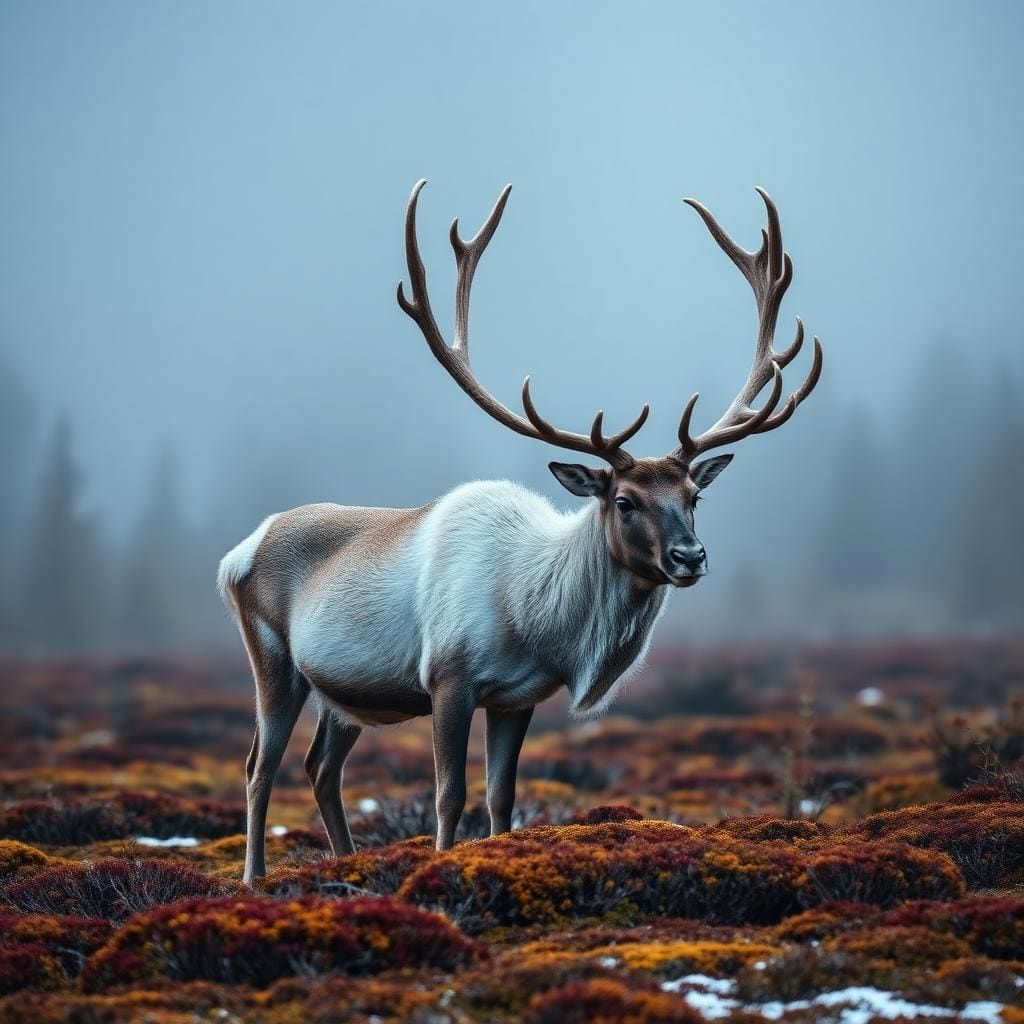 Wildlife guideWoodland caribouRangifer tarandus caribou
 Wildlife guideCougarPuma concolor
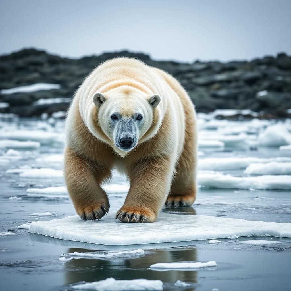 Wildlife guidePolar bearUrsus maritimus
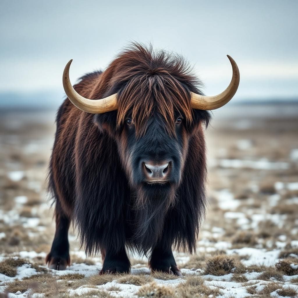 Wildlife guideMuskoxOvibos moschatus
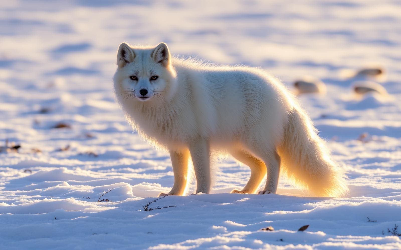 Wildlife guideArctic foxVulpes lagopus
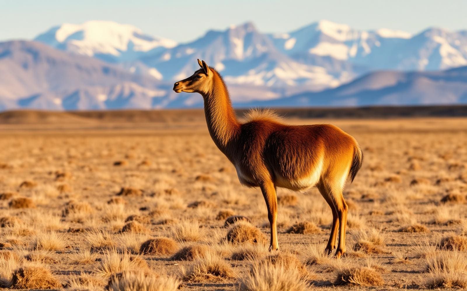 Wildlife guideGuanacoLama guanicoe
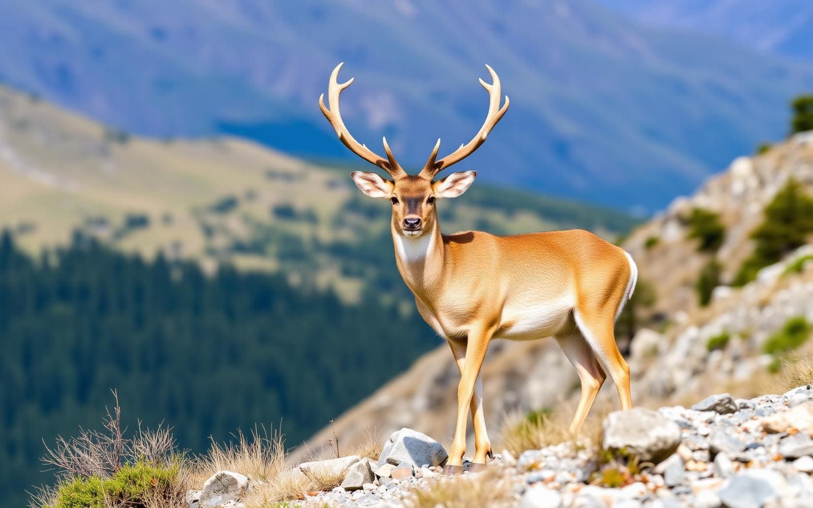 Wildlife guideHuemulHippocamelus bisulcus
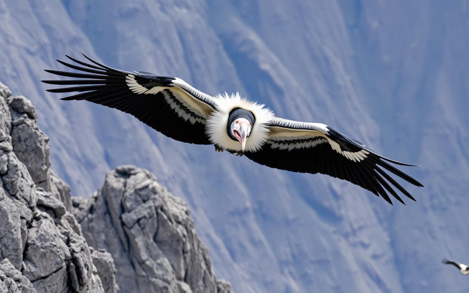 Wildlife guideAndean condorVultur gryphus
The peninsula and Graham Land
The Antarctic Peninsula is the long, mountainous arm of Antarctica extending north toward South America. Graham Land forms its northern portion, north of the line joining Cape Jeremy and Cape Agassiz; Palmer Land is the southern portion. For trip planning, that distinction matters: a journey to Graham Land visits part of the peninsula, not its full length. The dividing line lies roughly at 69 degrees south. Mountains define the region and form the southern end of the American Cordillera, the mountain system running through the Americas. Think of this destination at a regional scale rather than as a single landing or walking route. A useful itinerary should identify where within Graham Land it intends to travel, rather than relying on the broad label “Antarctic Peninsula.”
A ship-based destination
Graham Land is the closest part of Antarctica to South America and the usual destination for small ships carrying paying visitors from that continent. The peninsula is also the most accessible and most visited part of the Antarctic mainland. Those are relative descriptions, not indications of an easy journey: the peninsula's tip is still about 1,600 km from the South American mainland. Ship choice deserves attention early in planning. Small-ship travel and a larger-ship voyage should not be treated as interchangeable experiences, particularly if going ashore is important. Ask the operator to distinguish time aboard from intended shore visits and to explain what its particular voyage offers. Choose around that distinction rather than assuming every peninsula itinerary provides the same kind of access.
Planning within the limits of a regional itinerary
Plan for a mountainous Antarctic destination reached by sea, rather than a conventional network of roadside trailheads. Warm layers and protection from wind and wet conditions are sensible starting points; the operator should provide a packing list suited to its activities. Before committing, request the actual embarkation point, intended destinations, shore arrangements and physical requirements. A regional description alone cannot establish walking distances, landing conditions or a route's difficulty. Confirm applicable permit requirements with the relevant authority and the expedition operator. The UK Foreign, Commonwealth & Development Office publishes guidance on visiting Antarctica, including permit applications and other travel rules. Graham Land is claimed by Argentina, Britain and Chile, so a single country label is not a useful substitute for checking the requirements applicable to a particular expedition.
Route options
- Small-ship trip from South America to Graham Land
The usual visitor approach to this northern portion of the Antarctic Peninsula. Obtain a voyage-specific itinerary and confirm intended shore visits rather than treating the regional destination as a fixed route.
- Larger-ship Antarctic Peninsula voyage
A ship-based alternative to small-ship travel. If going ashore is a priority, confirm passenger-disembarkation arrangements before booking; do not assume the experience matches a small-ship trip.
Sample itineraries
- Graham Land coastal observation · 1 day
A suggested onboard day within a longer Antarctic voyage, not a complete trip from South America. Focus on Graham Land's mountainous coast and its position as the northern Antarctic Peninsula. Leave the sailing route and any shore activity to the operator's confirmed plan.
- The peninsula's mountain connection · 1 day
A suggested scenic observation day within an existing voyage. Study the peninsula's mountain landscape, part of the American Cordillera that continues south from the Americas. Treat this as a ship-based learning theme, not a hiking route or a promise of particular viewpoints.
Seasonal conditions
Spring
Austral spring
Plan conservatively for Antarctic cold. Confirm sailing availability and expected conditions with the operator rather than assuming that the peninsula's relative accessibility guarantees access.
Summer
Austral summer
The peninsula remains an Antarctic, mountainous destination. Carry insulating layers and weather protection; confirm the voyage's actual operating conditions and shore plans.
Fall
Austral fall
Do not assume that visitor voyages operate throughout the season. Check the operator's schedule and prepare for cold conditions during outdoor observation.
Winter
Austral winter
Do not infer winter visitor access from the peninsula's status as Antarctica's most accessible mainland region. Confirm whether a suitable voyage operates before making travel commitments.
| Season | Window | Conditions |
|---|---|---|
| Spring | Austral spring | Plan conservatively for Antarctic cold. Confirm sailing availability and expected conditions with the operator rather than assuming that the peninsula's relative accessibility guarantees access. |
| Summer | Austral summer | The peninsula remains an Antarctic, mountainous destination. Carry insulating layers and weather protection; confirm the voyage's actual operating conditions and shore plans. |
| Fall | Austral fall | Do not assume that visitor voyages operate throughout the season. Check the operator's schedule and prepare for cold conditions during outdoor observation. |
| Winter | Austral winter | Do not infer winter visitor access from the peninsula's status as Antarctica's most accessible mainland region. Confirm whether a suitable voyage operates before making travel commitments. |
Permits, fees & closures
Confirm applicable permit requirements with the relevant managing authority; consult the Foreign, Commonwealth & Development Office for UK Antarctic travel guidance.
Official source: Visiting Antarctica - GOV.UK · Verified October 2, 2026
Hazards & regulations
- Mountainous terrain: a scenic coastline is not evidence of a suitable walking route. Undertake shore activity only within the operator's confirmed plan.
- Remote Antarctic setting: relative proximity to South America does not make this an independent mainland excursion. Keep travel arrangements coordinated with the voyage operator.
- Cold exposure during outdoor observation: use insulating layers and weather protection, and return indoors before becoming chilled.
What to pack for Antarctic Peninsula
- Insulating layers
- Weatherproof outer layer
- Warm hat
- Gloves
- Binoculars
- Camera
- Protective bag for equipment
- Operator's packing checklist
- Confirmed voyage plan
- Applicable travel and permit documentation
Antarctic Peninsula FAQ
- Where is Graham Land within the Antarctic Peninsula?
- Graham Land is the northern portion, north of the line joining Cape Jeremy and Cape Agassiz. Palmer Land is the southern portion.
- How do visitors generally reach Graham Land?
- Small ships carry paying visitors from South America. Graham Land is the part of Antarctica closest to South America and a usual destination for these voyages.
- Does booking a ship guarantee a mainland landing?
- No landing should be assumed. Larger ships do not disembark passengers; ask the operator whether the specific voyage includes shore activity and what arrangements apply.
- What defines the landscape?
- The Antarctic Peninsula is long and mountainous. Graham Land's mountains form the southern end of the American Cordillera, the mountain system running along the western Americas.
- Are these one-day itineraries complete Antarctic trips?
- No. They are suggested onboard themes within a longer voyage. They do not specify a departure port, sailing duration, landing site or independently navigable route.