



- Region
- Faroe Islands, Kingdom of Denmark
- Best season
- Spring, Summer
- Permits
- Confirm access rules and any permit requir…
Plan with verified data
Faroe Islands trip tools
Tools for a trip here
Picked for how, when and where you're going. Free, no signup.
Photos of Faroe Islands
How to get there
The Faroe Islands lie in the North Atlantic. Confirm arrival arrangements and onward travel for the particular islands on the itinerary before booking; no specific arrival gateway or inter-island connection is established here.
- Faroe Islands — archipelago access
Plan arrival and onward access around the intended islands. This is an archipelago-wide planning entry, not a named port, airport or trailhead.
- Faroe Islands — countryside access
Confirm the local starting point and access arrangements before entering the steep mountain countryside. No specific trailhead is identified here.
Sources: Wikipedia · Wikivoyage. Confirm road and trailhead conditions with the managing agency before you leave.
Faroe Islands, Kingdom of Denmark · Season: Best: May – Sep
- Hiking
- Winter Camping
- Wildlife Viewing
- Safari
The country
A self-governing part of Denmark halfway between Iceland and Scotland. Steep basalt columns, endless sheep pasture, and villages tucked into valley heads. Weather flips within an hour, always.
Why enthusiasts come
Some of the most photogenic sea cliffs on Earth. Ferry-plus-hike day loops open the archipelago; camping is restricted to a handful of official sites.
Planner-relevant notes
Most hiking is on public but privately owned land — pay guides at trailheads when posted. Cliff edges are undercut in places; stay well back.
Field notes
- Mykines puffin colonies are seasonally closed for nesting.
- Fog can drop visibility to 20 m on ridges — carry a compass and phone GPS backup.
- Local ferries are the roads — check schedules the night before.
Where on earth
Satellite imagery flying in from a world view to Faroe Islands, Faroe Islands, Kingdom of Denmark. Use the + / − buttons, or click the map to zoom with your scroll wheel; drag to pan and pinch to zoom on touch.
Coordinates
- Decimal degrees
- 62.0000, -6.7900
- Latitude (DMS)
- 62° 0′ 0.0″ N
- Longitude (DMS)
- 6° 47′ 24.0″ W
Coordinates are an access-point reference for Faroe Islands, not a route. Carry a paper map and confirm trailhead or put-in access with the managing agency before you go.
Topic summary
18 basalt islands rising sheer from the North Atlantic — sea cliffs, sheep, and mist.
Key takeaways
- Region: Faroe Islands, Kingdom of Denmark
- Best season: Best: May – Sep
- Coordinates: 62.000, -6.790
Climate suitability
Best: May – Sep
Keep planning
Popular pursuits at Faroe Islands
- Hiking
Day miles on marked trail, with route notes and trail links below.
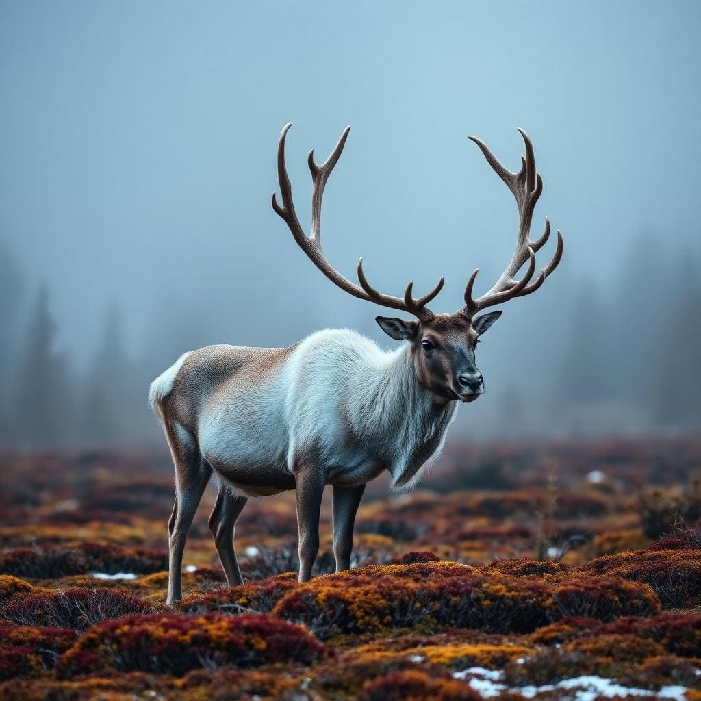
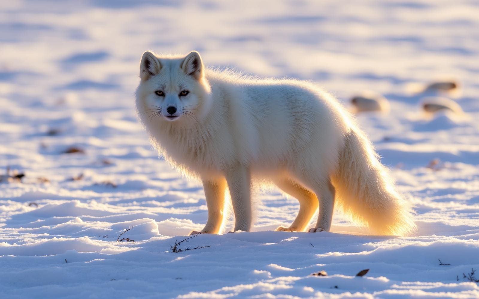
Animals around Faroe Islands





A compact North Atlantic archipelago
The Faroe Islands are an archipelago of 18 islands in the North Atlantic and an autonomous territory of Denmark. Steep mountains dominate a green, rugged landscape, and nowhere on the islands is more than 5 km from the ocean. That close relationship between mountain terrain and open water is the defining consideration for an outdoor visit: coastal exposure is part of the setting, not something confined to a seaside outing. Plan days around the terrain and conditions rather than treating short map distances as evidence of easy travel. The islands suit a trip focused on mountain scenery, the ocean and birdlife, but choosing a particular walk requires more detailed access and route information before setting out.
Wind, steep ground and flexible plans
The Faroese countryside is wind-swept and steep, so protection from exposure and secure footing deserve attention even for a modest outing. Carry windproof and waterproof layers, wear footwear suited to uneven ground, and leave room to shorten a day if conditions become uncomfortable. Most visitors arrive between early July and late August; that describes the main visitor period, rather than a guarantee of suitable walking weather. Choose objectives to match the conditions on the day and the ability of the whole group. For mountain outings in particular, establish the route and return plan before leaving. The combination of steep terrain and constant proximity to the North Atlantic makes flexibility more useful than a tightly packed list of outdoor stops.
Birdlife, sheep and an inhabited landscape
The islands support roughly two million pairs of seabirds, including the world's largest colony of storm petrels. Sheep are also a prominent part of the countryside, with about 70,000 across the archipelago. Give birds and livestock space, observe without disturbing them, and avoid assuming that an open-looking slope is an established walking route. This is also an inhabited landscape, with roughly 54,000 residents recorded in 2022, rather than an outdoor setting separate from everyday life. Faroese is spoken throughout the islands as a first language. Allow time for local guidance about the places being visited, particularly when deciding where to walk or watch birds. Confirm access arrangements with the managing agency before committing to a specific outdoor objective.
Route options
- Faroe Islands — mountain outing
An outing type rather than a verified route: focus on the islands' steep mountain landscape, selecting a locally confirmed walk suited to the group's ability and the day's conditions.
- Faroe Islands — ocean-focused outing
An outing type rather than a verified route: build a day around the islands' close relationship with the North Atlantic. Confirm a suitable location and access rather than assuming the shoreline is continuously walkable.
- Faroe Islands — seabird observation
An outing type rather than a verified route: make birdwatching the focus, with observation that avoids disturbing seabirds. Confirm an appropriate viewing location locally; no colony access route is specified.
Sample itineraries
- Faroe Islands coastal introduction · 2 days
Use this short stay for coastal scenery and views of the steep, green countryside. Keep the first day light, then choose an outing suited to the wind and terrain. Confirm local access before heading out; proximity to the ocean does not mean easy access to the shore.
- Mountains and seabirds · 3 days
Divide the trip between mountain scenery, coastal observation and a flexible weather day. Watch seabirds from a distance and give sheep space in the countryside. Choose specific outings only after checking local access and conditions; avoid committing every day to exposed terrain.
Seasonal conditions
Spring
Spring
Plan around wind-swept, steep terrain and constant proximity to the North Atlantic. Check current local forecasts rather than assuming mild conditions or dependable access.
Summer
Early July to late August
Most visitors come during this period. The islands remain exposed to the ocean and wind; visitor season is not a guarantee of comfortable conditions for mountain or coastal outings.
Fall
Fall
Keep outdoor plans flexible in this wind-swept archipelago. Check local weather and access before choosing an outing, especially where steep ground leaves little margin for error.
Winter
Winter
Make conservative plans for steep, ocean-exposed terrain. Confirm current conditions locally and carry protective layers; do not assume a particular route or service is available.
| Season | Window | Conditions |
|---|---|---|
| Spring | Spring | Plan around wind-swept, steep terrain and constant proximity to the North Atlantic. Check current local forecasts rather than assuming mild conditions or dependable access. |
| Summer | Early July to late August | Most visitors come during this period. The islands remain exposed to the ocean and wind; visitor season is not a guarantee of comfortable conditions for mountain or coastal outings. |
| Fall | Fall | Keep outdoor plans flexible in this wind-swept archipelago. Check local weather and access before choosing an outing, especially where steep ground leaves little margin for error. |
| Winter | Winter | Make conservative plans for steep, ocean-exposed terrain. Confirm current conditions locally and carry protective layers; do not assume a particular route or service is available. |
Permits, fees & closures
Confirm access rules and any permit requirements with the managing agency before setting out.
Confirm current permits, fees, and closures with the managing agency before you go.
Hazards & regulations
- Steep mountains demand careful footing and outings matched to fitness and experience.
- Wind exposure can affect balance and comfort on open terrain. Turn back if conditions make movement uncertain.
- The ocean is never more than 5 km away. Treat coastal exposure seriously and do not assume the shoreline is safely accessible.
- Sheep are widespread in the countryside. Give them room and avoid approaching or startling them.
What to pack for Faroe Islands
- Windproof and waterproof outer layers
- Insulating layers
- Warm hat and gloves
- Sturdy footwear with dependable grip
- Navigation tools appropriate to the chosen outing
- Drinking water and food
- Basic first-aid kit
- Binoculars for watching seabirds without approaching
- Protective storage for optics in exposed conditions
Faroe Islands FAQ
- Where are the Faroe Islands?
- The Faroe Islands are an archipelago of 18 islands in the North Atlantic Ocean. They are an autonomous territory of Denmark.
- What is the landscape like?
- The countryside is green, rugged and wind-swept, with steep mountains. Nowhere in the islands is more than 5 km from the ocean.
- When do most visitors travel?
- Most visitors arrive between early July and late August. Choose outdoor plans according to current conditions rather than relying on the popularity of the season.
- What language is spoken?
- Faroese is spoken throughout the islands as a first language. Danish is also a first language for some residents.
- Are the islands suitable for casual walking?
- Steep terrain and wind exposure mean not every outing will suit a casual walker. Confirm local access, choose terrain within your abilities and keep plans flexible.
- What wildlife might shape a visit?
- Seabirds are a major feature, including storm petrels. Bring binoculars and avoid disturbing birds. Expect sheep in the countryside and leave them room to move.