



- Region
- Nepal
- Best for
- backpacking, hiking, camping
- Best season
- Spring, Summer
- Permits
- Permits are required for trekking on the G…
Plan with verified data
Great Himalaya Trail (sections) trip tools
Tools for a trip here
Picked for how, when and where you're going. Free, no signup.
- Sleep System Temp CalculatorCold nights: check your bag and pad add up to a safe sleep.
- Base Weight CalculatorEvery ounce is carried — total your kit and find your base weight.
- Pack Volume SizerSize the pack for your trip length and season.
- Water Purification MatrixTreat water from streams and lakes on trail.
- Layering CalculatorCold-season miles: layer for climbs and camp.
How to get there
Accessing the Great Himalaya Trail typically involves flying into Kathmandu. From there, local transportation such as buses or domestic flights are used to reach various starting points along the trail sections. Domestic flights are subject to cancellations due to clouds or bad weather.
Sources: Wikipedia · mountainswithmegan.com. Confirm road and trailhead conditions with the managing agency before you leave.
Nepal · Nepal · Season: Summer through early fall
- Backpacking
- Hiking
Overview
The full route is expedition-scale; sections like Manaslu or Kanchenjunga are trip-of-a-lifetime treks.
Planning notes
Where: Nepal, Nepal Best season: Summer through early fall Good for: Backpacking, Hiking, Camping, Trekking Featured on: Top 10 Backpacking Trips (#9) Access point: Great Himalaya Trail, Nepal
Check current permits, closures and fire restrictions with the managing agency before you commit to dates.
Where on earth
Satellite imagery flying in from a world view to Great Himalaya Trail (sections), Nepal. Use the + / − buttons, or click the map to zoom with your scroll wheel; drag to pan and pinch to zoom on touch.
Coordinates
- Decimal degrees
- 28.5000, 84.5000
- Latitude (DMS)
- 28° 30′ 0.0″ N
- Longitude (DMS)
- 84° 30′ 0.0″ E
Coordinates are an access-point reference for Great Himalaya Trail (sections), not a route. Carry a paper map and confirm trailhead or put-in access with the managing agency before you go.
Topic summary
The full route is expedition-scale; sections like Manaslu or Kanchenjunga are trip-of-a-lifetime treks.
Key takeaways
- Region: Nepal
- Country: Nepal
- Best season: Summer through early fall
- Good for: backpacking, hiking, camping, trekking
- Coordinates: 28.500, 84.500
Intended uses
- backpacking
- hiking
- camping
- trekking
Climate suitability
Summer through early fall
Keep planning
Popular pursuits at Great Himalaya Trail (sections)
- Backpacking
Multi-day travel with everything on your back — see the packing blocks below.
- Hiking
Day miles on marked trail, with route notes and trail links below.
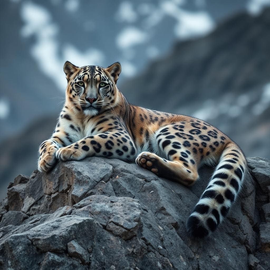
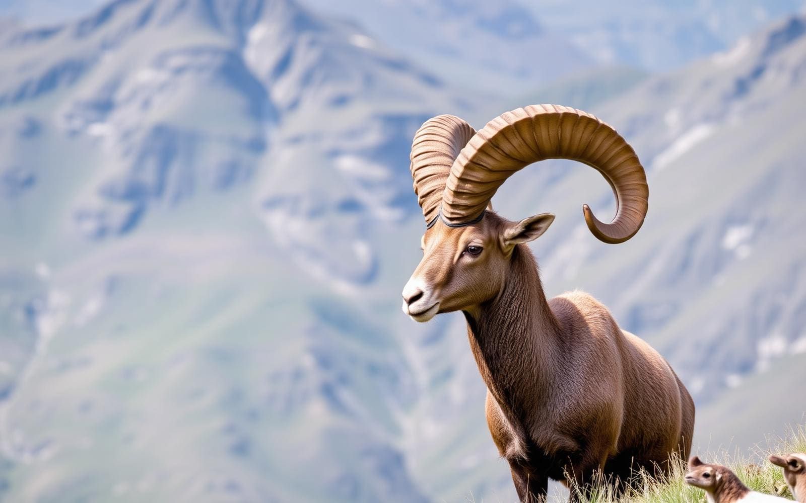
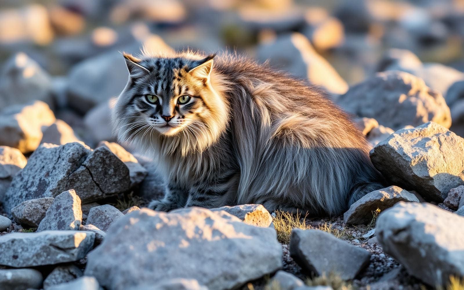
Animals around Great Himalaya Trail (sections)

The Great Himalaya Trail in Nepal
The Great Himalaya Trail (GHT) is a route spanning the Himalayas from east to west. The original concept aimed to establish a single long-distance trekking trail from Nepal's eastern to western borders, encompassing approximately 1,700 kilometers of path. Within Nepal, the GHT consists of 10 sections, forming a network of both upper and lower routes. While a continuous route is largely conceptual, existing trails can be mapped to approximate the GHT. Completing the GHT involves traversing diverse landscapes, including high alpine areas, valleys, and plateaus, connecting some of the world's most remote communities. The Nepal section of the GHT is a challenging trek, with an estimated less than 50 individuals having completed it. It requires significant preparation due to logistical complexities, navigation challenges, and the physical demands of constant elevation changes.
The Challenge of the GHT
The Great Himalaya Trail is considered an exceptionally difficult trek. Hikers frequently experience daily elevation gains or losses of 900-1500 meters (3000-5000 feet). The trail's difficulty is compounded by numerous factors beyond physical exertion. Navigation is a significant hurdle, as there are many intersecting trails with no signage, and local information can be unreliable. Resupplying food is complex, requiring pre-arranged drops or relying on limited local provisions of non-calorie-dense items like noodles and cookies. Sanitation standards in guesthouses can be low, leading to health issues such as diarrhea. The trail demands a slow pace due to altitude and terrain, contrasting with the fast-paced thru-hiking common in other regions. Monsoons during summer can bring torrential downpours and leeches, and domestic flights for resupply are prone to weather-related cancellations, adding to logistical frustrations.
Logistics and Preparation
Undertaking the Great Himalaya Trail requires comprehensive planning. Hikers often carry more gear and food than on other long-distance treks to extend time between resupply points. Food resupply logistics are challenging, often requiring participants to bring backpacking food from home and arrange for it to be stored and accessed in Kathmandu or Pokhara. Local shops offer limited supplies. Expect to lose weight due to strenuous activity and a diet often centered on dal bhat, which, while filling, may not provide sufficient calories for the demands of the trail. Cultural and language barriers are common, and local transportation can be exhausting and unpredictable. The trail often exposes hikers to dense jungles with allergenic plants and alpine areas with impassable routes, making off-trail travel unfeasible.
Navigation Requirements
Accurate navigation is critical for the Great Himalaya Trail. Hikers should possess strong map and compass skills and be proficient with GPS devices. Multiple navigation resources are recommended, including guidebooks like 'Nepal Trekking & the Great Himalaya Trail' by Robin Boustead and the 'GHT Low Route Guidebook' by Linda Bezemer. Digital resources such as the Maps.me GPS app (with Nepal maps downloaded) and Himalayan GPS maps are essential, often requiring two separate GPS map sources due to varying coverage. Paper maps, such as the Himalaya Map House Great Himalaya Series, are also necessary as a backup to electronic devices. While locals can provide directions, their knowledge may be limited to nearby villages, and they might offer guesses rather than accurate information to avoid disappointing trekkers. Navigating the hundreds of intersecting trails without clear markings is a constant challenge.
Sample itineraries
- Full Nepal GHT Traverse · 90 days
This itinerary involves hiking approximately 1300-1600 kilometers (800-1000 miles) across Nepal's Great Himalaya Trail, moving from east to west to stay ahead of monsoon season. It is a self-supported trek that demands careful planning for food resupply, navigation, and health management. Hikers should anticipate gaining or losing 900-1500 meters (3000-5000 feet) of elevation daily and managing a low-calorie diet from local food sources. The trek includes traversing remote villages, high mountain passes, and diverse landscapes, requiring robust navigation skills and adaptability to unpredictable local conditions. Total time for this traverse is estimated between 3 to 5 months.
Seasonal conditions
Spring
Not specified
Not specified
Summer
Not specified
Monsoon season moves from East to West, bringing torrential downpours and leeches. Hiking is more challenging during this period.
Fall
Not specified
Not specified
Winter
Not specified
Not specified
| Season | Window | Conditions |
|---|---|---|
| Spring | Not specified | Not specified |
| Summer | Not specified | Monsoon season moves from East to West, bringing torrential downpours and leeches. Hiking is more challenging during this period. |
| Fall | Not specified | Not specified |
| Winter | Not specified | Not specified |
Permits, fees & closures
Permits are required for trekking on the Great Himalaya Trail. Some regions mandate the hiring of a guide.
Confirm current permits, fees, and closures with the managing agency before you go.
Hazards & regulations
- Diarrhea and other health issues due to low sanitation standards
- Navigation challenges due to numerous intersecting trails and lack of signage
- Physically demanding due to constant and dramatic elevation changes
- Limited calorie intake from local food leading to weight loss and fatigue
- Monsoon rains and leeches during summer season
- Unreliable local transportation and domestic flight cancellations
What to pack for Great Himalaya Trail (sections)
- Guidebooks (e.g., Robin Boustead's, Linda Bezemer's)
- Maps.me GPS app (Nepal maps downloaded)
- Himalayan GPS maps
- GPS device (e.g., Garmin eTrex 20x)
- Paper maps (e.g., Himalaya Map House Great Himalaya Series)
- Compass
- Backpacking food (pre-packaged, high-calorie)
- Soap
- More gear and clothing than usual
Great Himalaya Trail (sections) FAQ
- How long does it take to complete the Great Himalaya Trail in Nepal?
- Completing the entire Great Himalaya Trail in Nepal is estimated to take between 3 to 5 months.
- What is the approximate distance of the Great Himalaya Trail in Nepal?
- The Great Himalaya Trail in Nepal covers an estimated distance of 1300-1600 kilometers (800-1000 miles).
- What kind of accommodations are available on the trail?
- Accommodations on the Great Himalaya Trail include guesthouses and camping.
- Are permits and guides required for the GHT?
- Permits are required for the Great Himalaya Trail. Some regions also mandate the use of a guide.
- What are the main challenges of the Great Himalaya Trail?
- The main challenges include difficult navigation, complex food resupply, low sanitation, constant and dramatic elevation changes, and cultural/language barriers. Monsoon weather and unreliable transportation also pose difficulties.
- How much elevation gain/loss should be expected daily?
- On most days, hikers should expect to gain or lose 900-1500 meters (3000-5000 feet) of elevation.