



- Region
- Northern Territory, Australia
- Best season
- Spring, Summer
- Permits
- Confirm current permit, camping and bookin…
Plan with verified data
Larapinta Trail trip tools
Tools for a trip here
Picked for how, when and where you're going. Free, no signup.
Photos of Larapinta Trail
How to get there
Alice Springs anchors the eastern end of the trail in the Northern Territory. The western end is Mount Sonder in the West MacDonnell Ranges. Confirm transport and practical trail access before arranging a one-way walk; the mountain endpoint should not be assumed to be a vehicle pickup point.
- Alice Springs
The trail's eastern endpoint and a geographic starting point for planning an east-to-west walk. Confirm the exact trail entry and local transport arrangements before departure.
- Mount Sonder
The western endpoint, on one of the Northern Territory's highest mountains. Confirm how the walking route connects with transport rather than treating the endpoint as road access.
Sources: Wikipedia · Wikivoyage. Confirm road and trailhead conditions with the managing agency before you leave.
Northern Territory, Australia · Season: Best: May – Aug (dry cool season)
- Winter Camping
- Skiing
- Desert Hiking
- Canyoneering
The country
The West MacDonnell Range runs west from Alice Springs — ancient quartzite and dolomite ridges with gorges and semi-permanent waterholes. Arrernte country.
Why enthusiasts come
Desert long-distance in a Southern-Hemisphere winter — cool nights, warm days, and stunning early light. Full traverse is 12–20 days depending on pace.
Planner-relevant notes
Water resupplies at ranger tanks are non-negotiable — plan them exactly. PLB is legally required. Some sections have limited or no cell coverage.
Field notes
- Mt Sonder sunrise is the traditional closer — 4:30 am start from Redbank.
- Waterholes are cultural heritage sites — check protocols for swimming.
- Fires in some sections are prohibited year-round.
Where on earth
Satellite imagery flying in from a world view to Larapinta Trail, Northern Territory, Australia. Use the + / − buttons, or click the map to zoom with your scroll wheel; drag to pan and pinch to zoom on touch.
Coordinates
- Decimal degrees
- -23.7000, 133.0500
- Latitude (DMS)
- 23° 41′ 60.0″ S
- Longitude (DMS)
- 133° 3′ 0.0″ E
Coordinates are an access-point reference for Larapinta Trail, not a route. Carry a paper map and confirm trailhead or put-in access with the managing agency before you go.
Topic summary
223 km along the West MacDonnell Range — Australia's finest desert walk.
Key takeaways
- Region: Northern Territory, Australia
- Best season: Best: May – Aug (dry cool season)
- Coordinates: -23.700, 133.050
Climate suitability
Best: May – Aug (dry cool season)
Keep planning
Popular pursuits at Larapinta Trail
- Winter Camping
Cold-season travel and camp craft; layering matters more than mileage.
- Skiing
Ski-touring access when the road closes for the season.
- Desert Hiking
Water carries and heat management drive the plan.
- Canyoneering
Narrows, downclimbs, and flash-flood timing.
Animals around Larapinta Trail


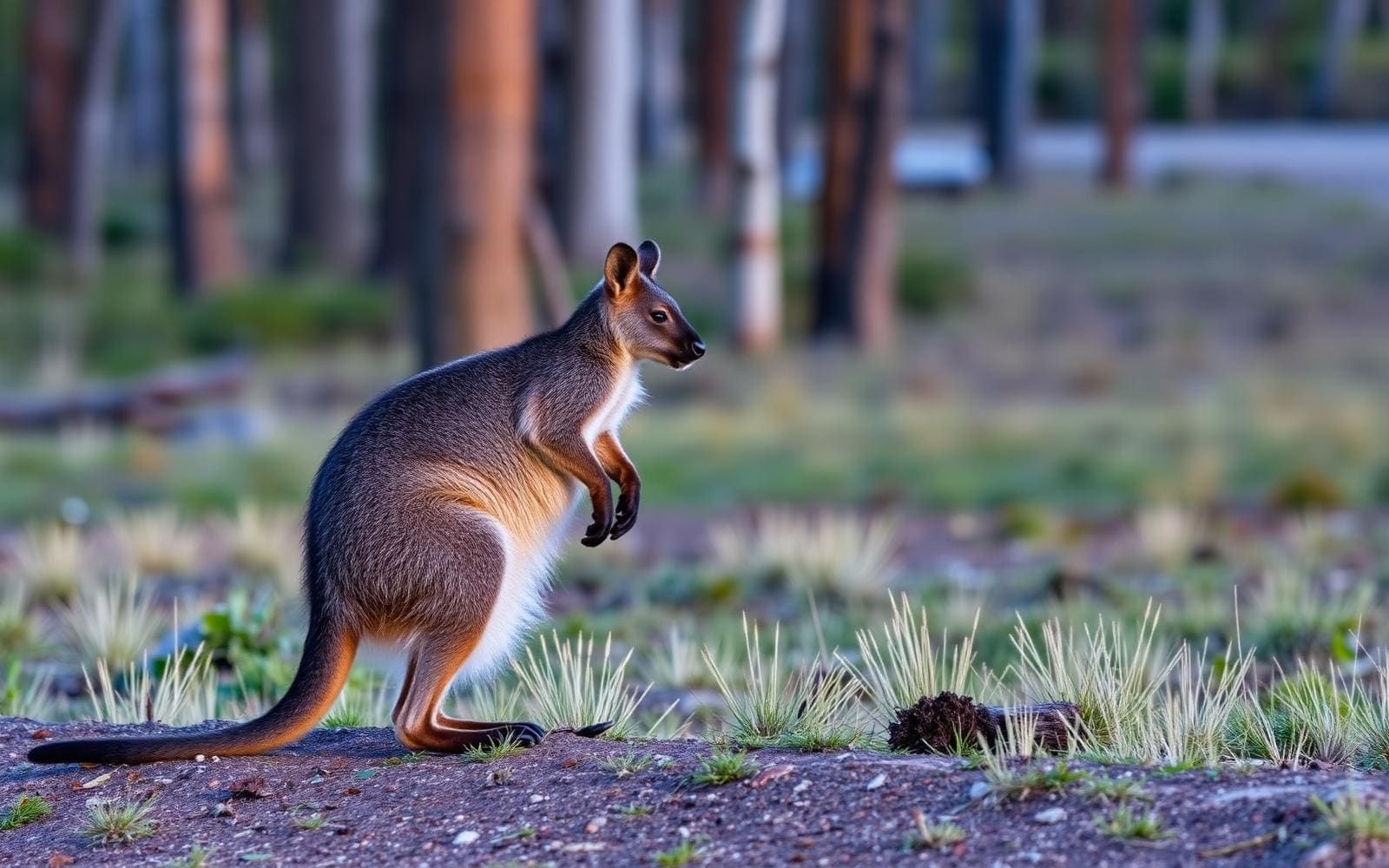
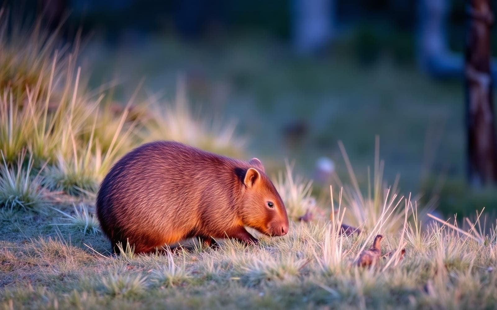
A long walk through the West MacDonnell Ranges
The Larapinta Trail runs for 223 kilometres between Alice Springs at its eastern end and Mount Sonder at its western end, in Australia's Northern Territory. It follows the West MacDonnell Ranges within West MacDonnell National Park, alternating between ridge lines and the plains below. That changing position in the landscape is central to the walk: this is neither a continuous ridge traverse nor a route confined to low ground. For trip planning, the useful starting point is its scale. Walking the full trail means preparing for an extended journey through a mountain-and-plain landscape, rather than treating the distance as a simple point-to-point stroll. Alice Springs and Mount Sonder provide the two clear geographic anchors for that planning.
Terrain and preparation
The trail's mix of ridges and plains calls for preparation that accounts for both elevation changes and time spent in open country. Mount Sonder, the western endpoint, is one of the Northern Territory's highest mountains, so the route's overall length is not the only measure of its demands. Build a walking plan around the terrain as well as distance, and check current weather before committing to an itinerary. Water arrangements, suitable footwear, sun protection and navigation should be settled before setting out. Do not assume that being inside a national park means supplies or assistance will be close at hand. The Northern Territory is sparsely populated, and an extended walk here deserves a self-reliant approach.
Choosing the scope of a trip
A full-length trip links Alice Springs with Mount Sonder across the West MacDonnell Ranges. Those endpoints make the overall route easy to understand, but they do not by themselves establish a daily schedule or transport plan. Before choosing a direction, confirm how to reach the intended start and leave the intended finish, particularly at the mountain end. If the full 223 kilometres is beyond the available time or experience, investigate shorter walks with the park's managing agency rather than assuming that any point along the trail is accessible. Confirm current access conditions and any permission requirements at the same time. Keep the itinerary flexible enough to respond to weather and the actual pace of walking through ridge-and-plain terrain.
Route options
- Full trail: Alice Springs to Mount Sonder223 kilometres
Follow the Larapinta Trail east to west through West MacDonnell National Park, moving between ridge lines and the plains below before reaching the western endpoint at Mount Sonder.
- Full trail: Mount Sonder to Alice Springs223 kilometres
Plan the same full-length trail in the opposite direction, linking the western mountain endpoint with Alice Springs in the east. Confirm access at the Mount Sonder end before committing to this orientation.
Sample itineraries
- Eastern-end introduction · 1 day
Plan a short out-and-back from the Alice Springs end of the Larapinta Trail. Choose a turnaround that suits conditions and the group's pace rather than aiming for a fixed distance. Confirm the trail entrance and current access before setting out.
- Western-end walking day · 1 day
Build a walking day around the trail's western end at Mount Sonder. Confirm access and choose a manageable section before departure. Treat a summit objective as a separate planning decision, not an automatic addition to a short walk.
Seasonal conditions
Spring
Choose dates using local forecasts
For this central Australian ridge-and-plain walk, plan around daytime heat and sun exposure. Adjust walking hours and water supplies to the forecast rather than assuming spring will be mild.
Summer
Assess heat before committing
Heat deserves particular attention on exposed ridgelines and open plains. Shorten or defer walking when conditions exceed the group's ability to manage heat and carry sufficient water.
Fall
Check temperatures for the planned walking days
Do not assume cooler seasonal conditions remove heat or water concerns. Pack layers for temperature changes and make daily objectives responsive to the forecast.
Winter
Check daytime and overnight forecasts
Prepare for cold as well as sun exposure, especially when planning overnight travel or time on ridgelines. Match clothing and sleeping equipment to forecast temperatures.
| Season | Window | Conditions |
|---|---|---|
| Spring | Choose dates using local forecasts | For this central Australian ridge-and-plain walk, plan around daytime heat and sun exposure. Adjust walking hours and water supplies to the forecast rather than assuming spring will be mild. |
| Summer | Assess heat before committing | Heat deserves particular attention on exposed ridgelines and open plains. Shorten or defer walking when conditions exceed the group's ability to manage heat and carry sufficient water. |
| Fall | Check temperatures for the planned walking days | Do not assume cooler seasonal conditions remove heat or water concerns. Pack layers for temperature changes and make daily objectives responsive to the forecast. |
| Winter | Check daytime and overnight forecasts | Prepare for cold as well as sun exposure, especially when planning overnight travel or time on ridgelines. Match clothing and sleeping equipment to forecast temperatures. |
Permits, fees & closures
Confirm current permit, camping and booking requirements with the agency managing West MacDonnell National Park.
Confirm current permits, fees, and closures with the managing agency before you go.
Hazards & regulations
- Heat and sun exposure require careful planning on the trail's ridgelines and open plains.
- Do not assume water will be available where needed; verify supplies before choosing daily distances.
- Ridgeline walking calls for careful footing and conservative decisions when weather deteriorates.
- The 223-kilometre route demands realistic pacing, navigation preparation and an emergency plan, particularly for extended walks.
What to pack for Larapinta Trail
- Sun hat
- Sunscreen
- Sun-protective clothing
- Water containers sized to verified supply arrangements
- Trail map
- Offline navigation with backup
- First-aid kit
- Emergency communication device
- Footwear suited to ridge and plain walking
- Warm layers
- Weather protection
- Sleeping equipment matched to the forecast for overnight trips
Larapinta Trail FAQ
- Where does the Larapinta Trail run?
- It runs east to west from Alice Springs to Mount Sonder in Australia's Northern Territory, following the West MacDonnell Ranges within West MacDonnell National Park.
- How long is the trail?
- The full trail is 223 kilometres. That is the end-to-end length, not a suggested daily distance.
- What terrain should walkers expect?
- The route alternates between ridgelines and the plains below the West MacDonnell Ranges. Prepare for both elevated, exposed walking and travel across open ground.
- Is Mount Sonder part of the route?
- Mount Sonder is the trail's western endpoint and one of the Northern Territory's highest mountains. Confirm the intended route and its demands before including a summit objective.
- Can the trail be sampled without walking its full length?
- A shorter out-and-back is a planning option. Confirm a suitable entrance, current access and water arrangements, then choose a turnaround within the group's ability.
- What needs checking before departure?
- Confirm current park requirements, trail access, water availability and weather. For a longer walk, also establish realistic daily stages, transport arrangements and a way to seek help.