



Torres del Paine
Patagonian granite towers, glacier-fed lakes, and wind that decides your itinerary for you.
- Region
- Patagonia
- Country
- Chile
- Best for
- trekking, photography, glacier viewing
- Best season
- Spring, Summer
- Permits
- Confirm current entry requirements and any…
Plan with verified data
Torres del Paine trip tools
Patagonia · Chile · Season: November–March
- Climbing
- Mountaineering
- Hiking
Pick your circuit
The W hits the three headline valleys in under a week. The O circuit adds the quiet back side and the John Gardner Pass glacier view — worth the extra days if you have them.
Gear that matters
A genuinely storm-worthy shell, staked-out tent, and trekking poles. Patagonian wind destroys marginal equipment.
Field notes
- Reserve campsites before booking flights — they gate the whole trip
- Weather can deliver four seasons in one afternoon
Where on earth
Satellite imagery flying in from a world view to Torres del Paine, Chile. Use the + / − buttons, or click the map to zoom with your scroll wheel; drag to pan and pinch to zoom on touch.
Coordinates
- Decimal degrees
- -50.9423, -73.4068
- Latitude (DMS)
- 50° 56′ 32.3″ S
- Longitude (DMS)
- 73° 24′ 24.5″ W
Coordinates are an access-point reference for Torres del Paine, not a route. Carry a paper map and confirm trailhead or put-in access with the managing agency before you go.
Topic summary
Patagonian granite towers, glacier-fed lakes, and wind that decides your itinerary for you.
Key takeaways
- Region: Patagonia
- Country: Chile
- Best season: November–March
- Good for: trekking, photography, glacier viewing, wildlife viewing
- Coordinates: -50.942, -73.407
Intended uses
- trekking
- photography
- glacier viewing
- wildlife viewing
Climate suitability
November–March
Keep planning
Popular pursuits at Torres del Paine
- Climbing
Rock and alpine lines with approach beta.
- Mountaineering
Glacier and high-route objectives with real consequence.
- Hiking
Day miles on marked trail, with route notes and trail links below.
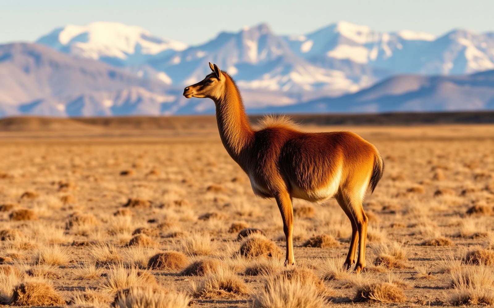
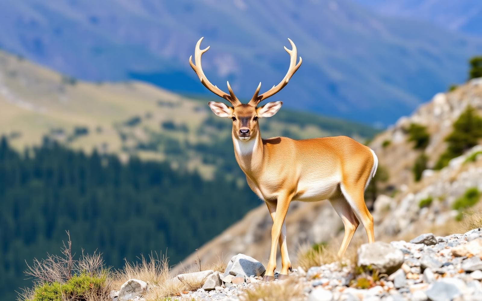
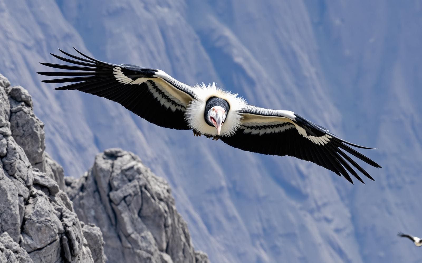
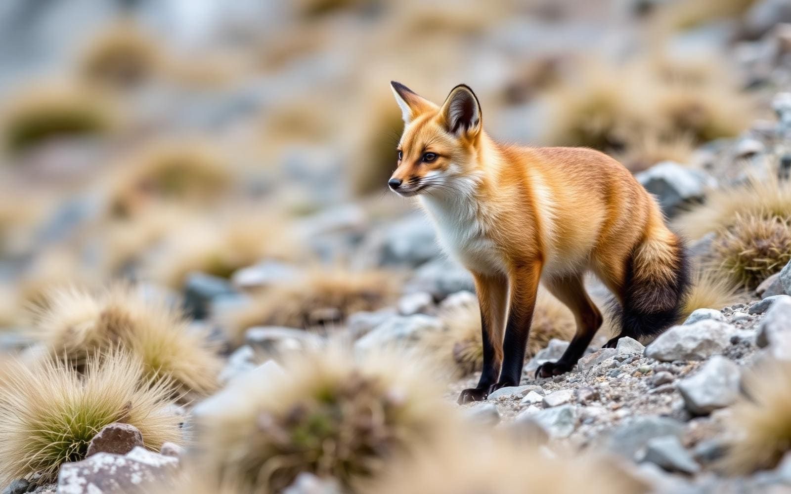
Animals around Torres del Paine

The Paine mountains and their setting
Torres del Paine National Park lies in Chilean Patagonia, in the southern Andes. Its defining landscape combines mountains, lakes, and glaciers, with the Cordillera Paine forming the mountain group at its center. The rocky Torres del Paine give the park its name, while the Cuernos del Paine are another named mountain attraction. Paine means “blue” in the native Tehuelche, or Aonikenk, language and is pronounced PIE-nay. The cordillera belongs to the Commune of Torres del Paine in Última Esperanza Province, within the Magallanes and Antártica Chilena Region. For trip planning, distinguish the national park from the mountain group inside it: choosing the destination is only the first step, and choosing a specific lake, glacier, or mountain objective determines what access information is needed.
Choosing a landscape to explore
The park’s named attractions offer several ways to focus a visit without treating every outing as a mountain objective. Grey Glacier and Lago Grey provide a glacier-and-lake focus. Lago Pehoé, Lago Nordenskjöld, and Lago Sarmiento are other lake destinations to consider, while the Torres del Paine and Cuernos del Paine put the emphasis on the mountains. These are landscape objectives, not interchangeable trailheads or descriptions of established walking routes. Before selecting an outing, establish where it begins, how it reaches the intended feature, and what the return involves. A lake name alone does not establish shoreline access, and a named mountain does not establish a suitable hiking route. Keep the itinerary centered on objectives whose approach and demands have been confirmed.
Planning with mountain conditions in mind
A visit to this mountain, lake, and glacier landscape calls for an itinerary matched to the conditions and the group’s abilities. Carry layers, weather protection, food, water, and navigation appropriate to the outing rather than assuming that a sightseeing objective requires little preparation. Confirm current conditions and access with the managing agency before committing to a route, and leave room to shorten plans if the weather makes the intended outing unsuitable. Be cautious about using summit elevations as a measure of difficulty: published elevations for the Cordillera Paine are approximate, and their accuracy has been questioned. More useful planning questions concern the actual approach, terrain, available daylight, and return arrangements. None should be inferred simply from an attraction’s name or its position within the park.
Getting to Torres del Paine
Torres del Paine National Park is in Chilean Patagonia. The Cordillera Paine lies 280 km north of Punta Arenas and about 1,960 km south of Santiago; these are location distances, not confirmed driving distances. Confirm transport and the appropriate park entrance before travel.
- Lago Grey
A named lake attraction within the park, not a verified entrance or trailhead here. Confirm the specific arrival point and onward access for the intended outing.
- Lago Pehoé
A named lake destination within the park. Confirm an appropriate access location before using it as an itinerary starting point; no entrance or trailhead details are established here.
Route options
- Grey Glacier and Lago Grey
A glacier-and-lake planning focus rather than a verified connecting route. Confirm how each attraction can be reached before building an outing around them.
- Torres del Paine
A mountain-focused objective centered on the rocky towers that name the park. Select a confirmed approach appropriate to the group; no specific trail or summit route is established here.
- Cuernos del Paine
An alternative mountain focus within the park. Treat this as a destination choice, not a mapped walking route, and confirm the intended approach before departure.
Sample itineraries
- Paine mountain and lake sampler · 2 days
Use this as a sightseeing outline, not a verified hiking route. Dedicate one day to the Torres del Paine mountain landscape and another to Lago Nordenskjöld and the Cuernos del Paine. Confirm access and travel logistics before fixing the schedule.
- Lakes and Grey Glacier · 3 days
Plan separate days around Lago Pehoé, Lago Grey and Grey Glacier, and Lago Sarmiento. Choose accessible viewpoints or outings after checking local conditions. This outline does not establish trail connections, glacier access, or travel times.
Seasonal conditions
| Season | Window | Conditions |
|---|---|---|
| Spring | Southern Hemisphere spring | Prepare for variable mountain weather. Check current conditions before choosing lake or mountain outings; do not assume that a seasonal change means every access option is available. |
| Summer | Southern Hemisphere summer | Keep weather protection in the pack even for lake-focused days. This is a southern Andean mountain setting with glaciers, so plan around the forecast rather than an expectation of warm conditions. |
| Fall | Southern Hemisphere fall | Plan conservatively around the day's weather and available daylight. Carry insulating layers and confirm access before committing to a mountain outing. |
| Winter | Southern Hemisphere winter | Prepare for cold conditions and assess whether the day's terrain and weather match the group's skills. Confirm current access with park management rather than assuming summer plans remain suitable. |
Permits, fees & closures
Confirm current entry requirements and any permits with the park's managing agency before travel.
Confirm current permits, fees, and closures with the managing agency before you go.
Hazards & regulations
- Mountain weather can expose visitors to cold and poor visibility; carry weather protection and adjust plans to conditions.
- Rocky mountain terrain requires secure footing and an outing suited to the group's ability.
- Treat lake water near the glacial landscape as a cold-water exposure risk; avoid unplanned immersion.
- Do not treat a sightseeing plan for Grey Glacier as permission or preparation to travel on glacier ice.
What to pack for Torres del Paine
- Waterproof outer layer
- Insulating layers
- Warm hat and gloves
- Footwear with reliable grip
- Navigation tools appropriate to the outing
- Headlamp
- First-aid supplies
- Drinking water
- Food for the planned outing
- Sun protection
Torres del Paine FAQ
- Where is Torres del Paine?
- Torres del Paine National Park is in Chilean Patagonia, in the southern Andes. The Cordillera Paine lies within the park in Última Esperanza Province, part of the Magallanes and Antártica Chilena Region.
- What are the main landscape highlights?
- The park features mountains, lakes, and glaciers. Named highlights include Torres del Paine, Cuernos del Paine, Grey Glacier, Lago Grey, Lago Pehoé, Lago Nordenskjöld, and Lago Sarmiento.
- What does Paine mean?
- Paine means “blue” in the native Tehuelche, or Aonikenk, language. It is pronounced PIE-nay.
- Are the itineraries established hiking routes?
- No. They are suggested sightseeing outlines organized around named park features. Confirm access, travel times, suitable trails, and current conditions before turning them into a daily plan.
- Can mountain elevations be treated as exact?
- Treat published elevations for the Cordillera Paine cautiously. Accurate surveys have not been published, and some published elevations have been described as substantially inflated.