



- Region
- Texas
- Country
- United States
- Best for
- fly fishing, fishing
- Best season
- Spring, Summer
- Permits
- Confirm permit and access requirements wit…
Plan with verified data
Dagger Island, San Antonio Bay trip tools
Tools for a trip here
Picked for how, when and where you're going. Free, no signup.
How to get there
The specific transportation to Dagger Island is not detailed. Access to the general region, such as Port Aransas, is via land routes to the Texas coast.
Sources: Wikipedia · Wikivoyage. Confirm road and trailhead conditions with the managing agency before you leave.
Texas · United States · Season: Spring through fall
- Fishing
- Winter Camping
- Skiing
- Sea Kayaking
- Beachcombing
Overview
Dagger Island, located within the vast San Antonio Bay system, is a prime redfish destination known for its expansive, shallow flats and strategic wind breaks. The island itself, along with numerous smaller islands and scattered shell reefs, creates protected pockets and channels that hold fish even on windy days. The bottom varies from hard sand and shell to firmer grass beds, making for generally good wading. Tidal flow from the various passes into San Antonio Bay ensures a consistent supply of bait. Redfish cruise these flats, often tailing in the grass or pushing wakes along the island's edges. Access is by boat, typically from Port O'Connor, which requires a decent run across open bay water. Fall, winter, and spring are most productive. Anglers should be prepared for potential long runs and be adept at spotting fish against a busy backdrop of grass and shell. The rewards are often large fish and less crowded conditions than more accessible spots.
Why it stands out
Expansive shallow flats with varied bottom structure
Excellent wind protection behind Dagger Island and smaller islets
Opportunities for larger redfish due to less pressure
Good tidal influence from San Antonio Bay passes
Mix of hard sand, shell, and grass for diverse fishing
Know before you go
Requires a longer boat run from launch points
Can be exposed to crosswinds when traversing open bay
Oyster shells can be sharp; stout wading boots are essential
Navigation can be tricky in low light or fog due to numerous small islands
Planning notes
Where: Texas, United States Best season: Spring through fall Good for: Fly Fishing, Fishing Featured on: Top 10 Fly Fishing Flat Spots for Redfish on the Texas Middle Coast (#8) Access point: San Antonio Bay, Texas, USA
Check current permits, closures and fire restrictions with the managing agency before you commit to dates.
Field notes
- Expansive shallow flats with varied bottom structure
- Excellent wind protection behind Dagger Island and smaller islets
- Opportunities for larger redfish due to less pressure
- Good tidal influence from San Antonio Bay passes
- Mix of hard sand, shell, and grass for diverse fishing
Where on earth
Satellite imagery flying in from a world view to Dagger Island, San Antonio Bay, United States. Use the + / − buttons, or click the map to zoom with your scroll wheel; drag to pan and pinch to zoom on touch.
Coordinates
- Decimal degrees
- 28.3540, -96.7601
- Latitude (DMS)
- 28° 21′ 14.6″ N
- Longitude (DMS)
- 96° 45′ 36.4″ W
Coordinates are an access-point reference for Dagger Island, San Antonio Bay, not a route. Carry a paper map and confirm trailhead or put-in access with the managing agency before you go.
Topic summary
Dagger Island, located within the vast San Antonio Bay system, is a prime redfish destination known for its expansive, shallow flats and strategic wind breaks.
Key takeaways
- Region: Texas
- Country: United States
- Best season: Spring through fall
- Good for: fly fishing, fishing
- Coordinates: 28.354, -96.760
Intended uses
- fly fishing
- fishing
Climate suitability
Spring through fall
Keep planning
Popular pursuits at Dagger Island, San Antonio Bay
- Fishing
Resident gamefish, seasons, and the water that holds them.
- Winter Camping
Cold-season travel and camp craft; layering matters more than mileage.
- Skiing
Ski-touring access when the road closes for the season.
- Sea Kayaking
Coastal crossings, tides, and protected camps.
- Beachcombing
Tide-line walking between camps.
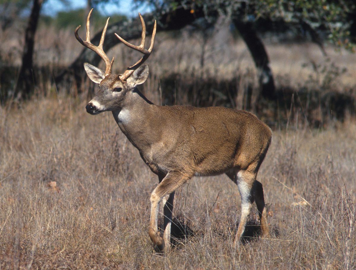
Animals around Dagger Island, San Antonio Bay



An Introduction to Dagger Island
Dagger Island is located within the greater San Antonio Bay area, off the Texas coast. This region is characterized by its significant barrier islands and coastal waterways. While Dagger Island itself is not detailed in the provided information, the surrounding context points to a vibrant marine and estuarine environment. The Texas coast is known for its extensive barrier island system, which includes Mustang Island and Padre Island, both important ecological and recreational areas. The waters around the bay, such as Corpus Christi Bay and the Gulf of Mexico, define the broader habitat and offer a variety of coastal experiences. Visitors to the area can expect a flat coastal landscape, influenced by the shallow bay systems and the proximity to the Gulf.
Geographic Context and Surroundings
Dagger Island lies within the influence of San Antonio Bay, an important part of the Texas Gulf Coast ecosystem. The nearby city of Port Aransas, situated 180 miles southeast of San Antonio, serves as a key access point to the region's barrier islands. Port Aransas is the only established town on Mustang Island, which is one of the longest barrier islands along the Texas coast, located north of Padre Island. The area is defined by a complex network of waterways, including Corpus Christi Bay, the Gulf of Mexico, the Lydia Ann Ship Channel, and the Corpus Christi Ship Channel, all contributing to the unique coastal environment around Dagger Island.
Coastal Environment and Ecosystem
The San Antonio Bay area, where Dagger Island is situated, is part of a dynamic coastal ecosystem. The barrier islands, such as Mustang Island and Padre Island, play a crucial role in protecting the mainland from Gulf storms and creating sheltered bay environments. These bays, including Corpus Christi Bay, are vital nurseries for marine life and support diverse bird populations. The combination of Gulf waters, bay systems, and ship channels creates a rich habitat for various species. The coastal plains are generally flat, with the landscape dominated by sand, marsh, and estuarine features. Understanding this environment is key for any outdoor activity in the Dagger Island vicinity.
Accessibility and Regional Hubs
Access to the San Antonio Bay region, including Dagger Island, typically involves navigating to coastal communities. Port Aransas, located on Mustang Island, is a significant gateway to the barrier island system and surrounding waters. It is situated in Nueces County, Texas. For those traveling from major urban centers, Houston, a large port city in Southeastern Texas, serves as a primary regional hub. Although Houston is a considerable distance from the coast, it offers extensive transportation links for reaching the Texas Gulf Coast. Travelers should plan their routes to coastal access points like Port Aransas to explore the Dagger Island area.
Sample itineraries
- Coastal Exploration Day Trip · 1 day
Begin your day by traveling to Port Aransas, located on Mustang Island. Explore the town and its immediate coastal access points. Spend time observing the Corpus Christi Bay and Gulf of Mexico environments. While specific details for Dagger Island are not provided, this itinerary allows for general coastal appreciation within the region.
- Barrier Island Overview · 2 days
Dedicate time to understanding the barrier island system. On day one, focus on Mustang Island and its features, including the unique coastal ecosystems and the Lydia Ann Ship Channel. Day two could involve exploring the broader context of the Gulf of Mexico and Corpus Christi Bay, observing the importance of these waterways to the coastal environment.
Seasonal conditions
Spring
March - May
Specific conditions for Dagger Island are not provided.
Summer
June - August
Specific conditions for Dagger Island are not provided.
Fall
September - November
Specific conditions for Dagger Island are not provided.
Winter
December - February
Specific conditions for Dagger Island are not provided.
| Season | Window | Conditions |
|---|---|---|
| Spring | March - May | Specific conditions for Dagger Island are not provided. |
| Summer | June - August | Specific conditions for Dagger Island are not provided. |
| Fall | September - November | Specific conditions for Dagger Island are not provided. |
| Winter | December - February | Specific conditions for Dagger Island are not provided. |
Permits, fees & closures
Confirm permit and access requirements with the relevant managing agency or local authorities for Dagger Island and the San Antonio Bay area.
Confirm current permits, fees, and closures with the managing agency before you go.
Hazards & regulations
- Coastal weather changes
- Marine currents
- Sun exposure
What to pack for Dagger Island, San Antonio Bay
- Sun protection
- Hydration
- Appropriate footwear for sand/wet conditions
Dagger Island, San Antonio Bay FAQ
- Where is Dagger Island located?
- Dagger Island is situated within the San Antonio Bay region of the Texas coast.
- What is Port Aransas?
- Port Aransas is a city in Nueces County, Texas, located on Mustang Island. It serves as an access point to the coastal region.
- What are the significant waterways in the area?
- The surrounding waters include Corpus Christi Bay, the Gulf of Mexico, the Lydia Ann Ship Channel, and the Corpus Christi Ship Channel.
- Is Dagger Island near any other islands?
- Dagger Island is in the vicinity of Mustang Island and Padre Island, which are part of the Texas barrier island system.