



- Region
- Texas
- Country
- United States
- Best for
- fly fishing, fishing
- Best season
- Spring, Summer
- Permits
- Confirm visitor access and any applicable …
Plan with verified data
Long Reef (Cedar Bayou Area), San Jose Island trip tools
Tools for a trip here
Picked for how, when and where you're going. Free, no signup.
How to get there
The Cedar Bayou restoration project area is near the Aransas County–Calhoun County line, at approximately 28°04′17″ N, 96°50′53″ W, on the USGS “Saint Charles Bay SE, Tex.” quadrangle. These coordinates locate the project area, not Long Reef or a public launch. Confirm a lawful departure point and the reef’s exact location before arranging travel.
- Cedar Bayou
Geographic orientation point within the fish-pass restoration area between the Gulf of Mexico and Mesquite Bay. Public launch facilities, landing permissions, and current navigability are not established; confirm these before using it as an approach.
- San Jose Island’s Gulf beach
Beach adjoining the restoration work’s dredged-material placement areas. Its inclusion in the project does not establish public landing access or a visitor departure point.
Sources: aransascountytx.gov · Wikipedia · Wikivoyage. Confirm road and trailhead conditions with the managing agency before you leave.
Texas · United States · Season: Spring through fall
- Fishing
- Winter Camping
- Skiing
- Sea Kayaking
- Beachcombing
- Snorkeling
- Diving
Overview
Long Reef, located near the Cedar Bayou cut on San Jose Island, offers a classic Middle Coast redfish experience. This area is characterized by its lengthy shell reefs and adjacent sand and grass flats. The influence of Cedar Bayou, a natural pass, ensures excellent tidal flow, constantly bringing baitfish into the bays. Redfish are often found patrolling the edges of the reef structure, especially on incoming and outgoing tides, or pushing onto the shallower sand flats to feed. The terrain here is varied, offering both hard wading and areas requiring careful footing around shell. Access is via boat from Port Aransas or Aransas Pass. Fall and spring are prime, but strong west or north winds can really clear the water and make for great winter fishing. Anglers should be proficient at casting in wind and have a good eye for spotting subtle movements. This spot can get busy, especially on favorable tide and weather days, but its size usually allows for plenty of space.
Why it stands out
Strong tidal currents from Cedar Bayou concentrate bait and fish
Extensive shell reefs provide structure for feeding reds
Mixed bottom of hard sand, shell, and grass
Opportunities for large schools of redfish
Often productive during cooler months with clear water
Know before you go
Can be very windy, challenging casting and poling
Oyster shells can be sharp; wading boots are essential
Proximity to Cedar Bayou means more boat traffic
Limited protection from direct east or west winds
Planning notes
Where: Texas, United States Best season: Spring through fall Good for: Fly Fishing, Fishing Featured on: Top 10 Fly Fishing Flat Spots for Redfish on the Texas Middle Coast (#3) Access point: San José Island, Texas, USA
Check current permits, closures and fire restrictions with the managing agency before you commit to dates.
Field notes
- Strong tidal currents from Cedar Bayou concentrate bait and fish
- Extensive shell reefs provide structure for feeding reds
- Mixed bottom of hard sand, shell, and grass
- Opportunities for large schools of redfish
- Often productive during cooler months with clear water
Where on earth
Satellite imagery flying in from a world view to Long Reef (Cedar Bayou Area), San Jose Island, United States. Use the + / − buttons, or click the map to zoom with your scroll wheel; drag to pan and pinch to zoom on touch.
Coordinates
- Decimal degrees
- 28.0439, -96.9102
- Latitude (DMS)
- 28° 2′ 38.0″ N
- Longitude (DMS)
- 96° 54′ 36.7″ W
Coordinates are an access-point reference for Long Reef (Cedar Bayou Area), San Jose Island, not a route. Carry a paper map and confirm trailhead or put-in access with the managing agency before you go.
Topic summary
Long Reef, located near the Cedar Bayou cut on San Jose Island, offers a classic Middle Coast redfish experience.
Key takeaways
- Region: Texas
- Country: United States
- Best season: Spring through fall
- Good for: fly fishing, fishing
- Coordinates: 28.044, -96.910
Intended uses
- fly fishing
- fishing
Climate suitability
Spring through fall
Keep planning
Popular pursuits at Long Reef (Cedar Bayou Area), San Jose Island
- Fishing
Resident gamefish, seasons, and the water that holds them.
- Winter Camping
Cold-season travel and camp craft; layering matters more than mileage.
- Skiing
Ski-touring access when the road closes for the season.
- Sea Kayaking
Coastal crossings, tides, and protected camps.
- Beachcombing
Tide-line walking between camps.
- Snorkeling
Clear-water days and shore entries.
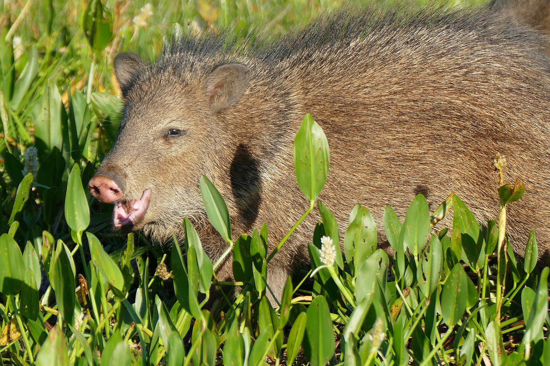
Animals around Long Reef (Cedar Bayou Area), San Jose Island



The Cedar Bayou setting
Planning a visit to Long Reef in the Cedar Bayou area starts with the surrounding coastal geography: San Jose Island’s Gulf beach, Cedar Bayou, Vinson Slough, and Mesquite Bay. Cedar Bayou lies near the Aransas County–Calhoun County line, where a fish-pass restoration project was designed to reconnect the Gulf of Mexico with Mesquite Bay for migrating marine species. This is a landscape of open water, tidal flats, marsh, and barrier-island beach rather than a documented trail destination. Long Reef’s precise position, shoreline access, and relationship to navigable channels need confirmation before setting an itinerary. Treat the broader Cedar Bayou location as an orientation point, not as a verified landing or a precise location for the reef itself.
A modified tidal landscape
Cedar Bayou and Vinson Slough have been the focus of substantial excavation and dredging plans. The authorized restoration work included removing sediment from the Gulf, Cedar Bayou, and Vinson Slough, with placement areas on San Jose Island’s Gulf beach. Its purpose was to restore a fish pass and tidal exchange, not to establish a recreational route. The surrounding habitat includes Spartina alterniflora marsh, tidal flats, open water, and submerged aquatic vegetation. Restoration commitments also included creating marsh and intertidal habitat. For visitors, the important distinction is between an engineered project description and present-day conditions: authorized channel dimensions do not establish current water depth or safe passage. Keep landings and shoreline exploration away from marsh vegetation and avoid disturbing shallow-water habitat.
What to confirm before going
A workable trip plan needs current local access and water-condition information. Confirm the location of Long Reef, a lawful departure point, any landing permissions, and whether the intended approach is suitable for the craft and conditions. Do not treat the restoration project’s Gulf-only construction access requirement as a visitor-access rule or a recommended approach. Likewise, the dredging authorization is not a recreational permit. Confirm visitor requirements with the managing agency before departure. For this Gulf-and-bay setting, review weather, wind, tides, and available daylight, and carry drinking water, sun protection, navigation equipment, and a means of communication appropriate to the outing. Without a verified launch, landing, or marked route, keep the itinerary provisional rather than assigning a travel time or difficulty rating.
Route options
- Cedar Bayou–Mesquite Bay connection
A geographic corridor to investigate during trip planning, not a verified recreational route. Restoring a fish-pass connection between the Gulf of Mexico and Mesquite Bay was the project’s stated purpose. Confirm present conditions, lawful access, and Long Reef’s position before considering travel through this area.
- Vinson Slough area
An alternative area for itinerary research within the Cedar Bayou restoration landscape. Vinson Slough was included in dredging and tidal-flow restoration plans, but no marked visitor route or confirmed connection to Long Reef is established. Obtain current navigation and access guidance before including it.
Sample itineraries
- Cedar Bayou reconnaissance · 1 day
After confirming legal access and current water conditions, plan a short visit centered on Cedar Bayou. Focus on the fish-pass landscape between the Gulf of Mexico and Mesquite Bay. Choose the turnaround point around conditions rather than assuming the channel is navigable.
- San Jose Island coastal habitats · 1 day
If access is confirmed, spend a day observing San Jose Island’s Gulf beach and the Cedar Bayou area’s tidal-flat and marsh habitats. Keep the plan flexible; this is not an established route description. Avoid disturbing marsh vegetation or entering water of uncertain depth.
Seasonal conditions
Spring
Check conditions before travel
No site-specific spring pattern is established here. For this Gulf beach and tidal-water setting, check the marine forecast, tides, and current access before choosing an outing.
Summer
Check conditions before travel
Plan sun protection and sufficient drinking water for time on the beach or open water. Check the marine forecast and tides; no summer-specific access or channel conditions are established here.
Fall
Check conditions before travel
Do not assume the fish pass is open or navigable. Confirm current channel conditions and access, and let the marine forecast determine whether a beach or water outing is appropriate.
Winter
Check conditions before travel
Prepare for exposure beside open Gulf water with wind-resistant layers and dry spare clothing. Check the forecast and tides; no winter-specific operating schedule or access conditions are established here.
| Season | Window | Conditions |
|---|---|---|
| Spring | Check conditions before travel | No site-specific spring pattern is established here. For this Gulf beach and tidal-water setting, check the marine forecast, tides, and current access before choosing an outing. |
| Summer | Check conditions before travel | Plan sun protection and sufficient drinking water for time on the beach or open water. Check the marine forecast and tides; no summer-specific access or channel conditions are established here. |
| Fall | Check conditions before travel | Do not assume the fish pass is open or navigable. Confirm current channel conditions and access, and let the marine forecast determine whether a beach or water outing is appropriate. |
| Winter | Check conditions before travel | Prepare for exposure beside open Gulf water with wind-resistant layers and dry spare clothing. Check the forecast and tides; no winter-specific operating schedule or access conditions are established here. |
Permits, fees & closures
Confirm visitor access and any applicable permit requirements with the managing agency.
Official source: [PDF] Aransas County · Verified September 19, 2026
Hazards & regulations
- Tidal water: check tide conditions before approaching tidal flats or entering the water.
- Uncertain channel depth: historical dredging dimensions are not a guarantee of present navigability.
- Gulf exposure: assess marine weather before beach or water travel and turn back if conditions exceed the group’s abilities.
What to pack for Long Reef (Cedar Bayou Area), San Jose Island
- Drinking water
- Sun protection
- Wind-resistant layer
- Dry spare clothing
- Current map or marine chart
- Weather and tide information
- Waterproof communication device
- Personal flotation device for water travel
- Binoculars
- Camera
- Bag for carrying out litter
Long Reef (Cedar Bayou Area), San Jose Island FAQ
- Where is the Cedar Bayou area?
- Cedar Bayou lies near the Aransas County–Calhoun County line on the Texas coast. The fish-pass project connects the Gulf of Mexico and Mesquite Bay, with work also described in Vinson Slough and along San Jose Island’s Gulf beach.
- Is Long Reef’s exact location or access established?
- No exact Long Reef location, launch point, landing, or visitor route is established here. Confirm the intended destination and legal access before arranging travel.
- Does the dredging authorization allow recreational access?
- The authorization concerns fish-pass excavation and restoration, not visitor entry. It does not establish recreational access rights or visitor permit requirements.
- Can the fish pass be assumed navigable?
- No. Authorized excavation dimensions describe a project, not current channel conditions. Verify present depth and passage conditions before planning water travel.
- What habitats characterize the area?
- The Cedar Bayou and Vinson Slough project area includes open water, tidal flats, Spartina alterniflora marsh, and submerged aquatic vegetation. San Jose Island’s Gulf beach forms part of the coastal setting.