



- Region
- Veracruz/Puebla, Mexico
- Best season
- Spring, Summer
- Permits
- Confirm current entry requirements, permit…
Plan with verified data
Pico de Orizaba National Park trip tools
Tools for a trip here
Picked for how, when and where you're going. Free, no signup.
Photos of Pico de Orizaba National Park
How to get there
Pico de Orizaba National Park is in Veracruz/Puebla, Mexico. Its center point is 19.0300, -97.2697. Use these links for live turn-by-turn directions from where you are, then confirm road, trailhead and access conditions with the managing agency before you leave.
Veracruz/Puebla, Mexico · Season: Best: November - March
- Climbing
- Mountaineering
- Winter Camping
- Skiing
- Sea Kayaking
- Beachcombing
The country
Dominating the eastern horizon, this massive dormant stratovolcano rises drastically from the coastal plains to hold the largest permanent glacier in Mexico. The lower slopes are forested with hardy highland pines, which quickly yield to barren pumice, volcanic scree, and ultimately solid ice. The Jamapa Glacier sprawls across the northern face, presenting an intimidating expanse of seracs and crevasses.
Why enthusiasts come
Mountaineers utilize the peak as an accessible but rigorous high-altitude training ground before attempting the Himalayas or Denali. The standard route offers exceptional, moderate non-technical glacier travel that nonetheless relentlessly tests climbers' acclimatization.
Top experiences
The grueling alpine start from the Piedra Grande Hut requires navigating the complex 'Labyrinth' rock bands by headlamp. Breaching the glacier and ascending the final 40-degree snow slopes directly to the crater rim at dawn provides incredible vistas toward the Gulf of Mexico.
Planner-relevant notes
Despite being a highly popular peak, the altitude of 5,636 meters (18,491 ft) causes severe acute mountain sickness; multi-day acclimatization is mandatory. The Jamapa Glacier turns incredibly hard and icy by late season, increasing the risk of uncontrolled, fatal slides. Hiring 4x4 transport in Tlachichuca is standard practice, as the road to the basecamp is impassable to standard vehicles.
Field notes
- Crampons must be razor-sharp; the ice on the final 400 meters of the crater cone is notoriously bulletproof in the early morning.
- The Piedra Grande hut is chaotic and extremely drafty; bring earplugs and pitch a four-season tent outside if you want real sleep.
- Beware of 'penitentes'—jagged spikes of sun-melted snow—developing late in the season, which severely complicate downward travel.
- Descend the Labyrinth before the afternoon fog rolls in, as route-finding through the identical volcanic gullies becomes nearly impossible.
Where on earth
Satellite imagery flying in from a world view to Pico de Orizaba National Park, Veracruz/Puebla, Mexico. Use the + / − buttons, or click the map to zoom with your scroll wheel; drag to pan and pinch to zoom on touch.
Coordinates
- Decimal degrees
- 19.0300, -97.2697
- Latitude (DMS)
- 19° 1′ 48.0″ N
- Longitude (DMS)
- 97° 16′ 10.9″ W
Coordinates are an access-point reference for Pico de Orizaba National Park, not a route. Carry a paper map and confirm trailhead or put-in access with the managing agency before you go.
Topic summary
North America's highest volcano challenges mountaineers with high-altitude glacier climbing and sweeping views of the surrounding Mexican central plateau.
Key takeaways
- Region: Veracruz/Puebla, Mexico
- Best season: Best: November - March
- Coordinates: 19.030, -97.270
Climate suitability
Best: November - March
Keep planning
Popular pursuits at Pico de Orizaba National Park
- Climbing
Rock and alpine lines with approach beta.
- Mountaineering
Glacier and high-route objectives with real consequence.
- Winter Camping
Cold-season travel and camp craft; layering matters more than mileage.
- Skiing
Ski-touring access when the road closes for the season.
- Sea Kayaking
Coastal crossings, tides, and protected camps.
- Beachcombing
Tide-line walking between camps.
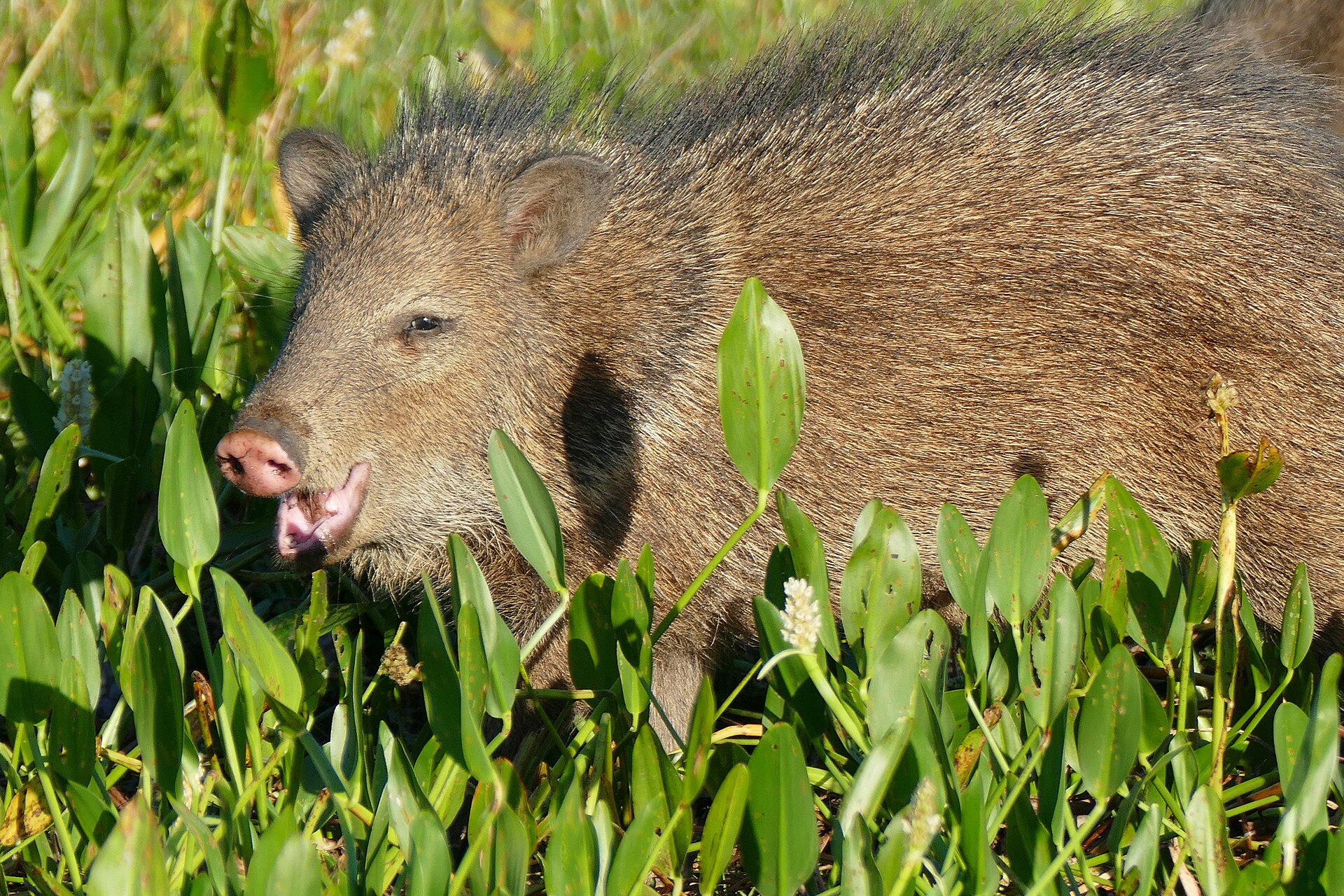
Animals around Pico de Orizaba National Park



A high volcano on the Veracruz–Puebla border
Pico de Orizaba National Park takes its name from the volcano also known as Citlaltépetl. The mountain stands on the border between Veracruz and Puebla, at the eastern end of the Trans-Mexican Volcanic Belt. At 5,636 metres (18,491 feet), it is Mexico’s highest mountain and North America’s highest volcano. Only Denali and Mount Logan rise higher on the continent. These are useful facts for trip planning, not just rankings: this is a very high mountain, and an outing toward its upper elevations needs a different approach from a lower-altitude walk. Start by deciding whether the goal is to experience the mountain’s setting or to attempt a high-elevation objective. That distinction should guide the amount of preparation, acclimatization, and specialist support considered before travel.
Plan around altitude, not a summit checklist
The defining planning consideration at Pico de Orizaba is its elevation. A summit height of 5,636 metres leaves little room for treating acclimatization as an afterthought. Build flexibility into the trip, allow time to adjust before going higher, and avoid making the summit a fixed obligation. Fitness alone is not a substitute for acclimatization. Headache, nausea, or unusual fatigue at elevation should prompt caution rather than a push to keep pace with an itinerary. Weather protection, drinking water, food, and a realistic turnaround plan belong in the preparation even when the intended outing stays below the top. Choose an objective that matches the group’s experience, and obtain current, route-specific advice before deciding what equipment or technical skills the day will require.
Understand the mountain’s volcanic character
Citlaltépetl comes from Náhuatl words meaning star and mountain. Its other name, Pico de Orizaba, identifies a volcano that is currently dormant but not extinct; its last eruption occurred during the nineteenth century. That distinction matters: a long interval without an eruption should not be read as a guarantee of future conditions. Check current advice from the responsible authorities before travel, alongside mountain weather information. The volcano is also the world’s second most prominent volcanic peak after Mount Kilimanjaro, a measure of its rise relative to surrounding terrain rather than a description of route difficulty. Neither prominence nor elevation establishes whether a particular approach is suitable for a visitor. Keep the mountain’s scale separate from practical access decisions, and confirm those details locally before committing to an outing.
Sample itineraries
- Pico de Orizaba orientation · 2 days
Use this as a planning outline, not a route description. Spend the first day assessing acclimatization and confirming local access. Keep the second day flexible for a conservative outing suited to conditions and experience; do not treat arrival as preparation for a summit attempt.
- Acclimatization-focused mountain visit · 3 days
Allow time to adjust before considering higher terrain on Citlaltépetl. Use the first two days for gradual activity and reassessment, then choose an outing appropriate to health, weather, and skills. Three days is not a guarantee of adequate acclimatization for the 5,636-metre summit.
Seasonal conditions
Spring
Spring; confirm local conditions before travel
Do not assume spring means mild conditions at high elevation. Plan around the mountain forecast and current access information rather than the season alone.
Summer
Summer; confirm local conditions before travel
Summer does not remove the demands of a 5,636-metre mountain. Carry protective layers and make plans conditional on weather, acclimatization, and the terrain selected.
Fall
Fall; confirm local conditions before travel
Check current mountain conditions before choosing an objective. Keep enough flexibility to reduce elevation gain or cancel an outing if weather or health makes it unsuitable.
Winter
Winter; confirm local conditions before travel
Prepare for cold exposure at elevation. Confirm terrain conditions and equipment needs locally rather than assuming a winter outing is a straightforward hike.
| Season | Window | Conditions |
|---|---|---|
| Spring | Spring; confirm local conditions before travel | Do not assume spring means mild conditions at high elevation. Plan around the mountain forecast and current access information rather than the season alone. |
| Summer | Summer; confirm local conditions before travel | Summer does not remove the demands of a 5,636-metre mountain. Carry protective layers and make plans conditional on weather, acclimatization, and the terrain selected. |
| Fall | Fall; confirm local conditions before travel | Check current mountain conditions before choosing an objective. Keep enough flexibility to reduce elevation gain or cancel an outing if weather or health makes it unsuitable. |
| Winter | Winter; confirm local conditions before travel | Prepare for cold exposure at elevation. Confirm terrain conditions and equipment needs locally rather than assuming a winter outing is a straightforward hike. |
Permits, fees & closures
Confirm current entry requirements, permits, and access arrangements with the park’s managing agency before travel.
Confirm current permits, fees, and closures with the managing agency before you go.
Hazards & regulations
- Altitude: Pico de Orizaba reaches 5,636 metres. Ascend gradually, monitor for altitude illness, and descend if symptoms develop or worsen.
- Cold and weather exposure: high-elevation objectives require protective clothing and a willingness to turn back when conditions deteriorate.
- Volcanic status: Citlaltépetl is dormant, not extinct. Check current official volcanic advisories before visiting.
What to pack for Pico de Orizaba National Park
- Insulating layers
- Windproof and waterproof outer layer
- Warm hat and gloves
- Sun protection
- Drinking water
- Food and extra snacks
- Personal medications
- First-aid kit
- Navigation tools appropriate to the planned outing
- Charged phone and backup power
- Headlamp
- Emergency shelter
Pico de Orizaba National Park FAQ
- Where is Pico de Orizaba?
- The volcano stands on the border of Veracruz and Puebla in Mexico, at the eastern end of the Trans-Mexican Volcanic Belt.
- How high is the mountain?
- Pico de Orizaba rises to 5,636 metres, or 18,491 feet. It is Mexico’s highest mountain and North America’s third-highest peak, after Denali and Mount Logan.
- What does Citlaltépetl mean?
- Citlaltépetl is the mountain’s Náhuatl name, combining words for star and mountain.
- Is Pico de Orizaba an extinct volcano?
- No. It is currently dormant but not extinct. Its last eruption took place during the 19th century. Consult current official advisories for travel decisions.
- Does a short visit allow enough time for a summit attempt?
- A short itinerary cannot guarantee acclimatization to 5,636 metres. Base any summit decision on health, mountain experience, current conditions, and qualified local guidance, not a fixed departure date.