



- Region
- Texas
- Country
- United States
- Best for
- fly fishing, fishing
- Best season
- Spring, Summer
- Permits
- A beach parking permit is required for des…
- Managed by
- Corpus Christi Parks and Recreation Department
Plan with verified data
South Bay, Port Aransas trip tools
Tools for a trip here
Picked for how, when and where you're going. Free, no signup.
How to get there
Port Aransas is situated 180 miles southeast of San Antonio, Texas.
Sources: corpuschristitx.gov · Wikipedia · Wikivoyage. Confirm road and trailhead conditions with the managing agency before you leave.
Texas · United States · Season: Spring through fall
- Canoeing
- Kayaking
- Fishing
- Winter Camping
- Skiing
- Sea Kayaking
- Beachcombing
Overview
South Bay in Port Aransas is a highly accessible and productive redfish flat, making it a favorite for both beginners and seasoned anglers. Bordered by Mustang Island and the Corpus Christi Ship Channel, it features extensive shallow grass flats, sand pockets, and scattered shell. Its relatively protected nature from strong northerly winds, combined with decent tidal influence from the ship channel, keeps bait and fish moving. Redfish here are often found tailing in the grass or cruising the edges of potholes. The beauty of South Bay is its accessibility: you can launch a kayak or skiff easily from numerous points in Port Aransas. Wading is generally good over firm sand and shell, though some areas are softer grass. Best fished in fall, winter, and spring. While convenient, this also means it's a popular spot, so expect company, especially on weekends. Early mornings or weekdays are best to avoid crowds and have the prime water to yourself.
Why it stands out
Excellent accessibility from Port Aransas
Expansive grass flats with numerous potholes
Consistent tailing redfish action
Generally protected from northerly winds
Suitable for both kayak and small skiff anglers
Know before you go
Can get crowded, especially on weekends and holidays
Propeller scars (prop dredging) in some areas
Can be affected by ship channel traffic and wakes
Summer heat and active boat traffic can push fish deeper
Planning notes
Where: Texas, United States Best season: Spring through fall Good for: Fly Fishing, Fishing Featured on: Top 10 Fly Fishing Flat Spots for Redfish on the Texas Middle Coast (#4) Access point: Port Aransas, TX, USA
Check current permits, closures and fire restrictions with the managing agency before you commit to dates.
Field notes
- Excellent accessibility from Port Aransas
- Expansive grass flats with numerous potholes
- Consistent tailing redfish action
- Generally protected from northerly winds
- Suitable for both kayak and small skiff anglers
Where on earth
Satellite imagery flying in from a world view to South Bay, Port Aransas, United States. Use the + / − buttons, or click the map to zoom with your scroll wheel; drag to pan and pinch to zoom on touch.
Coordinates
- Decimal degrees
- 27.8339, -97.0611
- Latitude (DMS)
- 27° 50′ 2.1″ N
- Longitude (DMS)
- 97° 3′ 40.0″ W
Coordinates are an access-point reference for South Bay, Port Aransas, not a route. Carry a paper map and confirm trailhead or put-in access with the managing agency before you go.
Topic summary
South Bay in Port Aransas is a highly accessible and productive redfish flat, making it a favorite for both beginners and seasoned anglers.
Key takeaways
- Region: Texas
- Country: United States
- Best season: Spring through fall
- Good for: fly fishing, fishing
- Coordinates: 27.834, -97.061
Intended uses
- fly fishing
- fishing
Climate suitability
Spring through fall
Keep planning
Popular pursuits at South Bay, Port Aransas
- Canoeing
Paddle routes, portages, and put-ins.
- Kayaking
Sheltered and open-water paddling lines.
- Fishing
Resident gamefish, seasons, and the water that holds them.
- Winter Camping
Cold-season travel and camp craft; layering matters more than mileage.
- Skiing
Ski-touring access when the road closes for the season.
- Sea Kayaking
Coastal crossings, tides, and protected camps.
Animals around South Bay, Port Aransas

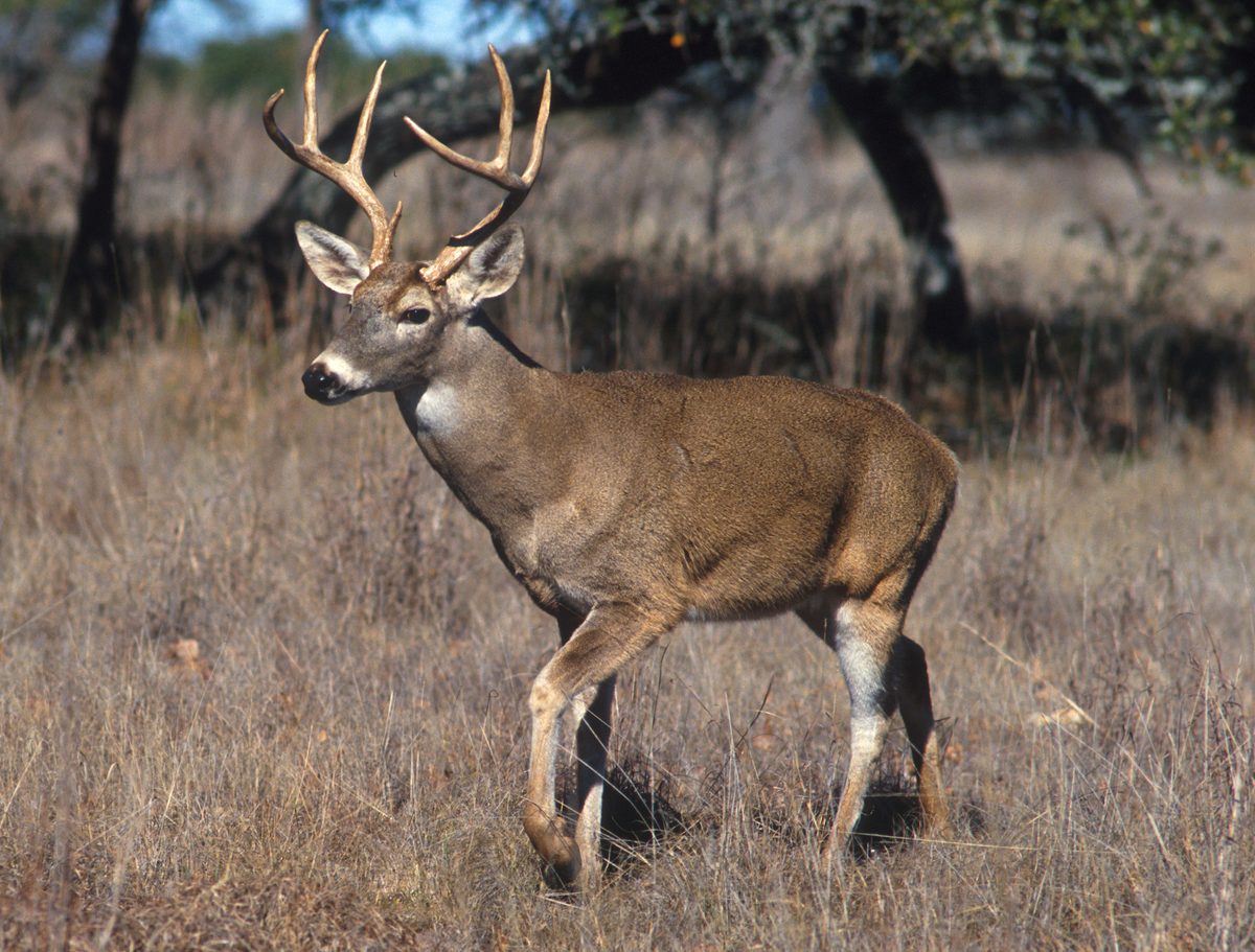

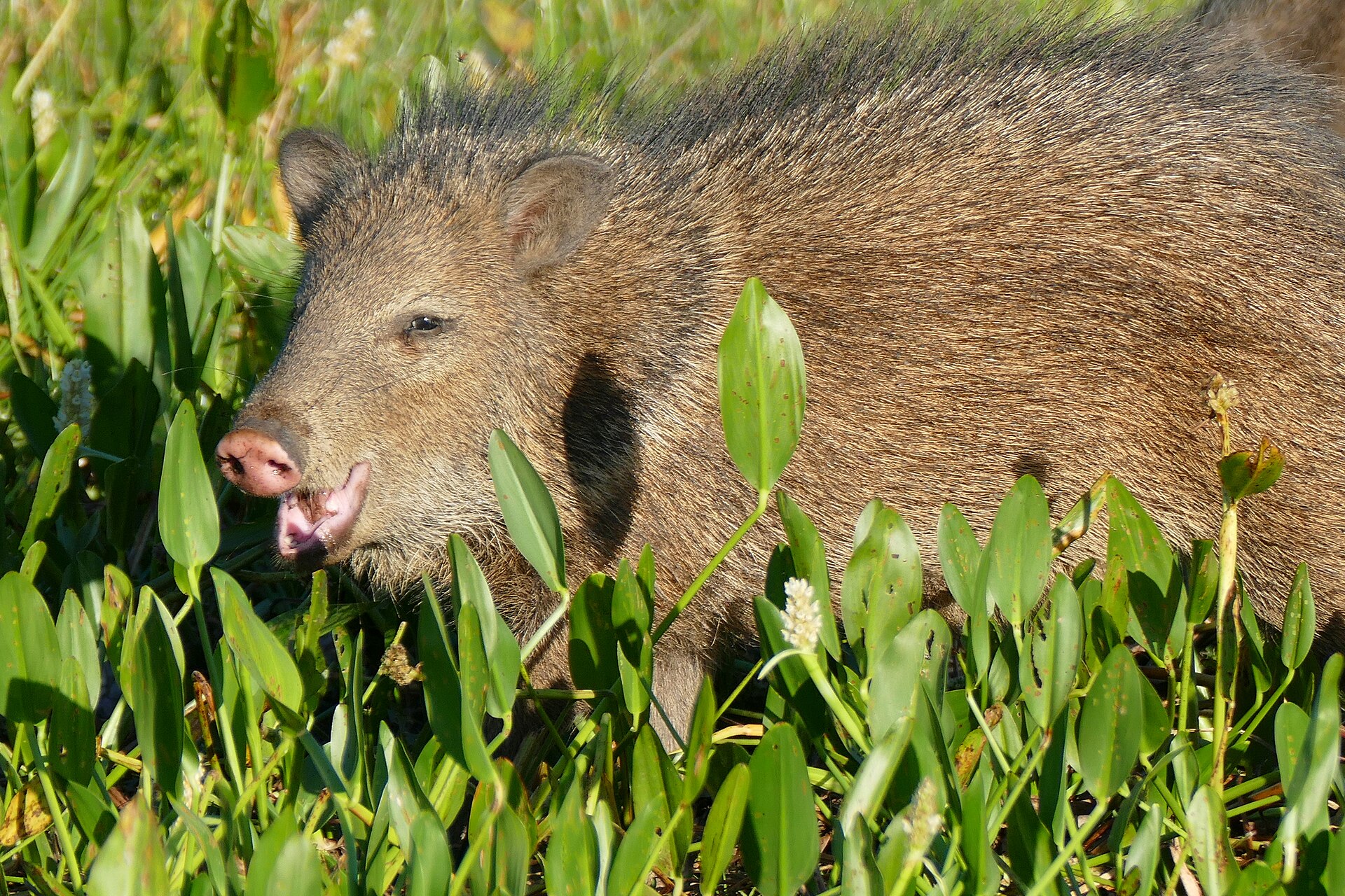
Coastal Gateway
Port Aransas, located in Nueces County, Texas, is the sole established town on Mustang Island. This barrier island sits north of Padre Island, forming one of the longest barrier islands along the Texas coast. The area is bordered by Corpus Christi Bay, the Gulf of Mexico, the Lydia Ann Ship Channel, and the Corpus Christi Ship Channel. As a coastal community, Port Aransas offers access to various beach environments. The Corpus Christi Parks and Recreation Department manages access to Gulf Coast beaches in the wider Corpus Christi area, including those requiring parking permits. These permits help maintain clean and safe beach environments for all visitors, with proceeds reinvested into beach upkeep.
Beach Access and Exploration
The Gulf Beaches around Port Aransas, part of the larger Corpus Christi Gulf Coast, provide diverse opportunities for beach activities. Visitors can find areas requiring beach parking permits, free parking zones, state park sections with associated fees, and pedestrian-only stretches. The experience is centered around the expansive sand and surf that defines this part of the Texas coast. The required beach parking permits, valid for a full year, are designed to ensure responsible enjoyment of these natural spaces and prevent citations for unauthorized parking in designated areas.
Preserving the Coastline
Maintenance of the Gulf Beaches is supported by the sale of beach parking permits. These annual permits are available at various retail locations and city offices throughout the Corpus Christi area, including Padre Island, Flour Bluff, Aransas Pass, and Rockport. By purchasing a permit, visitors contribute directly to the ongoing efforts of the Corpus Christi Parks and Recreation Department to keep the beaches pristine and safe for public use. This system helps fund essential services that protect the natural beauty and recreational value of the coastal environment for residents and visitors alike.
Sample itineraries
- Beach Day Excursion · 1 day
Spend a full day exploring the Gulf Coast beaches around Port Aransas. Locate designated parking areas using a permit map and guide. Enjoy the sand and surf, moving between permit-required, free, and pedestrian-only zones as desired. Ensure you have the necessary beach parking permit if planning to use permit-required areas.
- Coastal Exploration Weekend · 2 days
Dedicate a weekend to experiencing the broader coastal environment. On one day, focus on beach activities, utilizing a valid beach parking permit for convenient access to designated areas. On the second day, explore other aspects of Mustang Island or the surrounding Corpus Christi Bay, such as waterways. This allows for a comprehensive understanding of the diverse aquatic and terrestrial features of the region.
Seasonal conditions
Spring
March - May
Spring offers generally mild temperatures suitable for beach activities. Be aware that conditions can be variable.
Summer
June - August
Summers are considered the best time to enjoy Corpus Christi's Gulf Beaches, with warm temperatures ideal for swimming and sunbathing. Expect higher visitation during this period.
Fall
September - November
Fall brings a return to milder temperatures, often pleasant for outdoor activities. Water temperatures remain suitable for some activities early in the season.
Winter
December - February
Winter months are generally cooler, with conditions less suitable for typical beach activities like swimming. However, opportunities for quiet beach walks and wildlife viewing may be present.
| Season | Window | Conditions |
|---|---|---|
| Spring | March - May | Spring offers generally mild temperatures suitable for beach activities. Be aware that conditions can be variable. |
| Summer | June - August | Summers are considered the best time to enjoy Corpus Christi's Gulf Beaches, with warm temperatures ideal for swimming and sunbathing. Expect higher visitation during this period. |
| Fall | September - November | Fall brings a return to milder temperatures, often pleasant for outdoor activities. Water temperatures remain suitable for some activities early in the season. |
| Winter | December - February | Winter months are generally cooler, with conditions less suitable for typical beach activities like swimming. However, opportunities for quiet beach walks and wildlife viewing may be present. |
Permits, fees & closures
A beach parking permit is required for designated areas on Corpus Christi's Gulf Beaches, which include parts of Padre Island and the Port Aransas area. The permit is valid for a full year from January 1 to December 31. Disabled U.S. Veterans with a 50% or greater service-related disability (verified by a current VA letter and state driver’s license or permanent INDEF 100% Disabled American Veteran Identification and Privilege Card) are eligible for a free annual permit, limited to one per applicant and one vehicle entry.
Fees: $12.00 for the annual beach parking permit. Free for qualifying disabled U.S. Veterans.
Official source: Beach Parking Permits | City of Corpus Christi · Verified September 11, 2026
Hazards & regulations
- Unpermitted parking in designated areas may result in a citation.
- Stage 1 drought restrictions may be in effect; confirm local water conservation status.
- Coastal weather can change; monitor local forecasts.
What to pack for South Bay, Port Aransas
- Beach parking permit (if applicable)
- Sunscreen
- Hat
- Sunglasses
- Beach towels
- Water bottle
- First-aid kit
- Appropriate clothing for weather conditions
- Map of beach parking zones
South Bay, Port Aransas FAQ
- Where can I purchase a beach parking permit?
- Beach parking permits are sold year-round at various locations including Stripes (Padre Island, Flour Bluff, & select central Corpus Christi stores), H-E-B (Aransas Pass, Corpus Christi, Portland & Rockport), Padre Balli Park (Nueces County Headquarters Office), Texas A&M University-Corpus Christi (University Center, Unit 5793, UC 107), Central Cashiering at Corpus Christi City Hall, Circle K (Padre Island & Flour Bluff), and Murphy Oil USA (Alice, Aransas Pass, Corpus Christi, Portland & Rockport).
- How long is the beach parking permit valid?
- The permit is valid for a full year, from January 1 to December 31.
- What is the purpose of the beach parking permit fee?
- All proceeds from permit sales are reinvested to maintain clean, safe beaches.
- Are there any exemptions for the beach parking permit fee?
- Annual beach parking permits are free for disabled U.S. Veterans who can present a current year letter from the VA verifying 50% or greater service-related disability and a state driver’s license or permanent INDEF 100% Disabled American Veteran Identification and Privilege Card. Free permits are available at the Corpus Christi Parks and Recreation Administrative Office (400 Mann Street – Suite 200) or the Corpus Christi Beach Office (8185 Hwy 361).
- Where can I find more information about beach parking areas?
- A parking guide and map indicating permit-required, free parking, state park fee, and pedestrian-only beach areas is available from the Corpus Christi Parks and Recreation Department.