


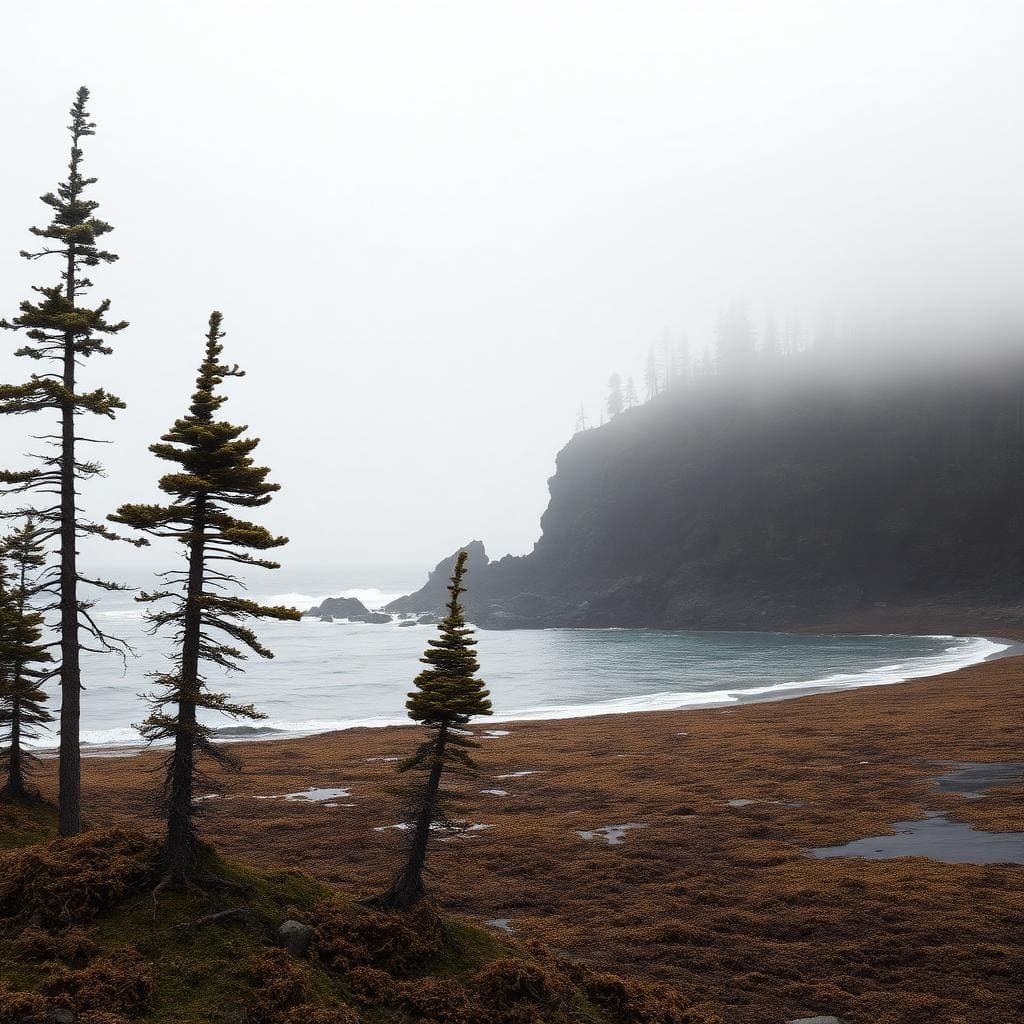
Capitol Reef — Halls Creek Narrows
A 20-mile Waterpocket Fold walk with a slot-narrows crux and a Muley Twist connector.
Where on earth
Satellite imagery flying in from a world view to Capitol Reef — Halls Creek Narrows, United States.
- Region
- Utah, USA
- Country
- United States
- Biome
- Slickrock fold (1,300–1,900 m)
- Best season
- April – May, October
- Difficulty
- moderate
Known for
- Backpacking
- Hiking
- Desert Hiking
- Canyoneering
Key takeaways
- Biome: Slickrock fold (1,300–1,900 m)
- Best season: April – May, October
- Difficulty: moderate
- Top activity: backpacking
Loading live weather & climate for Capitol Reef — Halls Creek Narrows…
Topic summary
A 20-mile Waterpocket Fold walk with a slot-narrows crux and a Muley Twist connector.
Key takeaways
- Difficulty: moderate
- Best season: April – May, October
Intended uses
backpacking
Climate suitability
Slickrock fold (1,300–1,900 m)
Verification notes
Last verified January 1, 1970.
Region
United States
Biome
Slickrock fold (1,300–1,900 m)
Difficulty
moderate







