



Reader rating
Rate it and you move it. Community ratings re-rank this product inside its Top 10 list.
Expert-picked, reader-ranked. Our editors choose the products and the launch order; member star ratings move picks up or down over time.
Situated near the southern tip of Texas in the Lower Rio Grande Valley, Laguna Atascosa spans nearly 100,000 acres of coastal lomas, thorn scrub, and hyper-saline bays. It is internationally renowned as the primary wintering ground for North American redheads; as much as 80 percent of the continental redhead population winters along the adjacent Laguna Madre and feeds in the refuge's fresh and brackish wetlands. Los Fresnos and Harlingen offer the closest basecamp options. Access is via the Bayside Wildlife Drive and secondary hiking and biking trails that reach remote mudflats. The terrain is flat, but high humidity and winter heat can make hiking tiring. Late November through February is the target window to catch the highest waterfowl density. Refuge entry requires a modest vehicle fee or federal pass. Watch out for prickly pear, rattlesnakes, and thorn scrub if you step off marked paths. Because this is a transition zone between tropical and temperate systems, you will encounter rare whistling-ducks alongside traditional northern migrants.
Pros
- Wintering grounds for up to eighty percent of continental redheads
- Rare subtropical waterfowl mingle with traditional arctic migrants
- Gravel-friendly tracks allow quiet bicycle access to coastal levees
- Exceptional coastal birding with minimal commercial development
Cons
- Dense thornscrub and venomous snakes restrict all off-trail foot travel
- High heat and humidity persist even during winter migration windows
- Zero shade along the open coastal flats and impoundment levees
Best uses
- Winter waterfowl photography
- Gravel bike birding tours
- Spotting Central Flyway divers
- Coastal wildlife observation
Specifications
- Location
- Cameron County, Texas
- Acreage
- Approximately 97,000 acres
- Primary Flyway
- Central Flyway
- Peak Window
- Late November through February
- Keystone Species
- Redhead duck
- Entry Requirement
- Federal Duck Stamp, Interagency Pass, or daily fee
Best for
Winter waterfowl photography, Gravel bike birding tours, Spotting Central Flyway divers, Coastal wildlife observation
Sitting at the sub-tropical hem of South Texas, this sprawling coastal reserve anchors the southern terminus of the Central Flyway across nearly 100,000 acres. It is an ecological collision zone where Gulf maritime systems meet semi-arid Tamaulipan thornscrub. Rather than the freshwater prairie potholes of the north or flooded hardwood timber of the Mississippi delta, the landscape here is defined by hypersaline lagoons, clay dunes known locally as lomas, and coastal prairies that spill directly into the shallow flats of the Laguna Madre. The undeniable draw for waterfowl enthusiasts is the redhead duck. Upwards of three-quarters of the continent's wintering redheads funnel into these waters to graze on shoalgrass beds and seek fresh water at inland resacas. Alongside them, massive rafts of northern pintails, lesser scaup, American wigeon, and resident black-bellied whistling-ducks move in rhythm with coastal tides and seasonal winds. Visiting requires a certain respect for the terrain. This is rugged, unforgiving country where virtually every plant carries thorns, humidity lingers even in midwinter, and western diamondback rattlesnakes share ground with elusive ocelots. Those willing to navigate the dirt tracks and wind-beaten shores are rewarded with an unmatched theater of coastal wintering waterfowl.
Coastal Lomas and Hypersaline Bays
The terrain at the refuge is exceptionally flat, but minute shifts in elevation dictate entirely distinct ecological zones. The interior is blanketed in dense Tamaulipan thornscrub, dominated by mesquite, ebony, and prickly pear cactus. As you move east toward the coast, the brush gives way to salt flats, tidal mudflats, and elevated clay dunes known as lomas, which support stunted coastal brush. Beyond lies the Laguna Madre, a shallow, hypersaline lagoon protected from the open Gulf of Mexico by Padre Island. Because the lagoon has few freshwater inputs and minimal tidal exchange, salinity levels often exceed that of typical seawater. This hyper-saline environment nurtures vast meadows of shoalgrass, the primary winter forage that draws hundreds of thousands of diving ducks from the northern prairies straight to this southern tip of Texas.
The Winter Redhead Epicenter
From late November through February, waterfowl density reaches numbers rarely seen on open water anywhere else on the continent. Redheads dominate the open bay, floating in rafts that stretch across horizons. While the saline Laguna Madre provides their primary food source, the birds must periodically fly inland to freshwater impoundments and natural resacas on the refuge to purge excess salt from their systems. This predictable daily movement creates exceptional flight-line observation. Northern pintails congregate along the shallow shorelines, while green-winged teal and northern shovelers crowd the protected inland borrow pits. Adding to the diversity are subtropical species like fulvous and black-bellied whistling-ducks, which mingle with classic arctic-nesting migrants, offering an avian composition that is entirely unique to the Texas-Mexico border corridor.
Navigating the Refuge Tracks
Primary vehicular viewing is centered on the Bayside Wildlife Drive, a fifteen-mile loop that skirts both coastal flats and dense thornscrub. Portions of the drive were previously closed to passenger vehicles but have been maintained for walking and bicycling, making gravel-ready bikes an ideal tool for scouting remote mudflats. Beyond the main drive, hiking trails like the Mesquite and Paisano trails loop through interior brush country, while longer two-track service roads access distant shoreline overlooks. Foot travel on exposed coastal levees can be deceptive; distances are long, the coastal breeze offers a false sense of cooling, and there is zero canopy cover once you leave the scrub. A solid pair of boots and a reliable spotting scope are non-negotiable for identifying distant rafts on the bay.
Seasonal Weather Windows
Midwinter is the clear target for waterfowl migration, with bird numbers peaking after northern cold fronts—known as blue northers—punch down through the Great Plains. These fronts drop temperatures rapidly, push new flights of birds onto the coast, and bring clear, crisp air that aids long-distance glassing. However, winter in the Lower Rio Grande Valley is often balmy; daytime highs in December and January frequently climb into the high seventies, accompanied by suffocating coastal humidity. Summer and early autumn should be avoided due to brutal heat, relentless mosquitoes, and tropical storm cycles. Even in peak winter, wind is a constant factor. Strong southeasterly breezes off the Gulf churn the shallows, frequently forcing birds to shelter on the leeward edges of interior impoundments.
Permits and Access Logistics
The refuge is open year-round from sunrise to sunset, with the visitor center located near Los Fresnos offering maps, interpretive displays, and current wetland status reports. An entrance fee is required per vehicle, though an active Federal Duck Stamp or America the Beautiful interagency pass covers entry. Seasonal hunting on the refuge is tightly managed through Texas Parks and Wildlife drawn permit systems, primarily for white-tailed deer and invasive nilgai antelope, though specific seasonal waterfowl opportunities exist on designated coastal tracts. Non-consumptive users should always check the hunt schedule before heading into backcountry units. Basecamp infrastructure on the refuge is day-use only, but ample lodging and supplies are readily available twenty miles away in Harlingen or Brownsville.
Thorns, Heat, and Coastal Hazards
This environment punishes careless wanderers. Off-trail bushwhacking is virtually impossible and strictly discouraged due to the dense, armored nature of the thornscrub, which hides sizable populations of western diamondback rattlesnakes. Ticks, chiggers, and biting midges are active whenever the wind dies down, making long pants and permethrin-treated layers essential despite high ambient temperatures. If you ride gravel bikes along the refuge roads, run tubeless tires with fresh sealant; the dried thorns of honey mesquite and goatheads easily pierce standard butyl tubes. Drink far more water than you think you need, as the combination of salt air, coastal wind, and persistent subtropical sunshine will dehydrate you quickly during long treks across open coastal levees.
How we chose
We built this ranking from land-manager and agency sources, permit records and published trip reports. Each of the 10 places was compared against the same criteria below. This is desk research unless a pick is marked field tested.
- Quality of the terrain
- Landscape, route variety, and whether the place rewards multiple days rather than one overlook.
- Season and weather windows
- How long the reliable window is, and how badly the shoulder seasons punish a bad forecast.
- Access and permits
- Trailhead logistics, permit odds, quotas, and how much lead time a trip realistically takes.
- Solitude vs. crowding
- How far you have to walk before the place feels like wilderness instead of a queue.
- Wildlife and ecology
- What you can reasonably expect to see, and what you have to plan around.
- Risk and skill required
- Navigation, water crossings, exposure, and rescue distance — stated plainly.
Laguna Atascosa National Wildlife Refuge — frequently asked questions
- Is Laguna Atascosa National Wildlife Refuge worth the trip?
- We rank it #6 in Central Flyway Waterfowl Refuges. Situated near the southern tip of Texas in the Lower Rio Grande Valley, Laguna Atascosa spans nearly 100,000 acres of coastal lomas, thorn scrub, and hyper-saline bays. It is internationally renowned as the primary wintering ground for North American redheads; as much as 80 percent of the continental redhead…
- Who is Laguna Atascosa National Wildlife Refuge best for?
- Best for winter waterfowl photography, gravel bike birding tours, spotting central flyway divers and coastal wildlife observation. Standouts: wintering grounds for up to eighty percent of continental redheads and rare subtropical waterfowl mingle with traditional arctic migrants.
- What are the drawbacks of Laguna Atascosa National Wildlife Refuge?
- Dense thornscrub and venomous snakes restrict all off-trail foot travel, High heat and humidity persist even during winter migration windows and Zero shade along the open coastal flats and impoundment levees.
- What are the key details for Laguna Atascosa National Wildlife Refuge?
- Location: Cameron County, Texas · Acreage: Approximately 97,000 acres · Primary Flyway: Central Flyway · Peak Window: Late November through February · Keystone Species: Redhead duck
- Coastal Lomas and Hypersaline Bays — what should I know about the Laguna Atascosa National Wildlife Refuge?
- The terrain at the refuge is exceptionally flat, but minute shifts in elevation dictate entirely distinct ecological zones. The interior is blanketed in dense Tamaulipan thornscrub, dominated by mesquite, ebony, and prickly pear cactus.
- The Winter Redhead Epicenter — what should I know about the Laguna Atascosa National Wildlife Refuge?
- From late November through February, waterfowl density reaches numbers rarely seen on open water anywhere else on the continent. Redheads dominate the open bay, floating in rafts that stretch across horizons.
Where on earth
Satellite imagery flying in from a world view to Laguna Atascosa National Wildlife Refuge, Texas, United States. Use the + / − buttons, or click the map to zoom with your scroll wheel; drag to pan and pinch to zoom on touch.
Laguna Atascosa National Wildlife Refuge, 22688 Buena Vista Blvd, Los Fresnos, TX 78566, USA · 26.229, -97.347
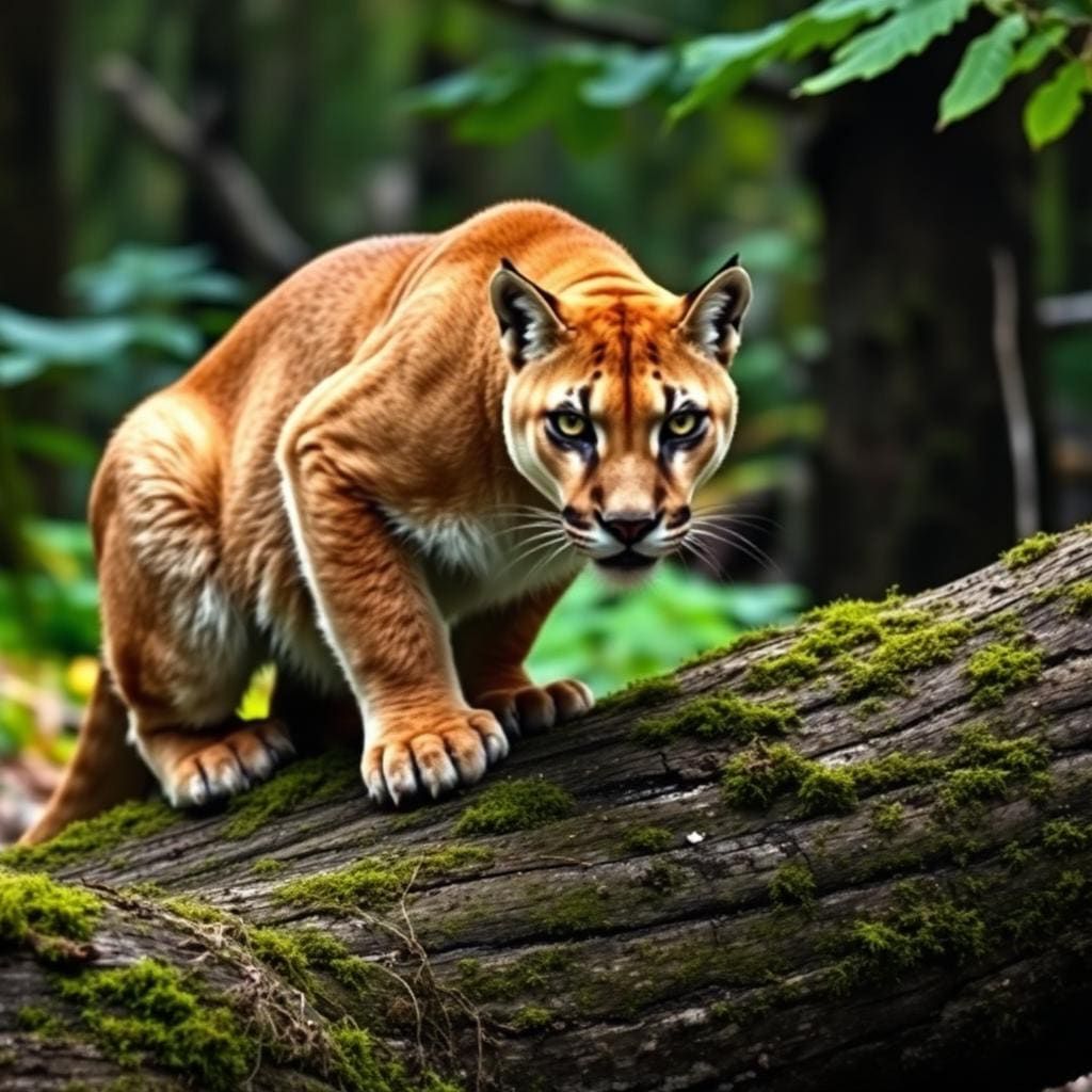
Wildlife found around Laguna Atascosa National Wildlife Refuge

Compare side by side
Put the Laguna Atascosa National Wildlife Refuge against any other pick on this list — specs, price, pros, cons and reader ratings.