



Reader rating
Rate it and you move it. Community ratings re-rank this product inside its Top 10 list.
Expert-picked, reader-ranked. Our editors choose the products and the launch order; member star ratings move picks up or down over time.
Set in the Chihuahuan desert against the Chupadera Mountains, Bosque del Apache manages 57,000 acres along the Rio Grande corridor. It is famous for its intensive water management: staff flood former agricultural fields to produce corn and wetland tubers that support tens of thousands of snow geese, Ross's geese, and sandhill cranes from November through January. Socorro is 20 miles north and serves as the staging base. The refuge features two 12-mile one-way auto tour loops divided into northern farm fields and southern seasonal marshes. Fitness demands are minimal, with several accessible viewing decks and short nature trails. Sunrise and sunset fly-offs from the main roosting ponds are unmatched visual spectacles. A daily entrance fee is required (or Federal Duck Stamp / America the Beautiful pass). The trade-off is crowd density: November's crane festival and peak holiday weekends see heavy vehicle traffic on the tour loops. Morning temperatures frequently hover in the teens, requiring heavy parkas despite the Southwest desert location.
Pros
- World-class sunrise and sunset waterfowl fly-offs yards from parking areas
- Extensive one-way auto tour routes accommodate low-mobility visitors
- Incredible diversity of raptors hunting over managed wetland units
- Dry, high-desert winter air provides exceptionally clear optical conditions
Cons
- Pre-dawn temperatures routinely sit in the teens, requiring winter alpine layers
- Tour loops suffer vehicle congestion during peak migration weekends
- Washboard gravel routes generate heavy road dust that coats sensitive optics
Best uses
- Winter telephoto bird photography
- Low-mobility wildlife scouting
- Sandhill crane viewing
- Raptor and waterfowl observation
Specifications
- Managing Agency
- U.S. Fish and Wildlife Service
- Acreage
- 57,331 acres
- Nearest Hub
- Socorro, New Mexico (20 miles)
- Peak Window
- Mid-November through January
- Pass Acceptance
- Federal Duck Stamp, America the Beautiful, Daily Fee
- Primary Route
- Two 12-mile one-way auto tour loops
Best for
Winter telephoto bird photography, Low-mobility wildlife scouting, Sandhill crane viewing, Raptor and waterfowl observation
Sitting in the middle Rio Grande valley south of Socorro, Bosque del Apache stands out as an engineered wetland oasis carved into the Chihuahuan Desert. Managed seasonal floodwaters turn arid river terrace into critical wintering habitat for tens of thousands of sandhill cranes, snow geese, Ross's geese, and assorted dabbling ducks. Flanked by the Chupadera Mountains, the sharp contrast between parched desert scrub and flooded cornfields makes this one of the most visually distinctive winter refuges in North America. The rhythm of a visit here is dictated entirely by light and roosting habits. The morning fly-off, where massive rafts of geese launch en masse from shallow roost ponds against a purple desert sky, is legendary among birders and photographers. Midday is spent tracing the agricultural units where cranes dig for marsh tubers and waste grain, followed by a late afternoon return to the open water before sunset brings the flocks back to safety. Physical exertion here is minimal, with the bulk of the viewing conducted from vehicle pullouts, observation decks, and short, level boardwalks. The real challenge is atmospheric: do not let the Southwest address fool you. Pre-dawn winter temperatures routinely plunge into the teens, coating water units in crusts of ice and penalizing anyone who neglected to pack serious cold-weather gear.
Desert Floodplain Geography
The refuge occupies a flat, braided stretch of the Rio Grande rift basin bounded by barren volcanic uplands. Because the river has been heavily altered by dams upstream, the wetlands at Bosque del Apache are largely artificial, sustained through an intricate network of irrigation canals, dikes, and water-control structures. The northern half is dominated by managed farm fields, where refuge staff and cooperative farmers grow corn to provide high-calorie winter fuel for incoming flocks. The southern half transitions into native seasonal wetlands, willow swamps, and alkali meadows. This juxtaposition creates a compact ecosystem where migrating birds find deep water for predator protection at night and open agricultural units for feeding during the day, all within an easily traversable geographic footprint.
High Desert Winter Climate
Winter weather in central New Mexico catches unprepared visitors off guard. Between late November and early January, clear desert skies allow daytime heat to radiate away rapidly, driving pre-dawn temperatures into the single digits or teens. Frost often clings to the reeds, and biting valley breezes make an hour standing by the Flight Deck feel like an exercise in arctic patience. Good windproof layers, heavy gloves, and insulated boots are mandatory if you plan to wait for sunrise blast-offs. By midday, intense high-altitude sun usually pushes temperatures into the upper forties or fifties, thawing frozen canal edges and creating sharp thermals before conditions plummet again as soon as the sun dips behind the Chupaderas.
Auto Tour Navigation Strategy
The primary avenue for exploring the refuge is a pair of interconnected, gravel 12-mile tour loops known as the North and South Loops. Both are configured as one-way roads to manage vehicle flow. The North Loop skirts the agricultural units and is the prime zone for watching cranes, wild turkeys, and mule deer foraging in harvested corn stubble. The South Loop meanders through marshland, cattail sloughs, and open ponds favored by pintails, shovelers, and wading birds. Pulling fully off onto shoulders is required whenever stopping, and seasoned observers know that staying inside your truck often yields better, closer views than stepping out, as wintering birds treat vehicles as harmless moving blinds.
Flyway Species and Diversity
Sandhill cranes and light geese grab the headlines, but the refuge is a critical stop for a broad spectrum of Central Flyway migrants. Waterfowl numbers peak in December, with dense concentrations of mallards, northern pintails, green-winged teal, and gadwalls packing the moist-soil units. Abundant prey brings an exceptional concentration of raptors. Bald eagles hunt the waterfowl roosts throughout the winter, while northern harriers quarter low over the grass fields, and prairie falcons patrol the desert margins. Beyond birds, the riparian corridors sustain robust herds of desert mule deer, javelinas, and coyotes, the latter regularly seen stalking the margins of goose flocks in broad daylight.
Permits and Logistics
Access requires a standard daily recreation fee or an accepted federal pass, such as the Federal Duck Stamp or an America the Beautiful Interagency Pass, which can be validated at the visitor center or automated fee kiosks. The refuge opens an hour before sunrise and closes an hour after sunset, matching the peak bird flight windows. Socorro provides the closest fuel, groceries, and basic lodging, making it the practical basecamp for multiple days of dawn patrols. Primitive and RV camping are not permitted on the refuge itself, so those wanting to pitch a tent must look to nearby Bureau of Land Management parcels or state parks along the Rio Grande corridor.
Crowds and Field Etiquette
The trade-off for such reliable bird concentrations is heavy human traffic. During the annual crane festival in November and across holiday weekends, the tour loops turn into a low-gear procession of sedans and massive camera setups. The main viewing decks can feel like crowded stadium sidelines before dawn. Good etiquette requires dimming headlights when idling along the roost ponds, keeping noise to an absolute whisper during the pre-flight staging, and never stepping off designated roads or levee tops into closed waterfowl resting zones. Dust is another factor; gravel roads turn bone-dry by midday, so keep cameras sealed in dry bags while driving.
How we chose
We built this ranking from land-manager and agency sources, permit records and published trip reports. Each of the 10 places was compared against the same criteria below. This is desk research unless a pick is marked field tested.
- Quality of the terrain
- Landscape, route variety, and whether the place rewards multiple days rather than one overlook.
- Season and weather windows
- How long the reliable window is, and how badly the shoulder seasons punish a bad forecast.
- Access and permits
- Trailhead logistics, permit odds, quotas, and how much lead time a trip realistically takes.
- Solitude vs. crowding
- How far you have to walk before the place feels like wilderness instead of a queue.
- Wildlife and ecology
- What you can reasonably expect to see, and what you have to plan around.
- Risk and skill required
- Navigation, water crossings, exposure, and rescue distance — stated plainly.
Bosque del Apache National Wildlife Refuge — frequently asked questions
- Is Bosque del Apache National Wildlife Refuge worth the trip?
- We rank it #5 in Central Flyway Waterfowl Refuges. Set in the Chihuahuan desert against the Chupadera Mountains, Bosque del Apache manages 57,000 acres along the Rio Grande corridor. It is famous for its intensive water management: staff flood former agricultural fields to produce corn and wetland tubers that support tens of thousands of snow geese, Ross's geese, and…
- Who is Bosque del Apache National Wildlife Refuge best for?
- Best for winter telephoto bird photography, low-mobility wildlife scouting, sandhill crane viewing and raptor and waterfowl observation. Standouts: world-class sunrise and sunset waterfowl fly-offs yards from parking areas and extensive one-way auto tour routes accommodate low-mobility visitors.
- What are the drawbacks of Bosque del Apache National Wildlife Refuge?
- Pre-dawn temperatures routinely sit in the teens, requiring winter alpine layers, Tour loops suffer vehicle congestion during peak migration weekends and Washboard gravel routes generate heavy road dust that coats sensitive optics.
- What are the key details for Bosque del Apache National Wildlife Refuge?
- Managing Agency: U.S. Fish and Wildlife Service · Acreage: 57,331 acres · Nearest Hub: Socorro, New Mexico (20 miles) · Peak Window: Mid-November through January · Pass Acceptance: Federal Duck Stamp, America the Beautiful, Daily Fee
- Desert Floodplain Geography — what should I know about the Bosque del Apache National Wildlife Refuge?
- The refuge occupies a flat, braided stretch of the Rio Grande rift basin bounded by barren volcanic uplands. Because the river has been heavily altered by dams upstream, the wetlands at Bosque del Apache are largely artificial, sustained through an intricate network of irrigation canals, dikes, and water-control…
- High Desert Winter Climate — what should I know about the Bosque del Apache National Wildlife Refuge?
- Winter weather in central New Mexico catches unprepared visitors off guard. Between late November and early January, clear desert skies allow daytime heat to radiate away rapidly, driving pre-dawn temperatures into the single digits or teens.
Where on earth
Satellite imagery flying in from a world view to Bosque del Apache National Wildlife Refuge, New Mexico, United States. Use the + / − buttons, or click the map to zoom with your scroll wheel; drag to pan and pinch to zoom on touch.
Bosque del Apache Nat'l Wildlife Refuge Visitr Ctr, 1001 NM-1, San Antonio, NM 87832, USA · 33.805, -106.891
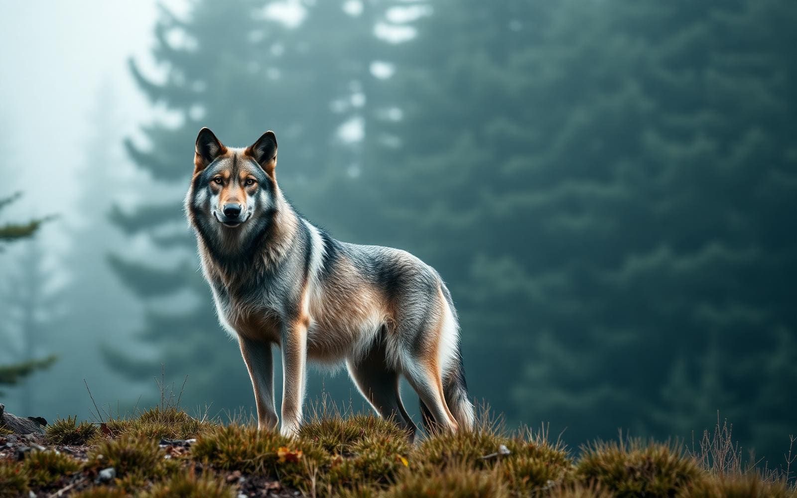
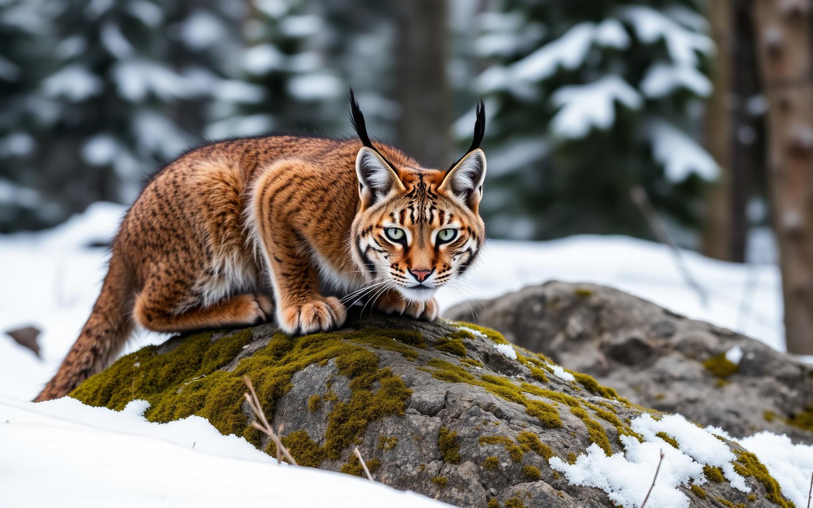
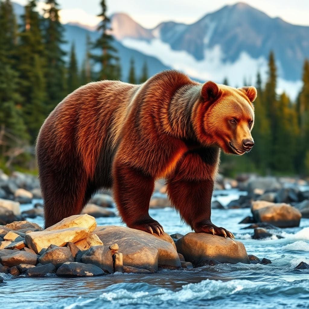
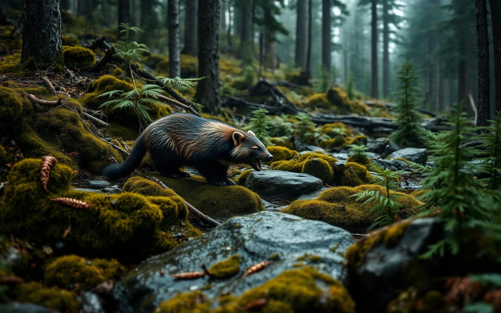
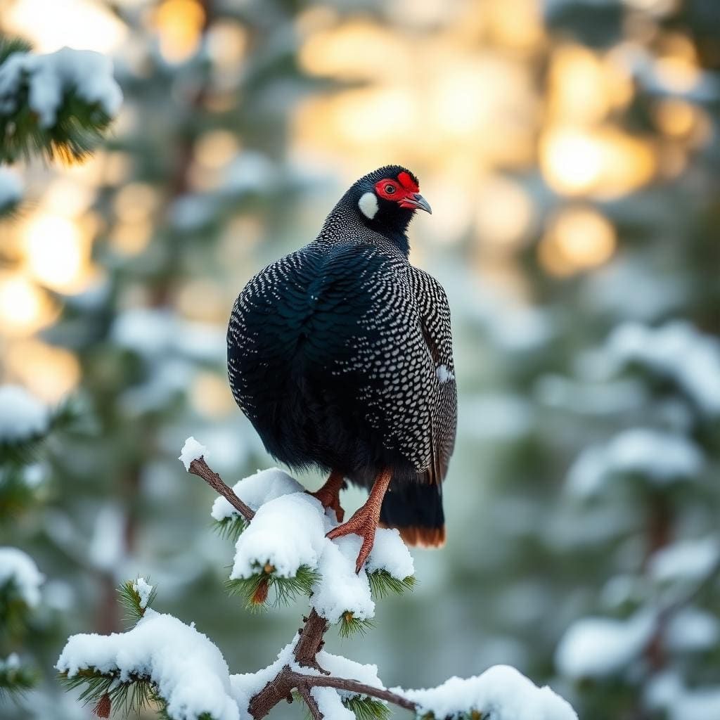
Wildlife found around Bosque del Apache National Wildlife Refuge



Compare side by side
Put the Bosque del Apache National Wildlife Refuge against any other pick on this list — specs, price, pros, cons and reader ratings.