



Reader rating
Rate it and you move it. Community ratings re-rank this product inside its Top 10 list.
Expert-picked, reader-ranked. Our editors choose the products and the launch order; member star ratings move picks up or down over time.
Tucked inside the massive, high-elevation San Luis Valley between the Sangre de Cristo and San Juan ranges, Monte Vista spans 14,800 acres at 7,600 feet elevation. Artificially recharged through wells and ditches, its wetland pools serve as an essential high-altitude oasis for migrating waterfowl and over 20,000 Rocky Mountain sandhill cranes. The town of Monte Vista sits six miles north and provides all basic supplies. An easy 4-mile auto tour route loops through the primary wetland complex, flanked by gravel pullouts and informational kiosks. Fall migration runs from September through November, while the famous spring return flight peaks sharply in March. Entry is free. The main difficulty is the extreme climate: high altitude combined with valley cold air drainage drops fall and spring dawn temperatures below zero regularly. Dress in full winter mountaineering layers, and keep your vehicle's defroster running to manage windshield icing while glassing early-morning flocks.
Pros
- World-class March staging ground for over 20,000 greater sandhill cranes
- Accessible four-mile auto tour route delivers outstanding vehicle-blind photography
- Free public admission paired with dramatic Rocky Mountain scenic backdrops
- Clean high-desert atmosphere offers exceptional optical clarity for spotting scopes
Cons
- Dawn temperatures frequently plunge below zero with severe wind chill
- High elevation can induce altitude fatigue for unacclimated visitors
- Significant vehicle congestion along the main loop during the March festival
Best uses
- Spring sandhill crane photography
- Cold-weather waterfowl glassing
- Self-guided auto route birding
- High-altitude wildlife viewing
Specifications
- Managing Agency
- U.S. Fish and Wildlife Service
- Total Area
- 14,800 acres
- Base Elevation
- 7,600 feet
- Primary Feature
- High-desert managed wetland complex
- Key Windows
- March (Cranes), October-November (Waterfowl)
- Entry Fee
- Free
Best for
Spring sandhill crane photography, Cold-weather waterfowl glassing, Self-guided auto route birding, High-altitude wildlife viewing
Set flat against the massive, arid floor of Colorado's San Luis Valley at 7,600 feet, Monte Vista National Wildlife Refuge represents one of the most critical high-elevation migratory waypoints in the Central Flyway. Framed by the jagged 14,000-foot ramparts of the Sangre de Cristo Range to the east and the San Juan Mountains to the west, this 14,800-acre oasis relies entirely on intensive water engineering. A complex network of irrigation ditches, shallow impoundments, and artesian wells transforms high-desert sagebrush into rich bulrush and cattail marshes. While the refuge supports robust seasonal populations of mallards, northern pintails, cinnamon teal, and Canada geese, its premier draw is the Rocky Mountain population of greater sandhill cranes. Each spring and autumn, upwards of 20,000 cranes converge on these shallow ponds to rest and feed on surrounding grain fields before continuing their journey between wintering grounds in New Mexico and nesting territories in the Northern Rockies. For observers willing to brave the bone-chilling mountain air, it offers some of the most dramatic bird spectacles in western North America.
Terrain and Water Control
Natural water does not linger easily on the wind-scoured floor of the San Luis Valley, an alpine desert that receives under ten inches of precipitation annually. The refuge functions as a manufactured miracle, driven by senior water rights, deep wells, and an elaborate grid of earthen dikes and control structures. This infrastructure allows managers to flood seasonal units precisely when autumn migrants head south and early spring arrivals push north. The terrain itself is pancake flat, broken only by low dike berms, dense stands of willow and bulrush, and perimeter grain fields. Looking out across the pools, observers are treated to an open panoramic horizon backed by towering, snow-covered summits that emphasize the sheer isolation of this high-country wetland.
Peak Migration Windows
The wildlife calendar here hinges on two distinct pulses. Spring belongs entirely to the sandhill cranes, with numbers building through late February and cresting across March. During this window, thousands of birds crowd into roosting ponds at dusk and scatter into nearby barley fields at sunrise to feed and perform courtship dances. Autumn brings a more drawn-out waterfowl migration from late September through November, when northern shovelers, green-winged teal, canvasbacks, and thousands of Canada geese stage on the ice-free waters alongside lingering raptors like bald eagles and northern harriers. Late summer offers excellent shorebird viewing as muddy pond edges draw avocets and yellowlegs, but winter brings hard freezes that push most birds down to lower latitudes.
Navigating the Auto Tour
The centerpiece for public access is a four-mile, well-graded gravel auto tour route winding directly through the heart of the managed wetlands. Because high-altitude winds and open horizons make close foot stalks impossible without flushing skittish flocks, treating your vehicle as a mobile blind provides the cleanest photography and viewing opportunities. Strategically spaced turnouts allow long-range glassing across primary resting pools without blocking transit traffic. Speed limits are kept strictly low to minimize dust and disturbance. Several short walking spurs and an observation deck offer elevated viewpoints over key marsh sectors, but staying inside your vehicle often yields the closest encounters, as habituated cranes routinely forage within twenty yards of the road shoulder.
High Altitude Weather Realities
Visiting this refuge requires genuine cold-weather discipline. At nearly 8,000 feet above sea level, the valley acts as a massive thermal sink, pooling frigid air draining from surrounding mountain passes. March and November mornings routinely register well below zero degrees Fahrenheit, accompanied by fierce winds that cut through light outerwear in minutes. Tripod heads stiffen, camera batteries drain in a fraction of their normal runtime, and vehicle windshields rapidly frost over if you run defrosters intermittently while glassing. Dressing in full winter expedition gear, complete with windproof outer shells and insulated mittens with fold-back finger slots, is mandatory. Sun exposure at this altitude is intense, meaning high-SPF sunscreen and polarized optics are equally essential by midday.
Access and Local Logistics
The refuge sits six miles south of the town of Monte Vista along Colorado State Highway 15, making logistical support straightforward. Monte Vista provides basic motels, fuel, and casual dining, while the larger commercial hub of Alamosa sits twenty miles east with expanded services and chain hotels. Entry to the refuge is free, and gates open one hour before sunrise and close one hour after sunset. Regulated public hunting for waterfowl and small game is permitted in designated units during established state seasons, which can temporarily push birds out of peripheral tracts and concentrate them within the protected central sanctuary zones. During the annual Monte Vista Crane Festival in mid-March, expect dense vehicle traffic and crowded turnouts along the tour loop.
How we chose
We built this ranking from land-manager and agency sources, permit records and published trip reports. Each of the 10 places was compared against the same criteria below. This is desk research unless a pick is marked field tested.
- Quality of the terrain
- Landscape, route variety, and whether the place rewards multiple days rather than one overlook.
- Season and weather windows
- How long the reliable window is, and how badly the shoulder seasons punish a bad forecast.
- Access and permits
- Trailhead logistics, permit odds, quotas, and how much lead time a trip realistically takes.
- Solitude vs. crowding
- How far you have to walk before the place feels like wilderness instead of a queue.
- Wildlife and ecology
- What you can reasonably expect to see, and what you have to plan around.
- Risk and skill required
- Navigation, water crossings, exposure, and rescue distance — stated plainly.
Monte Vista National Wildlife Refuge — frequently asked questions
- Is Monte Vista National Wildlife Refuge worth the trip?
- We rank it #10 in Central Flyway Waterfowl Refuges. Tucked inside the massive, high-elevation San Luis Valley between the Sangre de Cristo and San Juan ranges, Monte Vista spans 14,800 acres at 7,600 feet elevation. Artificially recharged through wells and ditches, its wetland pools serve as an essential high-altitude oasis for migrating waterfowl and over 20,000…
- Who is Monte Vista National Wildlife Refuge best for?
- Best for spring sandhill crane photography, cold-weather waterfowl glassing, self-guided auto route birding and high-altitude wildlife viewing. Standouts: world-class march staging ground for over 20,000 greater sandhill cranes and accessible four-mile auto tour route delivers outstanding vehicle-blind photography.
- What are the drawbacks of Monte Vista National Wildlife Refuge?
- Dawn temperatures frequently plunge below zero with severe wind chill, High elevation can induce altitude fatigue for unacclimated visitors and Significant vehicle congestion along the main loop during the March festival.
- What are the key details for Monte Vista National Wildlife Refuge?
- Managing Agency: U.S. Fish and Wildlife Service · Total Area: 14,800 acres · Base Elevation: 7,600 feet · Primary Feature: High-desert managed wetland complex · Key Windows: March (Cranes), October-November (Waterfowl)
- Terrain and Water Control — what should I know about the Monte Vista National Wildlife Refuge?
- Natural water does not linger easily on the wind-scoured floor of the San Luis Valley, an alpine desert that receives under ten inches of precipitation annually. The refuge functions as a manufactured miracle, driven by senior water rights, deep wells, and an elaborate grid of earthen dikes and control structures.
- Peak Migration Windows — what should I know about the Monte Vista National Wildlife Refuge?
- The wildlife calendar here hinges on two distinct pulses. Spring belongs entirely to the sandhill cranes, with numbers building through late February and cresting across March.
Where on earth
Satellite imagery flying in from a world view to Monte Vista National Wildlife Refuge, Colorado, United States. Use the + / − buttons, or click the map to zoom with your scroll wheel; drag to pan and pinch to zoom on touch.
Monte Vista National Wildlife Refuge, Monte Vista, CO 81144, USA · 37.488, -106.093
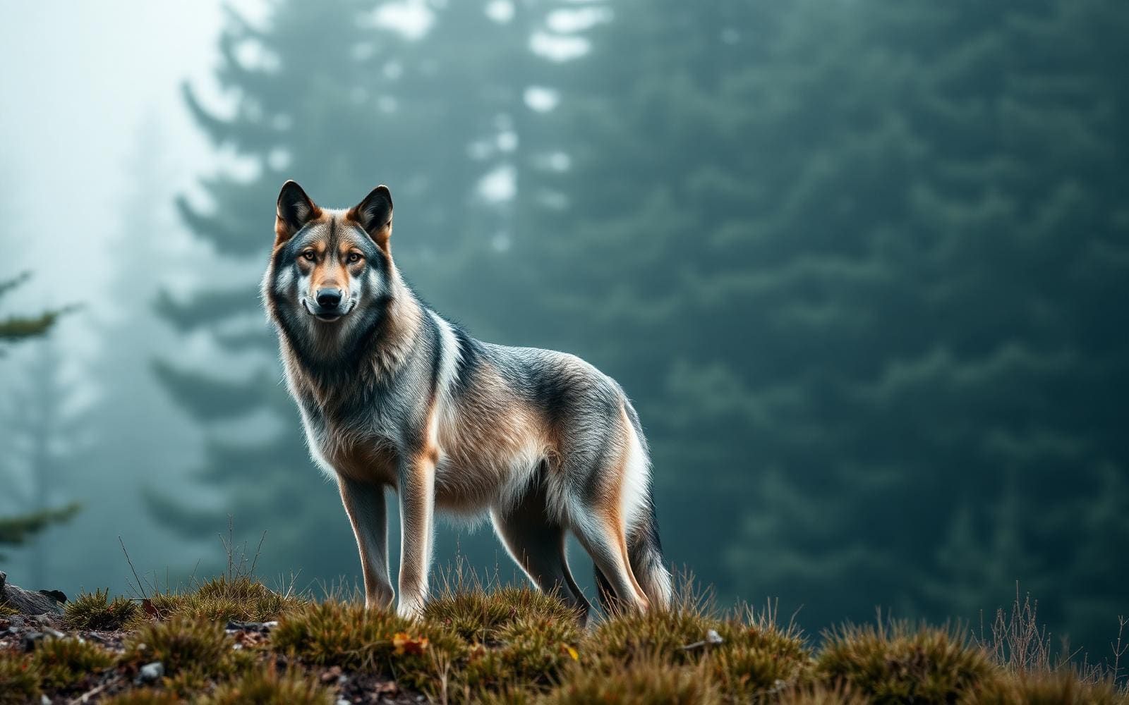
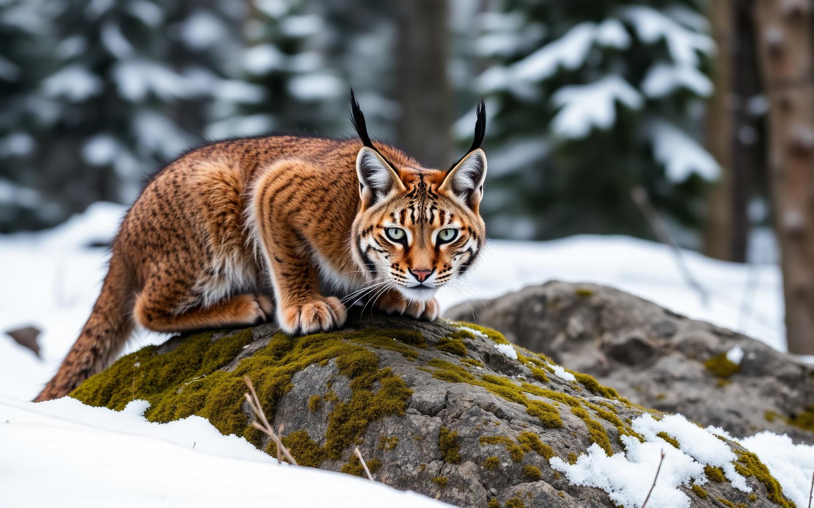
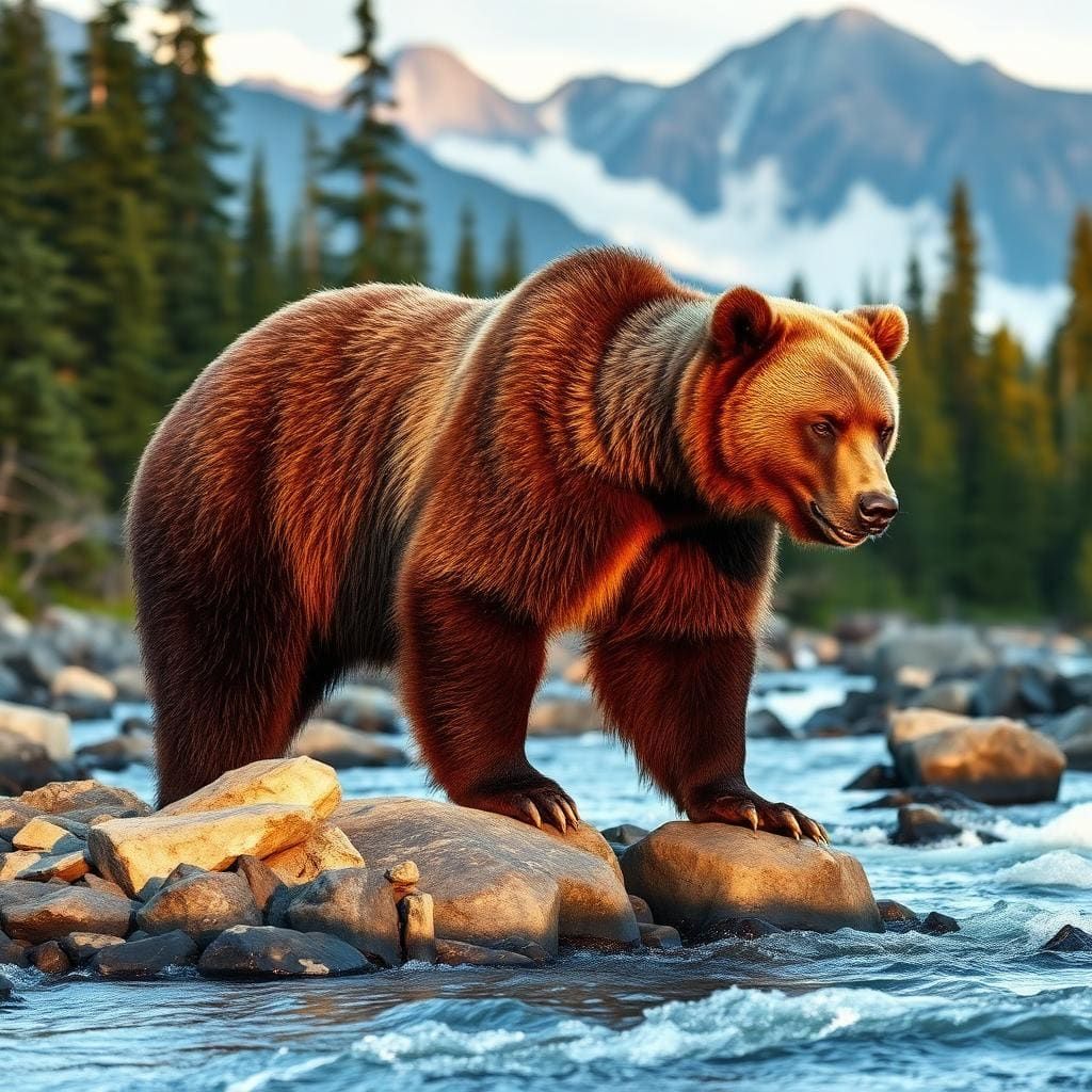
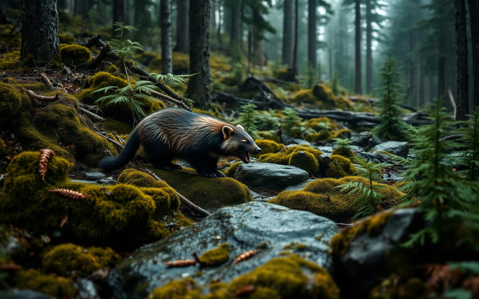
Wildlife found around Monte Vista National Wildlife Refuge



Compare side by side
Put the Monte Vista National Wildlife Refuge against any other pick on this list — specs, price, pros, cons and reader ratings.