



- Region
- Texas
- Country
- United States
- Best for
- fly fishing, fishing
- Best season
- Spring, Summer
- Permits
- Confirm Grass Island access, landing rules…
Plan with verified data
Grass Island, Mesquite Bay trip tools
Tools for a trip here
Picked for how, when and where you're going. Free, no signup.
How to get there
Orient to Mesquite Bay northeast of Aransas Bay on the Texas Gulf Coast. Rockport lies on Aransas Bay’s central western shore; Aransas Pass and Port Aransas are at its southern end. Confirm a specific departure facility and a navigable approach to Grass Island before traveling; these regional locations are not verified island access points.
- Rockport
Regional orientation point on the central western shore of Aransas Bay. A launch, departure service or landing connection to Grass Island is not established here.
- Aransas Pass and Port Aransas
Cities at the southern end of Aransas Bay. Use them for regional orientation only; confirm any proposed departure facility and its suitability for reaching Mesquite Bay.
Sources: Wikipedia · Wikivoyage. Confirm road and trailhead conditions with the managing agency before you leave.
Texas · United States · Season: Spring through fall
- Fishing
- Winter Camping
- Skiing
- Sea Kayaking
- Beachcombing
Overview
Grass Island in Mesquite Bay is a textbook example of productive back-bay redfish habitat. This large, irregularly shaped island is surrounded by dense, healthy grass flats and features numerous small guts and sand pockets. The entire area benefits from relatively clear water, especially on north winds, and is somewhat protected by the surrounding landmasses. Redfish here are commonly found tailing deep in the grass or cruising the sand potholes, making for excellent sight-casting opportunities. Access is primarily by boat, with the nearest launch often being from Port O'Connor. It's a bit of a run, but the reward is a tranquil environment and often unpressured fish. Fall through spring are prime, with winter cold fronts often concentrating fish. Anglers will need to be patient, stealthy, and able to present flies accurately into tight cover. The remote feel of Mesquite Bay adds to the charm, offering a true escape from more crowded waters.
Why it stands out
Dense grass flats provide exceptional redfish habitat
Generally clear water, especially with northerly winds
Good protection from most prevailing winds
Opportunities for tailing redfish in very skinny water
Peaceful, remote environment with less angling pressure
Know before you go
Longer boat run from most launch points
Bottom can be soft in some grassier areas, challenging to wade
Mosquitoes and biting insects can be bothersome in warmer months
Navigation requires attention to shallow spots and prop scars
Planning notes
Where: Texas, United States Best season: Spring through fall Good for: Fly Fishing, Fishing Featured on: Top 10 Fly Fishing Flat Spots for Redfish on the Texas Middle Coast (#9) Access point: Texas, USA
Check current permits, closures and fire restrictions with the managing agency before you commit to dates.
Field notes
- Dense grass flats provide exceptional redfish habitat
- Generally clear water, especially with northerly winds
- Good protection from most prevailing winds
- Opportunities for tailing redfish in very skinny water
- Peaceful, remote environment with less angling pressure
Where on earth
Satellite imagery flying in from a world view to Grass Island, Mesquite Bay, United States. Use the + / − buttons, or click the map to zoom with your scroll wheel; drag to pan and pinch to zoom on touch.
Coordinates
- Decimal degrees
- 31.9686, -99.9018
- Latitude (DMS)
- 31° 58′ 7.0″ N
- Longitude (DMS)
- 99° 54′ 6.5″ W
Coordinates are an access-point reference for Grass Island, Mesquite Bay, not a route. Carry a paper map and confirm trailhead or put-in access with the managing agency before you go.
Topic summary
Grass Island in Mesquite Bay is a textbook example of productive back-bay redfish habitat.
Key takeaways
- Region: Texas
- Country: United States
- Best season: Spring through fall
- Good for: fly fishing, fishing
- Coordinates: 31.969, -99.902
Intended uses
- fly fishing
- fishing
Climate suitability
Spring through fall
Keep planning
Popular pursuits at Grass Island, Mesquite Bay
- Fishing
Resident gamefish, seasons, and the water that holds them.
- Winter Camping
Cold-season travel and camp craft; layering matters more than mileage.
- Skiing
Ski-touring access when the road closes for the season.
- Sea Kayaking
Coastal crossings, tides, and protected camps.
- Beachcombing
Tide-line walking between camps.
Animals around Grass Island, Mesquite Bay
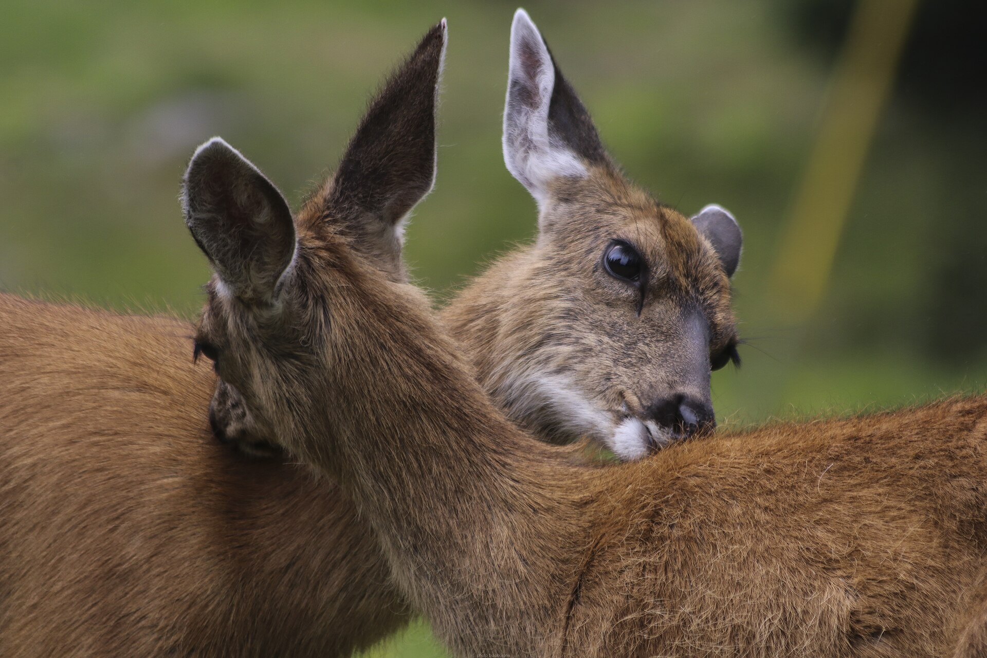
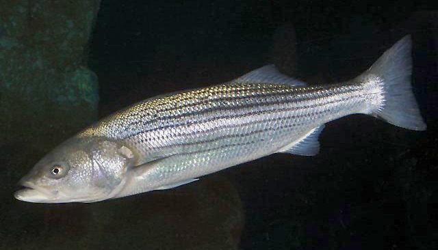
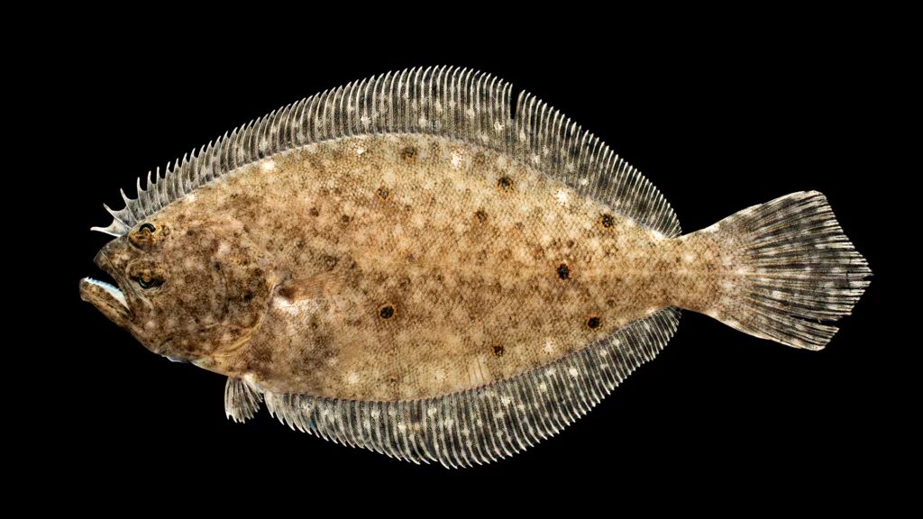
Grass Island in its coastal setting
For a trip centered on Grass Island in Mesquite Bay, the useful starting point is the geography of the surrounding bay system. Mesquite Bay extends the Aransas Bay system to the northeast on the Texas Gulf Coast. Aransas Bay runs northeast–southwest and is separated from the Gulf of Mexico by San José Island, also called St. Joseph Island. This is an estuarine setting, not an open-Gulf shoreline destination. Planning should distinguish the island itself from the much larger connected waters around it. An exact landing location, a suitable departure point and permission to go ashore on Grass Island need confirmation before travel. Do not treat the regional towns or the bay connections described here as verified access to the island.
Connected bays and working coastal waters
Mesquite Bay belongs to a broader coastal geography that includes several distinct bays. From Aransas Bay, Redfish Bay extends southwest, Copano Bay west, Saint Charles Bay north and Mesquite Bay northeast. Aransas Pass is the most direct navigable outlet from Aransas Bay into the Gulf of Mexico, but that does not make it an established approach to Grass Island. Aransas Bay is one of seven major estuaries along the Texas Gulf Coast and is part of the Mission-Aransas National Estuarine Research Reserve. Shrimp, fish, oysters and oil found in or near the bay contribute to local economies. For visitors, that context matters: these waters are both an ecological system and a working coastal landscape, rather than a single recreational site with one obvious entrance.
Planning an island visit
Rockport, on the central western shore of Aransas Bay, and the cities of Aransas Pass and Port Aransas, at its southern end, provide regional orientation. None should be assumed to offer a confirmed departure point for Grass Island without further checking. Before setting out, establish the island’s location on current navigation mapping, identify a legal launch or departure facility, and confirm whether landing is allowed. Match any water journey to the craft, conditions and experience of the group; carry drinking water, sun protection and appropriate flotation. Coastal weather deserves a fresh check close to departure. No island-specific route length, travel time or difficulty rating is established here, so leave enough flexibility to change plans rather than committing to an unverified crossing.
Route options
- Aransas Bay–Mesquite Bay
Regional connection to investigate, not a verified island itinerary: Mesquite Bay extends northeast from Aransas Bay. A departure point, navigable course and permitted landing on Grass Island must be established separately.
- Aransas Pass–Gulf of Mexico
Regional navigation context rather than a recommended Grass Island route. Aransas Pass is the most direct navigable outlet from Aransas Bay to the Gulf of Mexico; that connection does not establish access to the island.
Sample itineraries
- Mesquite Bay reconnaissance · 1 day
Use Rockport, on Aransas Bay’s central western shore, as a regional orientation stop. Before attempting Grass Island, confirm its location, legal access and suitable landing options with the managing agency. Mesquite Bay extends the Aransas Bay system to the northeast; this is not a verified island-access route.
- Aransas Bay regional visit · 2 days
Spend one day getting oriented around Rockport and the Aransas Bay estuary. Reserve the second for a Mesquite Bay outing only after confirming access, transportation and weather. Keep Grass Island optional rather than assuming a landing or overnight stay is allowed.
Seasonal conditions
Spring
Spring; confirm local conditions
Plan around the current coastal forecast rather than a presumed island-access season. Check wind and water conditions before committing to travel on the bay.
Summer
Summer; confirm local conditions
For a Texas Gulf Coast outing, carry drinking water and sun protection. Match time on exposed water to the forecast and the group’s ability; do not assume shelter or supplies on Grass Island.
Fall
Fall; confirm local conditions
Do not treat the season alone as evidence of favorable boating conditions. Recheck coastal weather before departure and keep an alternative that does not require island access.
Winter
Winter; confirm local conditions
Bring layers suitable for wind and wet conditions on coastal water. Confirm the forecast and access arrangements rather than assuming year-round island landings are available.
| Season | Window | Conditions |
|---|---|---|
| Spring | Spring; confirm local conditions | Plan around the current coastal forecast rather than a presumed island-access season. Check wind and water conditions before committing to travel on the bay. |
| Summer | Summer; confirm local conditions | For a Texas Gulf Coast outing, carry drinking water and sun protection. Match time on exposed water to the forecast and the group’s ability; do not assume shelter or supplies on Grass Island. |
| Fall | Fall; confirm local conditions | Do not treat the season alone as evidence of favorable boating conditions. Recheck coastal weather before departure and keep an alternative that does not require island access. |
| Winter | Winter; confirm local conditions | Bring layers suitable for wind and wet conditions on coastal water. Confirm the forecast and access arrangements rather than assuming year-round island landings are available. |
Permits, fees & closures
Confirm Grass Island access, landing rules and any permit requirements with the managing agency before traveling.
Confirm current permits, fees, and closures with the managing agency before you go.
Hazards & regulations
- Coastal wind and changing weather can affect travel on open bay water; check conditions before departure.
- Grass Island’s landing conditions and access route are unverified. Do not navigate from a regional description alone.
- Sun exposure and inadequate drinking water can undermine a coastal outing; carry your own protection and water.
- Do not assume drinking water, shelter or emergency assistance will be available on the island.
What to pack for Grass Island, Mesquite Bay
- Properly fitted personal flotation device for each traveler
- Current navigation information covering the intended bay route
- Waterproof communication equipment
- Drinking water
- Sun-protective clothing and hat
- Sunscreen
- Windproof and waterproof layers
- First-aid kit
- Dry bags
- Food for the planned outing
- Bag for carrying out waste
Grass Island, Mesquite Bay FAQ
- Where does Mesquite Bay fit into the regional coastline?
- Mesquite Bay extends Aransas Bay to the northeast on the Texas Gulf Coast. San José Island separates Aransas Bay from the Gulf of Mexico.
- Is there a verified route or launch point for Grass Island?
- No specific Grass Island launch point, landing or route is established here. Confirm the island’s location and lawful access before arranging water transportation.
- Can visitors camp on Grass Island?
- Camping permission and overnight facilities are not established. Ask the managing agency before planning an overnight stay.
- Which nearby town provides regional orientation?
- Rockport lies on Aransas Bay’s central western shore. Aransas Pass and Port Aransas are at the bay’s southern end. None is established here as a Grass Island departure point.
- Is this part of an estuary?
- Aransas Bay is one of the Texas Gulf Coast’s major estuaries and is part of the Mission-Aransas National Estuarine Research Reserve. That regional designation does not establish Grass Island’s management or visitor rules.