



- Region
- Hawaii, USA
- Best season
- Spring, Summer
- Permits
- Confirm current entry, activity and overni…
Plan with verified data
Haleakala Crater trip tools
Tools for a trip here
Picked for how, when and where you're going. Free, no signup.
Photos of Haleakala Crater
How to get there
Haleakala Crater is in Hawaii, USA. Its center point is 20.7161, -156.1735. Use these links for live turn-by-turn directions from where you are, then confirm road, trailhead and access conditions with the managing agency before you leave.
Hawaii, USA · Season: Best: Year-round
- Climbing
- Mountaineering
- Desert Hiking
- Canyoneering
- Sea Kayaking
- Beachcombing
- Hiking
- Backpacking
The country
The summit of this dormant shield volcano forms an immense, erosional depression locally referred to as a crater. Above the atmospheric inversion layer, the arid, cinder-strewn alpine desert feels distinctly alien and is entirely devoid of trees.
Why enthusiasts come
Backpackers descent into the crater to escape the tropical heat and camp below remarkably clear, light-pollution-free night skies. The profound silence of the basin is matched only by the surreal colors of the volcanic cinder cones.
Top experiences
Hiking the Sliding Sands Trail descends quickly into the crater floor, winding past the rare, metallic Haleakala silversword flora. Spending the night at the remote Paliku cabin offers a stark transition from barren ash to lush, rain-soaked cloud forest.
Planner-relevant notes
Wilderness permits and cabin reservations must be secured well in advance through the national park system. Despite being in Hawaii, nighttime temperatures inside the crater frequently drop below freezing, requiring rated sleeping bags. There is no natural water source readily available along most trails, so pack heavy.
Field notes
- High altitude sun exposure is intense; bring full-coverage clothing.
- Cinder trails require gaiters to prevent sharp volcanic rock from filling boots.
- Catchment water at cabins must be heavily filtered and treated before drinking.
- The hike out climbs thousands of feet; start before the midday heat hits.
Where on earth
Satellite imagery flying in from a world view to Haleakala Crater, Hawaii, USA. Use the + / − buttons, or click the map to zoom with your scroll wheel; drag to pan and pinch to zoom on touch.
Coordinates
- Decimal degrees
- 20.7161, -156.1735
- Latitude (DMS)
- 20° 42′ 58.0″ N
- Longitude (DMS)
- 156° 10′ 24.6″ W
Coordinates are an access-point reference for Haleakala Crater, not a route. Carry a paper map and confirm trailhead or put-in access with the managing agency before you go.
Topic summary
Desolate cinder cones and rare silversword plants define a high-altitude Martian crater that plunges deep into the island of Maui.
Key takeaways
- Region: Hawaii, USA
- Best season: Best: Year-round
- Coordinates: 20.716, -156.173
Climate suitability
Best: Year-round
Keep planning
Popular pursuits at Haleakala Crater
- Climbing
Rock and alpine lines with approach beta.
- Mountaineering
Glacier and high-route objectives with real consequence.
- Desert Hiking
Water carries and heat management drive the plan.
- Canyoneering
Narrows, downclimbs, and flash-flood timing.
- Sea Kayaking
Coastal crossings, tides, and protected camps.
- Beachcombing
Tide-line walking between camps.
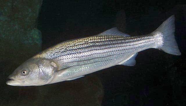
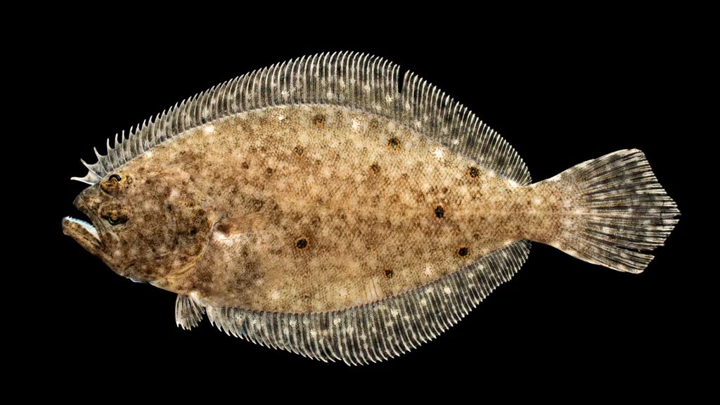
Animals around Haleakala Crater

Keep the two national parks distinct
Haleakalā National Park and Hawaiʻi Volcanoes National Park are separate parks with a shared administrative history. Hawaii National Park was established in 1916 and later split into those two parks. Hawaiʻi Volcanoes National Park is on the island of Hawaiʻi and encompasses Kīlauea and Mauna Loa. Those volcanoes should not be treated as features of Haleakala Crater, and their visitor facilities should not be used as arrival points for this destination. The distinction matters when choosing maps, checking conditions, and arranging transportation. A useful Haleakala Crater itinerary needs destination-specific access and trail information. Without that information, assigning an entrance, trailhead, driving time, or walking route would risk sending visitors to the wrong place.
Access and walking plans need confirmation
A dependable visit plan needs a confirmed arrival point, an identified walking route, and current access guidance for Haleakala Crater. No destination-specific entrance, road, trailhead, or route can be established here, so driving directions and hiking options are left unspecified. The same applies to distances, difficulty ratings, and expected travel times: these details should not be borrowed from another volcanic destination. Before arranging a trip, confirm the correct park information and obtain a current map that identifies the intended access point and route. Match the outing to the group only after the terrain and route requirements are clear. A general description of volcano tourism is not enough to choose a particular crater walk.
Use destination-specific safety guidance
Volcanoes differ substantially in shape, eruption frequency, and eruption intensity. That variation makes it important not to transfer one volcano’s conditions or hazards to another. Eruptions can be extremely dangerous, and maintaining a safe distance from any eruptive activity is a general precaution, not a statement that Haleakala Crater is currently erupting. Reports of explosions, toxic ash, earthquakes, road damage, or closures at Kīlauea do not establish those conditions here. Likewise, conditions at Hawaiʻi Volcanoes National Park do not establish whether access to this destination is available. Confirm current local safety guidance and access status before departure. Destination-specific conditions are needed before making recommendations about timing, equipment, or the suitability of a proposed outing.
Sample itineraries
- One-day visit: planning outline · 1 day
Before planning a Haleakalā Crater visit, confirm current access, visitor requirements and suitable destinations with Haleakalā National Park. A specific route cannot be recommended from the available destination information.
- Two-day visit: planning outline · 2 days
Allow the first day for orientation and checking current conditions. Plan a second-day outing only after confirming routes, difficulty and access with Haleakalā National Park. This outline does not establish overnight access or camping availability.
Seasonal conditions
Spring
Not established
Crater-specific spring conditions are not established. Confirm the forecast and access conditions before choosing an outing.
Summer
Not established
Crater-specific summer conditions are not established. Do not assume summer guarantees suitable hiking conditions.
Fall
Not established
Crater-specific fall conditions are not established. Check current conditions before setting a route or schedule.
Winter
Not established
Crater-specific winter conditions are not established. Confirm weather, equipment needs and access before departure.
| Season | Window | Conditions |
|---|---|---|
| Spring | Not established | Crater-specific spring conditions are not established. Confirm the forecast and access conditions before choosing an outing. |
| Summer | Not established | Crater-specific summer conditions are not established. Do not assume summer guarantees suitable hiking conditions. |
| Fall | Not established | Crater-specific fall conditions are not established. Check current conditions before setting a route or schedule. |
| Winter | Not established | Crater-specific winter conditions are not established. Confirm weather, equipment needs and access before departure. |
Permits, fees & closures
Confirm current entry, activity and overnight requirements directly with Haleakalā National Park.
Confirm current permits, fees, and closures with the managing agency before you go.
Hazards & regulations
- Crater-specific hazards are not established here; obtain current safety guidance before entering.
- Route difficulty and access are unverified; do not use this profile as a navigation guide.
- Eruption, ash and road-damage information for Kīlauea does not establish conditions at Haleakalā Crater.
What to pack for Haleakala Crater
- Current park map
- Current access and safety notices
- Managing-agency contact details
- Confirmed route plan and return arrangements
Haleakala Crater FAQ
- Is there enough information here for a detailed crater itinerary?
- No. Haleakalā-specific routes, access points, distances and seasonal conditions are not established. Confirm those details before committing to an outing.
- Is Haleakalā National Park the same as Hawaiʻi Volcanoes National Park?
- No. They are separate parks, historically split from Hawaii National Park. Kīlauea and Mauna Loa are in Hawaiʻi Volcanoes National Park.
- Do Kīlauea eruption reports describe Haleakalā Crater?
- No. Kīlauea activity and associated damage should not be treated as Haleakalā conditions. Seek current information specifically for Haleakalā National Park.
- What permits or reservations are needed?
- Confirm directly with Haleakalā National Park. No permit, fee or reservation specifics are established here.
- Which season is best, and what wildlife might be seen?
- Neither a best season nor a Haleakalā-specific wildlife list can be established here. Get local seasonal guidance and wildlife information before planning around either.