



- Region
- Hawaii, USA
- Best season
- Spring, Summer
- Permits
- Confirm current permit, reservation, and a…
Plan with verified data
Na Pali Coast & Kalalau Trail trip tools
Tools for a trip here
Picked for how, when and where you're going. Free, no signup.
Photos of Na Pali Coast & Kalalau Trail
How to get there
The destination is on the northwest side of Kauaʻi, Hawaii. Koke'e Road, Route 550, in Waimea Canyon provides access to hiking trails and hunters’ roads leading toward sharp ridges in the Hono O Nā Pali State Natural Reserve area. Do not treat this inland approach as a confirmed route to Kalalau Valley.
- Koke'e Road (Route 550)
Inland access in Waimea Canyon for hiking trails and hunters’ roads reaching the sharp ridges of the Hono O Nā Pali State Natural Reserve area.
- Keʻe Beach
The northeastern geographic anchor of the Nā Pali coastline, which extends southwest to Polihale State Park. Confirm the appropriate access arrangements for any planned coastal outing.
Sources: Wikipedia · Wikivoyage. Confirm road and trailhead conditions with the managing agency before you leave.
Hawaii, USA · Season: Best: May-Sep
- Sea Kayaking
- Beachcombing
- Hiking
- Backpacking
- Wildlife Viewing
The country
The northwest coast of Kauai features some of the world's most dramatic maritime cliffs, heavily fluted by rainfall and ancient erosion. The terrain alternates between dense, humid jungle and narrow, crumbling volcanic ridges plunging thousands of feet into the ocean.
Why enthusiasts come
Hikers brave the grueling humidity and hazardous cliffside ledges to reach the legendary, isolated beachfront of the Kalalau Valley. It represents the quintessential tropical paradise, accessible only by foot or sea.
Top experiences
Traversing the infamous Crawler's Ledge demands intense focus as the narrow dirt trail skirts directly above surging ocean swells. Reaching Kalalau Beach and showering under the valley's thundering waterfalls is a major milestone for coastal backpackers.
Planner-relevant notes
Permits are notoriously difficult to obtain and must be booked exactly when the state park system releases them. Flash floods in the stream crossings claim lives periodically; never attempt to cross brown, surging water. The trail is frequently washed out, making a turnaround necessary if conditions become impassable.
Field notes
- Carry extreme amounts of electrolyte mixes; humidity drains hydration rapidly.
- Microspikes can provide critical traction on brutally slick, red clay descents.
- Do not swim at Hanakapiai Beach; oceanic rip currents are completely lethal there.
- Park rats aggressively raid unattended food; hang reserves properly at camp.
Where on earth
Satellite imagery flying in from a world view to Na Pali Coast & Kalalau Trail, Hawaii, USA. Use the + / − buttons, or click the map to zoom with your scroll wheel; drag to pan and pinch to zoom on touch.
Coordinates
- Decimal degrees
- 22.1706, -159.6435
- Latitude (DMS)
- 22° 10′ 14.2″ N
- Longitude (DMS)
- 159° 38′ 36.6″ W
Coordinates are an access-point reference for Na Pali Coast & Kalalau Trail, not a route. Carry a paper map and confirm trailhead or put-in access with the managing agency before you go.
Topic summary
Jagged, emerald-green cliffs drop thousands of feet into the Pacific Ocean along one of the world's most spectacular and dangerous coastal trails.
Key takeaways
- Region: Hawaii, USA
- Best season: Best: May-Sep
- Coordinates: 22.171, -159.643
Climate suitability
Best: May-Sep
Keep planning
Popular pursuits at Na Pali Coast & Kalalau Trail
- Sea Kayaking
Coastal crossings, tides, and protected camps.
- Beachcombing
Tide-line walking between camps.
- Hiking
Day miles on marked trail, with route notes and trail links below.
- Backpacking
Multi-day travel with everything on your back — see the packing blocks below.
- Wildlife Viewing
Best light, best season, and where animals move.
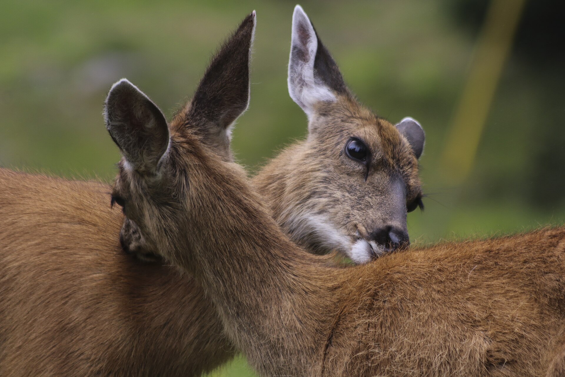
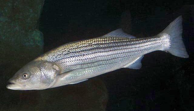
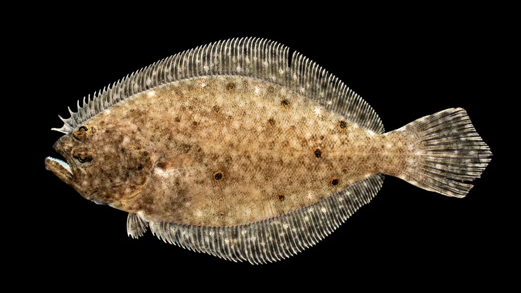
Animals around Na Pali Coast & Kalalau Trail
A coast shaped by cliffs and erosion
Nā Pali occupies the rugged northwest side of Kauaʻi, with a coastline extending southwest from Keʻe Beach to Polihale State Park. Along the shore, cliffs rise as much as 4,000 feet above the Pacific Ocean. The name nā pali means “many cliffs,” a direct description of the terrain that defines this part of the island. Kauaʻi’s long history of erosion has shaped both this coast and Waimea Canyon, making steep relief central to the landscape rather than an occasional feature. For trip planning, distinguish the full coast from the state park: the rugged northwest shoreline spans 16 miles, while Nā Pali Coast State Park protects a particular part of that landscape. That coastal length is geographic context, not a hiking distance.
Kalalau Valley and the protected landscape
Nā Pali Coast State Park covers 6,175 acres and was formed to protect Kalalau Valley. The valley is therefore central to the park’s purpose, not simply another landmark along the shoreline. East of the park lies Hono O Nā Pali State Natural Reserve, another protected area within this steep landscape. Keep those two areas distinct when planning an outing: nearby protected lands should not be treated as interchangeable destinations or assumed to share access arrangements. Confirm current entry, hiking, and overnight requirements with the agency responsible for the area being visited before committing to plans. A useful starting point is to identify whether the intended outing concerns the coastal park, Kalalau Valley, or the ridges associated with the natural reserve, then seek access guidance specific to that location.
Planning around wet, steep terrain
Kauaʻi is covered with lush greenery and tropical plants sustained by abundant rainfall. Combined with the coast’s high cliffs and the sharp ridges inland, that description calls for a conservative approach to outdoor travel. Carry rain protection, protect essential gear from moisture, and choose an outing that matches the group’s comfort with steep terrain. Check weather and local conditions before setting out rather than treating tropical surroundings as a promise of easy travel. The inland access described here is through hiking trails and hunters’ roads from Koke'e Road, Route 550, in Waimea Canyon. That is ridge access, not evidence of a through-route to the shoreline or Kalalau Valley. Keep inland ridge plans separate from coastal plans unless a specific connection has been confirmed.
Route options
- Ridge hiking from Koke'e Road
Hiking trails provide access from Koke'e Road in Waimea Canyon to sharp ridges in the natural reserve area east of the state park. Confirm a specific trail and its conditions before setting out; this is an access option rather than a defined itinerary.
- Hunters’ roads from Koke'e Road
Hunters’ roads are another described means of reaching the sharp inland ridges. Confirm the intended road’s suitability and access status with the responsible agency; do not assume it connects to the coastal park or Kalalau Valley.
Sample itineraries
- Keʻe Beach coastal orientation · 1 day
Focus a short visit on Keʻe Beach, where the Nā Pali coast begins its southwest reach. Keep the plan modest rather than treating it as a Kalalau Trail itinerary. Confirm current access and suitable walking options with the managing agency before setting out.
- Two coastal endpoints · 2 days
Plan separate visits to Keʻe Beach and Polihale State Park, the endpoints of the Nā Pali coast. Allow one day for each rather than assuming a connecting coastal walk. Confirm access independently; the rugged shoreline and high cliffs make map distance a poor guide to travel effort.
Seasonal conditions
Spring
Spring
Kauaʻi’s lush vegetation reflects abundant rainfall. Carry rain protection and check local weather before coastal outings; do not assume spring guarantees dry footing.
Summer
Summer
Plan for sun exposure beside the Pacific, but keep rain protection available. The island’s rainy character does not support treating a summer visit as reliably dry.
Fall
Fall
Use current weather and access information to shape the day’s plan. Rain and rugged terrain warrant flexible plans rather than a fixed hiking objective.
Winter
Winter
Check current weather and ocean conditions before shoreline visits. Keep alternatives available when rain or coastal conditions make the intended outing unsuitable.
| Season | Window | Conditions |
|---|---|---|
| Spring | Spring | Kauaʻi’s lush vegetation reflects abundant rainfall. Carry rain protection and check local weather before coastal outings; do not assume spring guarantees dry footing. |
| Summer | Summer | Plan for sun exposure beside the Pacific, but keep rain protection available. The island’s rainy character does not support treating a summer visit as reliably dry. |
| Fall | Fall | Use current weather and access information to shape the day’s plan. Rain and rugged terrain warrant flexible plans rather than a fixed hiking objective. |
| Winter | Winter | Check current weather and ocean conditions before shoreline visits. Keep alternatives available when rain or coastal conditions make the intended outing unsuitable. |
Permits, fees & closures
Confirm current permit, reservation, and access requirements with the managing agency before planning a Kalalau Trail hike or visiting the coast.
Confirm current permits, fees, and closures with the managing agency before you go.
Hazards & regulations
- Cliffs rise as much as 4,000 feet above the Pacific. Keep well back from exposed edges.
- Abundant rainfall can leave footing wet and slippery; adjust walking plans to actual conditions.
- The rugged coast and sharp ridges demand conservative route choices. Do not assume shoreline destinations connect by an easy walk.
- Check ocean conditions before approaching the water; a coastal visit should not automatically include swimming.
What to pack for Na Pali Coast & Kalalau Trail
- Rain shell
- Water-resistant protection for essential gear
- Footwear with dependable wet-surface grip
- Sun hat
- Sunscreen
- Drinking water appropriate to the planned outing
- Offline map
- Charged phone
- Basic first-aid kit
Na Pali Coast & Kalalau Trail FAQ
- Where is the Nā Pali coast?
- It lies on Kauaʻi’s rugged northwest side in Hawaii. The coast extends southwest from Keʻe Beach to Polihale State Park.
- What does Nā Pali mean?
- Nā pali means “many cliffs.” Shoreline cliffs rise as much as 4,000 feet above the Pacific Ocean.
- What does Nā Pali Coast State Park protect?
- The 6,175-acre state park was formed to protect Kalalau Valley.
- How should a Kalalau Trail trip be planned?
- Confirm the route, current access, permit requirements, and any overnight arrangements with the managing agency. Do not treat the coast’s overall length as the trail’s hiking distance.
- Is there ridge access elsewhere in the area?
- East of the state park, Hono O Nā Pali State Natural Reserve has hiking trails and hunters’ roads accessing sharp ridges from Kokeʻe Road, route 550, in Waimea Canyon. Confirm the specific route before using this access.