



- Region
- Innlandet
- Country
- Norway
- Best for
- ski touring, camping, photography
- Best season
- Spring, Summer
- Permits
- Confirm current access rules, permit requi…
Plan with verified data
Rondane National Park trip tools
Tools for a trip here
Picked for how, when and where you're going. Free, no signup.
- Sleep System Temp CalculatorCold nights: check your bag and pad add up to a safe sleep.
- Base Weight CalculatorEvery ounce is carried — total your kit and find your base weight.
- Pack Volume SizerSize the pack for your trip length and season.
- Water Purification MatrixTreat water from streams and lakes on trail.
- Layering CalculatorCold-season miles: layer for climbs and camp.
How to get there
Rondane is in Innlandet, east of the Gudbrandsdalen valley, with Dovre National Park a very short distance to the north. Confirm a specific entry point and transport connection before travelling; these regional bearings do not establish road or trail access.
- Gudbrandsdalen valley
Regional orientation point west of Rondane. A specific park entrance, trailhead or onward connection must be confirmed separately.
- Dovre National Park
A separate national park a very short distance north of Rondane. Its proximity is useful for orientation but does not establish a connecting route or entry point.
Sources: Wikipedia · Wikivoyage. Confirm road and trailhead conditions with the managing agency before you leave.
Innlandet · Norway · Season: Winter (Dec–Mar)
- Backpacking
- Hiking
- Winter Camping
- Skiing
- Wildlife Viewing
- Photography
Overview
Norwegian winter trekking with DNT hut network. Ideal introduction to Scandinavian winter travel.
Planning notes
Where: Innlandet, Norway Best season: Winter (Dec–Mar) Good for: Ski Touring, Camping, Photography, Hiking, Backpacking, Wildlife Viewing Featured on: Top 10 Winter Camping Locations (#8) Access point: Rondane National Park, Norway
Check current permits, closures and fire restrictions with the managing agency before you commit to dates.
Where on earth
Satellite imagery flying in from a world view to Rondane National Park, Norway. Use the + / − buttons, or click the map to zoom with your scroll wheel; drag to pan and pinch to zoom on touch.
Coordinates
- Decimal degrees
- 61.9315, 9.7889
- Latitude (DMS)
- 61° 55′ 53.5″ N
- Longitude (DMS)
- 9° 47′ 20.0″ E
Coordinates are an access-point reference for Rondane National Park, not a route. Carry a paper map and confirm trailhead or put-in access with the managing agency before you go.
Topic summary
Norwegian winter trekking with DNT hut network.
Key takeaways
- Region: Innlandet
- Country: Norway
- Best season: Winter (Dec–Mar)
- Good for: ski touring, camping, photography, hiking
- Coordinates: 61.932, 9.789
Intended uses
- ski touring
- camping
- photography
- hiking
- backpacking
- wildlife viewing
Climate suitability
Winter (Dec–Mar)
Keep planning
Popular pursuits at Rondane National Park
- Backpacking
Multi-day travel with everything on your back — see the packing blocks below.
- Hiking
Day miles on marked trail, with route notes and trail links below.
- Winter Camping
Cold-season travel and camp craft; layering matters more than mileage.
- Skiing
Ski-touring access when the road closes for the season.
- Wildlife Viewing
Best light, best season, and where animals move.
- Photography
Vantage points and the hours worth setting an alarm for.
Animals around Rondane National Park



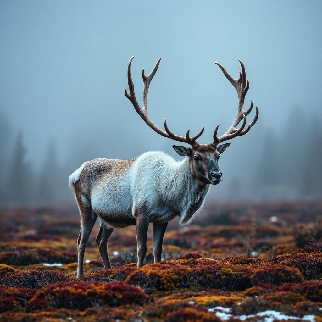


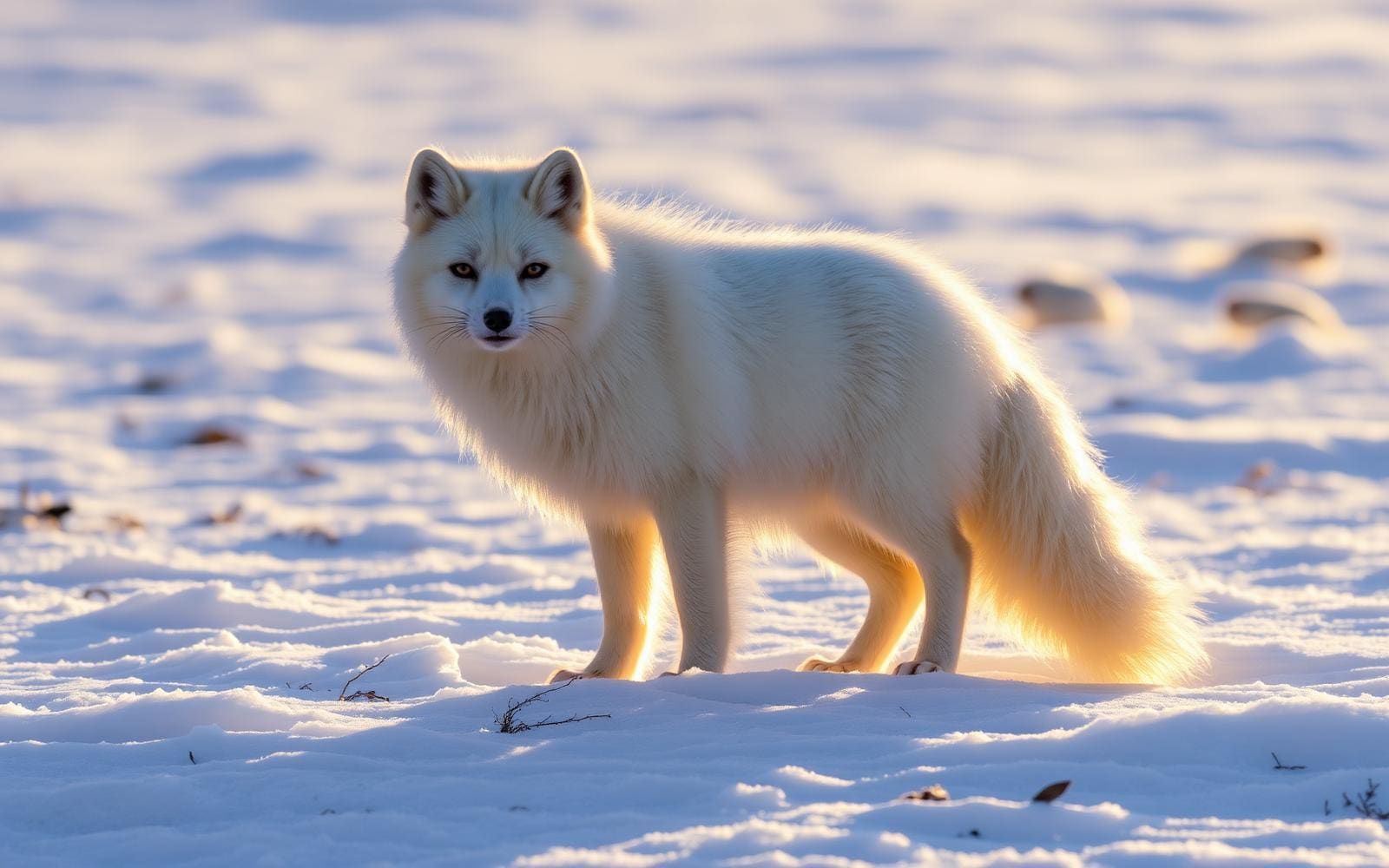
A high-mountain park in Innlandet
Rondane National Park lies in Innlandet, just east of the Gudbrandsdalen valley. Established on 21 December 1962, it is Norway’s oldest national park. An enlargement in 2003 brought its area to 963 square kilometres. The park extends across the municipalities of Dovre, Folldal, Sel, Nord-Fron, Sør-Fron, Stor-Elvdal and Ringebu, so planning begins with choosing which side of this broad mountain area to approach. Dovre and Jotunheimen are nearby mountain areas, while Dovre National Park lies a very short distance to the north. These are useful regional bearings, not interchangeable destinations or confirmed entry points. Before arranging transport, identify an actual starting point and check the onward access rather than relying on the park name alone.
High peaks and realistic route planning
Ten peaks in Rondane rise above 2,000 metres, and Rondeslottet is the highest at 2,178 metres. That elevation makes mountain weather, visibility and exposure important considerations when choosing an outing. Carry layers suitable for changing conditions, navigation equipment and enough food and water for the intended day. A summit’s height alone does not establish the length or difficulty of its approach, and Rondeslottet should be treated as a destination to research rather than a ready-made route description. Confirm the starting point, terrain and current conditions before committing to a summit plan. Allow room to turn back if conditions deteriorate. For a less summit-focused visit, seek locally verified walking options instead of assuming that every route through the park involves one of its highest peaks.
Wild reindeer and a low-disturbance visit
Rondane is an important habitat for herds of wild reindeer, making wildlife awareness part of trip planning rather than an optional extra. Give animals space and avoid approaching them for photographs. If reindeer are ahead, pause and let their movements guide whether to wait or change course without moving closer. The park’s large area and concentration of high mountains call for self-contained preparation: pack out rubbish, carry the supplies needed for the day and avoid depending on facilities that have not been confirmed. Check current access guidance and any applicable requirements with the managing agency before travelling. A good plan should account for both mountain conditions and the possibility that giving wildlife room will change the day’s intended itinerary.
Route options
- Rondeslottet summit objective
Rondane’s highest peak, at 2,178 metres. This is an objective for further route planning, not a verified itinerary; confirm the approach, starting point and terrain before setting out.
- Rondane high-peak outing
The park contains ten peaks above 2,000 metres. Choose a locally verified itinerary suited to conditions and experience; no peak-linking route or traverse is established here.
Sample itineraries
- Rondane mountain introduction · 1 day
Plan a day walk suited to the weather, terrain and group experience, with time to take in Rondane’s mountain landscape. Confirm access and a suitable route locally; do not treat a summit as a necessary part of the day.
- Two days in the Rondane landscape · 2 days
Use one day for a shorter introductory walk and the second for a mountain outing matched to conditions. Rondeslottet, at 2,178 metres, is the park’s highest peak, not an automatic objective. Confirm routes and overnight arrangements before departure, and leave wild reindeer undisturbed.
Seasonal conditions
Spring
Spring thaw
Treat this inland mountain landscape as potentially wintry at elevation. Check snow and footing before choosing an outing, and allow for wet or icy ground during thaw.
Summer
Summer mountain outings
Plan for exposure rather than assuming warm conditions. With ten peaks above 2,000 metres, Rondane calls for wind protection, insulating layers and a route that can be shortened if weather deteriorates.
Fall
Autumn transition
Prepare for colder mountain conditions and potentially slippery ground. Check the forecast and available daylight before committing to a high-elevation outing.
Winter
Winter mountain travel
Plan conservatively for cold, snow and limited daylight. Match the outing to winter navigation skills and current conditions; do not assume a summer walking plan remains suitable.
| Season | Window | Conditions |
|---|---|---|
| Spring | Spring thaw | Treat this inland mountain landscape as potentially wintry at elevation. Check snow and footing before choosing an outing, and allow for wet or icy ground during thaw. |
| Summer | Summer mountain outings | Plan for exposure rather than assuming warm conditions. With ten peaks above 2,000 metres, Rondane calls for wind protection, insulating layers and a route that can be shortened if weather deteriorates. |
| Fall | Autumn transition | Prepare for colder mountain conditions and potentially slippery ground. Check the forecast and available daylight before committing to a high-elevation outing. |
| Winter | Winter mountain travel | Plan conservatively for cold, snow and limited daylight. Match the outing to winter navigation skills and current conditions; do not assume a summer walking plan remains suitable. |
Permits, fees & closures
Confirm current access rules, permit requirements and overnight-use arrangements with the park’s managing agency before travelling.
Confirm current permits, fees, and closures with the managing agency before you go.
Hazards & regulations
- Cold and wind exposure: high mountain terrain requires protective layers even when conditions lower down seem mild.
- Poor visibility: carry navigation tools and avoid committing to unfamiliar high terrain when visibility deteriorates.
- Snow, ice and uneven footing: check current ground conditions and choose terrain appropriate to the group.
- Wildlife disturbance: Rondane is important habitat for wild reindeer. Keep your distance and change course rather than approaching a herd.
What to pack for Rondane National Park
- Waterproof and windproof outer layers
- Insulating layer
- Warm hat and gloves
- Footwear suited to current ground conditions
- Topographic map and compass
- Offline navigation with backup power
- First-aid kit
- Emergency shelter
- Headlamp
- Drinking water
- Food and spare snacks
- Sun protection
- Bag for carrying out litter
- Binoculars for distant wildlife viewing
Rondane National Park FAQ
- Where is Rondane National Park?
- Rondane is in Innlandet, Norway, just east of the Gudbrandsdalen valley. Dovre National Park lies a short distance to the north, and Jotunheimen is another nearby mountain area.
- What defines Rondane’s landscape?
- The park covers 963 square kilometres and contains ten peaks above 2,000 metres. Its high mountain setting makes elevation, exposure and current weather central to trip planning.
- What is the highest peak?
- Rondeslottet is the highest peak at 2,178 metres. Before considering an ascent, confirm the route, ground conditions and suitability for your experience.
- Why is Rondane historically significant?
- Established on 21 December 1962, Rondane is Norway’s oldest national park. It was enlarged in 2003.
- What wildlife should visitors be particularly mindful of?
- Wild reindeer. The park is an important habitat for herds, so give animals space and choose another direction if continuing would bring you closer.
- How should a first visit be planned?
- Start with a conservative day outing rather than a summit commitment. Confirm an access point and suitable route with the managing agency, check current mountain conditions, and carry navigation, warm layers, food and water.