



Sarek National Park
Sweden's roadless Lapland interior — no marked trails, no bridges, and reindeer instead of crowds.
- Region
- Lapland
- Country
- Sweden
- Best for
- backpacking, photography, wildlife viewing
- Best season
- Summer, Spring
- Permits
- Confirm permit requirements and regulation…
Plan with verified data
Sarek National Park trip tools
Lapland · Sweden · Season: July–September
- Backpacking
- Hiking
- Canoeing
- Fishing
Europe's last true wilderness
Two hundred peaks over 1,800 meters packed into a park with no infrastructure. Rapa Valley from Skierffe is one of the great views in Europe.
River crossings
Meltwater rivers are the crux. Cross early morning when flow is lowest, unbuckle your hip belt, and be willing to walk upstream for a better line.
Field notes
- Right of public access applies — camp responsibly
- Midge season peaks in July; September brings autumn color and fewer bugs
Where on earth
Satellite imagery flying in from a world view to Sarek National Park, Sweden. Use the + / − buttons, or click the map to zoom with your scroll wheel; drag to pan and pinch to zoom on touch.
Coordinates
- Decimal degrees
- 67.2833, 17.7500
- Latitude (DMS)
- 67° 16′ 59.9″ N
- Longitude (DMS)
- 17° 45′ 0.0″ E
Coordinates are an access-point reference for Sarek National Park, not a route. Carry a paper map and confirm trailhead or put-in access with the managing agency before you go.
Topic summary
Sweden's roadless Lapland interior — no marked trails, no bridges, and reindeer instead of crowds.
Key takeaways
- Region: Lapland
- Country: Sweden
- Best season: July–September
- Good for: backpacking, photography, wildlife viewing
- Coordinates: 67.283, 17.750
Intended uses
- backpacking
- photography
- wildlife viewing
Climate suitability
July–September
Keep planning
Popular pursuits at Sarek National Park
- Backpacking
Multi-day travel with everything on your back — see the packing blocks below.
- Hiking
Day miles on marked trail, with route notes and trail links below.
- Canoeing
Paddle routes, portages, and put-ins.
- Fishing
Resident gamefish, seasons, and the water that holds them.
Animals around Sarek National Park
 Wildlife guideTimber wolfCanis lupus
 Wildlife guideCanada lynxLynx canadensis
 Wildlife guideWolverineGulo gulo
 Wildlife guideWoodland caribouRangifer tarandus caribou
 Wildlife guideNorth American beaverCastor canadensis
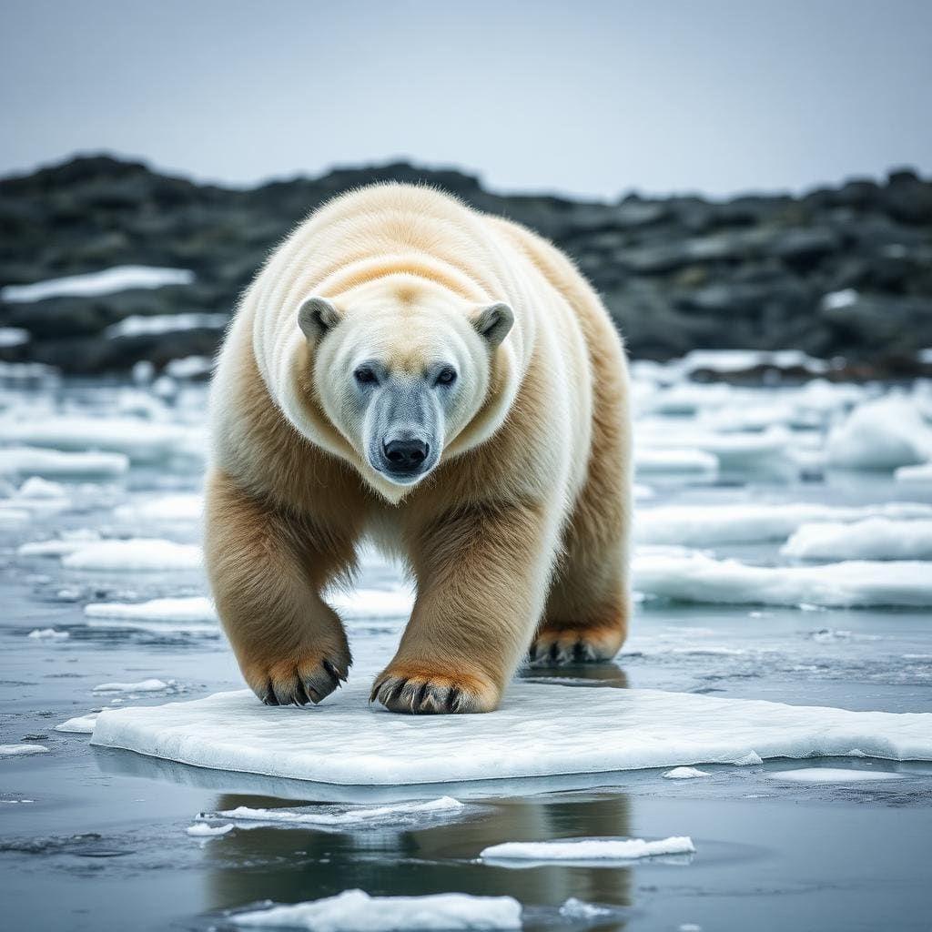 Wildlife guidePolar bearUrsus maritimus
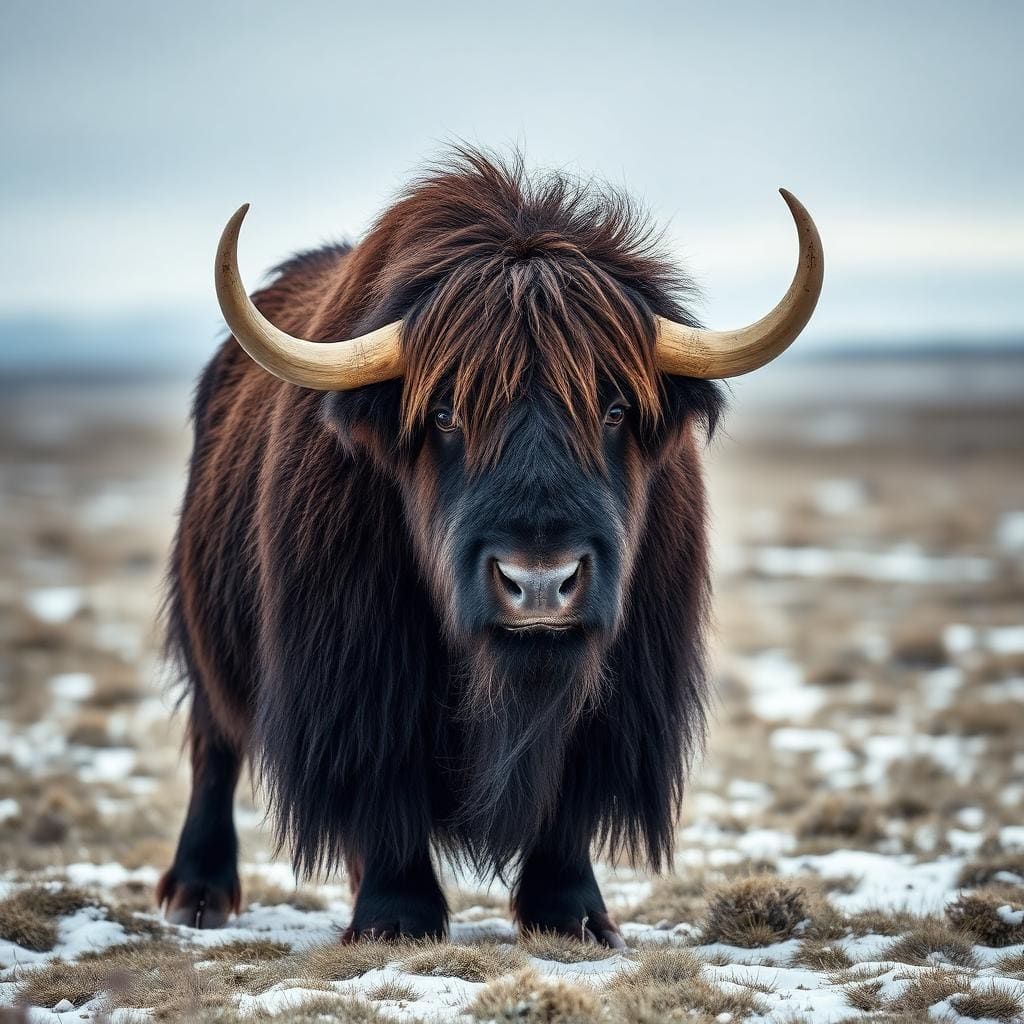 Wildlife guideMuskoxOvibos moschatus
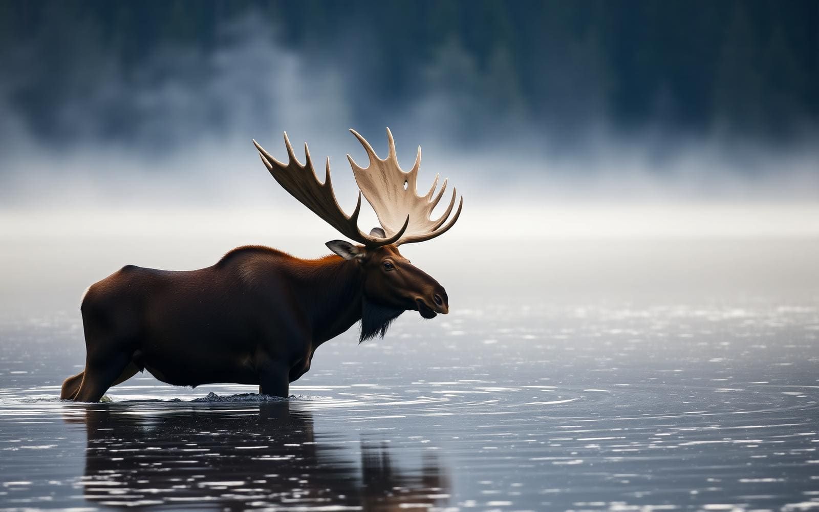 Wildlife guideMooseAlces alces
Sarek National Park Overview
Sarek National Park, established in 1909, is among Europe's oldest national parks, located in Jokkmokk Municipality, Lapland, northern Sweden. It borders Stora Sjöfallet and Padjelanta national parks. Roughly circular, Sarek has an average diameter of about 50 km (31.07 mi). This vast wilderness includes six of Sweden's thirteen peaks over 2,000 m (6,600 ft), such as Sarektjåkkå, the country's second-highest mountain. The park also contains approximately 200 mountains over 1,800 m (5,900 ft), 82 of which are named, and about 100 glaciers. Sarek is a popular destination for hikers and mountaineers, though it presents significant challenges due to its rugged terrain and lack of infrastructure. The area is part of the broader Sarek mountain district, which collectively features eight peaks exceeding 2,000 m (6,600 ft).
Wilderness Character and Landscape
Sarek National Park is a rugged, roadless wilderness with no marked trails or accommodations, and only two bridges beyond its immediate borders. The park's landscape is characterized by its numerous high peaks and glaciers. The delta of the Rapa River is considered a notable view in Europe, and the summit of Mount Skierfe offers an overlook of this ice-covered, glacial, through valley. The Pårte Scientific Station (also known as the Pårte observatory), built by Axel Hamberg in the early 1900s, stands as an early testament to scientific exploration in this remote region, with all building materials carried to the site by porters. The park is renowned for its untamed nature, offering an experience for those prepared for demanding conditions. The Sarek area is known to receive some of the heaviest rainfall in Sweden, influencing hiking conditions.
Challenging Terrain and Navigation
The park's challenging environment requires significant outdoor experience. Its lack of marked trails and accommodations means navigation relies on wilderness skills, and beginners are advised to travel with a guide. Turbulent streams are common and can be hazardous to cross without proper training. The area's heavy rainfall makes hiking highly dependent on weather conditions, which can change rapidly. This combination of remote wilderness, difficult crossings, and variable weather demands thorough preparation and self-sufficiency from all visitors. Despite these challenges, Sarek's wild and untouched character attracts those seeking a true wilderness experience away from developed infrastructure, emphasizing self-reliance and advanced outdoor skills. The high mountains in the Sarek district are seldom climbed due to the long trek required to reach them.
Adjacent Wilderness and Broader Context
Sarek National Park is situated within Lapland, northern Sweden, and is part of a larger wilderness complex. It is directly adjacent to Stora Sjöfallet and Padjelanta national parks, forming a continuous expanse of protected nature. The renowned Kungsleden (King's Trail), a long-distance hiking route stretching approximately 450 km (280 mi) from Abisko to Hemavan, traverses the heart of Swedish Lapland and passes through the Laponia area, the largest wilderness region in the European Union. While Sarek itself does not contain marked trails or accommodations like some parts of the Kungsleden, its proximity connects it to this broader network of northern Swedish wilderness, offering a comprehensive experience of the Sápmi region, inhabited by the Sámi people.
Seasonal conditions
| Season | Window | Conditions |
|---|---|---|
| Summer | Receives some of the heaviest rainfall in Sweden, making hiking weather-dependent. Turbulent streams can be hazardous to cross. | |
| Spring | Conditions are not specified, but likely involve melting snow and ice, contributing to turbulent streams. | |
| Fall | Conditions are not specified, but likely involve increased rainfall and colder temperatures before winter. | |
| Winter | Conditions are not specified, but likely involve extreme cold, deep snow, and limited daylight. |
Permits, fees & closures
Confirm permit requirements and regulations with the managing agency before your trip.
Confirm current permits, fees, and closures with the managing agency before you go.
Hazards & regulations
- Turbulent streams hazardous to cross without proper training.
- Heavy rainfall making hiking weather-dependent.
- No marked trails, requiring strong navigation skills.
- No accommodations, requiring self-sufficiency.
What to pack for Sarek National Park
- Maps
- Compass
- First aid supplies
- Shelter (tent/tarp)
- Emergency communication device
- Rain gear
- Appropriate clothing layers
- Food
- Water filtration/treatment
Sarek National Park FAQ
- Are there marked trails in Sarek National Park?
- No, Sarek National Park does not have marked trails.
- Are there accommodations available in Sarek National Park?
- No, there are no accommodations within Sarek National Park.
- Is Sarek National Park suitable for beginners?
- Beginners in hiking and mountaineering are advised to accompany a guide due to the lack of marked trails, accommodations, and hazardous conditions.
- What are some notable features of Sarek National Park?
- The park features six of Sweden's thirteen peaks over 2,000 m (6,600 ft), approximately 100 glaciers, and the Rapa River delta, which offers a noted view.
- What is the weather like in Sarek National Park?
- The Sarek area is among those that receives the heaviest rainfall in Sweden, making hiking dependent on weather conditions.