


Top 10 · Compare
Compare Backpacking Trips head to head
Pick any two picks from this list and see specs, current price, pros, cons and reader ratings side by side.
Back to the full Top 10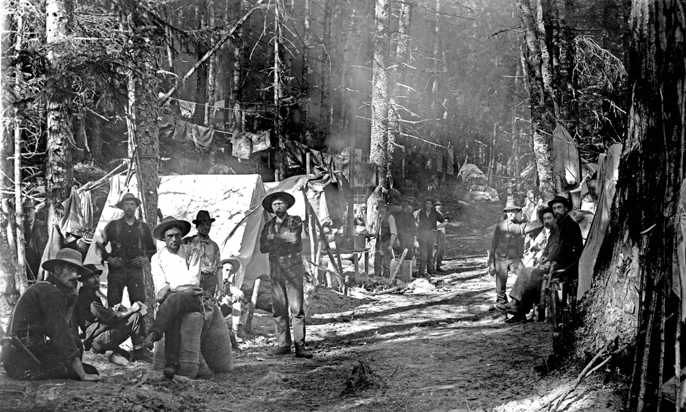

#10 on this list
Chilkoot Trail
Alaska / BC
53 km following the Klondike gold-rush route from Skagway to Bennett Lake. History and coastal rainforest.
- Price
- Check current price
- Reader rating
- No reader votes yet
- How we assessed it
- Specification researched

#1 on this list
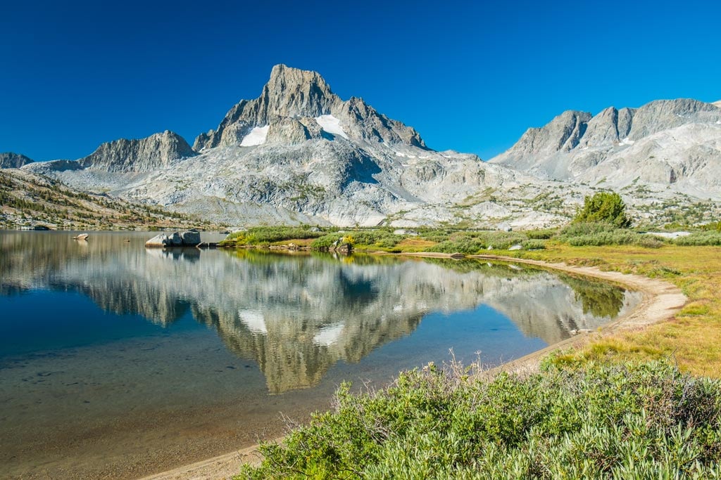
John Muir Trail
California, USA
340 km through the High Sierra. Permit-heavy, unmatched alpine scenery.
- Price
- Check current price
- Reader rating
- No reader votes yet
- How we assessed it
- Specification researched
Specs side by side
| Spec | Chilkoot Trail | John Muir Trail |
|---|---|---|
| Distance | 33 miles (53 km) | — |
| Starting Point | Dyea, Alaska | — |
| Ending Point | Bennett, British Columbia | — |
| Max Elevation | 3,500 ft (1,067 m) at Chilkoot Pass | — |
| Typical Duration | 3-5 days | — |
| Permits | Required (US NPS / Parks Canada) | Required for all overnight stays |
| Location | — | High Sierra, California, USA |
| Length | — | 211 miles (340 km) |
| Start | — | Happy Isles, Yosemite Valley |
| End | — | Mount Whitney Summit |
| Elevation Gain | — | Approximately 47,000 ft (14,300 m) |
| Best Season | — | July to September |
What our reviewers liked and didn't
Chilkoot Trail
- Unparalleled historical immersion with abundant artifacts
- Stunning and diverse landscapes from coast to interior
- Well-maintained trail with established campsites and bear caches
- Sense of accomplishment on a genuinely challenging route
- Unique international border crossing on foot
- Unpredictable and often wet weather, even in summer
- Permits and logistical planning can be complex
- Significant potential for crowds during peak season
- Can be expensive due to train return trip and international travel
John Muir Trail
- Uninterrupted high-alpine scenery for 211 miles
- World-class wilderness experience
- Well-maintained trail infrastructure
- Opportunity for profound personal challenge and growth
- Abundant natural water sources (seasonal)
- Extremely difficult to obtain permits
- Can be crowded in peak season
- Significant elevation gain and exposure to elements
- Requires extensive planning and logistical coordination
- Potential for dangerous river crossings and unpredictable weather
Prices change constantly — the figure shown is the last verified catalog price, and the buy buttons always go to the current listing.