



Reader rating
Rate it and you move it. Community ratings re-rank this product inside its Top 10 list.
Expert-picked, reader-ranked. Our editors choose the products and the launch order; member star ratings move picks up or down over time.
The Darwin Basin is arguably the most dramatic alpine setting in Kings Canyon National Park, resting under the hanging glaciers of Mount Darwin and Mount Mendel. The upper lakes, stair-stepped between 11,500 and 11,700 feet along Darwin Bench, are fed directly by glacial runoff. The water carries an ethereal, milky-teal hue that provides cover for wary golden trout foraging along the shallow boulder edges. The upper Darwin lakes are deep rock sinks carved into crystalline quartz monzonite. While the glacial silt suppresses heavy weed growth, the lakes produce prolific hatches of small midges during warm summer afternoons. The resident goldens are extraordinarily colorful, exhibiting crisp black spotting focused strictly above the lateral line and intensely red throat slashes. They are opportunistic feeders, eager to strike dry flies during short lulls in the alpine wind. The fastest entry point is via North Lake out of Bishop, crossing Lamarck Col at nearly 13,000 feet. This is a formidable mountaineering route requiring comfort on steep snowfields, loose headwalls, and sustained Class 2-3 scree before descending into the basin. Alternatively, a longer, less technical approach winds up Evolution Valley via the John Muir Trail, demanding several days of trail hiking.
Pros
- Glacial water tint reduces fish wariness along shoreline shelves
- Striking high-alpine setting beneath hanging glaciers and 13,000-foot peaks
- Isolated basin stays relatively quiet compared to nearby Evolution Valley
- Vibrant pure-strain golden trout that aggressively take dry flies
Cons
- Demanding off-trail navigation over steep, loose Class 2-3 mountain passes
- Completely treeless camps exposed to violent alpine winds and lightning
- Narrow weather window limited to late summer and early autumn
Best uses
- Technical alpine fly fishing
- Cross-country high route backpacking
- Solitary backcountry trout hunting
- Wilderness landscape photography
Specifications
- Elevation
- 11,500 to 11,700 feet
- Location
- Northern Kings Canyon National Park
- Target Species
- California golden trout
- Primary Access
- Lamarck Col (Class 2-3) or Evolution Valley
- Trailhead
- North Lake near Bishop, California
- Wilderness Area
- John Muir and Kings Canyon Wilderness
Best for
Technical alpine fly fishing, Cross-country high route backpacking, Solitary backcountry trout hunting, Wilderness landscape photography
Tucked into the northern ramparts of Kings Canyon beneath Mount Darwin and Mount Mendel, these stair-stepped glacial tarns sit between 11,500 and 11,700 feet. The water carries a distinct milky-teal hue, colored by fine suspended silt washing out of hanging ice fields above. That cloudy tint is a blessing for fly anglers pursuing high-elevation golden trout; unlike the gin-clear glass of typical Sierra tarns, this water breaks up leader shadows and gives wary fish enough confidence to cruise shoreline boulder shelves. Reaching the basin demands respect for serious backcountry terrain. The direct route out of North Lake requires hauling a loaded pack over 12,900-foot Lamarck Col, traversing steep snow and loose Class 2 to 3 talus before dropping into the cirque. The alternate path winds up Evolution Valley via the John Muir Trail, trading steep technical scrambling for multiple days of trail pounding. Up here, timberline is far below. Camps are pitched on stark gravel benches exposed to fierce alpine weather, where cooking fuel burns quickly and tents must withstand buffeting winds. The fishing rewards patience and careful observation. Because glacial flour dampens heavy weed growth, resident trout hunt midges, small caddis, and terrestrial insects blown onto the surface. When afternoon wind dies down, brilliant crimson-bellied goldens rise with sudden aggression in the cold shallows.
Geography and Alpine Terrain
The upper basin is a raw amphitheater of crystalline quartz monzonite chiseled deep by ice. Glaciers clinging to the north faces of Mount Darwin and Mount Mendel continuously feed the upper tarns with cold, silt-laden water. The lakes lack aquatic vegetation, formed instead as stark stone basins linked by cascade chutes and boulder-strewn washes. Navigating between the water bodies requires steady footing over unstable moraines, steep talus fields, and polished bedrock ramps. Camping space is strictly limited to sparse gravel benches and flat granite slabs completely exposed above the tree line. Water temperatures rarely rise above the mid-forties, warming just enough by mid-August to spur insect life along shallow inlet bars and shoreline drop-offs.
Weather Windows and Timing
Because of the high altitude and north-facing orientation, ice out rarely finishes before late July, and lingering snowfields defend Lamarck Col well into midsummer after heavy winters. The prime window for angling runs strictly from early August through mid-September. Summer mornings typically break clear and calm, offering brief periods of glassy water before brutal alpine breezes kick up by noon. Monsoonal moisture pushes in from the south during late summer, building towering thunderheads over the Goddard Divide with little warning. Lightning exposure is absolute in this treeless basin, meaning you must identify low-lying shelter well before storms hit. By mid-September, overnight temperatures plunge into the teens, skim-icing the shallow lake margins.
Wildlife and High Basin Ecology
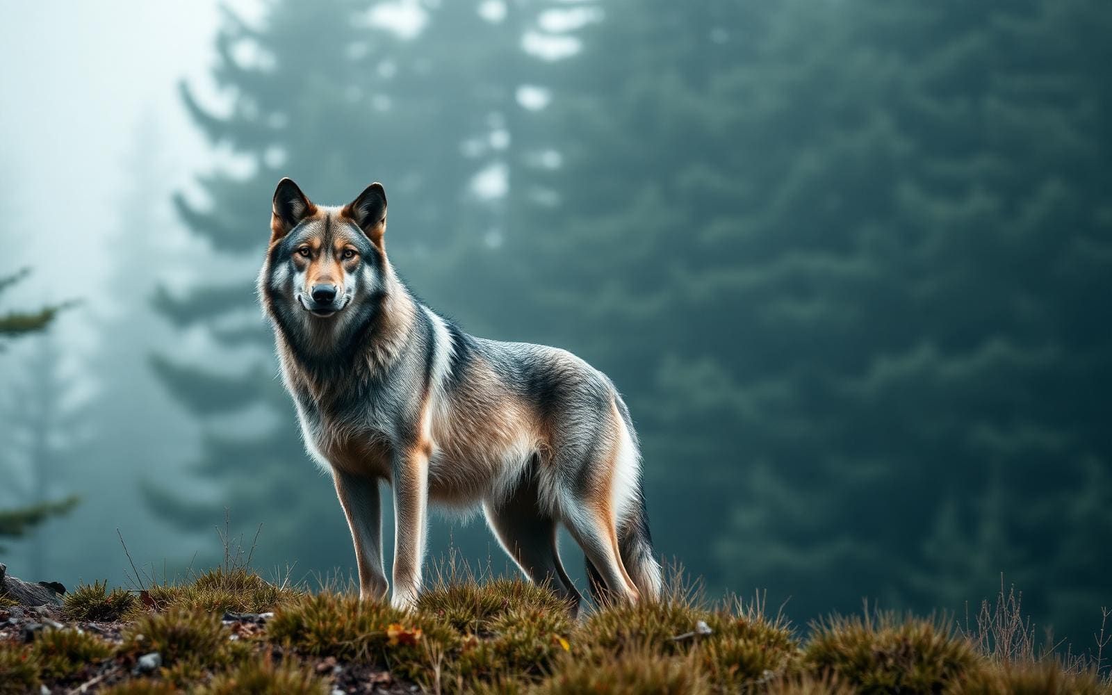
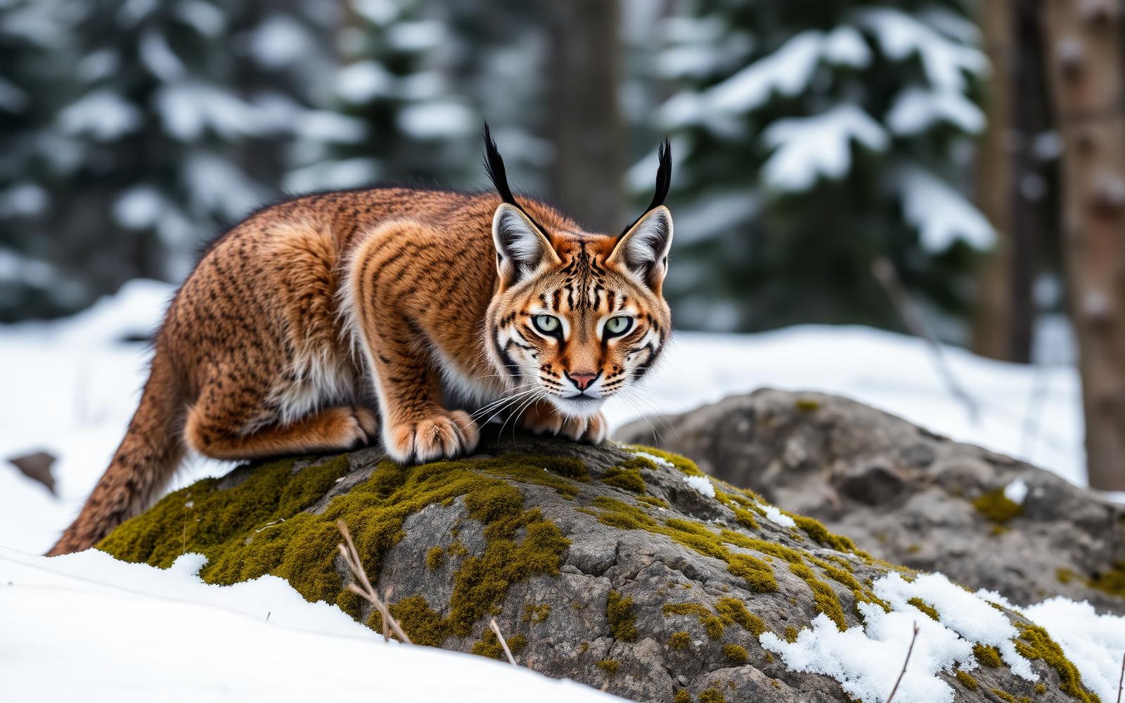
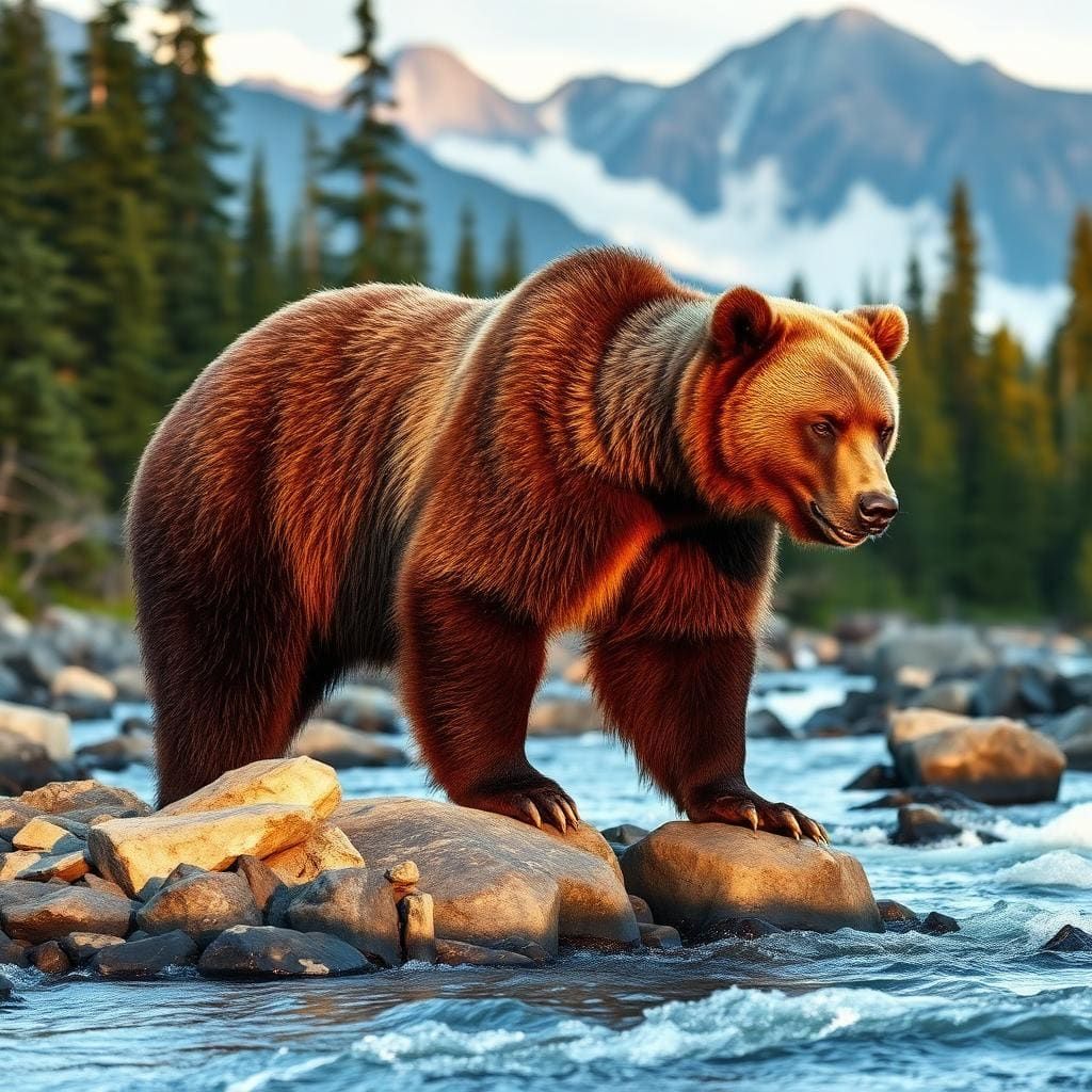
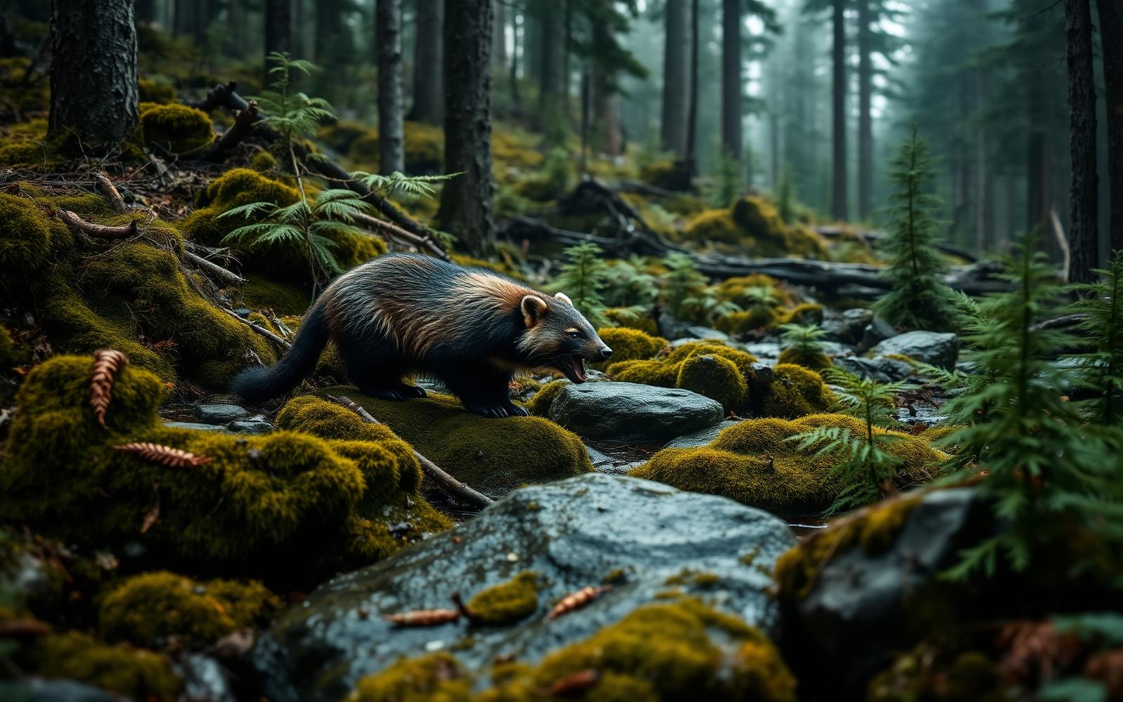
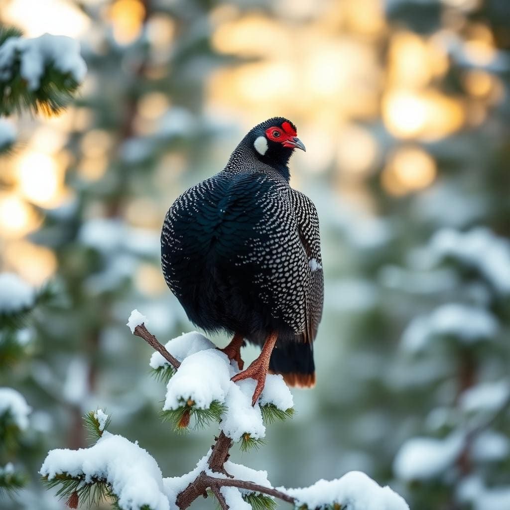
Ecosystems above 11,500 feet operate on razor-thin margins. While large mammals are scarce in the basin's inner rock bowl, you will regularly cross paths with yellow-bellied marmots guarding talus piles and energetic pikas caching alpine grasses among the scree. Clark's nutcrackers work the sparse krummholz pines lower down Darwin Bench, while golden eagles hunt the cliff faces flanking the surrounding peaks. Sierra Nevada bighorn sheep periodically utilize the high ridgelines, though human encounters remain rare. Below the surface, golden trout dominate the food web, feeding opportunistically on midges, micro-caddis pupae, and wind-drifted beetles blown from adjacent summits onto the cold surface film.
High Routes and Approaches
Anglers face two vastly different routes into the basin. The fast mountaineer approach leaves North Lake outside Bishop, climbing through Lamarck Lakes before ascending a grueling talus chute and semi-permanent snowfield to cross 12,900-foot Lamarck Col. The descent requires picking through loose headwall scree and massive car-sized talus blocks where a single misstep risks serious injury miles from rescue. For backpackers seeking to avoid technical snow and loose scrambles, the alternate approach follows trails up the length of Evolution Valley before ascending the steep path to Darwin Bench. This scenic trail route adds roughly thirty miles and requires three days of steady hiking in each direction.
Permits and Wilderness Regulations
Wilderness permits issued via Recreation.gov through Inyo National Forest or Sierra National Forest are mandatory for overnight stays. Quotas along the North Lake corridor are fiercely competitive and routinely book full months in advance. Bear canisters approved by the Interagency Grizzly Bear Committee are legally required throughout Kings Canyon National Park; hang methods are illegal and impossible in this treeless environment. Wood fires are banned across the entire basin due to elevation restrictions. Anglers must carry a valid California fishing license and should practice strict catch-and-release with barbless hooks to protect slow-maturing native trout in these fragile waters.
Hazards and Honest Trade-Offs
This is not a casual backcountry weekend. The thin air above 11,500 feet magnifies exertion and dehydration, making acute mountain sickness a constant threat for hikers rushing up from Owens Valley without acclimatization. The open cirque offers zero shelter from wind, hail, or lightning, which can pin you inside a tent for entire afternoons. Maneuvering around the boulder-strewn shorelines demands constant focus, as a broken ankle here requires an involved, high-risk evacuation. Furthermore, the glacial turbidity that provides fish cover can make sight-casting frustrating on overcast days. You trade easy trails, warm camps, and simple logistics for rugged solitude and brilliant wild trout.
How we chose
We built this ranking from land-manager and agency sources, permit records and published trip reports. Each of the 10 places was compared against the same criteria below. This is desk research unless a pick is marked field tested.
- Quality of the terrain
- Landscape, route variety, and whether the place rewards multiple days rather than one overlook.
- Season and weather windows
- How long the reliable window is, and how badly the shoulder seasons punish a bad forecast.
- Access and permits
- Trailhead logistics, permit odds, quotas, and how much lead time a trip realistically takes.
- Solitude vs. crowding
- How far you have to walk before the place feels like wilderness instead of a queue.
- Wildlife and ecology
- What you can reasonably expect to see, and what you have to plan around.
- Risk and skill required
- Navigation, water crossings, exposure, and rescue distance — stated plainly.
Darwin Lakes (Upper) — frequently asked questions
- Is Darwin Lakes (Upper) worth the trip?
- We rank it #6 in Sierra Golden Trout Lakes. The Darwin Basin is arguably the most dramatic alpine setting in Kings Canyon National Park, resting under the hanging glaciers of Mount Darwin and Mount Mendel. The upper lakes, stair-stepped between 11,500 and 11,700 feet along Darwin Bench, are fed directly by glacial runoff.
- Who is Darwin Lakes (Upper) best for?
- Best for technical alpine fly fishing, cross-country high route backpacking, solitary backcountry trout hunting and wilderness landscape photography. Standouts: glacial water tint reduces fish wariness along shoreline shelves and striking high-alpine setting beneath hanging glaciers and 13,000-foot peaks.
- What are the drawbacks of Darwin Lakes (Upper)?
- Demanding off-trail navigation over steep, loose Class 2-3 mountain passes, Completely treeless camps exposed to violent alpine winds and lightning and Narrow weather window limited to late summer and early autumn.
- What are the key details for Darwin Lakes (Upper)?
- Elevation: 11,500 to 11,700 feet · Location: Northern Kings Canyon National Park · Target Species: California golden trout · Primary Access: Lamarck Col (Class 2-3) or Evolution Valley · Trailhead: North Lake near Bishop, California
- Geography and Alpine Terrain — what should I know about the Darwin Lakes (Upper)?
- The upper basin is a raw amphitheater of crystalline quartz monzonite chiseled deep by ice. Glaciers clinging to the north faces of Mount Darwin and Mount Mendel continuously feed the upper tarns with cold, silt-laden water.
- Weather Windows and Timing — what should I know about the Darwin Lakes (Upper)?
- Because of the high altitude and north-facing orientation, ice out rarely finishes before late July, and lingering snowfields defend Lamarck Col well into midsummer after heavy winters. The prime window for angling runs strictly from early August through mid-September.
Where on earth
Satellite imagery flying in from a world view to Darwin Lakes (Upper), Montana, United States. Use the + / − buttons, or click the map to zoom with your scroll wheel; drag to pan and pinch to zoom on touch.
Golden Trout Lakes, Montana 59730, USA · 45.234, -111.134
Wildlife found around Darwin Lakes (Upper)



Compare side by side
Put the Darwin Lakes (Upper) against any other pick on this list — specs, price, pros, cons and reader ratings.