



Reader rating
Rate it and you move it. Community ratings re-rank this product inside its Top 10 list.
Expert-picked, reader-ranked. Our editors choose the products and the launch order; member star ratings move picks up or down over time.
Perched at 10,580 feet in the glacial trench beneath Fremont and Jackson Peaks, Upper Titcomb Lake is the crown jewel of high-altitude angling in the Winds. The water here is cold, mineral-lean, and turquoise from granite flour. Despite the sterile appearance, healthy populations of golden-cutthroat hybrids and pure golden trout cruise the rocky drop-offs, foraging along underwater scree slopes. Access requires a committed 15-mile trek from the Elkhart Park Trailhead near Pinedale, following the Pole Creek and Seneca Lake trails past Island Lake before entering the basin proper. Late July through August is the sole viable window; ice can lock the outlet well into July, and winter conditions regularly arrive by Labor Day. Camping is prohibited within 200 feet of the water to protect the fragile alpine tundra, so most anglers base camp at the lower basin or Island Lake and day-hike the upper shelf with light fly tackle. Fish here are opportunistic yet cautious. Because the growing season is minuscule, they will inspect black gnats, Griffith's Gnats, and small scuds, but any sloppy casting or heavy footfall sends them bolting into the deep cobalt center. **Highlights** * Elevation: 10,580 feet * Target species: Golden trout, golden-cutthroat hybrids * Mileage: Roughly 30 to 32 miles round-trip via Elkhart Park * Dramatic setting directly under 13,000-foot peaks * Abundant sight-casting along shallow granite shelves **Watch-outs** * Completely exposed with zero tree cover or storm shelter * Camping bans within 200 feet of lakes and streams throughout the basin * Heavy summer hiker traffic along the main approach trail
Pros
- World-class alpine scenery surrounded by sheer 13,000-foot granite summits
- Genuine opportunity to sight-fish for wild golden trout and hybrids
- Pristine water clarity ideal for stalking fish along submerged drop-offs
- Expansive shoreline access with endless underwater shelves and boulder structure
Cons
- Zero tree cover leaves anglers completely exposed to sudden mountain lightning
- Heavily traveled approach corridor with dense trail crowds around Island Lake
- Short open-water window often limited to six weeks between thaws
Best uses
- Alpine backcountry fly fishing
- Targeting wild golden trout
- Multi-day wilderness pack trips
- High-country technical sight-casting
Specifications
- Elevation
- 10,580 feet
- Location
- Bridger Wilderness, Wyoming
- Route Distance
- 30 to 32 miles round-trip
- Target Species
- Golden trout, golden-cutthroat hybrids
- Primary Trailhead
- Elkhart Park Trailhead near Pinedale
- Land Manager
- USFS / Bridger-Teton National Forest
Best for
Alpine backcountry fly fishing, Targeting wild golden trout, Multi-day wilderness pack trips, High-country technical sight-casting
Carved into the granite spine of the Wind River Range, Upper Titcomb Lake sits at 10,580 feet in an amphitheater dominated by Mount Helen, Mount Sacagawea, and Fremont Peak. The water is cold, sterile, and tinted pale turquoise by suspended glacial flour, flanked by polished bedrock, scree fields, and thin alpine turf. It is a severe, high-altitude landscape where trees disappear miles downstream and weather dictates every hour on the water. Beneath the surface, high-elevation trout—notably golden trout and golden-cutthroat hybrids—eke out an existence along boulder drops and submerged ledges. These fish endure months under thick sheet ice and emerge hungry during the brief midsummer thaw. Because the water is clear and the margins are wide open, cruising fish spot sloppy presentations instantly, forcing anglers to crawl across granite benches and throw delicate dry-fly or nymph rigs on long leaders. Getting here is an endurance test. The one-way trek from Elkhart Park covers roughly fifteen miles and several thousand feet of cumulative elevation gain, passing Island Lake before ascending into the Titcomb Basin trench. The reward is not trophy mass, but vibrant, wild high-country fish caught against one of the most formidable alpine backdrops in the American West.
Glacial Geography and Granite Shelves
The lake occupies the upper tier of a massive U-shaped glacial canyon scoured into Precambrian gneiss and granite. Vertical walls rise directly from the talus slopes on both flanks, leaving little margin between shoreline rubble and deep water. The lake bed is a complex puzzle of submerged scree, narrow sand flats, and boulder hummocks that drop steeply into deep cobalt troughs. Because the drainage feeds directly from receding glaciers and perennial snowpack up on Dinwoody Pass, water temperatures hover near forty degrees Fahrenheit even on sunny summer afternoons. Water clarity is high, though afternoon winds and melt pulses introduce slight glacial milkiness that can either obscure fish or provide anglers with enough refraction to conceal a fine tippet. Navigating the perimeter requires steady hopping across unstable ankle-biting rocks, so sturdy mountain footwear is as critical as your fly box.
Summer Windows and Alpine Volatility
Anglers have a remarkably narrow operating window here. Ice-off rarely concludes before early to mid-July, and heavy snowstorms can shut down the basin by late August or early September. The optimal period runs from late July through the third week of August, when the trail is generally snow-free and insect activity peaks on warm afternoons. Even during this prime window, morning calms typically give way to relentless afternoon wind tunnels blowing down from the Continental Divide. Severe electrical storms build over the high ridges with terrifying speed, dropping temperatures twenty degrees in minutes and spitting graupel, sleet, or driving rain. Once lightning starts striking the surrounding 13,000-foot summits, the basin becomes an indefensible bowl of exposed rock. Anglers must watch the sky constantly, stash graphite rods at the first rumble of thunder, and know their retreat route.
Trout Behavior and Sight Fishing
The resident goldens and hybrids have adapted to an abbreviated growing season, making them opportunistic yet easily spooked. They cruise regular patrol circuits along the edge of drop-offs, picking chironomid pupae, midge clusters, and wind-blown terrestrial insects off the film. Sight-casting is the primary game. Standing upright on a high granite bench silhouettes you against the sky and sends cruising cruisers bolting toward the deep middle. Successful approaches require staying low, kneeling on tundra patches, and leading cruising targets by several feet with dry flies like a size 16 parachute Adams, Griffith's Gnat, or small black ant patterns. When fish refuse dries, dropping a weighted pheasant tail, scud, or zebra midge below an indicator often produces takes. Play fish quickly and handle them gently in cold water; their margins for survival at this elevation are razor-thin.
Approach via the Highline Corridor
The approach begins at the Elkhart Park Trailhead, situated at 9,360 feet, fifteen miles northeast of Pinedale. Hikers take the Pole Creek Trail past Photographer's Point before navigating the relentless ups and downs of the Seneca Lake Trail and joining the Indian Pass Trail above Island Lake. It is roughly twelve miles to Island Lake, where many backpackers establish a base camp before tackling the final three-mile push north into the Titcomb Basin. The trail climbs steadily past the lower lakes, crossing granite slabs, creek outlets, and willow benches. Pack light, carry a water filter to take advantage of frequent mountain runoff, and acclimate properly before attempting the hike with a full pack. The cumulative elevation gain on both the inbound and outbound trek wears down legs that are unprepared for sustained high-altitude backpacking.
Wilderness Regulations and Campsite Strategy
The Bridger Wilderness enforces strict regulations to preserve fragile subalpine soils and water quality. Camping and campfires are strictly prohibited within 200 feet of lakes, streams, and system trails, and campfires are banned outright above 10,000 feet, which includes the entirety of Titcomb Basin. You will need a reliable canister stove to cook. Finding durable, flat surfaces that meet setback requirements inside the upper basin is exceptionally difficult due to steep rock and saturated tundra, prompting the Forest Service to strongly encourage camping on established gravel sites near Island Lake or the lower basin threshold. A valid Wyoming fishing license is required for all anglers, and bear canisters or certified counter-balance hangs are mandatory gear, as both black bears and grizzly bears actively patrol the subalpine drainages throughout the range.
Lightning, Crowds, and Exposure Hazards
Solitude can be elusive during the peak August season. Titcomb Basin is one of the premier backpacking destinations in the Northern Rockies, and you will share the approach trail and popular viewpoints with climbers, through-hikers, and photographers. Beyond trail traffic, the primary objective hazard is the utter lack of shelter. There are no trees for miles once you pass above Island Lake, leaving you entirely unprotected from wind, freezing rain, and lightning strikes. If an afternoon storm catches you at the far northern end of the upper lake, you face a miles-long scramble across slick wet talus to escape high ground. Altitude sickness is another routine factor; pushing directly from low elevation to nearly 11,000 feet with forty pounds on your back frequently triggers nausea and exhaustion.
How we chose
We built this ranking from land-manager and agency sources, permit records and published trip reports. Each of the 10 places was compared against the same criteria below. This is desk research unless a pick is marked field tested.
- Quality of the terrain
- Landscape, route variety, and whether the place rewards multiple days rather than one overlook.
- Season and weather windows
- How long the reliable window is, and how badly the shoulder seasons punish a bad forecast.
- Access and permits
- Trailhead logistics, permit odds, quotas, and how much lead time a trip realistically takes.
- Solitude vs. crowding
- How far you have to walk before the place feels like wilderness instead of a queue.
- Wildlife and ecology
- What you can reasonably expect to see, and what you have to plan around.
- Risk and skill required
- Navigation, water crossings, exposure, and rescue distance — stated plainly.
Upper Titcomb Lake — frequently asked questions
- Is Upper Titcomb Lake worth the trip?
- We rank it #1 in Top 10 Wind River Trout Lakes. Perched at 10,580 feet in the glacial trench beneath Fremont and Jackson Peaks, Upper Titcomb Lake is the crown jewel of high-altitude angling in the Winds. The water here is cold, mineral-lean, and turquoise from granite flour.
- Who is Upper Titcomb Lake best for?
- Best for alpine backcountry fly fishing, targeting wild golden trout, multi-day wilderness pack trips and high-country technical sight-casting. Standouts: world-class alpine scenery surrounded by sheer 13,000-foot granite summits and genuine opportunity to sight-fish for wild golden trout and hybrids.
- What are the drawbacks of Upper Titcomb Lake?
- Zero tree cover leaves anglers completely exposed to sudden mountain lightning, Heavily traveled approach corridor with dense trail crowds around Island Lake and Short open-water window often limited to six weeks between thaws.
- What are the key details for Upper Titcomb Lake?
- Elevation: 10,580 feet · Location: Bridger Wilderness, Wyoming · Route Distance: 30 to 32 miles round-trip · Target Species: Golden trout, golden-cutthroat hybrids · Primary Trailhead: Elkhart Park Trailhead near Pinedale
- Glacial Geography and Granite Shelves — what should I know about the Upper Titcomb Lake?
- The lake occupies the upper tier of a massive U-shaped glacial canyon scoured into Precambrian gneiss and granite. Vertical walls rise directly from the talus slopes on both flanks, leaving little margin between shoreline rubble and deep water.
- Summer Windows and Alpine Volatility — what should I know about the Upper Titcomb Lake?
- Anglers have a remarkably narrow operating window here. Ice-off rarely concludes before early to mid-July, and heavy snowstorms can shut down the basin by late August or early September.
Where on earth
Satellite imagery flying in from a world view to Upper Titcomb Lake, Wyoming, United States. Use the + / − buttons, or click the map to zoom with your scroll wheel; drag to pan and pinch to zoom on touch.
Titcomb Lakes, Wyoming 82925, USA · 43.118, -109.639
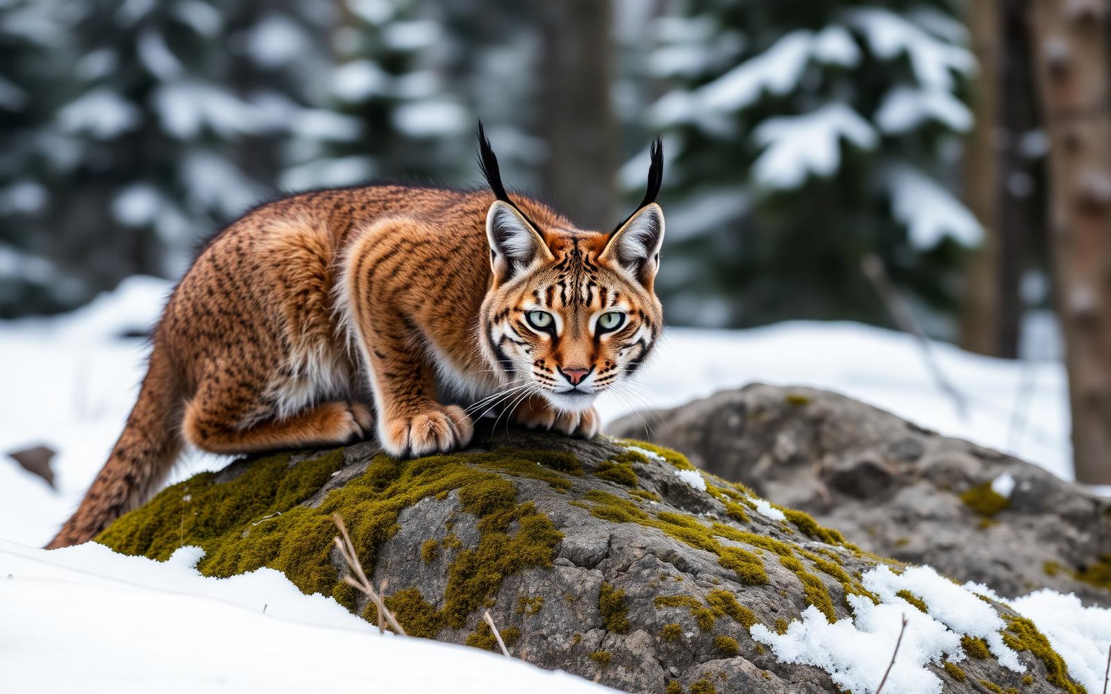
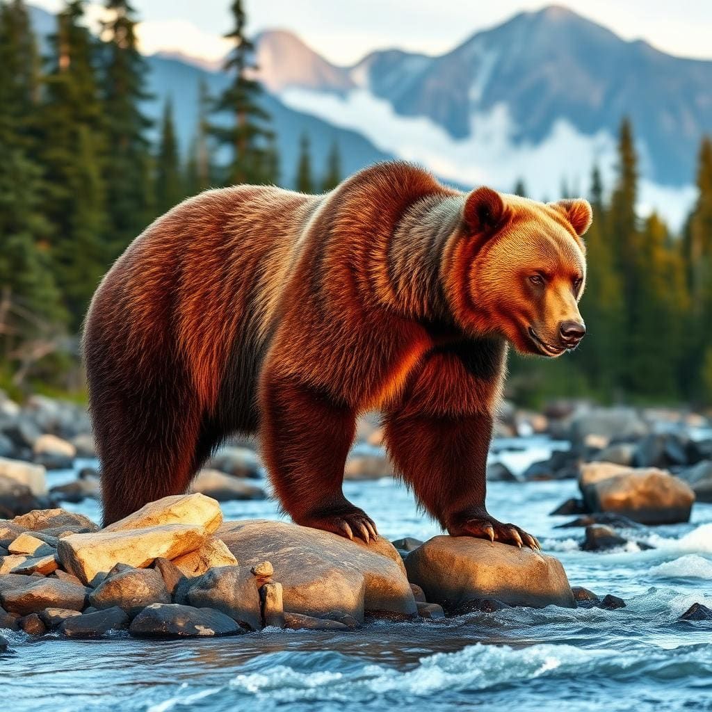
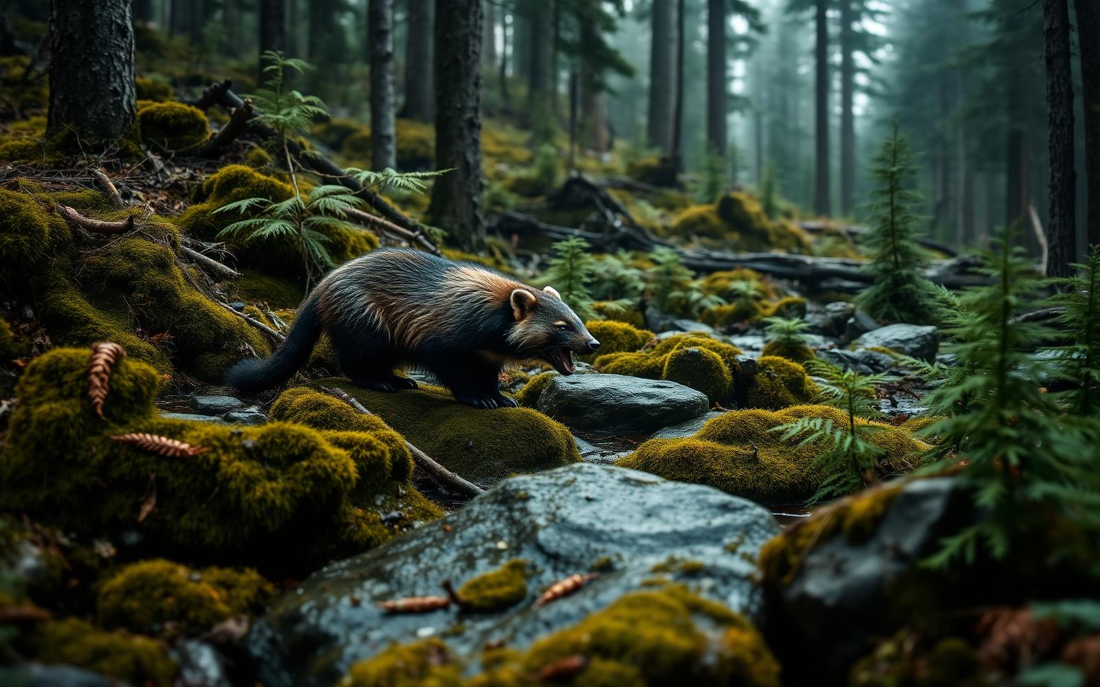
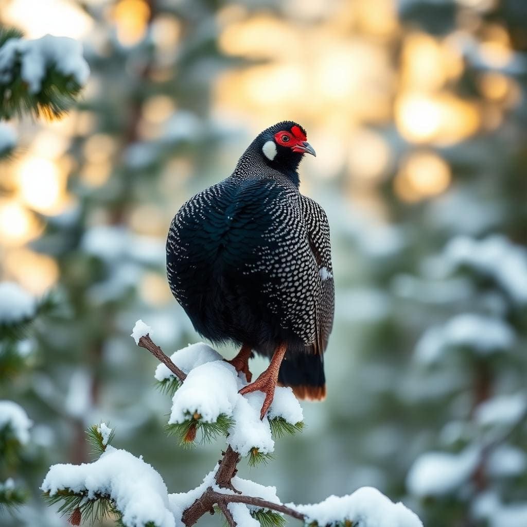
Wildlife found around Upper Titcomb Lake




Compare side by side
Put the Upper Titcomb Lake against any other pick on this list — specs, price, pros, cons and reader ratings.