



Reader rating
Rate it and you move it. Community ratings re-rank this product inside its Top 10 list.
Expert-picked, reader-ranked. Our editors choose the products and the launch order; member star ratings move picks up or down over time.
Perched on the upper Texas coast along East Galveston Bay, Anahuac covers 37,000 acres of coastal prairie, brackish bayous, and freshwater impoundments. It is one of the premier winter terminal points for the Central Flyway. By December, the refuge holds hundreds of thousands of wintering waterfowl that settle in for the season, alongside year-round alligators and wading birds. The town of Anahuac sits 20 miles to the west, and Winnie provides highway services to the northeast. A 12-mile gravel auto tour wraps around Shoveler Pond, putting visitors within yards of massive mixed rafts of dabbling and diving ducks. You do not need extreme fitness, but you must stay alert: American alligators sun themselves directly on the gravel roads and boat slips. No entrance fees are required. While the winter weather is generally mild compared to the plains, coastal squalls blow in dense fog and torrential rain, and humidity makes 40 degrees feel raw. Hunting is heavily regulated through seasonal permit lotteries on specific public marsh units.
Pros
- Close-range waterfowl viewing directly from your vehicle
- Free year-round public access with zero entrance fees
- High density of wintering dabblers, divers, and snow geese
- Well-regulated public marsh duck hunting program
Cons
- Treacherous gumbo mud off gravel levee roads
- Relentless mosquitoes during warm winter spells
- Alligators sun on access roads and boat ramps
Best uses
- Winter waterfowl photography
- Vehicle-based birding tours
- Public marsh duck hunting
- Gulf Coast bird watching
Specifications
- Location
- Chambers County, Texas
- Total Area
- 37,000 acres
- Managing Agency
- U.S. Fish and Wildlife Service
- Entry Fee
- Free
- Prime Season
- November through February
- Key Wildlife
- Snow geese, pintails, green-winged teal, alligators
Best for
Winter waterfowl photography, Vehicle-based birding tours, Public marsh duck hunting, Gulf Coast bird watching
Sprawling across coastal prairie and brackish marshlands on the upper Texas coast, Anahuac National Wildlife Refuge serves as a vital winter terminus for the Central Flyway. Situated just inland from East Galveston Bay, this 37,000-acre refuge gathers staggering numbers of wintering waterfowl fleeing frozen northern breeding grounds. Freshwater impoundments cut through extensive cordgrass flats, giving dabblers, divers, and geese a reliable, nutrient-rich sanctuary from late fall through early spring. Exploration here is largely self-guided and vehicle-friendly, centered around well-maintained gravel levee roads and footpaths like the Shoveler Pond loop. Birders, waterfowlers, and wildlife photographers share space along water margins lined with bullrush and cattails. Yet the wildness remains acute; thick coastal mud will punish a careless tire, American alligators patrol every ditch, and sudden maritime cold fronts can quickly turn humid mornings into bone-chilling, wind-swept tests of endurance. It is an honest, hardworking Gulf Coast landscape designed for observation and conservation without modern resort frills.
Coastal Prairie and Bayous
The refuge occupies a low, waterlogged boundary where flat coastal prairie merges into East Galveston Bay. Its footprint consists of saline flats, brackish bayous, and carefully managed freshwater moist-soil units. Canals and water control structures dictate the landscape, retaining freshwater runoff from the surrounding agricultural country to grow native seed-producing plants like smartweed and millet. Water levels are manipulated seasonally to mimic historic wet-and-dry cycles, providing mudflats for early-season shorebirds and deep foraging pools for diving ducks. Walking the perimeter puts you on raised levee crowns surrounded by dense stands of smooth cordgrass, sea ox-eye daisy, and coastal sacahuista. It is a completely horizontal world where changes in elevation are measured in inches, meaning even minor tidal surges or downpours dramatically shift where birds can feed and loaf.
Peak Migration Windows
While resident mottled ducks, herons, and egrets live here year-round, migration activity surges in October when blue-winged teal and early shorebirds pour across the Gulf Coast. The real spectacle begins in late November and peaks in December and January, when hundreds of thousands of northern waterfowl fill the marsh. You will encounter dense rafts of northern shovelers, green-winged teal, gadwall, and northern pintails packed tightly into the freshwater impoundments. Snow, Ross's, and greater white-fronted geese frequently graze in surrounding agricultural stubble before dropping into the refuge to roost. Diving ducks, including lesser scaup, canvasbacks, and ring-necked ducks, work the deeper open waters of the bayous and impoundments. February brings courtship displays and thinning numbers as the birds begin preparing their reverse push northward.
Driving the Levee Circuit
The centerpiece of public access is the 12-mile gravel auto tour wrapping around Shoveler Pond. Your vehicle acts as a rolling blind, allowing you to edge within dozens of feet of ducks that would instantly flush if approached on foot. The gravel route is flat and navigable by standard passenger cars under normal dry conditions, with several pullouts and observation platforms offering scope setups across the open water. Short walking spurs, including an accessible boardwalk into the marsh interior, provide elevated vantage points above the tall reeds. Photographers should work the loop early in the morning when golden light catches feeding pintails and wading birds hunting along the ditch margins. Driving slowly with the windows down yields an audible wall of wingbeats, chuckles, and quacks that defines the refuge experience.
Hunting Units and Quotas
Waterfowl hunting is permitted on designated public marsh tracts during state seasons, primarily within the Pace and Middleton tracts. The program is heavily regulated to balance sporting opportunity with waterfowl sanctuary needs. Hunters must navigate seasonal walk-in areas or lottery-drawn blind sites, with strict quotas on hunter numbers, specific hunting days (typically weekend mornings and Wednesdays), and noon shutoff times to let birds rest. Walking into these coastal marshes requires heavy-duty waders and solid fitness; the substrate ranges from firm sand to knee-deep suction mud that will pull a boot clean off. All hunters must adhere to non-toxic shot regulations, carry mandatory refuge permits, and know their duck identification on the wing, as mottled ducks and canvasbacks have tight species-specific limits.
Weather, Mud, and Gators
Winter on the upper Texas coast is erratic. While mild days in the sixties are common, blue northers slam through the flats with zero topographical relief to break the wind. High ambient humidity combined with a 30-knot wind makes 40 degrees feel bitterly cold, demanding windproof layers and waterproof outerwear. When rain hits, the refuge dirt shoulders turn into slick gumbo mud; straying off gravel levee centers will slide a vehicle into the ditch without warning. American alligators are ubiquitous year-round. Even on cool winter afternoons, massive gators crawl out of the marsh to sun themselves directly on the gravel roads and boat launches. Keep a wide perimeter, leave dogs on short leashes, and never step backward into high vegetation without looking down.
Nearby Staging and Logistics
Anahuac is a daylight-only refuge with no public campgrounds, potable water, or concession stands, making self-reliance mandatory. Fuel, basic field groceries, and boxed shells are found roughly twenty miles away in the small towns of Winnie or Anahuac. For lodging, Winnie offers standard interstate motels that cater to hunters and birders, while RV parks are scattered along the Interstate 10 corridor. Bring high-rubber boots, a reliable thermos, spare lens wipes to cut through salt-spray humidity, and potent insect repellent, because warm afternoons between winter fronts wake up voracious coastal mosquitoes. Pack out all trash, yield the levee crowns to oncoming traffic, and check the official website before heading out, as storm tides and structural maintenance can temporarily close low-lying interior levee roads.
How we chose
We built this ranking from land-manager and agency sources, permit records and published trip reports. Each of the 10 places was compared against the same criteria below. This is desk research unless a pick is marked field tested.
- Quality of the terrain
- Landscape, route variety, and whether the place rewards multiple days rather than one overlook.
- Season and weather windows
- How long the reliable window is, and how badly the shoulder seasons punish a bad forecast.
- Access and permits
- Trailhead logistics, permit odds, quotas, and how much lead time a trip realistically takes.
- Solitude vs. crowding
- How far you have to walk before the place feels like wilderness instead of a queue.
- Wildlife and ecology
- What you can reasonably expect to see, and what you have to plan around.
- Risk and skill required
- Navigation, water crossings, exposure, and rescue distance — stated plainly.
Anahuac National Wildlife Refuge — frequently asked questions
- Is Anahuac National Wildlife Refuge worth the trip?
- We rank it #4 in Central Flyway Waterfowl Refuges. Perched on the upper Texas coast along East Galveston Bay, Anahuac covers 37,000 acres of coastal prairie, brackish bayous, and freshwater impoundments. It is one of the premier winter terminal points for the Central Flyway.
- Who is Anahuac National Wildlife Refuge best for?
- Best for winter waterfowl photography, vehicle-based birding tours, public marsh duck hunting and gulf coast bird watching. Standouts: close-range waterfowl viewing directly from your vehicle and free year-round public access with zero entrance fees.
- What are the drawbacks of Anahuac National Wildlife Refuge?
- Treacherous gumbo mud off gravel levee roads, Relentless mosquitoes during warm winter spells and Alligators sun on access roads and boat ramps.
- What are the key details for Anahuac National Wildlife Refuge?
- Location: Chambers County, Texas · Total Area: 37,000 acres · Managing Agency: U.S. Fish and Wildlife Service · Entry Fee: Free · Prime Season: November through February
- Coastal Prairie and Bayous — what should I know about the Anahuac National Wildlife Refuge?
- The refuge occupies a low, waterlogged boundary where flat coastal prairie merges into East Galveston Bay. Its footprint consists of saline flats, brackish bayous, and carefully managed freshwater moist-soil units.
- Peak Migration Windows — what should I know about the Anahuac National Wildlife Refuge?
- While resident mottled ducks, herons, and egrets live here year-round, migration activity surges in October when blue-winged teal and early shorebirds pour across the Gulf Coast. The real spectacle begins in late November and peaks in December and January, when hundreds of thousands of northern waterfowl fill the…
Where on earth
Satellite imagery flying in from a world view to Anahuac National Wildlife Refuge, Texas, United States. Use the + / − buttons, or click the map to zoom with your scroll wheel; drag to pan and pinch to zoom on touch.
Jocelyn Nungaray National Wildlife Refuge, 4318 FM1985, Anahuac, TX 77514, USA · 29.658, -94.547
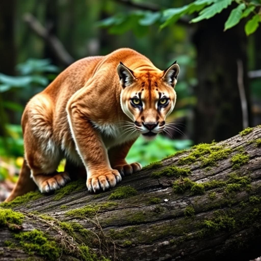
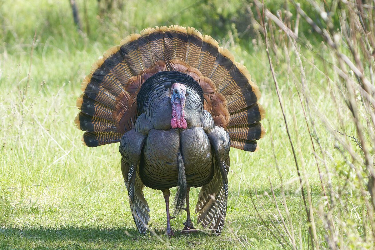
Wildlife found around Anahuac National Wildlife Refuge

Compare side by side
Put the Anahuac National Wildlife Refuge against any other pick on this list — specs, price, pros, cons and reader ratings.