



Reader rating
Rate it and you move it. Community ratings re-rank this product inside its Top 10 list.
Expert-picked, reader-ranked. Our editors choose the products and the launch order; member star ratings move picks up or down over time.
Named after the pioneering waterfowl conservationist, J. Clark Salyer protects 58,700 acres winding along 59 miles of the Souris River. This is the heart of the Prairie Pothole Region, often called North America's duck factory. Millions of ducks are hatched in and pass through this immense network of river meanders, shallow lakes, and managed wetlands before heading down the flyway. Towner and Minot anchor services to the south and west. The refuge provides a 22-mile auto tour route that cuts through the northern marsh units and grassland uplands, alongside five walking trails and a designated canoe trail along the Souris River. Late September through late October offers the peak diversity of puddle ducks before the hard northern freeze locks up the water. There are no entry fees. The environment is brutally remote; fuel and services are distant, and cell phone coverage drops along the river bottoms. Hunters and birders must watch the water levels closely, as dry drought years drastically shrink marsh footprints and divert birds to other regional river basins.
Pros
- Vast, uncrowded public access along 59 miles of pristine river bottom
- World-class waterfowl staging numbers during October migration
- Designated canoe trail through oxbow marshes and quiet sloughs
- Free vehicle and foot access across extensive auto tour loops
Cons
- Dirt and dike roads turn into impassable gumbo after rain
- Rapid freeze-ups can push migrating birds south without warning
- Extremely isolated with minimal services and patchy cell reception
Best uses
- Late autumn duck hunting
- Souris River flatwater paddling
- Prairie Pothole birding
- Central Flyway wildlife photography
Specifications
- Location
- Bottineau and McHenry Counties, North Dakota
- Total Area
- 58,700 acres
- Key Waterway
- 59 miles along the Souris River
- Managing Agency
- U.S. Fish and Wildlife Service
- Primary Access
- 22-mile auto tour route, public boat launches
- Entrance Fee
- None
Best for
Late autumn duck hunting, Souris River flatwater paddling, Prairie Pothole birding, Central Flyway wildlife photography
Tucked along the looping bends of the Souris River in north-central North Dakota, J. Clark Salyer National Wildlife Refuge protects nearly sixty miles of bottomland oxbows, native mixed-grass prairie, and engineered wetlands. The landscape sits squarely in the Prairie Pothole Region, North America's premier duck production zone. It serves a dual identity: a quiet, high-density summer nesting ground for local dabblers, and an expansive autumn staging depot where millions of southward-migrating waterfowl pause to rest and feed. Visiting this refuge feels distinctly old-school and isolated. A 22-mile gravel auto tour slices through the northern impoundments and prairie sandhills, while a designated 13-mile canoe trail follows the slow, looping current of the Souris River. During peak autumn flights, the sky churns with mallards, gadwalls, blue-winged teal, and northern pintails, backed by massive gatherings of snow geese and tundra swans resting on open water. This northern boundary country makes no compromises for unprepared travelers. Towns with fuel and groceries sit miles away, cell reception frequently cuts out along the wooded river bluffs, and unpaved dike roads turn to greasy, impassable gumbo after sudden prairie downpours. It is an unvarnished wilderness stop that rewards patient birders, seasoned waterfowlers, and backcountry paddlers willing to monitor river stages and incoming cold fronts.
Prairie River Geography
The refuge occupies a ribbon-like depression carved out by the ancestral Souris River, framed by gently rolling glacial drift plains and ancient sandhills. Water here moves sluggishly, settling into wide, shallow impoundments, meandering marsh channels, and densely vegetated oxbow cutoffs. Engineered water-control structures across multiple distinct pools allow staff to simulate natural flood-and-drought cycles, encouraging the growth of wild sago pondweed, smartweed, and bulrush. Upland borders transition abruptly from saturated cattail beds to dry mixed-grass prairie studded with green ash, boxelder, and chokecherry thickets. Because the river channel relies heavily on spring runoff and upstream Canadian releases, water levels can swing from bank-full flood stages to shallow, muddy braids within a single season, fundamentally shifting where migrating flocks concentrate across the refuge footprint.
Migration Windows and Weather
Timing a visit hinges on the volatile transition between early autumn and northern plains winter. Blue-winged teal and shorebirds begin filtering through by late August, but late September through the third week of October delivers the genuine spectacle. During this window, northern-bred green-winged teal, wigeon, canvasbacks, and mallards stack up alongside tens of thousands of arctic geese. Visiting in mid-October brings brisk mornings and clear skies, but travelers must track cold fronts closely. A strong polar blast accompanied by sub-freezing daytime highs can freeze the shallow impoundments in less than forty-eight hours, clearing out hundreds of thousands of birds overnight. Spring migration offers an equally stunning return window from mid-April through May, though melting snowpack often closes dirt routes and submerged road crossings.
Waterfowl and Wildlife Diversity
Over 250 bird species use the refuge annually, making it one of the premier avian crossroads in the Upper Midwest. Breeding populations of redheads, canvasbacks, and ruddy ducks establish territories across the dense marsh edges, while American white pelicans and double-crested cormorants colonize secluded sandbars and islands. Five species of grebes breed here, including western and eared grebes whose displays fill early summer mornings with territorial calls. Upland cover shelters sharp-tailed grouse and ring-necked pheasants, while dense river bottom woods harbor white-tailed deer and an expanding moose population frequently spotted wading through the cattail sloughs. Predatory raptors follow the migrating flocks down from Canada, with bald eagles, northern harriers, and prairie falcons actively patrolling the edges of the open pools throughout the fall.
Navigating Roads and Trails
Vehicle exploration centers on the northern scenic auto tour, a 22-mile graded gravel loop cutting through diverse upland and wetland habitats west of Upham. The route provides elevated vantage points along dikes and prairie bluffs, featuring observation blinds and interpretive signposts positioned near high-traffic staging pools. Paddlers can take advantage of the designated canoe trail along the Souris River, which meanders for roughly 13 miles between marked access launches near the refuge headquarters and Johnson Bridge. Current is minimal, making upstream and downstream travel feasible, though downed cottonwoods and shifting mudbanks often demand short portages. Five designated walking trails range from brief timber loops to longer grass paths through native sandhill prairie, offering quiet foot access away from gravel road corridors.
Field Hazards and Isolation
The remote nature of north-central North Dakota requires absolute self-sufficiency in the field. Fuel stations, repair shops, and dining options are absent within the refuge borders and sparse in neighboring farm communities like Towner or Bottineau. Road conditions dictate safety; heavy rains transform the prairie dirt and unpaved dikes into slick gumbo clay that bogs down even high-clearance four-wheel-drive trucks. Cell service drops noticeably in low river bottoms and coulees, so carrying paper maps, recovery gear, extra fuel, and cold-weather emergency layers is mandatory. Summer and early autumn visitors also face relentless swarms of mosquitoes and biting flies along the marsh margins, necessitating heavy-duty insect repellent, permethrin-treated clothing, and head nets for extended stationary glassing.
Regulations and Field Access
The refuge is open for day use from sunrise to sunset, with no entry permits or parking fees required. Waterfowl, upland bird, and big-game hunting are permitted within designated zones in strict accordance with federal and North Dakota state seasons, though hunters must check refuge-specific brochures to identify no-hunting safety buffers around administrative areas and specific bird sanctuaries. Only approved non-toxic shot is permitted for all shotgun hunting across refuge lands. Motorized watercraft are restricted or subject to slow, no-wake speeds to prevent nest and shoreline degradation, while motorized travel is strictly confined to designated public roads and parking pads. Camping is prohibited on refuge grounds, directing multi-day travelers to state parks, primitive town parks, or private campgrounds in the surrounding towns.
How we chose
We built this ranking from land-manager and agency sources, permit records and published trip reports. Each of the 10 places was compared against the same criteria below. This is desk research unless a pick is marked field tested.
- Quality of the terrain
- Landscape, route variety, and whether the place rewards multiple days rather than one overlook.
- Season and weather windows
- How long the reliable window is, and how badly the shoulder seasons punish a bad forecast.
- Access and permits
- Trailhead logistics, permit odds, quotas, and how much lead time a trip realistically takes.
- Solitude vs. crowding
- How far you have to walk before the place feels like wilderness instead of a queue.
- Wildlife and ecology
- What you can reasonably expect to see, and what you have to plan around.
- Risk and skill required
- Navigation, water crossings, exposure, and rescue distance — stated plainly.
J. Clark Salyer National Wildlife Refuge — frequently asked questions
- Is J. Clark Salyer National Wildlife Refuge worth the trip?
- We rank it #3 in Central Flyway Waterfowl Refuges. Named after the pioneering waterfowl conservationist, J. Clark Salyer protects 58,700 acres winding along 59 miles of the Souris River.
- Who is J. Clark Salyer National Wildlife Refuge best for?
- Best for late autumn duck hunting, souris river flatwater paddling, prairie pothole birding and central flyway wildlife photography. Standouts: vast, uncrowded public access along 59 miles of pristine river bottom and world-class waterfowl staging numbers during october migration.
- What are the drawbacks of J. Clark Salyer National Wildlife Refuge?
- Dirt and dike roads turn into impassable gumbo after rain, Rapid freeze-ups can push migrating birds south without warning and Extremely isolated with minimal services and patchy cell reception.
- What are the key details for J. Clark Salyer National Wildlife Refuge?
- Location: Bottineau and McHenry Counties, North Dakota · Total Area: 58,700 acres · Key Waterway: 59 miles along the Souris River · Managing Agency: U.S. Fish and Wildlife Service · Primary Access: 22-mile auto tour route, public boat launches
- Prairie River Geography — what should I know about the J. Clark Salyer National Wildlife Refuge?
- The refuge occupies a ribbon-like depression carved out by the ancestral Souris River, framed by gently rolling glacial drift plains and ancient sandhills. Water here moves sluggishly, settling into wide, shallow impoundments, meandering marsh channels, and densely vegetated oxbow cutoffs.
- Migration Windows and Weather — what should I know about the J. Clark Salyer National Wildlife Refuge?
- Timing a visit hinges on the volatile transition between early autumn and northern plains winter. Blue-winged teal and shorebirds begin filtering through by late August, but late September through the third week of October delivers the genuine spectacle.
Where on earth
Satellite imagery flying in from a world view to J. Clark Salyer National Wildlife Refuge, North Dakota, United States. Use the + / − buttons, or click the map to zoom with your scroll wheel; drag to pan and pinch to zoom on touch.
J. Clark Salyer National Wildlife Refuge, Upham, ND 58789, USA · 48.619, -100.706
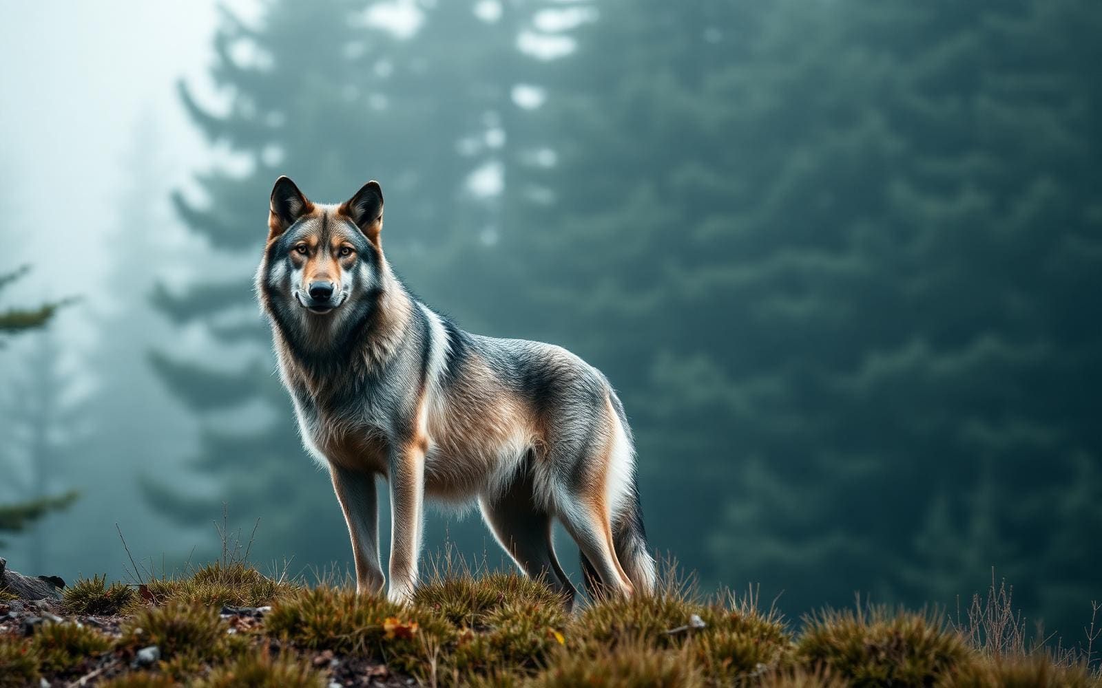
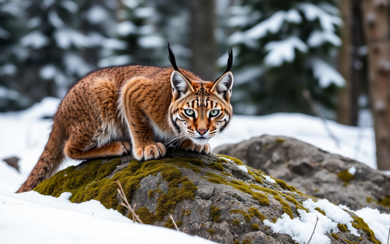
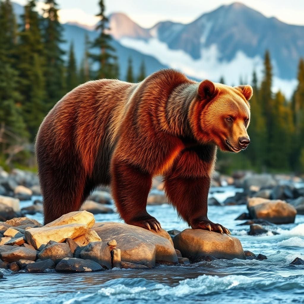
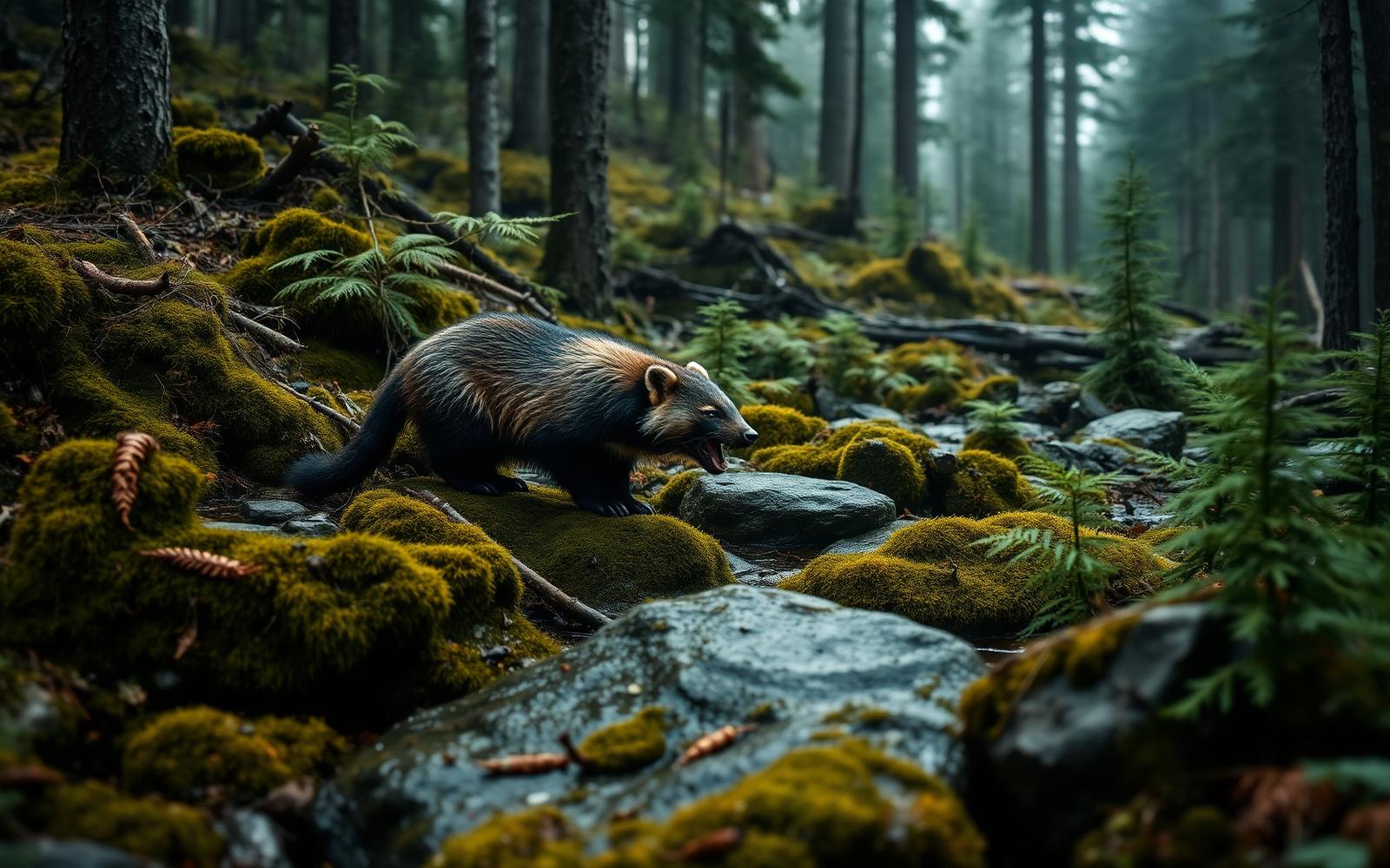
Wildlife found around J. Clark Salyer National Wildlife Refuge



Compare side by side
Put the J. Clark Salyer National Wildlife Refuge against any other pick on this list — specs, price, pros, cons and reader ratings.