


Adventure Locations · #4
Lapland (Sarek / Padjelanta)
Sweden

Reader rating
Rate it and you move it. Community ratings re-rank this product inside its Top 10 list.
Expert-picked, reader-ranked. Our editors choose the products and the launch order; member star ratings move picks up or down over time.
Europe's largest roadless wilderness — glaciers, tundra, moose, and no huts in Sarek.
Pros
- Unmatched solitude and true wilderness experience
- Spectacular and raw glacial landscapes
- High probability of seeing large Arctic wildlife
- Ultimate test of self-sufficiency and navigation skills
- Profound sense of accomplishment from a successful expedition
Cons
- Extreme difficulty and remoteness, not for beginners
- Harsh and unpredictable weather, even in summer
- Significant logistical challenges for access and resupply
- Mosquitoes and biting insects can be overwhelming
- Lack of marked trails and huts in Sarek means full reliance on personal gear
Best uses
- Multi-day wilderness trekking
- Expert-level ski touring
- Wildlife photography expeditions
- Extreme self-reliant adventuring
Specifications
- Location
- Swedish Lapland (Norrbotten County)
- Primary Terrain
- Glacial valleys, tundra, taiga, alpine peaks
- Best Season
- Late July - early September (hiking); Feb - Apr (skiing)
- Permits Required
- No entry permit for Sarek/Padjelanta, fishing permits needed
- Nearest Town
- Kvikkjokk, Ritsem
- Difficulty
- Expert (Sarek), Advanced (Padjelanta)
Best for
Multi-day wilderness trekking, Expert-level ski touring, Wildlife photography expeditions, Extreme self-reliant adventuring
Sarek and Padjelanta, often grouped under the larger umbrella of Swedish Lapland, represent Europe's most significant expanse of roadless wilderness. This isn't your well-trodden alpine path; it's a raw, untamed landscape of glaciers, vast tundra, and ancient forests. The allure lies in its profound solitude and the challenge it presents. You'll find no huts in Sarek, demanding complete self-sufficiency, a stark contrast to the more developed hiking infrastructure found elsewhere in Scandinavia. Padjelanta offers a few basic huts, but even there, the distances are substantial, and the weather is unforgiving. This region is a true test of preparedness and resilience, rewarding those who seek genuine immersion in the wild. Geography here is defined by deep valleys, towering peaks, and extensive plateaus, carved by millennia of glacial activity. Rivers are wild and unbridged in many areas, requiring careful ford planning. The subarctic climate means short, intense summers and long, dark, cold winters. Wildlife thrives, from massive moose and reindeer herds to wolverines and lynx, though many are elusive. This isn't a place for casual day hikes; it's an expedition, demanding respect for its power and isolation. The rewards, however, are unparalleled: sweeping vistas of pristine wilderness, the thrill of true self-reliance, and a connection to nature few places can still offer.
Geography and Terrain
Sarek and Padjelanta lie in the mountainous spine of northern Sweden, characterized by deep U-shaped valleys, numerous glaciers, and high plateaus. Sarek alone boasts nearly 100 peaks over 1,800 meters and around 200 glaciers. The terrain is rugged, with significant elevation changes, extensive boulder fields, and often boggy ground in lower sections. Rivers are a dominant feature, often wide, fast-flowing, and unbridged, presenting considerable challenges, especially during melt season. Above the tree line, which sits around 600-800 meters, the landscape transitions to open tundra, exposing hikers to the full force of the weather. Navigation requires expert skills, as marked trails are rare or non-existent in Sarek, and even in Padjelanta, they are often faint.
Best Season and Weather
The hiking window is narrow, typically from late July to early September. Before late July, snow cover can still be significant, and river crossings are dangerously high. By mid-September, freezing temperatures and early snowfalls are common. Summer days offer long daylight hours, often 24-hour daylight in July. However, weather is notoriously fickle; sunshine can quickly give way to rain, sleet, or even snow, even in August. Temperatures can range from warm 20°C (68°F) to near-freezing in a single day. Be prepared for all conditions, including strong winds and persistent rain. Winters, from February to April, are popular for experienced ski touring, with stable snowpacks and crisp, cold weather.
Wildlife
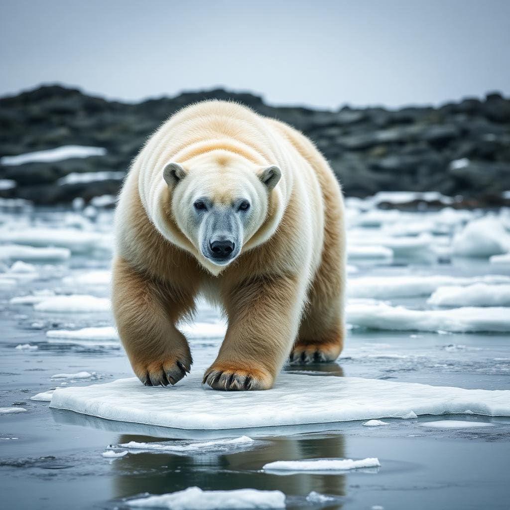
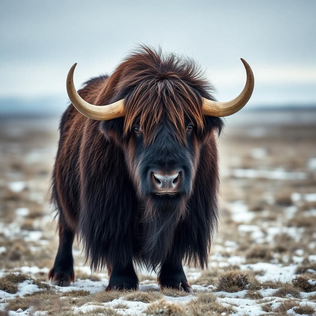
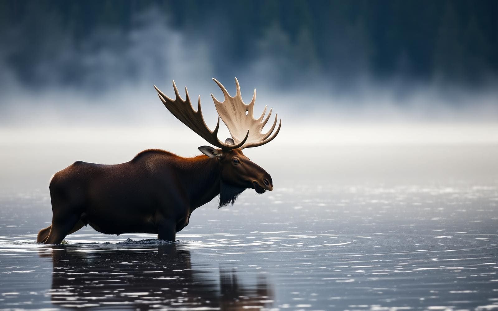
Lapland is home to a diverse array of Arctic and subarctic wildlife. Large mammals are a major draw: moose are common in the valleys, particularly near rivers and forests, and vast herds of semi-domesticated reindeer graze across the tundra. Carnivores like wolverines, lynx, and occasionally brown bears roam the wilderness, though sightings are rare. Arctic foxes are present on higher fells. Birdlife is abundant, including various raptors and waders. Mosquitoes and gnats can be a significant nuisance from late June through August, especially in boggy areas. Carrying appropriate insect repellent and head nets is essential during these months.
Key Routes and Attractions
Sarek offers no marked routes, requiring true wilderness navigation. Popular objectives include ascending Skierffe for panoramic views of Rapadalen, or traversing the vast Rapa Valley itself. Padjelanta has the Padjelantaleden, a 160 km marked trail, but it's still remote and challenging. Notable natural features include the extensive Laitaure Delta, a complex network of waterways and islands. Cultural attractions involve ancient Sami cultural sites and the ongoing reindeer herding practices, which are an integral part of the landscape. Access points like Kvikkjokk and Ritsem serve as jumping-off points, often requiring bus transfers and boat crossings to reach the park boundaries.
Permits and Access
No permits are required for entry into Sarek or Padjelanta National Parks. However, fishing permits are necessary if you plan to fish. Access is challenging. From the south, Kvikkjokk is a common starting point, often requiring a boat across Lake Sakkat. From the north, Ritsem is the primary access point, typically involving a bus to the Sitasjaure dam and then a boat across Akkajaure. Public transportation exists but is infrequent. These parks are not easily 'popped into'; they demand significant planning, logistical arrangements, and a commitment to self-sufficiency. There are very few amenities once inside the park boundaries, especially Sarek.
How we chose
We built this ranking from trip reports, agency data, permit records, and our editors' own time on the ground. 10 places made the final cut out of a much longer working list, and each one had to clear the same set of criteria before it earned a spot.
- Quality of the terrain
- Landscape, route variety, and whether the place rewards multiple days rather than one overlook.
- Season and weather windows
- How long the reliable window is, and how badly the shoulder seasons punish a bad forecast.
- Access and permits
- Trailhead logistics, permit odds, quotas, and how much lead time a trip realistically takes.
- Solitude vs. crowding
- How far you have to walk before the place feels like wilderness instead of a queue.
- Wildlife and ecology
- What you can reasonably expect to see, and what you have to plan around.
- Risk and skill required
- Navigation, water crossings, exposure, and rescue distance — stated plainly.
Lapland (Sarek / Padjelanta) — frequently asked questions
- Is Lapland (Sarek / Padjelanta) worth the trip?
- We rank it #4 in Adventure Locations. Europe's largest roadless wilderness — glaciers, tundra, moose, and no huts in Sarek.
- Who is Lapland (Sarek / Padjelanta) best for?
- Best for multi-day wilderness trekking, expert-level ski touring, wildlife photography expeditions and extreme self-reliant adventuring. Standouts: unmatched solitude and true wilderness experience and spectacular and raw glacial landscapes.
- What are the drawbacks of Lapland (Sarek / Padjelanta)?
- Extreme difficulty and remoteness, not for beginners, Harsh and unpredictable weather, even in summer and Significant logistical challenges for access and resupply.
- What are the key details for Lapland (Sarek / Padjelanta)?
- Location: Swedish Lapland (Norrbotten County) · Primary Terrain: Glacial valleys, tundra, taiga, alpine peaks · Best Season: Late July - early September (hiking); Feb - Apr (skiing) · Permits Required: No entry permit for Sarek/Padjelanta, fishing permits needed · Nearest Town: Kvikkjokk, Ritsem
- Geography and Terrain — what should I know about the Lapland (Sarek / Padjelanta)?
- Sarek and Padjelanta lie in the mountainous spine of northern Sweden, characterized by deep U-shaped valleys, numerous glaciers, and high plateaus. Sarek alone boasts nearly 100 peaks over 1,800 meters and around 200 glaciers.
- Best Season and Weather — what should I know about the Lapland (Sarek / Padjelanta)?
- The hiking window is narrow, typically from late July to early September. Before late July, snow cover can still be significant, and river crossings are dangerously high.
Where on earth
Satellite imagery flying in from a world view to Lapland (Sarek / Padjelanta), Lapland, Finland. Use the + / − buttons, or click the map to zoom with your scroll wheel; drag to pan and pinch to zoom on touch.
Lapland, Finland · 67.922, 26.505
Wildlife found around Lapland (Sarek / Padjelanta)





Compare side by side
Put the Lapland (Sarek / Padjelanta) against any other pick on this list — specs, price, pros, cons and reader ratings.