



- Region
- Chihuahua, Mexico
- Best season
- Spring, Summer
- Permits
- Confirm current entry requirements and per…
Plan with verified data
Basaseachic Falls National Park trip tools
Tools for a trip here
Picked for how, when and where you're going. Free, no signup.
Photos of Basaseachic Falls National Park
How to get there
Basaseachic Falls National Park is in Chihuahua, Mexico. Its center point is 28.1691, -108.2106. Use these links for live turn-by-turn directions from where you are, then confirm road, trailhead and access conditions with the managing agency before you leave.
- Basaseachic Falls (Cascada de Basaseachic)
The park’s namesake waterfall is a primary destination to ask about when confirming access. No specific entrance, parking area, or trailhead is established here.
- Candameña Canyon (Barranca de Candameña)
The canyon receiving Basaseachic Falls is a geographic planning target, not a confirmed entry point. Verify where canyon viewing is accessible; do not assume access to the canyon floor.
Chihuahua, Mexico · Season: Best: June to September (wet season)
- Climbing
- Desert Hiking
- Canyoneering
- Hiking
- Photography
The country
Situated within the northern reaches of the Sierra Tarahumara, this park is defined by towering vertical cliffs of volcanic tuff. Thick ponderosa pine and oak forests cover the plateau before dropping violently into the Candameña Canyon. The park's namesake cascade drops 246 meters free-fall over a massive rock shelf.
Why enthusiasts come
Waterfall chasers and photographers time their visits to catch the massive volume generated by late summer storms. Hardcore rock climbers come to ascend the imposing El Gigante, an 800-meter sheer rock face demanding big-wall climbing techniques. Day hikers enjoy the rigorous, well-maintained trails that descend to the misty plunge pool.
Top experiences
Hiking the steep switchbacks down to the base of Basaseachic Falls immerses visitors in a deafening, mist-filled canyon. Standing at the lookout of La Ventana provides dizzying rim views straight over the plunging water. Elite big-wall climbers endure multi-day vertical ascents on the smooth faces of El Gigante.
Planner-relevant notes
In the dry spring months, the waterfall can taper off to a mere trickle or dry up completely. The hike back up from the base is grueling and exposes hikers to intense afternoon sun if started too late. There are basic camping facilities at the top rim, but resources are limited.
Field notes
- Visit shortly after a heavy summer downpour to see the falls flowing at maximum chaotic force.
- Carry ample water for the ascent; the mist at the bottom is refreshing but the hike up is baking hot.
- If planning to climb El Gigante, arrange specialized transport in advance, as the base terrain is exceedingly rough.
- Watch for loose rock near the cliff edges; the volcanic tuff fractures unpredictably.
Where on earth
Satellite imagery flying in from a world view to Basaseachic Falls National Park, Chihuahua, Mexico. Use the + / − buttons, or click the map to zoom with your scroll wheel; drag to pan and pinch to zoom on touch.
Coordinates
- Decimal degrees
- 28.1691, -108.2106
- Latitude (DMS)
- 28° 10′ 8.8″ N
- Longitude (DMS)
- 108° 12′ 38.2″ W
Coordinates are an access-point reference for Basaseachic Falls National Park, not a route. Carry a paper map and confirm trailhead or put-in access with the managing agency before you go.
Topic summary
Mexico's highest continuous waterfall plunges majestically into a pristine forested ravine, surrounded by sheer volcanic rock faces.
Key takeaways
- Region: Chihuahua, Mexico
- Best season: Best: June to September (wet season)
- Coordinates: 28.169, -108.211
Climate suitability
Best: June to September (wet season)
Keep planning
Popular pursuits at Basaseachic Falls National Park
- Climbing
Rock and alpine lines with approach beta.
- Desert Hiking
Water carries and heat management drive the plan.
- Canyoneering
Narrows, downclimbs, and flash-flood timing.
- Hiking
Day miles on marked trail, with route notes and trail links below.
Animals around Basaseachic Falls National Park
 Wildlife guideBlack bearUrsus americanus
 Big gameMule DeerOdocoileus hemionus
 GamefishLargemouth BassMicropterus nigricans
 Wildlife guideCougarPuma concolor
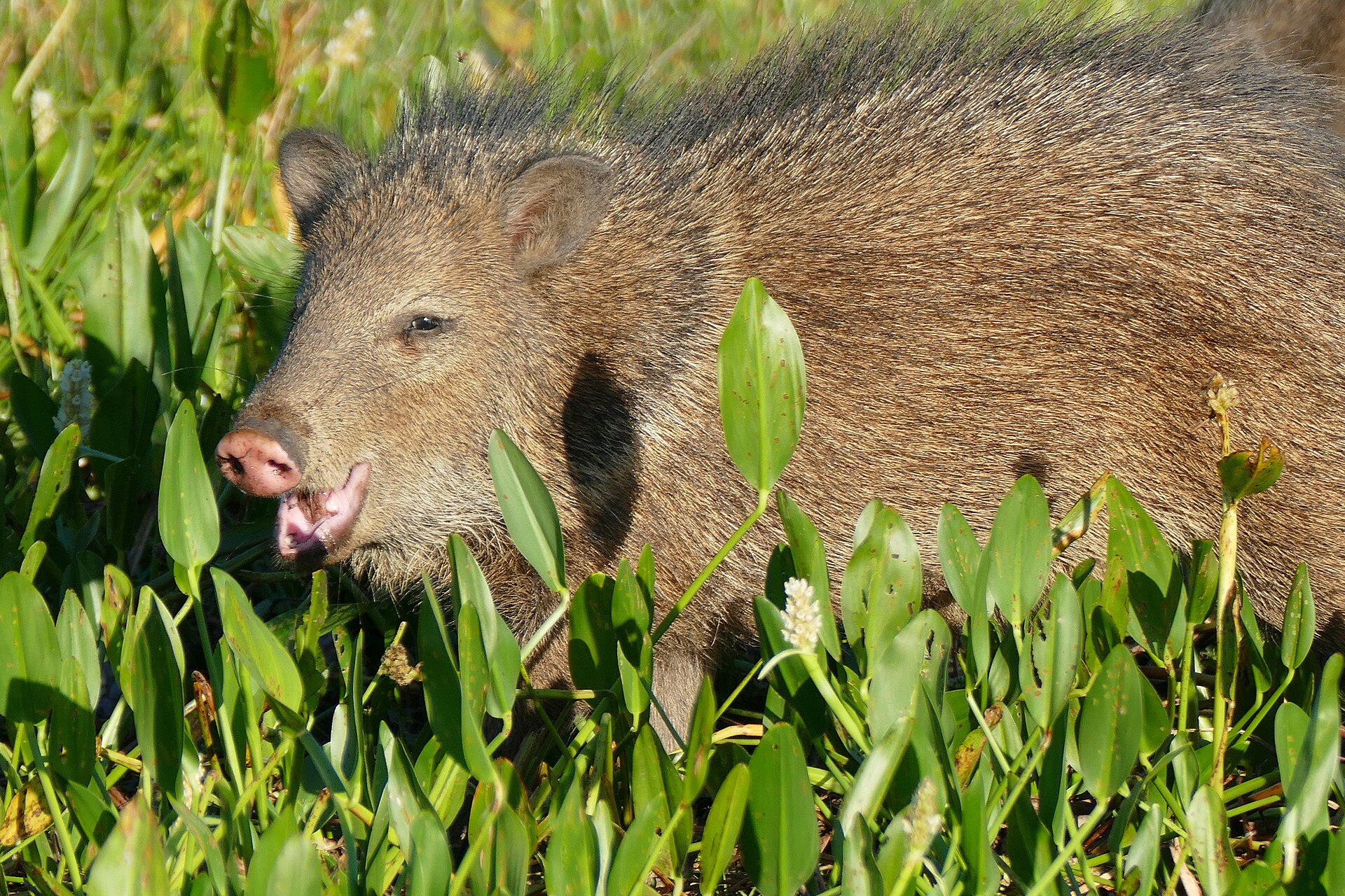 Big gameJavelinaPecari tajacu
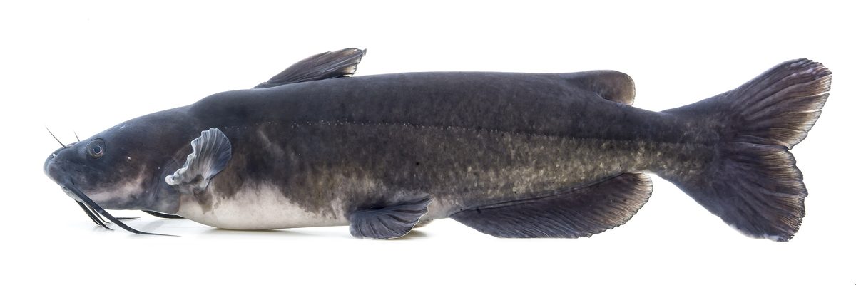 GamefishChannel CatfishIctalurus punctatus
 Wildlife guideWild turkeyMeleagris gallopavo
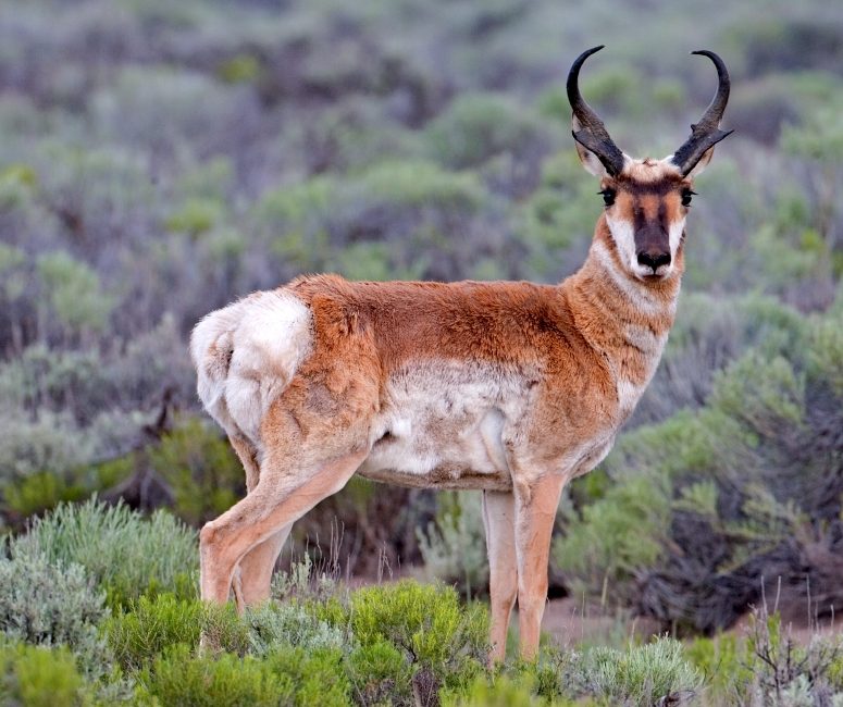 Big gamePronghorn AntelopeAntilocapra americana
A waterfall at the heart of the Sierra Madre Occidental
Basaseachic Falls National Park lies in western Chihuahua, Mexico, in the heart of the Sierra Madre Occidental. Its central feature is Basaseachic Falls, also called Cascada de Basaseachic, which drops 246 meters into Candameña Canyon. It is described as Mexico’s second-tallest waterfall, but the setting matters as much as the height: pine–oak forest, rock formations, and high cliffs surround the falls. A visit can focus on the waterfall or take a broader look at the canyon landscape. Keep those goals distinct when planning; seeing the falls does not by itself establish a route into the canyon. Choose an outing around confirmed local access rather than assuming that the waterfall, canyon floor, and cliff viewpoints are connected by a suitable walking route.
Candameña Canyon and the surrounding forest
Candameña Canyon, also known as Barranca de Candameña, was carved by the Basaseachic River over millions of years. The waterfall empties into this canyon, making the river, falls, and rock walls parts of the same landscape rather than separate attractions. Cliffs in the park reach 1,640 meters in height, giving the scenery a scale that deserves caution as well as attention. Pine–oak forest adds another dimension to a visit, with the wooded mountain setting contrasting with the exposed rock formations. For trip planning, think in terms of waterfall viewing, canyon scenery, and forest surroundings. These are useful priorities for choosing an outing, but they are not evidence of a marked trail network or a continuous route between the park’s main features.
Plan around steep terrain and confirmed access
The park’s high cliffs and mountainous setting call for conservative decisions about footing, weather, and turnaround points. Stay well back from unprotected edges, and do not treat a clear view of the canyon as proof that a descent is possible or appropriate. Carry water, wear footwear suited to uneven ground, and bring layers for changing mountain conditions. Before setting out, confirm the approach, current access conditions, and any intended walking route with the managing agency. In particular, distinguish a waterfall-viewing outing from travel into Candameña Canyon; the terrain involved may be very different. Without confirmed route details, leave enough flexibility to choose a shorter outing rather than committing to an uncertain descent or relying on an assumed connection between viewpoints.
Route options
- Basaseachic Falls viewing
Make the 246-meter waterfall the focus of the outing. This is a viewing objective rather than a documented trail itinerary; confirm the appropriate approach and walking conditions before setting out.
- Candameña Canyon scenery
Focus on the canyon, rock formations, and high-cliff scenery surrounding the falls. Choose a locally confirmed viewing route rather than assuming a descent or a connection between viewpoints.
Sample itineraries
- Basaseachic Falls and Canyon Views · 1 day
Focus a day on Basaseachic Falls and views into Candameña Canyon. Confirm suitable viewing access locally before setting out; keep well back from cliff edges.
- Falls, Forest, and Rock Formations · 2 days
Spend one day viewing Basaseachic Falls and Candameña Canyon, then another exploring the park’s pine–oak forest scenery and rock formations where access is confirmed. Plan each day around current conditions rather than assuming established routes or services.
Seasonal conditions
Spring
Confirm local spring conditions before travel.
Plan for a mountain setting in the Sierra Madre Occidental. Check weather and access before choosing a walk; do not assume spring temperatures or waterfall flow.
Summer
Confirm local summer conditions before travel.
Check the forecast before spending time near exposed canyon viewpoints. Carry drinking water and sun protection; adjust plans if conditions make cliff-side travel unsafe.
Fall
Confirm local fall conditions before travel.
Bring layers for time in the forest and at exposed viewpoints. Confirm daylight and access for the intended outing rather than assuming a particular seasonal schedule.
Winter
Confirm local winter conditions before travel.
Check mountain weather and ground conditions before departure. Choose clothing and footwear for the forecast, and avoid exposed terrain when footing or visibility is poor.
| Season | Window | Conditions |
|---|---|---|
| Spring | Confirm local spring conditions before travel. | Plan for a mountain setting in the Sierra Madre Occidental. Check weather and access before choosing a walk; do not assume spring temperatures or waterfall flow. |
| Summer | Confirm local summer conditions before travel. | Check the forecast before spending time near exposed canyon viewpoints. Carry drinking water and sun protection; adjust plans if conditions make cliff-side travel unsafe. |
| Fall | Confirm local fall conditions before travel. | Bring layers for time in the forest and at exposed viewpoints. Confirm daylight and access for the intended outing rather than assuming a particular seasonal schedule. |
| Winter | Confirm local winter conditions before travel. | Check mountain weather and ground conditions before departure. Choose clothing and footwear for the forecast, and avoid exposed terrain when footing or visibility is poor. |
Permits, fees & closures
Confirm current entry requirements and permits with the park’s managing agency.
Confirm current permits, fees, and closures with the managing agency before you go.
Hazards & regulations
- High cliffs above Candameña Canyon create serious fall exposure. Stay well back from edges.
- The waterfall and canyon are places to view from secure ground, not to approach through uncertain terrain.
- Rocky terrain calls for careful footing and sturdy footwear.
- Mountain weather and poor visibility can make exposed viewpoints unsafe; check conditions before heading out.
What to pack for Basaseachic Falls National Park
- Sturdy footwear with reliable grip
- Layered clothing suited to the forecast
- Weather-resistant outer layer
- Drinking water
- Food for the outing
- Sun protection
- Small first-aid kit
- Locally confirmed access information
- Offline map
- Charged phone
- Headlamp
Basaseachic Falls National Park FAQ
- Where is Basaseachic Falls National Park?
- The park lies in western Chihuahua, Mexico, in the Sierra Madre Occidental mountain range.
- What is the park’s main feature?
- Basaseachic Falls, also called Cascada de Basaseachic, is Mexico’s second-tallest waterfall. It drops 246 meters into Candameña Canyon.
- What else is there to see?
- The park has pine–oak forest, rock formations, and views from high cliffs. Candameña Canyon was carved by the Basaseachic River over millions of years.
- Which walking route should visitors use?
- Confirm appropriate routes and viewing access with park staff before setting out. Do not assume that a canyon overlook or the waterfall base has a suitable approach.
- What is the main safety consideration?
- Cliff exposure deserves particular care. Cliffs in the park reach 1,640 meters in height; keep away from edges and avoid exposed ground when footing or visibility is uncertain.