



- Region
- Texas, USA
- Best season
- Spring, Summer
- Permits
- Confirm current permit requirements and tr…
- Managed by
- Big Bend National Park
Plan with verified data
Big Bend National Park trip tools
Tools for a trip here
Picked for how, when and where you're going. Free, no signup.
Photos of Big Bend National Park
How to get there
Big Bend National Park is in West Texas, entirely within Brewster County, along the Mexican border. Confirm the approach and specific river access location with the park before setting out; no road directions or drive times are established here.
- Big Bend National Park
The managing park for approximately 118 miles of the river boundary. Use the park to confirm a suitable river access location; the park name itself does not identify a launch or landing.
- Rio Grande / Río Bravo
The river corridor is the destination, but a specific public launch, landing, or bank-access site must be confirmed before travel. Access to the Mexican side should not be assumed.
Sources: Wikipedia · Wikivoyage. Confirm road and trailhead conditions with the managing agency before you leave.
Texas, USA · Season: Best: Nov – Mar
- Mountaineering
- Desert Hiking
- Canyoneering
- Sea Kayaking
- Beachcombing
The country
Empty even by west-Texas standards. The Chisos Basin sits 5,000 ft above surrounding desert; the Rio Grande cuts three deep canyons on the south boundary. Star quality is among the best in the US.
Why enthusiasts come
The South Rim view is one of the finest in the National Park system. The Outer Mountain Loop couples the Chisos with pure desert basin travel.
Planner-relevant notes
Water caches are legal and essential for the Outer Mountain Loop. Summer heat is genuinely dangerous — dawn starts even in the shoulder seasons.
Field notes
- The Rio can spike overnight from summer monsoon runoff hundreds of miles away.
- Javelinas will destroy a pack for a taco wrapper — hang or box everything.
- Cell coverage is functionally zero; carry a beacon.
Where on earth
Satellite imagery flying in from a world view to Big Bend National Park, Texas, USA. Use the + / − buttons, or click the map to zoom with your scroll wheel; drag to pan and pinch to zoom on touch.
Coordinates
- Decimal degrees
- 29.2500, -103.2500
- Latitude (DMS)
- 29° 15′ 0.0″ N
- Longitude (DMS)
- 103° 15′ 0.0″ W
Coordinates are an access-point reference for Big Bend National Park, not a route. Carry a paper map and confirm trailhead or put-in access with the managing agency before you go.
Topic summary
Chihuahuan Desert meets the Chisos Mountains meets the Rio Grande — three parks in one.
Key takeaways
- Region: Texas, USA
- Best season: Best: Nov – Mar
- Coordinates: 29.250, -103.250
Climate suitability
Best: Nov – Mar
Keep planning
Popular pursuits at Big Bend National Park
- Mountaineering
Glacier and high-route objectives with real consequence.
- Desert Hiking
Water carries and heat management drive the plan.
- Canyoneering
Narrows, downclimbs, and flash-flood timing.
Animals around Big Bend National Park
 Wildlife guideBlack bearUrsus americanus
 Big gameMule DeerOdocoileus hemionus
 GamefishLargemouth BassMicropterus nigricans
 Wildlife guideCougarPuma concolor
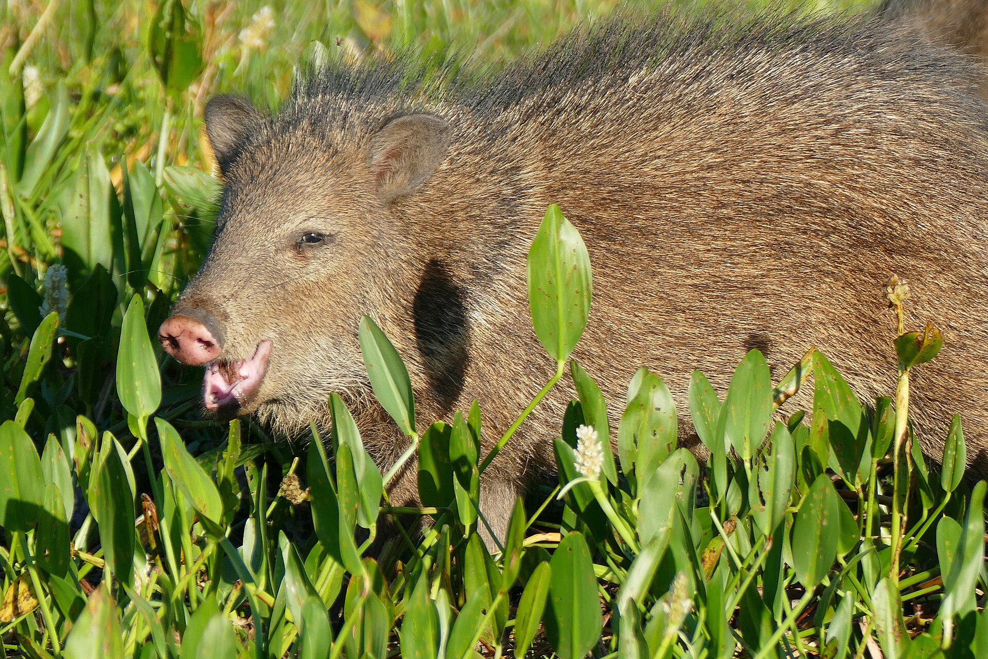 Big gameJavelinaPecari tajacu
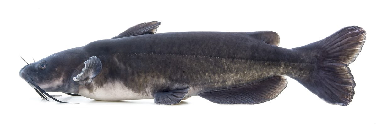 GamefishChannel CatfishIctalurus punctatus
 Wildlife guideWild turkeyMeleagris gallopavo
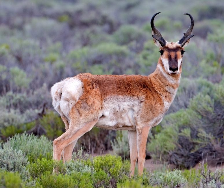 Big gamePronghorn AntelopeAntilocapra americana
A desert river on an international boundary
The Rio Grande, also called the Río Bravo, gives Big Bend its name and defines the southern edge of this part of West Texas. Big Bend National Park administers approximately 118 miles of the international boundary along the river, within a much larger Chihuahuan Desert landscape. This is a river destination set in rugged, sparsely populated country, not an isolated waterway with towns and services close at hand. Plan the river portion of a visit alongside the realities of desert travel: drinking water, sun protection, reliable transport, and enough supplies to avoid depending on an unconfirmed stop. The park lies entirely within Brewster County and covers 801,163 acres. Those figures describe the broader setting, not a continuous recreational route or a measure of accessible river frontage.
The landscape beyond the channel
Big Bend protects the largest area of Chihuahuan Desert topography and ecology in the United States. The river belongs to that wider landscape, which also includes the Chisos Mountains, the only mountain range in the United States contained entirely within a national park. Geological features include sea fossils, dinosaur bones, and volcanic dikes, giving the surrounding country a history that extends well beyond the present river channel. The park protects more than 1,200 plant species, more than 450 bird species, 56 reptile species, and 75 mammal species. These are park-wide totals rather than a checklist for the riverbank. Build time into a visit for observing the desert as well as the water, keeping wildlife at a distance and leaving fossils and other natural features undisturbed.
Plan around the border and the remote setting
The international boundary is an essential part of planning here. The park's jurisdiction does not encompass the entire river channel: its territorial limit follows the center of the deepest channel as the river flowed in 1848, with the remaining channel and land to the south in Mexican territory. Do not assume that a bank, landing, or campsite across the water is covered by the same rules as the park. Confirm access, river-use requirements, and any border implications with Big Bend National Park before committing to an itinerary. The neighboring Mexican protected areas are Cañón de Santa Elena and Maderas del Carmen; their proximity does not establish access from the park. The wider Trans-Pecos is rugged and sparsely settled, so transport arrangements and supply planning deserve attention before heading toward the river.
Route options
- Rio Grande river-focused itinerary
Plan around the river segment administered by Big Bend National Park. A navigable reach, launch, takeout, and current conditions must be established with the park before this becomes a usable river itinerary; the administrative boundary length is not a trip distance.
- Big Bend National Park land-based river visit
A land-based visit can focus on the river's Chihuahuan Desert setting without assuming a boating route. Ask the park to identify suitable bank access and an established approach; no specific trail or road itinerary is established here.
Sample itineraries
- Rio Grande orientation · 1 day
Focus a day on the Rio Grande within Big Bend National Park. Confirm suitable river access with park staff before choosing an outing. Keep plans flexible around conditions, and clarify international-boundary rules before considering any river crossing or landing.
- River and Chihuahuan Desert · 2 days
Spend one day exploring the park's Rio Grande setting and another observing its Chihuahuan Desert landscape and wildlife. Select specific outings after checking access and weather with park staff. Carry water and supplies rather than relying on services in this sparsely populated region.
- River, desert, and mountains · 3 days
Divide three days among the Rio Grande, Chihuahuan Desert, and Chisos Mountains. Treat these as separate landscape-focused days, not a continuous route. Confirm access and suitable activities before departure; mountain and river plans should each match current conditions and the group's abilities.
Seasonal conditions
Spring
Spring; check forecasts before selecting dates
Plan for exposed desert terrain and carry sufficient water. Check river conditions separately from the weather forecast; a seasonal label alone is not enough to choose a river outing.
Summer
Summer; schedule around forecast heat
Make heat and sun protection central to desert planning. Shorten outdoor objectives when conditions demand it, and avoid committing to an outing without adequate drinking water.
Fall
Fall; assess conditions for each outing
Keep river, desert, and mountain plans flexible. Check the forecast for the setting being visited rather than assuming the Rio Grande and Chisos Mountains will require identical clothing or preparation.
Winter
Winter; check temperature forecasts
Pack layers suited to the forecast, especially when combining river and mountain outings. Do not assume a desert destination will always be warm; choose activities around current weather and available daylight.
| Season | Window | Conditions |
|---|---|---|
| Spring | Spring; check forecasts before selecting dates | Plan for exposed desert terrain and carry sufficient water. Check river conditions separately from the weather forecast; a seasonal label alone is not enough to choose a river outing. |
| Summer | Summer; schedule around forecast heat | Make heat and sun protection central to desert planning. Shorten outdoor objectives when conditions demand it, and avoid committing to an outing without adequate drinking water. |
| Fall | Fall; assess conditions for each outing | Keep river, desert, and mountain plans flexible. Check the forecast for the setting being visited rather than assuming the Rio Grande and Chisos Mountains will require identical clothing or preparation. |
| Winter | Winter; check temperature forecasts | Pack layers suited to the forecast, especially when combining river and mountain outings. Do not assume a desert destination will always be warm; choose activities around current weather and available daylight. |
Permits, fees & closures
Confirm current permit requirements and trip authorization procedures with Big Bend National Park before departure.
Confirm current permits, fees, and closures with the managing agency before you go.
Hazards & regulations
- Desert exposure requires deliberate water and sun-protection planning. Adjust activity to the forecast and the group's condition.
- The surrounding Trans-Pecos region is rugged and sparsely populated. Carry essential supplies and avoid depending on nearby services.
- The Rio Grande is an international boundary. Confirm rules before crossing or landing; do not assume both banks are within the national park.
- River outings require a separate assessment of current conditions, suitable equipment, and paddling ability.
What to pack for Big Bend National Park
- Drinking water appropriate to the outing
- Sun hat
- Sunscreen
- Sun-protective clothing
- Map of the planned outing
- First-aid kit
- Extra food
- Written trip plan shared with a trusted contact
- Layers matched to the forecast
- Weather protection
- Properly fitted life jacket for boating
- Waterproof storage for river outings
Big Bend National Park FAQ
- Where is this stretch of the Rio Grande?
- It lies along Big Bend National Park in West Texas, on the border with Mexico. The park is entirely within Brewster County.
- How much of the border does the park administer?
- Big Bend National Park administers approximately 118 miles along the Rio Grande boundary. That figure describes its administrative extent, not a recommended paddling distance or established itinerary.
- Can a river outing include either bank?
- Do not assume so. The river marks an international boundary, and land south of it lies in Mexico. Confirm applicable crossing and landing rules with the managing authorities before making plans.
- What landscapes can be combined with a river visit?
- The park protects Chihuahuan Desert terrain and contains the Chisos Mountains, the only mountain range in the United States entirely within a national park. Combining these settings requires separate access and weather planning.
- Is there enough information here to choose a paddling route?
- No specific launch, takeout, or paddling route is established here. Ask park staff about suitable access, current river conditions, required permissions, and an itinerary appropriate to the group's experience.
- What cultural and geological features distinguish the park?
- The park contains archeological sites dating back nearly 10,000 years and evidence of later ranchers, miners, and pioneers. Its geology includes sea fossils, dinosaur bones, and volcanic dikes. Leave cultural objects and natural features undisturbed.