



- Region
- Nuevo León, Mexico
- Best season
- Spring, Summer
- Permits
- Confirm current entry requirements and any…
Plan with verified data
Cumbres de Monterrey National Park trip tools
Tools for a trip here
Picked for how, when and where you're going. Free, no signup.
Photos of Cumbres de Monterrey National Park
How to get there
Monterrey is the nearby city for planning a visit to the park in the northern Sierra Madre Oriental. Confirm the entry point for the specific outing before arranging transport; no road directions or trailhead locations are established here.
- Monterrey
Nearby city and regional starting point for trip planning, not a specific park entrance. Confirm onward access to the chosen mountain or forest trail.
- Cerro de la Silla
Named mountain associated with Monterrey’s skyline. Treat it as an outing objective rather than a verified access point; confirm the appropriate entrance and trailhead separately.
Sources: pmc.ncbi.nlm.nih.gov · Wikipedia · Wikivoyage. Confirm road and trailhead conditions with the managing agency before you leave.
Nuevo León, Mexico · Season: Best: March - June
- Climbing
- Mountaineering
- Desert Hiking
- Canyoneering
- Hiking
- Caving
The country
Part of the Sierra Madre Oriental, this precipitous park is defined by sharply folded limestone ridges, narrow arroyos, and deep subterranean cave systems. The porous rock creates incredible hydrological features, including underground rivers, massive natural travertine pools, and towering waterfalls. The flora shifts from arid scrub at the mountain bases to thick pine-oak forests atop the cooler ridges.
Why enthusiasts come
It represents the absolute pinnacle of technical canyoneering in Latin America, offering world-class jumps, swims, and rappels. Traditional and sport climbers flock to the sheer, multi-pitch limestone walls bordering the park, most notably in the adjacent Potrero Chico.
Top experiences
Descending the Matacanes canyon requires a massive 10-hour commitment involving two major waterfall rappels and over twenty cliff jumps into turquoise pools. Scrambling to the iconic saddle of Cerro de la Silla affords hikers a punishing vertical ascent over overlooking the sprawling metropolis below.
Planner-relevant notes
Accessing the deep canyoneering tracks highly relies on off-road driving; commercial guiding is strongly recommended for logistics and safety gear. The canyons are prone to immediate and lethal flash flooding during the late summer hurricane season; never enter if thunder is heard. Permits for specific high-traffic canyons are implemented by local municipalities and must be secured via local operators.
Field notes
- Wear reinforced neoprene wetsuits; the water in the canyons remains frigid year-round, and the limestone walls are sharp.
- Helmets are mandatory not just for rappelling, but to protect against loose rockfall generated by hikers higher up the ridges.
- The hike to the start of Matacanes is sweltering and exposed; hydrate massively before donning your wetsuit.
- Do not leave valuables in trailheads around Huasteca Canyon, as petty break-ins are unfortunately common.
Where on earth
Satellite imagery flying in from a world view to Cumbres de Monterrey National Park, Nuevo León, Mexico. Use the + / − buttons, or click the map to zoom with your scroll wheel; drag to pan and pinch to zoom on touch.
Coordinates
- Decimal degrees
- 25.5667, -100.3167
- Latitude (DMS)
- 25° 34′ 0.1″ N
- Longitude (DMS)
- 100° 19′ 0.1″ W
Coordinates are an access-point reference for Cumbres de Monterrey National Park, not a route. Carry a paper map and confirm trailhead or put-in access with the managing agency before you go.
Topic summary
A spectacular limestone range invites technical canyoneering, rappelling down waterfalls, and trekking through a network of steep canyons and caves.
Key takeaways
- Region: Nuevo León, Mexico
- Best season: Best: March - June
- Coordinates: 25.567, -100.317
Climate suitability
Best: March - June
Keep planning
Popular pursuits at Cumbres de Monterrey National Park
- Mountaineering
Glacier and high-route objectives with real consequence.
- Desert Hiking
Water carries and heat management drive the plan.
- Canyoneering
Narrows, downclimbs, and flash-flood timing.
- Hiking
Day miles on marked trail, with route notes and trail links below.
- Caving
Permitted caves, gear, and conservation rules.
Animals around Cumbres de Monterrey National Park
 Wildlife guideBlack bearUrsus americanus
 Big gameMule DeerOdocoileus hemionus
 GamefishLargemouth BassMicropterus nigricans
 Wildlife guideCougarPuma concolor
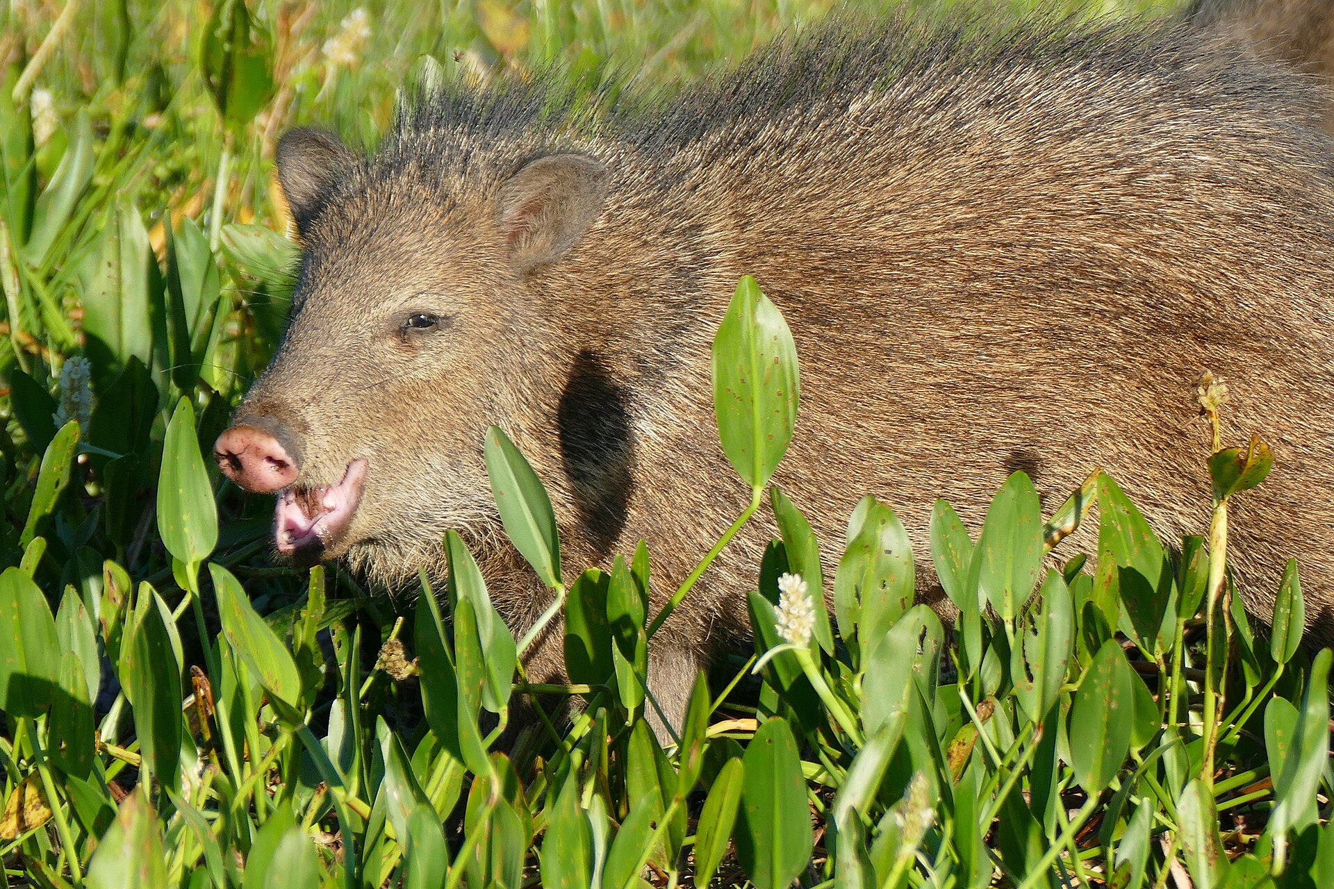 Big gameJavelinaPecari tajacu
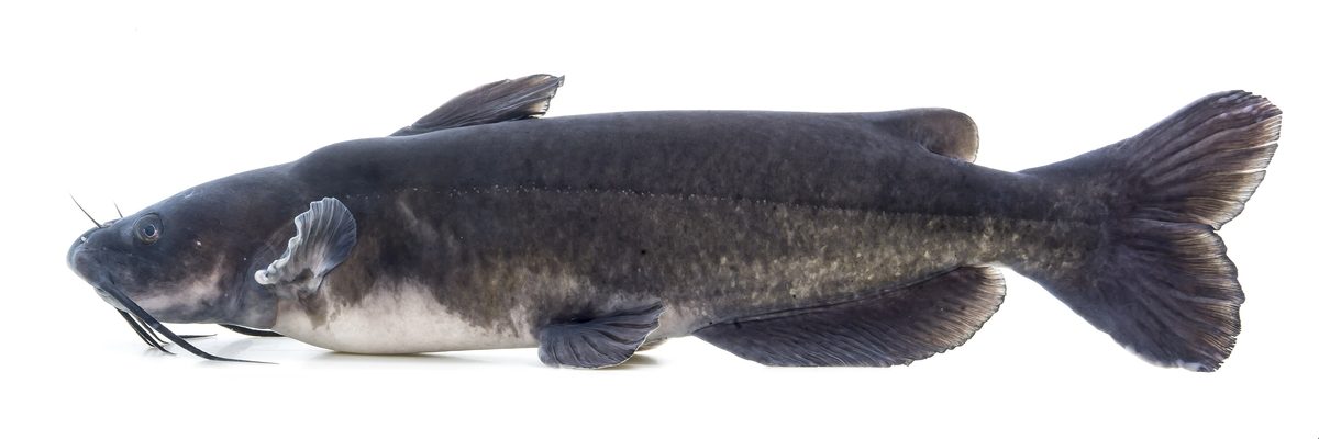 GamefishChannel CatfishIctalurus punctatus
 Wildlife guideWild turkeyMeleagris gallopavo
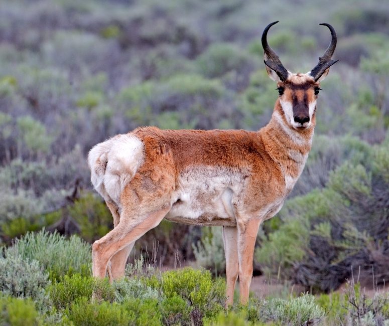 Big gamePronghorn AntelopeAntilocapra americana
Mountains beside Monterrey
Cumbres de Monterrey National Park protects more than 1,770 square kilometres of rugged country in the northern Sierra Madre Oriental, near Monterrey. Its landscape includes deep canyons, rivers, waterfalls, and mountain peaks, with cool pine-oak forests threading through the mountains. The park lies in Nuevo León and Coahuila, making it a mountain destination closely connected to one of northern Mexico’s major cities. Created in 1939 to protect native plants and animals against expanding urban development, it remains a place where conservation and recreation meet. Plan around a particular outing rather than treating the whole park as one attraction: its size and varied terrain make the choice of starting point important. Proximity to the city should not be mistaken for simple access to every part of the mountains.
Choosing an outing
The main outdoor draw is the contrast between winding forest trails and the park’s steep mountain and canyon terrain. Walking in pine-oak woodland offers a different experience from an outing focused on a prominent peak such as Cerro de la Silla, the saddle-shaped landmark associated with Monterrey’s skyline. Choose the terrain first, then confirm the actual trail, entry point, and conditions before setting out. A named mountain is not enough information to navigate an ascent, and the presence of rivers and waterfalls does not establish a usable walking route. Carry navigation, drinking water, and layers suited to the cooler forests. For any more demanding objective, establish the route’s requirements before committing; do not assume that every mountain outing here is a straightforward hike.
Plant diversity and responsible planning
Plant life is a substantial part of the park’s character, not just a backdrop to its peaks. Varied landforms support contrasting plant communities and high species diversity. Local ethnobotanical knowledge is especially rich: interviews with 95 residents documented 240 useful plant species and 146 different uses, with medicinal uses making up the largest category. Those traditions offer a reason to look closely at the vegetation, but they are not instructions for visitors to collect or consume plants. Leave plants in place and enjoy the differences between forest and other vegetation as part of the outing. Before travelling, confirm current access arrangements and any permit requirements with the managing agency. Build plans around a verified route rather than assuming park-wide information covers each individual destination.
Route options
- Pine-oak forest trails
Winding trails through cool mountain woodland provide a forest-walking option. This describes a type of outing, not a verified named route; obtain a specific trail description before departure.
- Cerro de la Silla
A peak-focused option centred on the saddle-shaped mountain. No ascent line is established here, so confirm the route, access, and requirements before planning a climb.
Sample itineraries
- Pine-oak forest day · 1 day
Plan a day walk on the park's mountain trails through pine-oak forest. Confirm a suitable trail and its access with the managing agency before setting out. Choose an out-and-back objective that fits the group's ability rather than committing to a summit.
- Two days exploring contrasting habitats · 2 days
Use separate day outings to appreciate the park's contrasting plant communities and rugged landscape. Spend one day in pine-oak forest and another on an agency-confirmed route with canyon or mountain views. Arrange access and overnight accommodation independently; this is not a mapped connecting route.
Seasonal conditions
Spring
Confirm conditions for your travel dates
Plan around the forecast for your chosen mountain area. The park's varied terrain and contrasting habitats make a single park-wide clothing or route recommendation unreliable.
Summer
Confirm conditions for your travel dates
Carry drinking water and sun protection for mountain outings. Cool pine-oak forest does not describe every part of this rugged park; check conditions along the full intended route.
Fall
Confirm conditions for your travel dates
Check local weather and trail conditions before choosing a canyon or forest outing. Pack layers for time spent in cool forest and adjust the day's objective to conditions.
Winter
Confirm conditions for your travel dates
Check mountain temperatures before departure and carry insulating layers. Do not assume conditions near Monterrey match those on the park's mountain trails.
| Season | Window | Conditions |
|---|---|---|
| Spring | Confirm conditions for your travel dates | Plan around the forecast for your chosen mountain area. The park's varied terrain and contrasting habitats make a single park-wide clothing or route recommendation unreliable. |
| Summer | Confirm conditions for your travel dates | Carry drinking water and sun protection for mountain outings. Cool pine-oak forest does not describe every part of this rugged park; check conditions along the full intended route. |
| Fall | Confirm conditions for your travel dates | Check local weather and trail conditions before choosing a canyon or forest outing. Pack layers for time spent in cool forest and adjust the day's objective to conditions. |
| Winter | Confirm conditions for your travel dates | Check mountain temperatures before departure and carry insulating layers. Do not assume conditions near Monterrey match those on the park's mountain trails. |
Permits, fees & closures
Confirm current entry requirements and any activity permits with the park's managing agency.
Official source: Ethnobotany in the Cumbres de Monterrey National Park, Nuevo ... · Verified October 2, 2026
Hazards & regulations
- Rugged mountain terrain and deep canyons require careful route selection. Choose an objective within the group's ability and avoid unplanned shortcuts.
- Rivers and waterfalls call for caution around water. Do not assume a crossing or swimming location is safe without local guidance.
- Cool forests and mountain terrain warrant weather checks and spare layers. Turn back if conditions exceed the group's preparation.
What to pack for Cumbres de Monterrey National Park
- Footwear with dependable traction
- Route information and an offline navigation backup
- First-aid kit
- Headlamp
- Drinking water suited to the planned outing
- Sun protection
- Insulating layer for cool forest
- Weatherproof outer layer
- Camera
- Notebook for plant observations
- Bag for carrying out litter
Cumbres de Monterrey National Park FAQ
- Where is Cumbres de Monterrey National Park?
- The park lies near Monterrey in northern Mexico, in the northern Sierra Madre Oriental. Its mountain landscape extends across Nuevo León and Coahuila.
- What is the landscape like?
- Expect rugged mountains, deep canyons, rivers, waterfalls and cool pine-oak forests. Contrasting plant communities make habitat observation a useful focus for a visit.
- Is there a specific beginner route to follow?
- Ask the managing agency for a trail suited to your experience and current conditions. Mountain trails exist, but a beginner itinerary needs confirmed access, route details and a realistic turnaround point.
- Can the park be visited as a day trip?
- Its proximity to Monterrey makes a day outing worth considering. Select one confirmed-access area rather than trying to cover the park's widely varied terrain in a single visit.
- What makes the park interesting for plant enthusiasts?
- The park has high plant diversity and contrasting vegetation. An ethnobotanical study documented 240 useful plant species and extensive local knowledge of their uses. Observe and photograph plants rather than treating traditional-use information as guidance for eating or self-medication.