



- Region
- Wisconsin / Minnesota / Iowa, USA
- Best season
- Spring, Summer
- Permits
- Confirm permits, access requirements, and …
Plan with verified data
Driftless Area Spring Creeks trip tools
Tools for a trip here
Picked for how, when and where you're going. Free, no signup.
Photos of Driftless Area Spring Creeks
How to get there
Focus a Wisconsin visit on the southwestern part of the state. The Coulee Region offers a regional planning focus, while Blue Mound State Park is a named park destination. Select a specific destination and confirm its entrance and access arrangements before traveling; the Driftless Area has no single regional entrance.
- Blue Mound State Park
A named Wisconsin park destination at the upper end of the Driftless Area's elevation range. Confirm the appropriate park entrance and available activities before visiting.
- Coulee Region
A broad starting area in southwestern Wisconsin, not a single trailhead. Narrow the visit to a specific publicly accessible location within its ridge-and-valley landscape.
Sources: Wikipedia · Wikivoyage. Confirm road and trailhead conditions with the managing agency before you leave.
Wisconsin / Minnesota / Iowa, USA · Season: Best: Apr – Oct
- Rafting
- Fishing
- Mountaineering
The country
The Driftless is the corner of WI/MN/IA/IL that missed the last glaciation — steep coulees cut into limestone bedrock, cold springs everywhere. Wisconsin alone has 13,000+ miles of trout stream, with 3,700 miles classified Class I (wild trout, no stocking needed).
Why enthusiasts come
The best small-stream, wild-trout fly-fishing in the eastern half of the country. Public access is enormous — Wisconsin DNR alone maintains easements on hundreds of stream miles. Traffic is low outside of a few marquee waters.
Top experiences
The Trico spinner fall at first light on Timber Coulee, hopper-dropper afternoons in July on the West Fork Kickapoo, dry-dropper for wild brookies on Bohemian Valley Creek, and streamer fishing in October for pre-spawn browns.
Planner-relevant notes
Regs vary stream-by-stream — read the Wisconsin, Minnesota, and Iowa regulations for the specific creek. Many creeks are farmland edges: respect posted signage and use marked public accesses. Peak insect activity is 8–10 AM and 5–8 PM in summer heat.
Field notes
- 3-wt is the ideal Driftless rod; 4-wt if the wind is up.
- 5X–6X tippet is standard; wild browns are line-shy in low water.
- Trico fishing in August requires 20/22 hooks and precise presentation.
- The Kickapoo Valley Reserve concentrates public access for weekend planning.
Where on earth
Satellite imagery flying in from a world view to Driftless Area Spring Creeks, Wisconsin / Minnesota / Iowa, USA. Use the + / − buttons, or click the map to zoom with your scroll wheel; drag to pan and pinch to zoom on touch.
Coordinates
- Decimal degrees
- 43.6500, -90.9000
- Latitude (DMS)
- 43° 38′ 60.0″ N
- Longitude (DMS)
- 90° 54′ 0.0″ W
Coordinates are an access-point reference for Driftless Area Spring Creeks, not a route. Carry a paper map and confirm trailhead or put-in access with the managing agency before you go.
Topic summary
600+ cold spring creeks in a glacier-missed hill country — the Midwest's real trout kingdom.
Key takeaways
- Region: Wisconsin / Minnesota / Iowa, USA
- Best season: Best: Apr – Oct
- Coordinates: 43.650, -90.900
Climate suitability
Best: Apr – Oct
Keep planning
Popular pursuits at Driftless Area Spring Creeks
- Fishing
Resident gamefish, seasons, and the water that holds them.
- Mountaineering
Glacier and high-route objectives with real consequence.
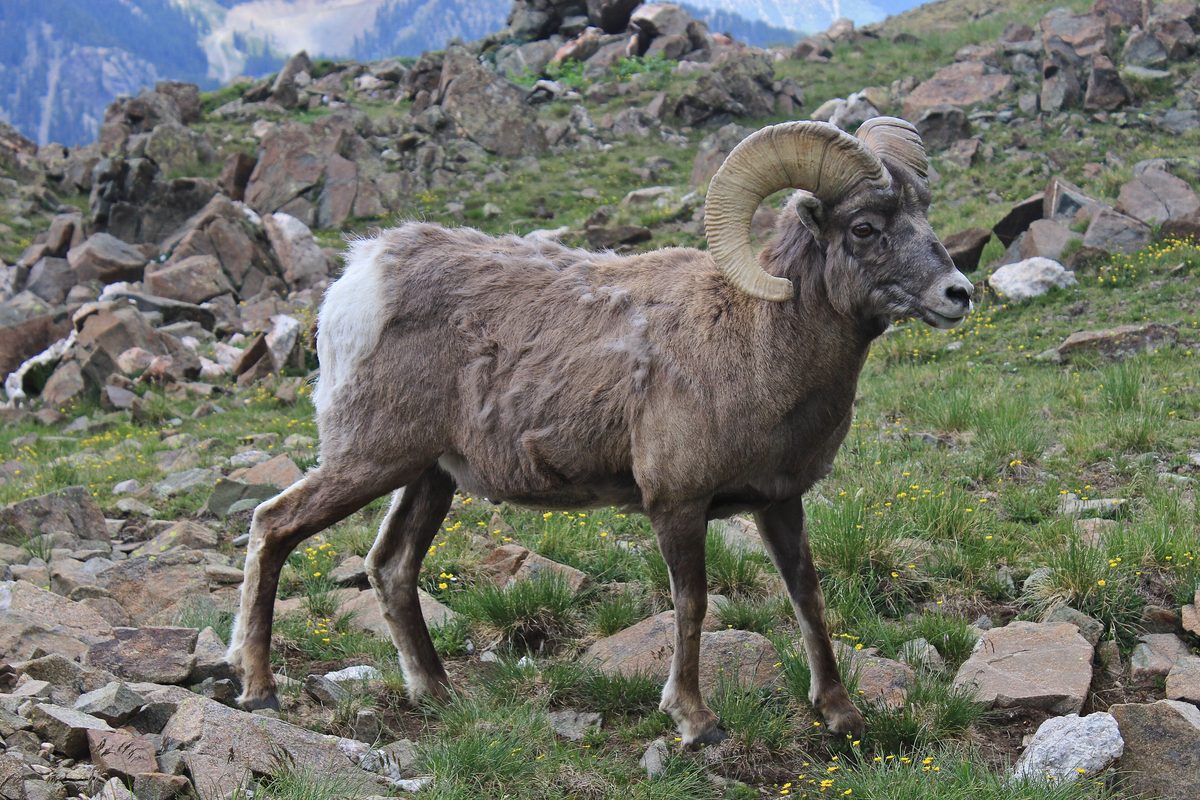
Animals around Driftless Area Spring Creeks



A Wisconsin landscape shaped by rivers
The Wisconsin portion of the Driftless Area occupies the state's southwest, within a larger region that extends into Minnesota, Iowa, and Illinois. Its defining features are steep hills, forested ridges, and deeply carved river valleys rather than the gentler terrain often associated with the Midwest. The name refers to the absence of glacial drift: the silt, gravel, and rock deposited by glaciers elsewhere in Wisconsin. This area was not covered by ice during the Last Glacial Period. For trip planning, the important distinction is that the Driftless is a broad geographic region, not a single park or trail system. Choose a smaller area to explore rather than treating the whole region as one stop; ridge country and valley terrain offer substantially different ground to cover.
Coulees, cold streams, and high ground
The Coulee Region is the southwestern part of Wisconsin's Driftless Area, where the regional pattern of ridges and carved valleys gives a useful focus for exploration. Karst geology, spring-fed waterfalls, and cold-water trout streams are characteristic of the broader landscape. Blue Mound State Park marks the upper end of the region's stated elevation range, at 1,719 feet. The Mississippi River provides the larger geographic frame: its incised upper valley is part of a landscape shaped when early glacial advances redirected rivers southward across bedrock. Plan around that relief rather than elevation alone. A modest-looking hill on a regional map can still mean a steep ascent from a valley, and exploring both low ground and ridges calls for different levels of effort.
Planning an outdoor visit
Camping, hunting, and skiing are among the outdoor activities associated with the Driftless Area, but their availability must be checked at the specific place being visited. The region is too broad for a single access or seasonal plan. Its forest–savanna transition and cold-water stream environments also make landscape and habitat observation a useful focus for a visit. Ecologically, its plants and animals have closer connections to the Great Lakes region and New England than to the broader Midwest and central Plains. Pack for the outing actually selected: footwear suited to steep ground, drinking water, and layers appropriate to the forecast are sensible starting points. Treat streams and waterfalls as landscape features, not assumed drinking-water sources, and confirm local access before setting out.
Route options
- Blue Mound State Park visit
Use the park as the focus for a high-ground visit within Wisconsin's Driftless Area. This is a destination-based outing concept, not a specified trail route; confirm a suitable route locally.
- Coulee Region exploration
Build a localized outing around the southwestern Wisconsin landscape of forested ridges and deeply carved valleys. Choose confirmed public access and an established local route rather than assuming a continuous route through the region.
Sample itineraries
- Coulee Region hills and valleys · 2 days
Spend two days exploring southwestern Wisconsin's Coulee Region. Focus one day on forested ridges and another on deeply carved river valleys. Choose established public recreation sites and confirm access before setting out; this is a regional outline, not a connected trail route.
- Blue Mound and the wider Driftless · 3 days
Begin at Blue Mound State Park, then devote two days to the Wisconsin Driftless landscape of steep hills, cold-water trout streams, and spring-fed waterfalls. Select specific outings after checking public access and current conditions rather than assuming streams or waterfalls are accessible.
Seasonal conditions
Spring
Spring; plan around current ground and water conditions
On this steep, stream-cut terrain, check footing and water conditions before committing to a valley outing. Wet ground can make hillsides harder to negotiate. Carry rain protection and choose established access.
Summer
Summer; adjust outings to the day's weather
Allow for the effort of repeated climbs between valleys and forested ridges. Carry drinking water and sun protection. Cold-water streams should not be treated as safe drinking sources without treatment.
Fall
Fall; check weather and local hunting activity
Pack layers for changing temperatures. Hunting is a regional activity, so check whether it is taking place at your chosen recreation site and wear visible clothing where appropriate.
Winter
Winter; skiing depends on local conditions
The region supports skiing, but verify conditions and access for a specific site before traveling. If snow or ice is present, steep terrain requires extra traction, insulation, and a conservative route choice.
| Season | Window | Conditions |
|---|---|---|
| Spring | Spring; plan around current ground and water conditions | On this steep, stream-cut terrain, check footing and water conditions before committing to a valley outing. Wet ground can make hillsides harder to negotiate. Carry rain protection and choose established access. |
| Summer | Summer; adjust outings to the day's weather | Allow for the effort of repeated climbs between valleys and forested ridges. Carry drinking water and sun protection. Cold-water streams should not be treated as safe drinking sources without treatment. |
| Fall | Fall; check weather and local hunting activity | Pack layers for changing temperatures. Hunting is a regional activity, so check whether it is taking place at your chosen recreation site and wear visible clothing where appropriate. |
| Winter | Winter; skiing depends on local conditions | The region supports skiing, but verify conditions and access for a specific site before traveling. If snow or ice is present, steep terrain requires extra traction, insulation, and a conservative route choice. |
Permits, fees & closures
Confirm permits, access requirements, and activity rules with the managing agency for each site.
Confirm current permits, fees, and closures with the managing agency before you go.
Hazards & regulations
- Steep hills and deeply carved valleys can make short outings physically demanding; allow time for the return climb.
- Wet or icy footing can make steep terrain more difficult. Adjust plans to conditions rather than committing to a descent.
- Karst geology calls for caution around unfamiliar rock features. Stay on established routes and avoid unverified openings.
- Cold-water streams pose an exposure risk if you fall in. Avoid crossings when depth, footing, or current is uncertain.
- Hunting occurs in the region. Check site-specific activity and wear visible clothing when sharing recreation areas with hunters.
What to pack for Driftless Area Spring Creeks
- Supportive footwear with reliable traction
- Offline map of the chosen recreation site
- Trekking poles for steep climbs and descents
- Rain shell and adjustable insulating layers
- Drinking water and food
- Sun protection
- First-aid kit and headlamp
- Extra traction when ice is present
- Visible clothing where hunting is active
- Water treatment if relying on natural sources
Driftless Area Spring Creeks FAQ
- What makes the Driftless Area different from the rest of Wisconsin?
- It was not covered by ice during the Last Glacial Period and lacks the characteristic glacial deposits called drift. Steep hills, forested ridges, deeply carved valleys, and karst geology distinguish its landscape.
- Where is Wisconsin's Driftless Area?
- It occupies southwestern Wisconsin. The broader region also extends into southeastern Minnesota, northeastern Iowa, and extreme northwestern Illinois. Wisconsin's Coulee Region is its southwestern portion.
- What outdoor activities suit a visit?
- Camping, hunting, and skiing are regional activities. The hills, valleys, and trout streams also provide a focus for walking and fishing plans, provided you verify suitable public access and local rules.
- Is this easy, flat terrain?
- Not consistently. The landscape includes steep hills and deeply cut river valleys. Plan outings around elevation changes and footing, not just map distance.
- Are the streams and waterfalls automatically open to visitors?
- Do not assume public access. Choose a specific site, identify its managing agency, and confirm legal entry before visiting a trout stream, waterfall, ridge, or valley.
- Is the Driftless Area one park?
- No. It is a large geographic and cultural region spanning parts of four states. Blue Mound State Park is one named Wisconsin destination within it; access and activity rules must be checked site by site.