


Skip to content
Wild10

Destination guide

Boundary Waters Border Lakes Traverse

An 80–150-mile self-supported traverse where wind, cold water, long portages, wildfire, and navigation compound over many days.

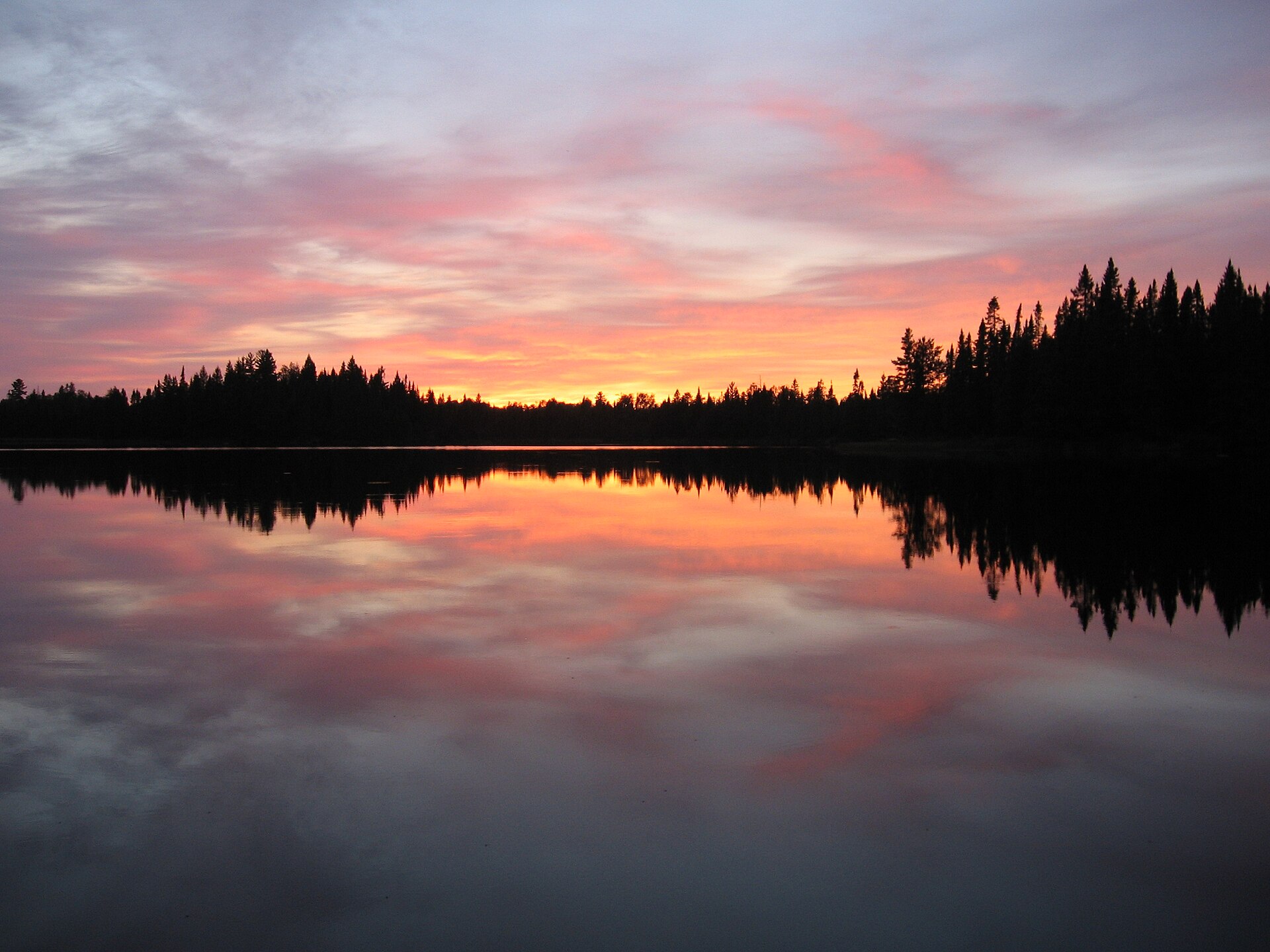
A quiet lake ringed with conifers in the Boundary Waters Canoe Area Wilderness, Minnesota
A quiet lake ringed with conifers in the Boundary Waters Canoe Area Wilderness, Minnesota. Photo: Reid Priedhorsky (CC BY-SA 3.0) — source file.

Where this trip runs

Loading official route points…
Verified September 2026

The border route runs from the Moose Lake chain through Basswood, the Knife Lake corridor and Saganaga to the end of the Gunflint Trail. Entry permits are quota-controlled by entry point and date, so your launch is fixed before you leave home. Motor restrictions, portage lengths and campsite locations are on the Forest Service visitor map.

Travel tips before you commit

Copied from the managing agency's own material. Where the agency publishes nothing, this says so.

Best months
May, June, July, August, September
Typical time
8–14 days
Distance
Roughly 80–150 miles by variation
Difficulty
moderate
Permit
A quota permit is required for every overnight trip from May 1 through September 30, reserved in advance through Recreation.gov — popular entry points sell out the day the season opens. Day use and off-season overnights use self-issued permits at the entry point.

Recreation.gov — BWCAW permits

Permit window
Opens May 1, closes September 30.

Recreation.gov — BWCAW permits

Cost
Not published by the agency.

Hazards the agency names

  • Cold water — hypothermia risk at ice-out and in fall
  • Black bears at camps with poor food discipline
  • Portage injuries: slips on wet rock and root tangles
  • Sudden severe thunderstorms on big water
  • Ticks and Lyme disease
  • Giardia in untreated lake water

Local culture and history

A million acres inside the largest forest east of the Mississippi

The Forest Service records that the Superior National Forest was established in 1909, covers three million acres, is the largest national forest east of the Mississippi River, sits at the southernmost edge of the boreal forest ecosystem, and holds what it calls a rich cultural history.

Within that forest lies the one-million-acre Boundary Waters Canoe Area Wilderness, bordered by Canada, Lake Superior and Voyageurs National Park.

Source: USFS — Superior National Forest

Getting there and who to ask

We have not verified published gateway services, shuttles or office details for this trip. Use the route map's access points and contact the managing agency directly — we will not guess at outfitters or prices.

Voices from the record

Quoted word for word from published accounts. We do not publish invented trip reports.

Established in 1909, the three-million-acre Superior National Forest is the largest national forest east of the Mississippi River.

Plan this trip