Skip to content
Wild10

Canoe trip planning

Canoe Trip Destination Guides: Culture, Photos and Travel Tips

A guide to each of the ten extreme canoe trips — real photographs of the place, the cultural history the managing agency publishes, and the practical travel details we could verify.

Every photograph here is a real picture of the place, credited to the photographer or agency that made it. Every piece of history is summarised from, or quoted out of, the managing agency's own published pages. Where an agency publishes nothing, the guide says so rather than filling the gap.

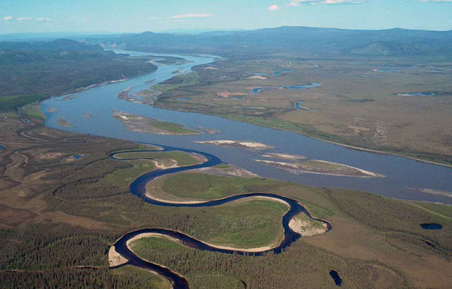
Aerial view of the Charley River meeting the Yukon River in interior Alaska

Yukon River: Eagle to Circle

Interior Alaska

Roughly 158 roadless river miles where cold water, braided channels, driftwood, and delayed rescue demand expedition-level self-reliance.

Best months
June, July, August
Permit
The National Park Service does not require a permit to float the Yukon through the preserve or to camp on it. Commercial and guided operations do need authorization, and public-use cabins have their own rules. Confirm the current posting before you go.

Photo: USGS (Public domain)
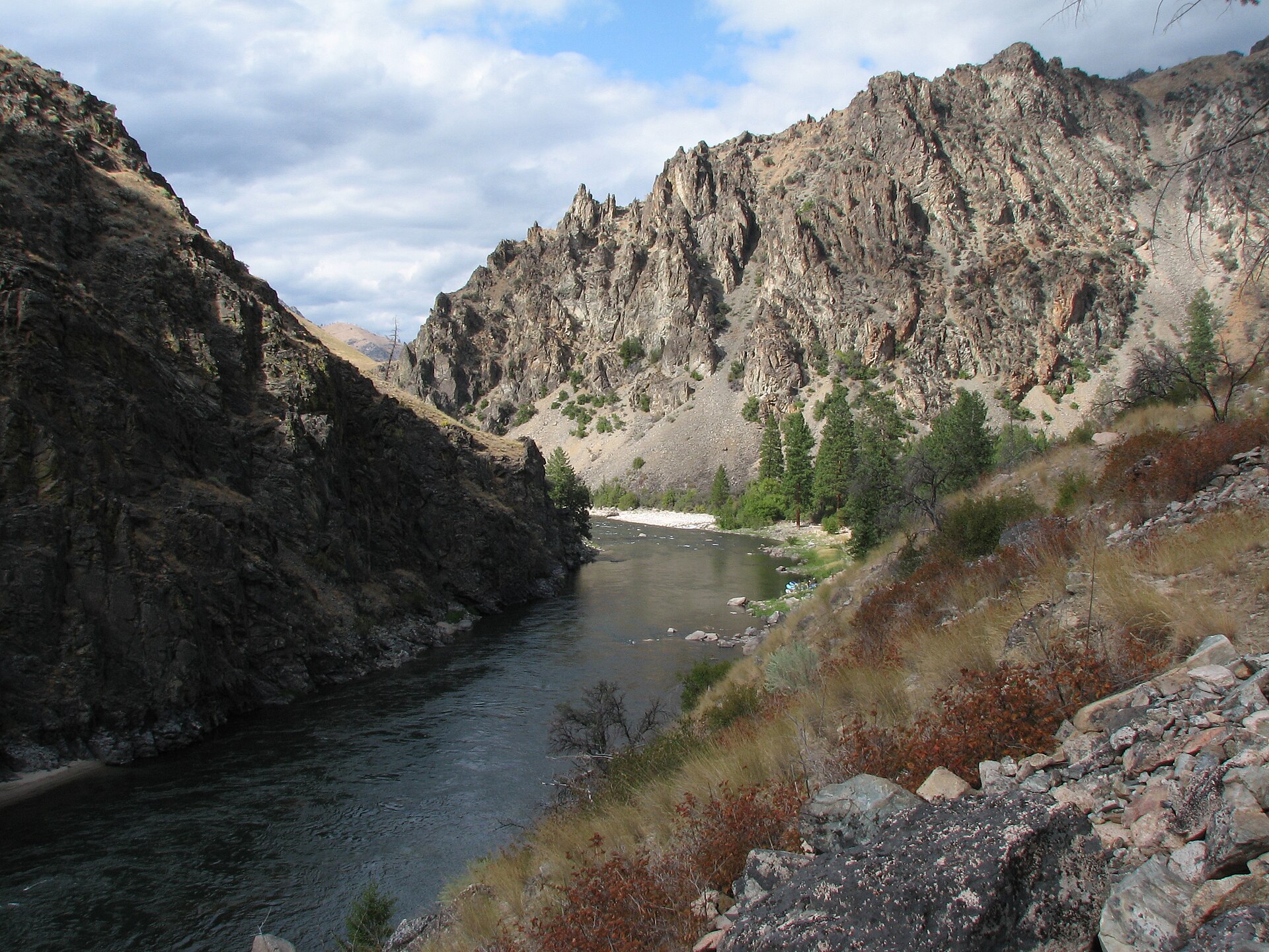
The Middle Fork of the Salmon River running through the Frank Church–River of No Return Wilderness, Idaho

Middle Fork Salmon River

Frank Church–River of No Return Wilderness, Idaho

A 104-mile wilderness river with continuous rapids; an open-canoe descent belongs only to expert whitewater paddlers.

Best months
June, July, August, September
Permit
A float permit is required year-round for every boater on the Middle Fork. During the control season (May 28 – September 3) permits are allocated by competitive lottery through Recreation.gov; outside those dates you self-issue. Confirm the current season dates before applying.

Photo: Rex Parker (CC BY 2.0)

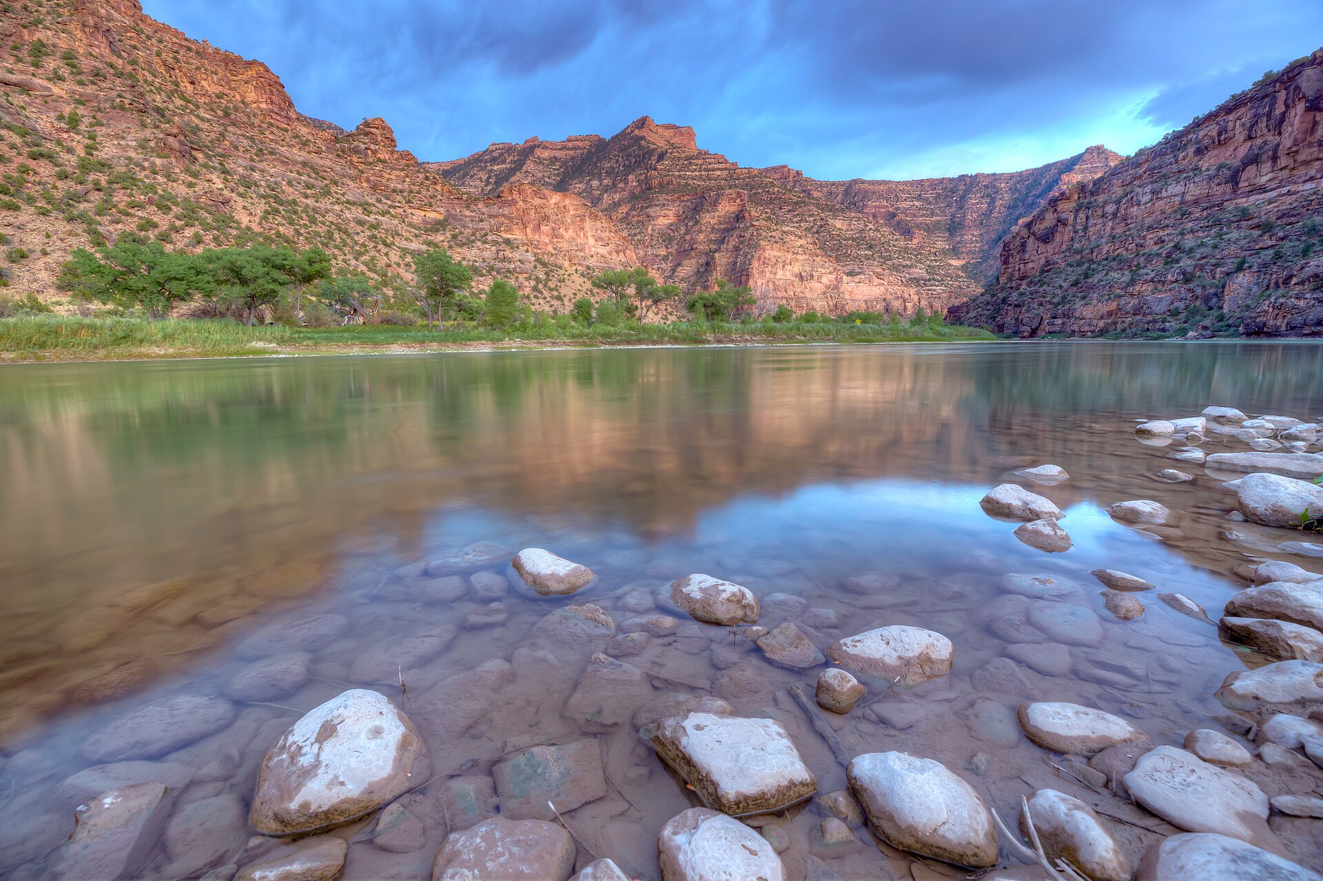
The Green River winding through Utah's Desolation Canyon

Green River: Desolation and Gray Canyons

BLM Price Field Office, Utah

An 84-mile desert canyon expedition mixing dozens of rapids with heat, flash floods, cold runoff, and almost no exits.

Best months
May, June, July, August, September
Permit
A BLM river permit is required year-round for Desolation and Gray Canyons. Peak-season launches (roughly May 1 – September 30) are allocated by lottery through Recreation.gov; off-season permits are available without the lottery.

Photo: Bureau of Land Management (mypubliclands) (CC BY 2.0)

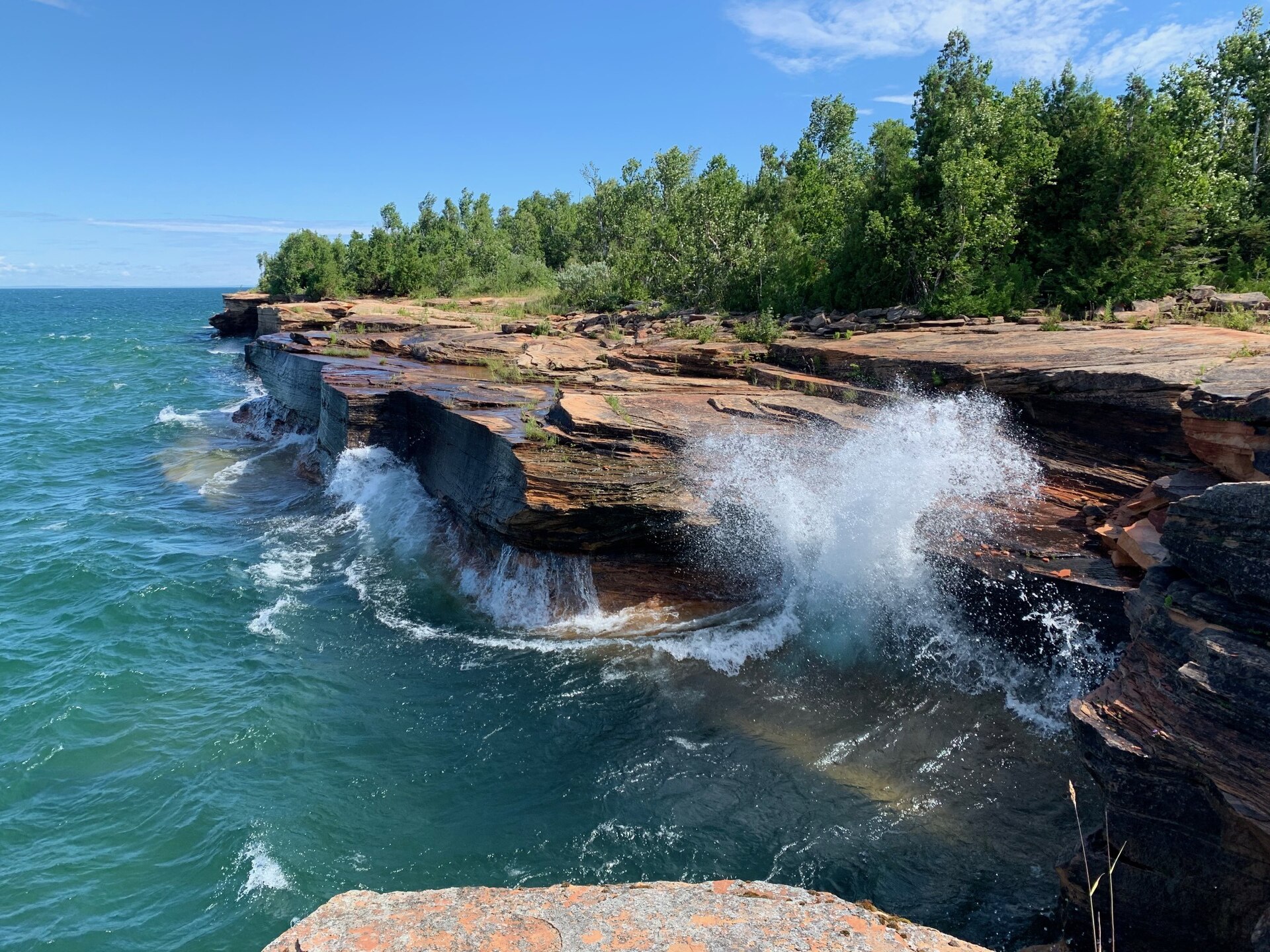
Lake Superior waves breaking against the sandstone shoreline of Devils Island, Apostle Islands National Lakeshore

Apostle Islands Sea Caves Crossing

Apostle Islands National Lakeshore, Wisconsin

Exposed island crossings, cliff-bound shorelines, fog, and cold Lake Superior water make this inland-sea trip unforgiving.

Best months
June, July, August, September
Permit
A wilderness camping permit is required for every overnight stay in the national lakeshore, reserved in advance through Recreation.gov. Day paddling the mainland caves needs no permit, but every island night does.

Photo: NPS Photo (Public domain)

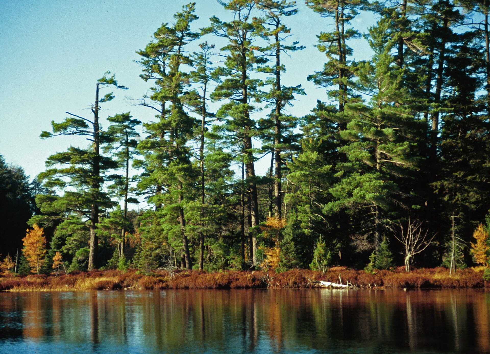
Old-growth white pine at Katherine Lake in the Sylvania Wilderness, Ottawa National Forest, Michigan

Sylvania Wilderness in November

Ottawa National Forest, Michigan

A normally approachable lake chain becomes a cold-immersion expedition when November brings near-freezing water, early ice, snow, and near-empty backcountry.

Best months
May, June, July, August, September, October
Permit
Overnight trips into the Sylvania Wilderness require a camping permit for a specific designated campsite, reserved through Recreation.gov. Sites are individually numbered on named lakes, so you book the lake you actually intend to sleep on. Day use is also fee-managed at the recreation area. Fees change season to season — confirm the current amount on the Recreation.gov listing before you drive up.

Photo: Joseph O'Brien, USDA Forest Service (Public domain)

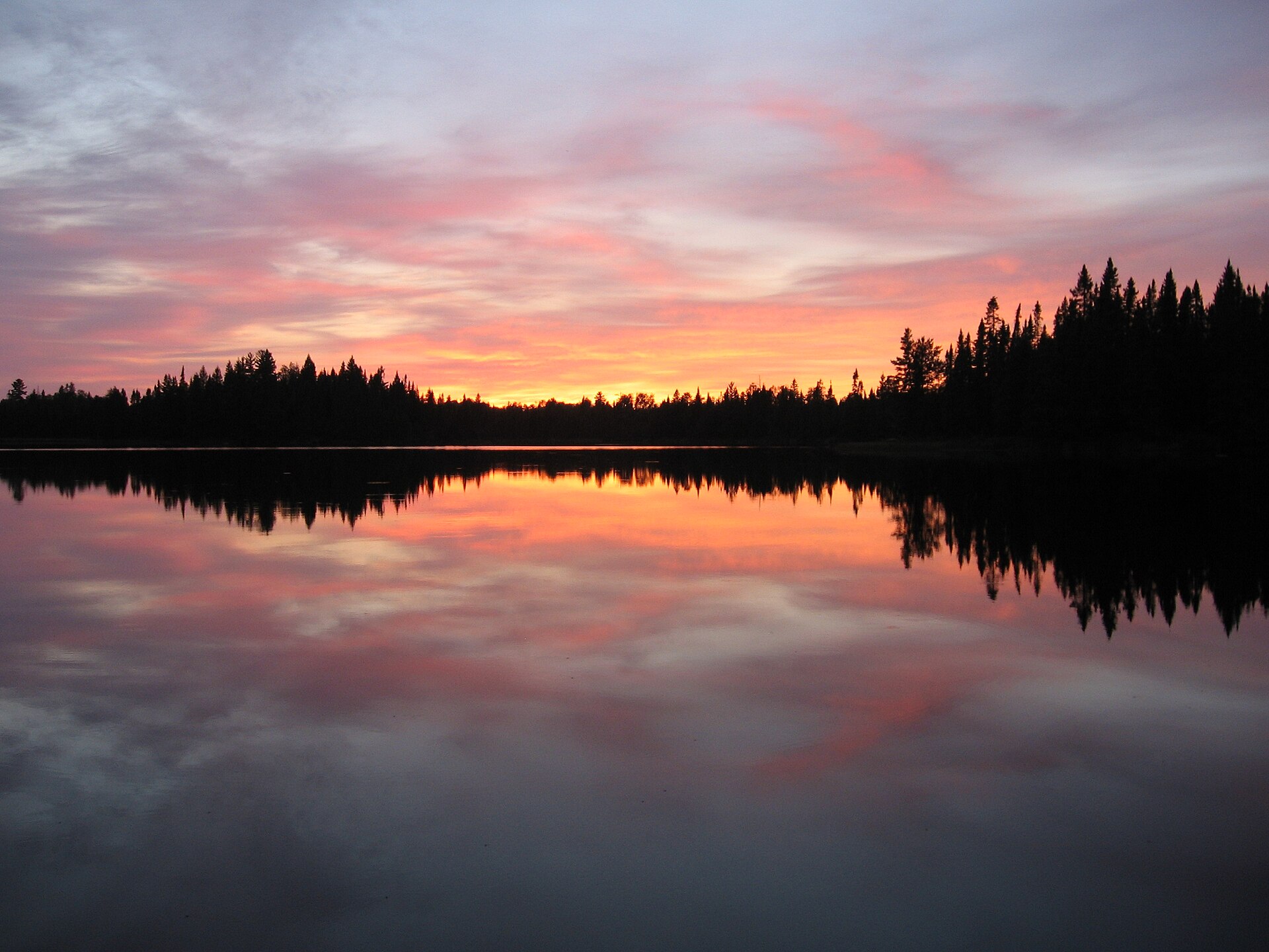
A quiet lake ringed with conifers in the Boundary Waters Canoe Area Wilderness, Minnesota

Boundary Waters Border Lakes Traverse

Superior National Forest, Minnesota

An 80–150-mile self-supported traverse where wind, cold water, long portages, wildfire, and navigation compound over many days.

Best months
May, June, July, August, September
Permit
A quota permit is required for every overnight trip from May 1 through September 30, reserved in advance through Recreation.gov — popular entry points sell out the day the season opens. Day use and off-season overnights use self-issued permits at the entry point.

Photo: Reid Priedhorsky (CC BY-SA 3.0)

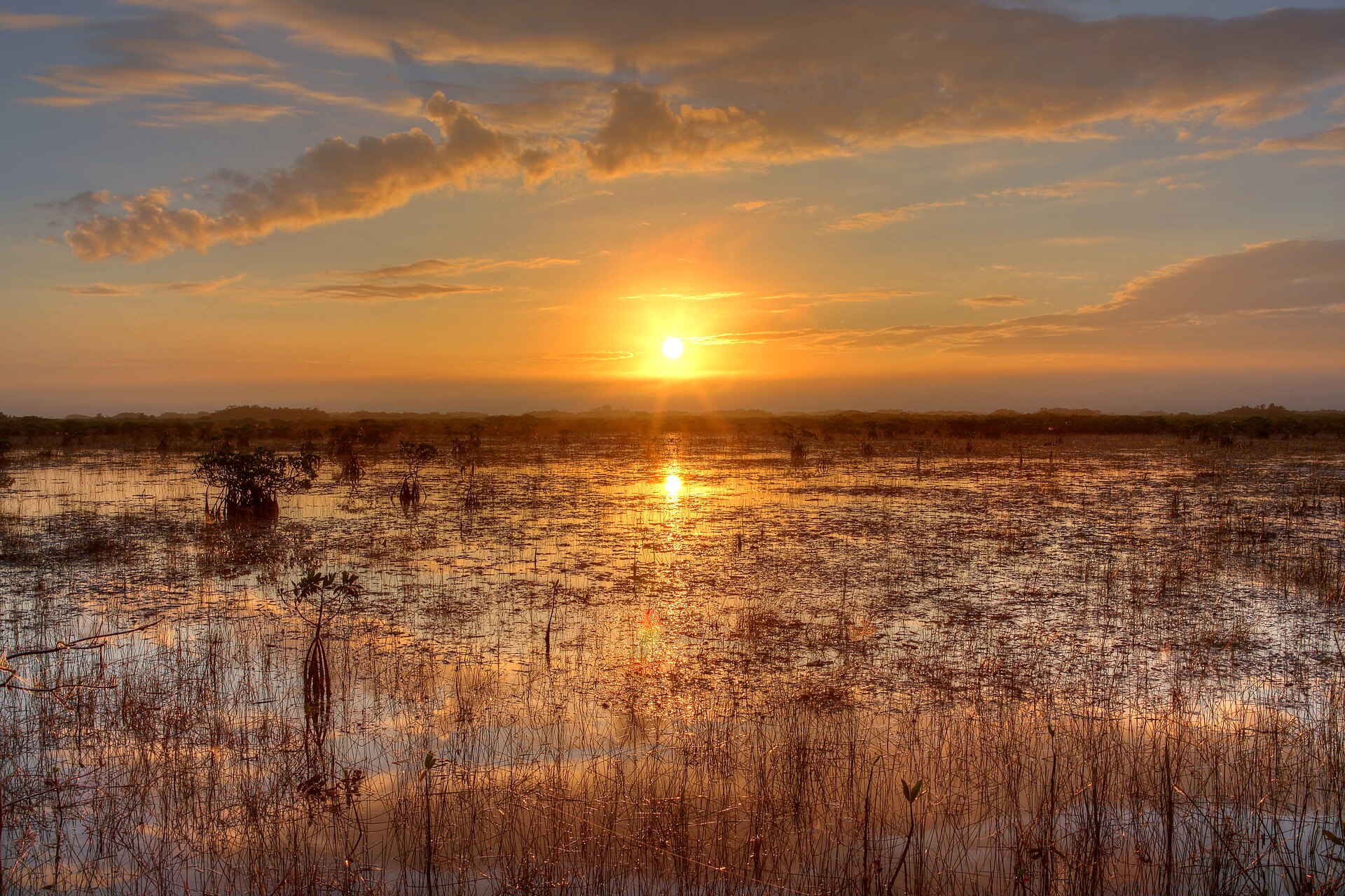
Sunset over the sawgrass River of Grass in Everglades National Park, Florida

Everglades Wilderness Waterway

Everglades National Park, Florida

A roughly 99-mile mangrove and open-bay maze governed by tides, wind, scarce fresh water, bugs, and exact campsite reservations.

Best months
January, February, March, April, December
Permit
A wilderness permit is required for all overnight camping in Everglades National Park, with reservations available on a rolling 90-day window through Recreation.gov. Chickee and ground sites are site-specific — your permit names where you sleep each night.

Photo: G. Gardner, NPS Photo (Public domain)

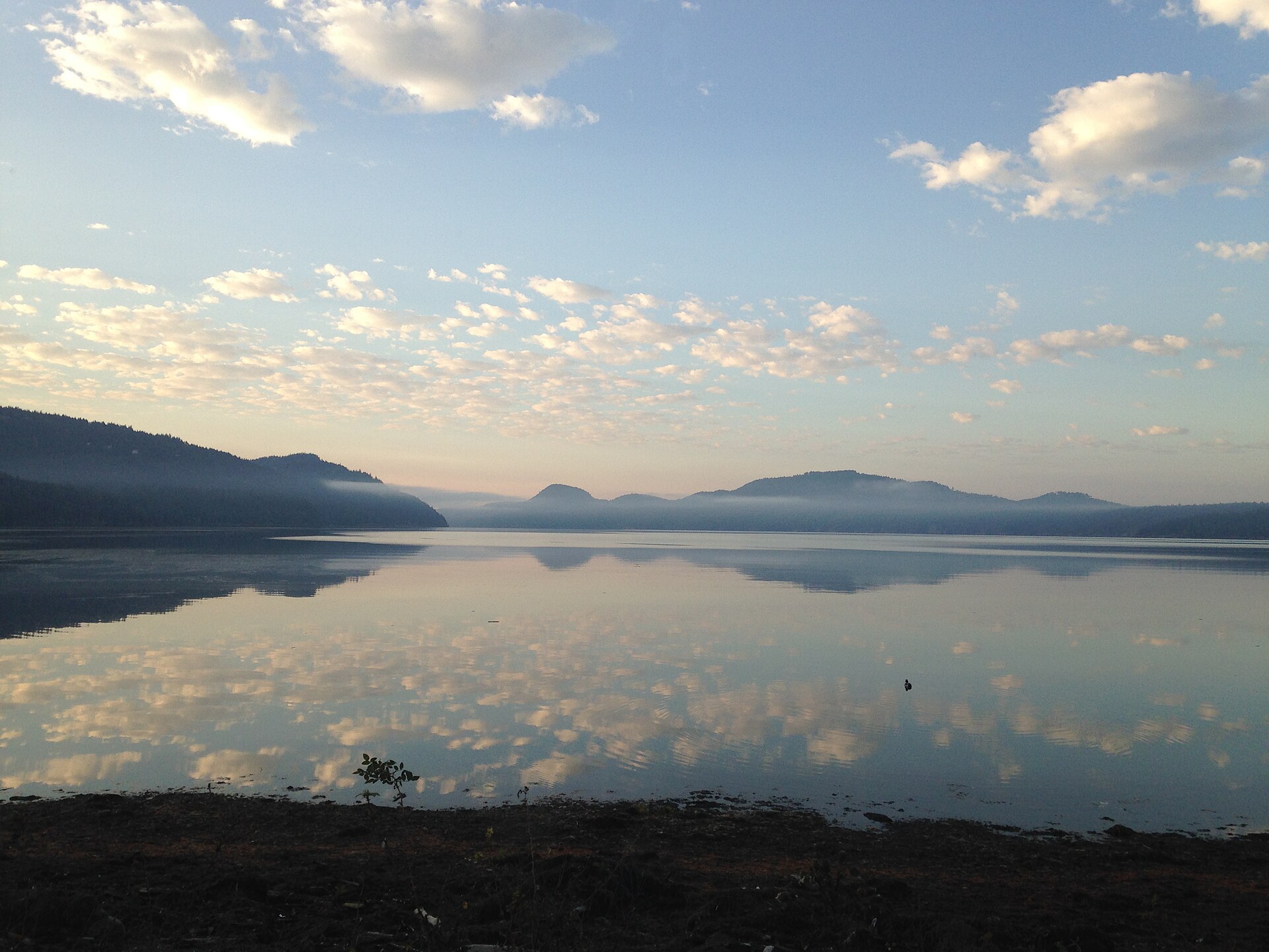
Sunrise at Crescent Beach, San Juan Islands National Monument, Washington

San Juan Islands Circumnavigation

San Juan Islands, Washington

A cold-water island circuit where tidal races, fog, shipping traffic, and exposed crossings require coastal expedition judgment.

Best months
June, July, August, September
Permit
No permit is needed to paddle the Salish Sea itself, but overnight camping is almost entirely at Washington State Parks marine-trail sites (per-night fee, first-come) or BLM sites in the San Juan Islands National Monument with their own capacity rules. Cascadia Marine Trail sites are reserved for non-motorized, beachable craft.

Photo: Sidney Hayworth (CC BY-SA 4.0)

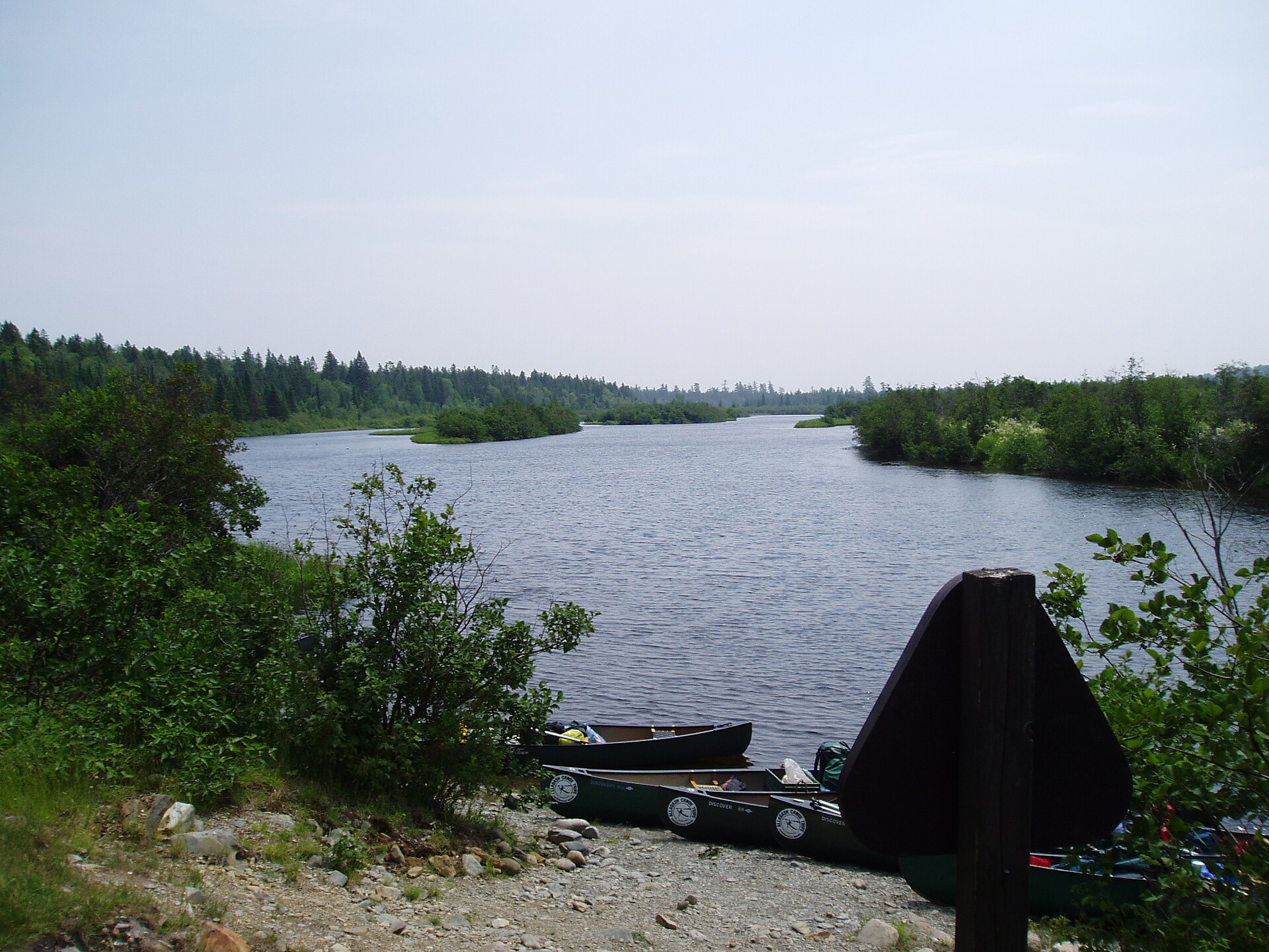
The Allagash River in northern Maine

Allagash Wilderness Waterway

Northern Maine

A classic northern forest traverse with big-lake wind, cold water, long isolation, and Chase Rapids logistics.

Best months
May, June, July, August, September
Permit
Overnight campers register and pay per-person, per-night fees at North Maine Woods checkpoints or with Allagash Wilderness Waterway rangers. No advance lottery — but you must pass a checkpoint to reach the put-ins, and fees are collected there.

Photo: Shadow2700 (Public domain)

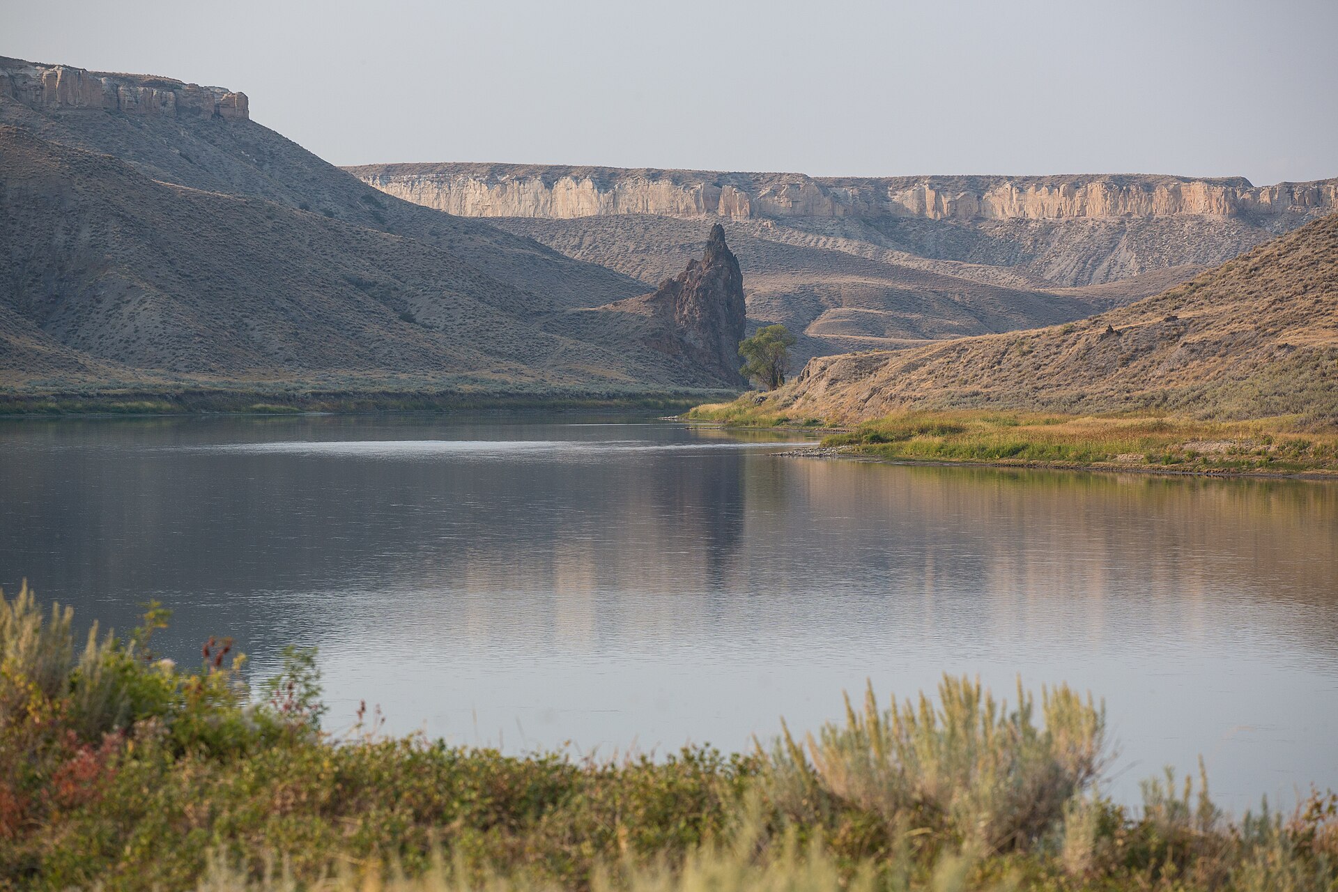
Cliffs and open plains along the Missouri River in the Upper Missouri River Breaks National Monument, Montana

Upper Missouri River Breaks

BLM Upper Missouri River Breaks National Monument, Montana

A deceptively calm 149-mile corridor where heat, thunderstorms, wind, lightning, mud, and scarce exits define the challenge.

Best months
May, June, July, August, September
Permit
No fee or lottery for private groups under 20, but self-registration at the launch point is mandatory for all river users — it is the BLM's only safety record that you are on the river.

Photo: Bureau of Land Management (Public domain)