


Skip to content
Wild10

Destination guide

Green River: Desolation and Gray Canyons

An 84-mile desert canyon expedition mixing dozens of rapids with heat, flash floods, cold runoff, and almost no exits.

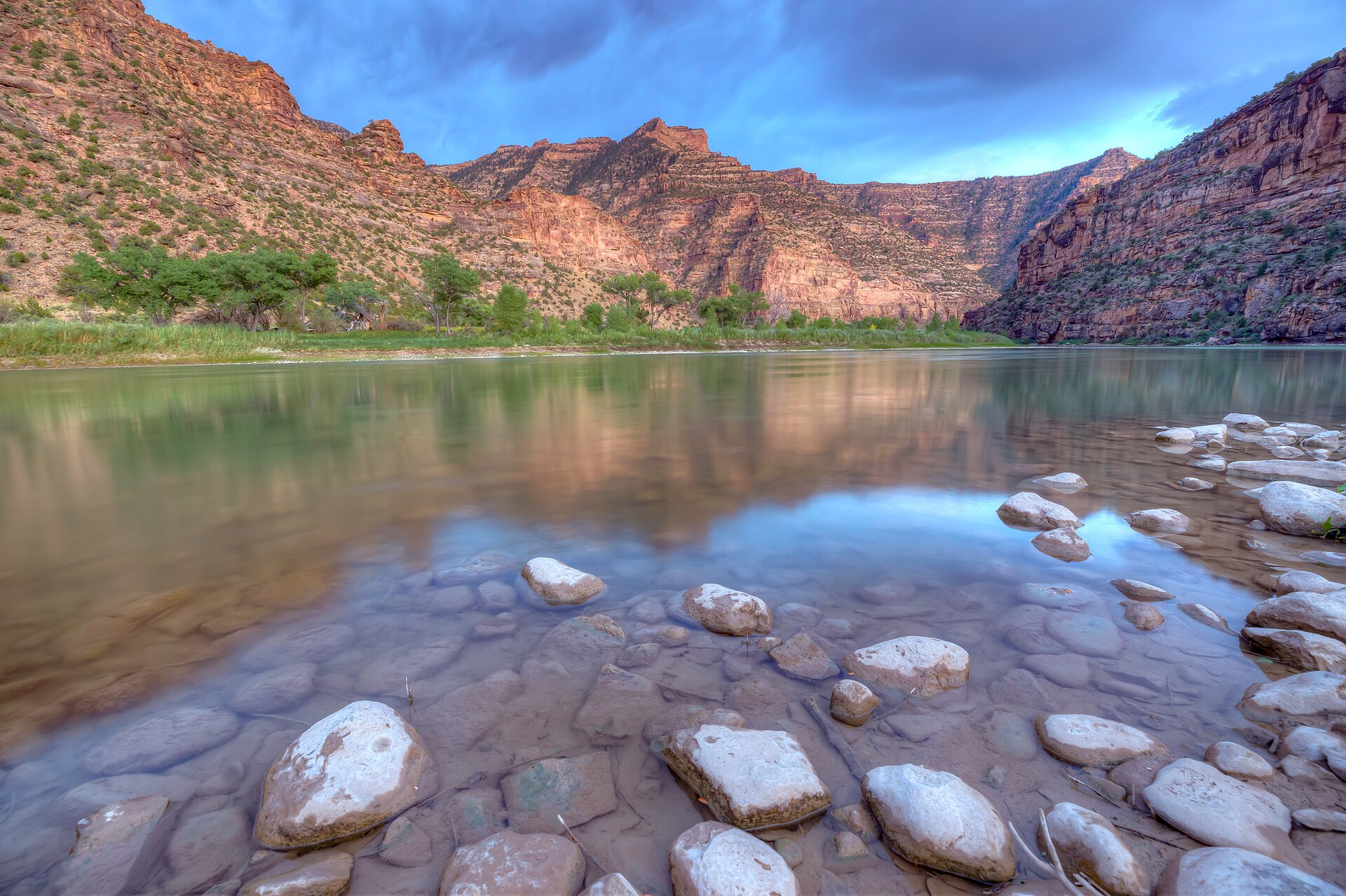
The Green River winding through Utah's Desolation Canyon
The Green River winding through Utah's Desolation Canyon. Photo: Bureau of Land Management (mypubliclands) (CC BY 2.0) — source file.

Where this trip runs

Loading official route points…
Verified September 2026

Desolation and Gray Canyons run through one of the deepest canyon systems in the Lower 48 with over sixty rapids and riffles. BLM publishes coordinates for the launch and the take-out but not for the individual rapids and camps, so only the endpoints are pinned here. Camp assignments and rapid locations come with your permit packet and the BLM river map.

Travel tips before you commit

Copied from the managing agency's own material. Where the agency publishes nothing, this says so.

Best months
May, June, July, August, September
Typical time
6–8 days
Distance
84 miles
Difficulty
expert
Permit
A BLM river permit is required year-round for Desolation and Gray Canyons. Peak-season launches (roughly May 1 – September 30) are allocated by lottery through Recreation.gov; off-season permits are available without the lottery.

Recreation.gov — Desolation Gray permit

Permit window
Opens May 1, closes September 30.

Recreation.gov — Desolation Gray permit

Cost
Not published by the agency.

Hazards the agency names

  • Class III–IV rapids including Joe Hutch and Three Fords
  • Severe mosquitoes in June and July
  • Flash floods in side canyons during monsoon storms
  • Extreme heat and dehydration
  • Black bears very active around the Sand Wash put-in
  • Deep remoteness — no cell service

Local culture and history

The largest wilderness study area in the lower 48

BLM describes the Desolation Canyon Wilderness Study Area as 290,845 acres — the largest WSA the agency manages in the contiguous 48 states — with the 84-mile segment of the Green River through Desolation and Gray canyons as its most prominent feature.

The agency notes the canyon at Rock Creek is more than a mile deep, and that the study area holds arches, pinnacles and other erosional remnants not known to occur elsewhere in the Wasatch Formation in similar concentrations.

Source: BLM — Desolation Canyon

Getting there and who to ask

We have not verified published gateway services, shuttles or office details for this trip. Use the route map's access points and contact the managing agency directly — we will not guess at outfitters or prices.

Voices from the record

Quoted word for word from published accounts. We do not publish invented trip reports.

At 290,845 acres, the Desolation Canyon Wilderness Study Area is the largest WSA managed by BLM in the contiguous 48 states.

Plan this trip