Skip to content
Wild10

Become a contributor

Join

Destination guide

Sylvania Wilderness in November

A normally approachable lake chain becomes a cold-immersion expedition when November brings near-freezing water, early ice, snow, and near-empty backcountry.

Share
Follow
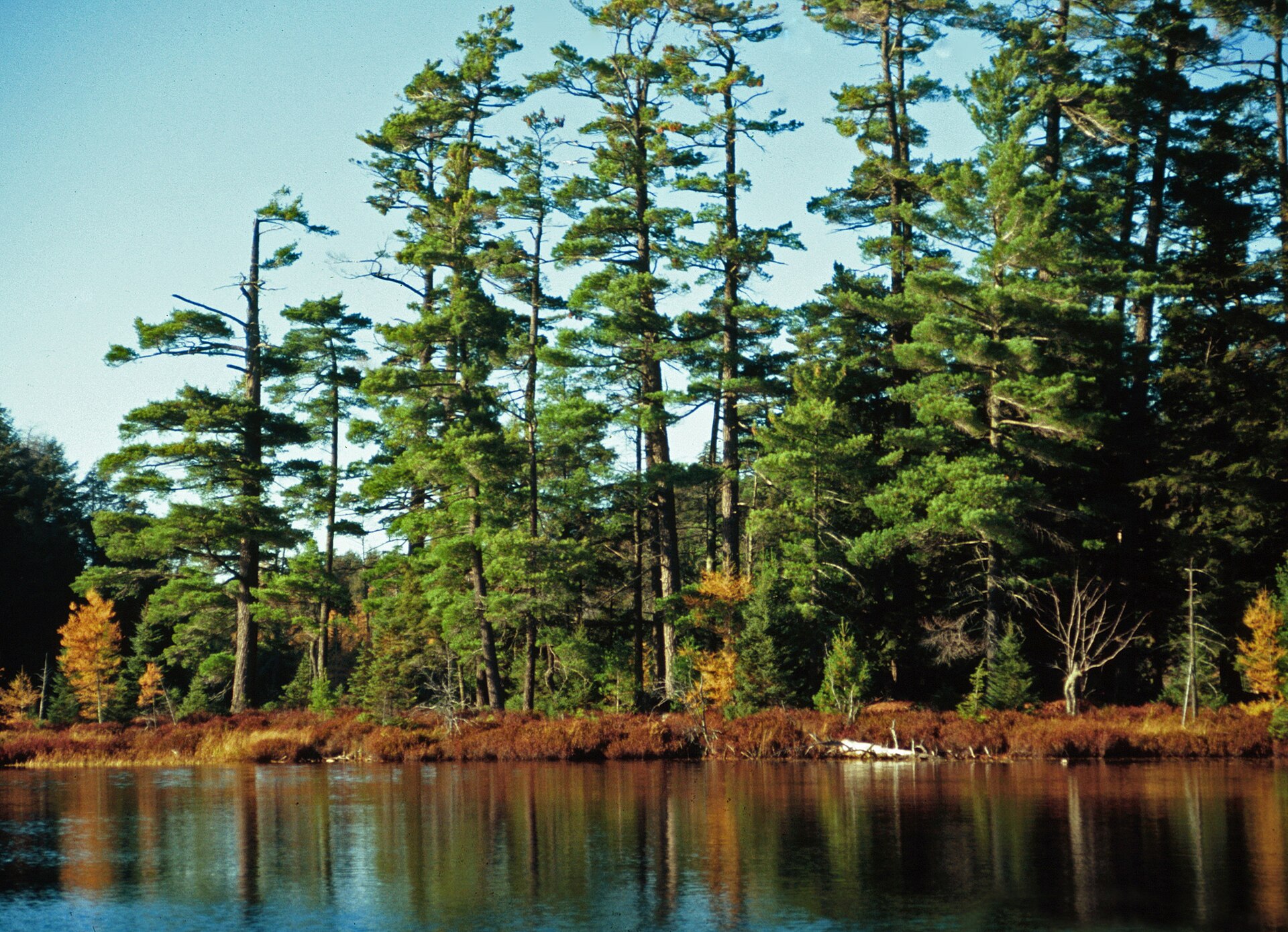
Old-growth white pine at Katherine Lake in the Sylvania Wilderness, Ottawa National Forest, Michigan
Old-growth white pine at Katherine Lake in the Sylvania Wilderness, Ottawa National Forest, Michigan. Photo: Joseph O'Brien, USDA Forest Service (Public domain) — source file.

Photographs of the place

Real photographs of this wilderness, each credited to the photographer and linked to the source file.

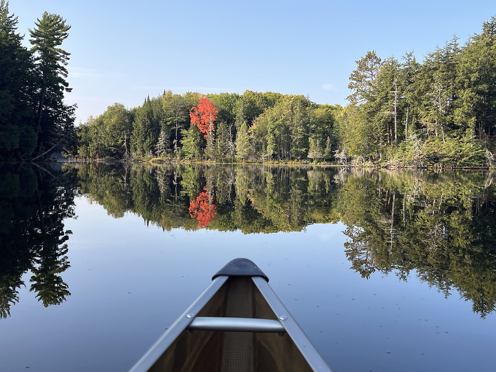
Red maple leaves in front of the bow of a canoe on Crooked Lake in the Sylvania Wilderness, September 2024
Red maple leaves in front of the bow of a canoe on Crooked Lake in the Sylvania Wilderness, September 2024. Photo: Lee Willaert, USDA Forest Service (Ottawa National Forest) (Public domain) — source file.
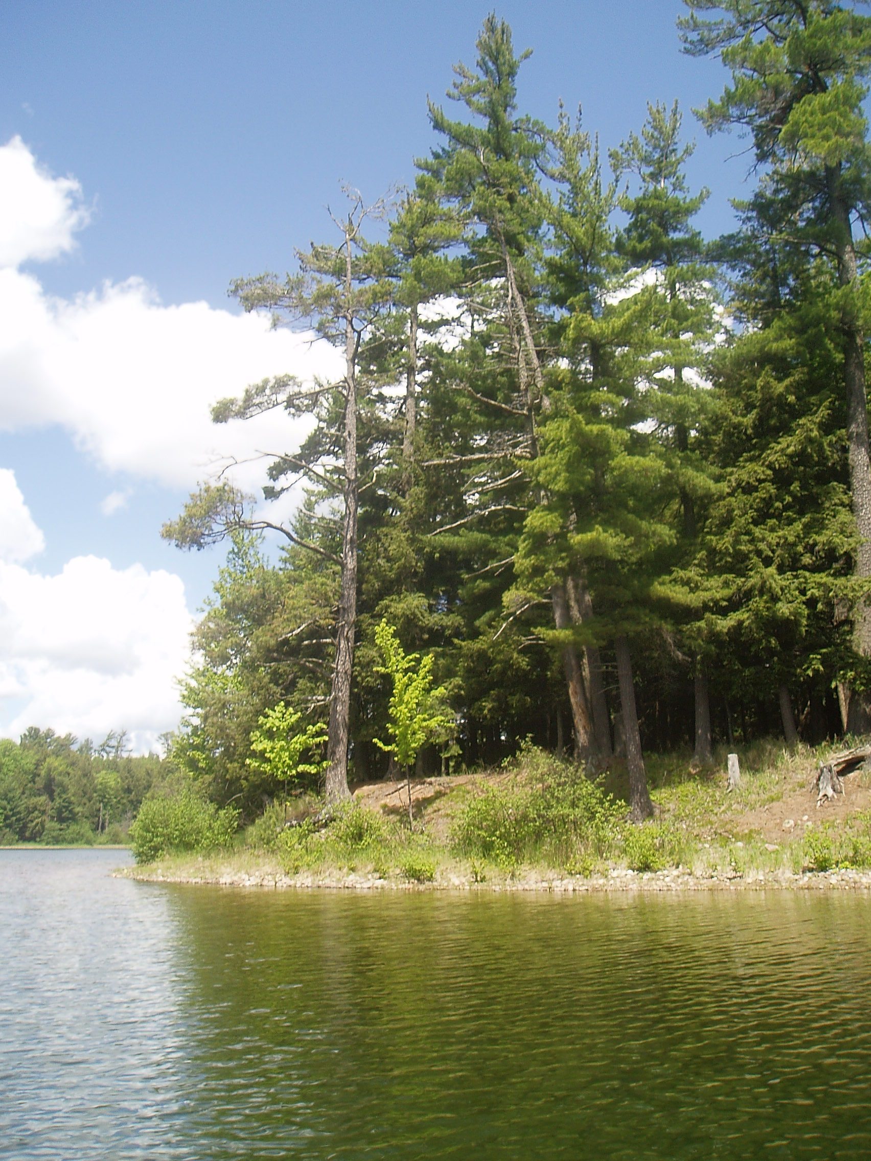
Clark Lake in the Sylvania Wilderness, Michigan, photographed in June 2006
Clark Lake in the Sylvania Wilderness, Michigan, photographed in June 2006. Photo: H.G. Judd (CC BY-SA 3.0) — source file.
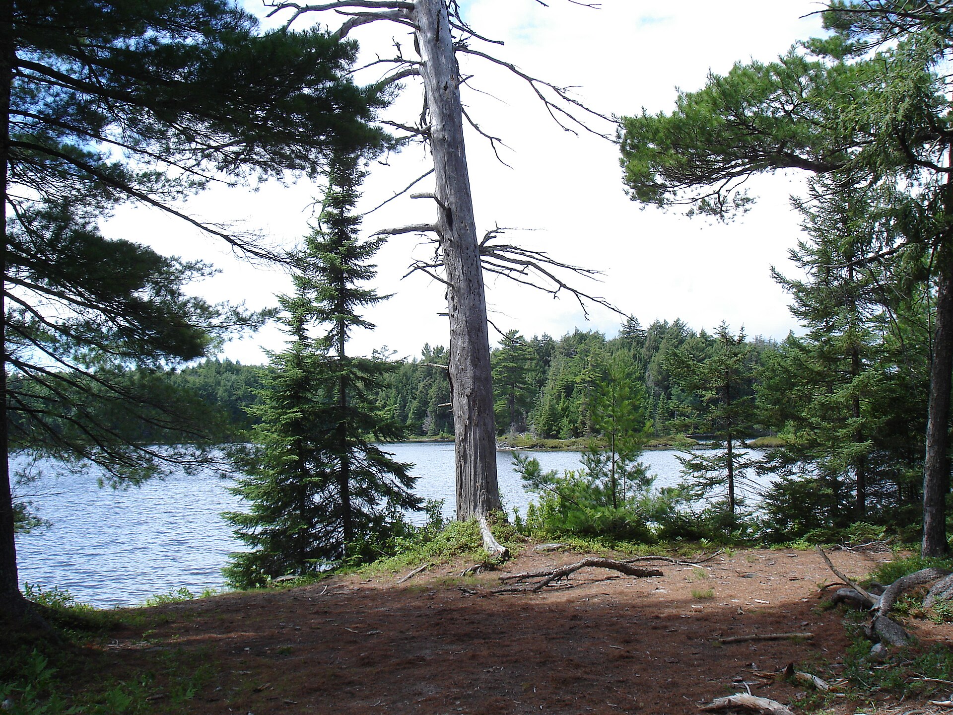
Katherine Lake in the Sylvania Wilderness, Gogebic County, Michigan, July 2007
Katherine Lake in the Sylvania Wilderness, Gogebic County, Michigan, July 2007. Photo: Ian Shackleford (CC BY 3.0) — source file.
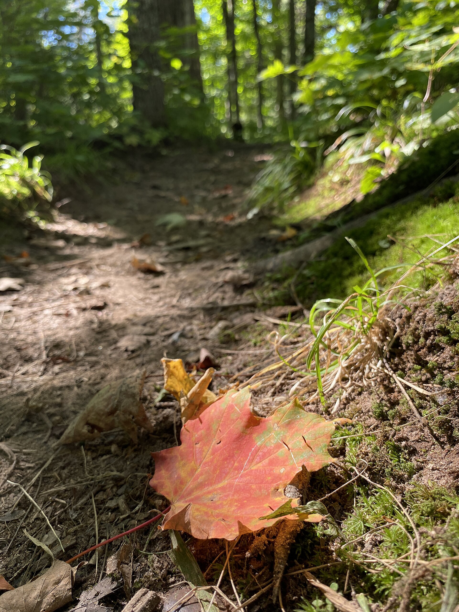
Fallen sugar maple leaves on the Whitefish Lake Trail in the Sylvania Wilderness, September 2024
Fallen sugar maple leaves on the Whitefish Lake Trail in the Sylvania Wilderness, September 2024. Photo: Shanelle Saunders, USDA Forest Service (Ottawa National Forest) (Public domain) — source file.
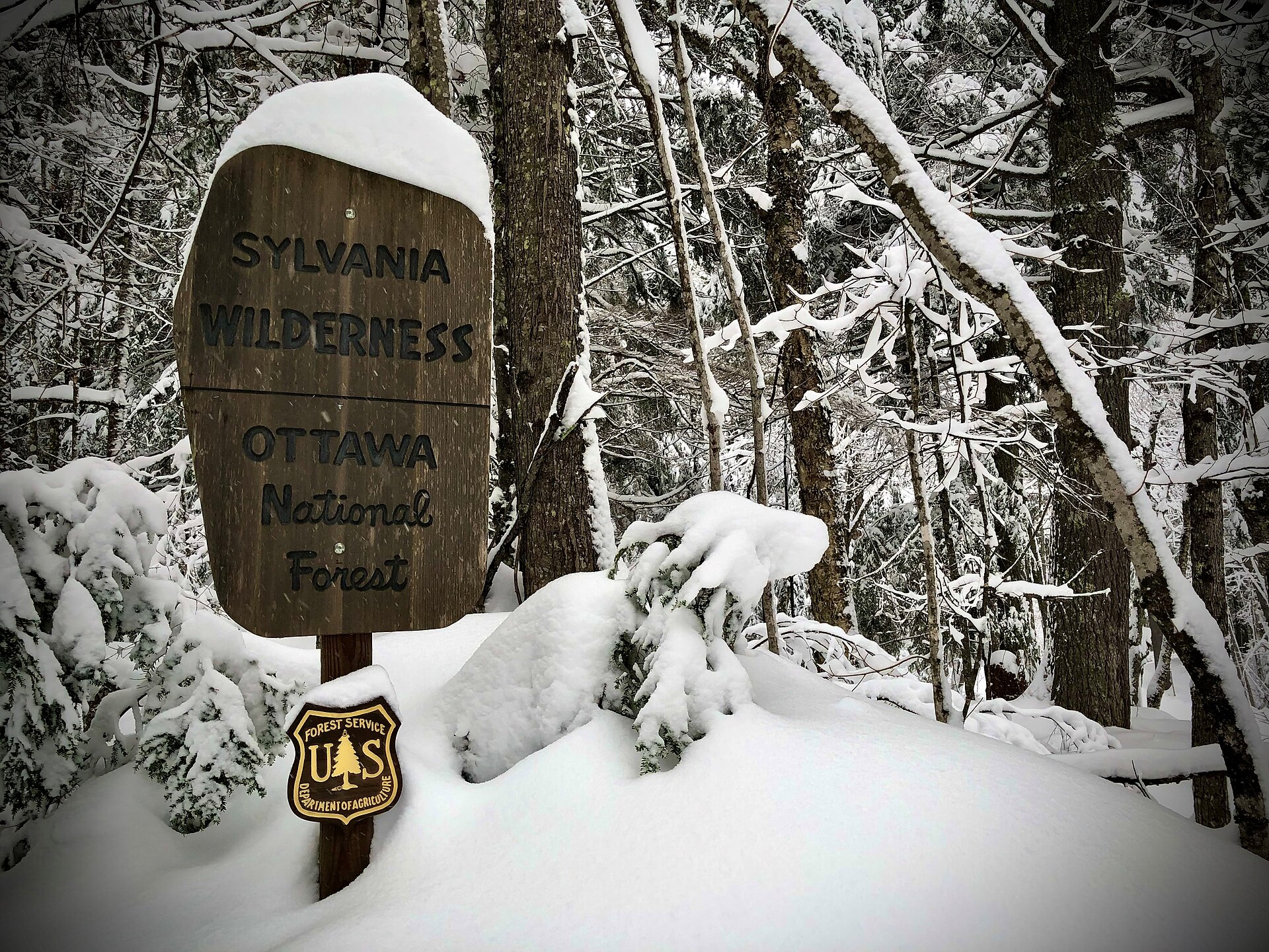
Fresh snowfall on the Thompson Lodge trailhead sign in the Sylvania Wilderness, January 2023
Fresh snowfall on the Thompson Lodge trailhead sign in the Sylvania Wilderness, January 2023. Photo: USDA Forest Service (Ottawa National Forest) (Public domain) — source file.

Travel tips before you commit

Copied from the managing agency's own material. Where the agency publishes nothing, this says so.

Best months
May, June, July, August, September, October
Typical time
2–7 days
Distance
Custom 2–4 day circuit
Difficulty
moderate
Permit
Overnight trips into the Sylvania Wilderness require a camping permit for a specific designated campsite, reserved through Recreation.gov. Sites are individually numbered on named lakes, so you book the lake you actually intend to sleep on. Day use is also fee-managed at the recreation area. Fees change season to season — confirm the current amount on the Recreation.gov listing before you drive up.

Sylvania Wilderness campsite permits

Permit window
Not published by the agency.
Cost
Day use is also fee-managed at the recreation area. Fees change season to season — confirm the current amount on the Recreation.gov listing before you drive up.

Sylvania Wilderness campsite permits

Hazards the agency names

  • Cold-water immersion — spring and autumn lake temperatures will incapacitate an unprepared swimmer long before shore. Wear the PFD, always.
  • Wind on the big water — Crooked and Clark can build whitecaps that a loaded canoe should not be crossing. Hug the shoreline and wait it out.
  • Sudden thunderstorms — open lakes are the worst place to be caught. Watch the western sky and get off the water early.
  • Black bears — the Upper Peninsula population is healthy. Hang food or use a canister; never keep food in the tent.
  • Bugs — black flies in late May and June, mosquitoes all summer. A head net is not optional in early season.
  • No cell coverage on most interior lakes — plan on being out of contact and leave a written itinerary with someone at home.
  • Widowmakers in the old-growth — dead hemlock and maple limbs come down in wind. Look up before you pitch a tent.

Local culture and history

18,327 acres of old growth on the Lake Superior divide

The Forest Service describes Sylvania as 18,327 acres of primitive land inside the National Wilderness Preservation System, holding 34 named lakes, 50 designated backcountry campsites, and old-growth forest that shelters rare orchids, bald eagles, loons and osprey. Some lakes carry sandy beaches; others are ringed by record-size red and white pines.

Sylvania sits on the watershed divide between Lake Superior and the Mississippi River, which is why its lakes are fed by springs and local run-off rather than inflowing streams — the reason the water is as clear as it is, and the reason the Forest Service treats these lakes as fragile enough to warrant their own fishing rules.

Source: USFS Ottawa National Forest — Sylvania Wilderness Backcountry Camping

A private fishing club that became a wilderness

The country was used for generations by Ojibwe people, known from scattered artifacts found in the area. In 1895 the Wisconsin lumberman A.D. Johnston bought 80 acres at the south end of Clark Lake meaning to cut the big pines, saw the place, and decided instead to keep it standing. Friends bought adjoining land, and the Sylvania Club was formed around fishing, hunting and hiking, with lodges and cabins on the larger lakes and a guest list of a few wealthy and well-connected families.

The Forest Service bought the whole property in 1967, removed the buildings, and managed it as a special recreation area until Congress designated it federal wilderness under the Michigan Wilderness Act of 1987. The Thompson Lodge trailhead name is one of the few surviving echoes of the club era.

Source: Wikipedia — Sylvania Wilderness (history)

The rules that keep it quiet

Forest Order 09-07-21-07 is what makes Sylvania feel different from a busy lake district. Inside the wilderness the Forest Service prohibits wheeled and mechanical devices, fireworks, metal detectors without authorisation, and pack or saddle animals. Camping is allowed only at sites marked by an agency fire ring, with no more than six people at a site, no more than fourteen consecutive nights in one site, and no more than ten people travelling together on any trail, portage or water.

Source: USFS Ottawa National Forest — Wilderness Order 09-07-21-07

Getting there and who to ask

Base camp at Clark Lake, seven miles from Watersmeet

Sylvania (Clark Lake) Campground sits 7 miles southwest of Watersmeet, Michigan, immediately outside the wilderness boundary: 48 drive-in sites across four loops, each with table, fire ring, lantern post and parking spur, plus drinking water in loops 2-4, flush toilets and an accessible vault toilet. A day-use area next to it has the picnic ground, canoe landing and trailheads most paddlers launch from.

The Forest Service publishes seasonal gates: loop 1 opens May 15 and loops 2, 3 and 4 open May 22, all running to October 15, after which loop 1 drops to reduced service with no water or garbage until snow closes access.

Source: USFS Ottawa National Forest — Sylvania (Clark Lake) Campground

Reservations, passes and who to call

All 50 wilderness campsites are reservation-only through Recreation.gov — the Forest Service states plainly that there are no first-come, first-served walk-in sites. Sites are paddle-in or walk-in, marked by a shoreline post, and fit two to three tents; only some are reached by maintained trail, so check the Sylvania map before planning to hike to one.

Day use and annual passes for the Sylvania Recreation Area are charged May 15 to September 30; outside those dates the area is fee-free. The Ottawa National Forest Supervisor's Office is at E6248 US 2, Ironwood, MI 49938, 906-932-1330.

Source: Recreation.gov — Sylvania Wilderness Backcountry Camping

Voices from the record

Quoted word for word from published accounts. We do not publish invented trip reports.

“Encompassing one of the largest tracts of remaining old growth forest in the Midwest, the Sylvania Wilderness encompasses 18,327 acres and is part of the National Wilderness Preservation System.”

“Visitors can camp in 50 designated campsites within the Sylvania Wilderness. Visitors enjoy endless canoeing, fishing, hiking and wildlife viewing opportunities.”

Plan this trip

Maps, GPS & compass for this trip

Carry a waterproof paper map and a compass you can steer by, and treat the GPS as the backup — not the other way round. Buying links go to Amazon; Wild10 earns a commission at no cost to you.

Fishing at Sylvania Wilderness in November

Planning to fish Sylvania Wilderness in November, Michigan? Fishing licenses, open seasons and catch limits in Michigan are set by the local wildlife authority and change every year — check the official source before you cast a line.

Do I need a fishing license at Sylvania Wilderness in November?

  • A Michigan fishing license is normally required for anyone over the local youth age.
  • Read the current Michigan fishing regulations for special waters, barbless-hook or catch-and-release rules.
  • Clean, drain and dry boats and gear between waters to stop invasive species.
  • Sylvania Wilderness in November may add its own fishing rules on top of Michigan law — check the managing agency too.

Hunting near Sylvania Wilderness in November

Thinking about hunting Sylvania Wilderness in November, Michigan? Hunting seasons, tags and draws in Michigan are set by the wildlife authority each year. Confirm the rules for your species and unit before you go.

Is hunting allowed at Sylvania Wilderness in November?

  • Hunting is prohibited or heavily restricted in many national parks, wilderness and protected areas — confirm with the Sylvania Wilderness in November land manager before planning a hunt, and look to surrounding public land.

What do I need to hunt in Michigan?

  • A Michigan hunting license — most jurisdictions also require hunter education certification.
  • Species tags or draw results for big game such as deer, elk, moose or bear where they occur.
  • Knowledge of firearm and bow transport rules, which differ by land type and border crossing.