



- Region
- Hawaii, USA
- Best season
- Spring, Summer
- Permits
- Confirm permit requirements, entrance char…
Plan with verified data
Hawaiʻi Volcanoes National Park trip tools
Tools for a trip here
Picked for how, when and where you're going. Free, no signup.
Photos of Hawaiʻi Volcanoes National Park
How to get there
The park is on the island of Hawaiʻi, also commonly called the Big Island, in the state of Hawaii. Confirm current directions and road access before traveling to the Kīlauea summit area.
- Kīlauea summit area
A visitor area affected by the 2018 volcanic events. Most of the park is open as of 2026, but some roads and trails remain closed; confirm summit-area access before setting out.
- Visitor center
The visitor center was among the facilities that reopened in September 2018 after the summit-area closure. Confirm its current operating status before making it the starting point for a visit.
Sources: Wikipedia · Wikivoyage. Confirm road and trailhead conditions with the managing agency before you leave.
Hawaii, USA · Season: Best: Year-round (Weather dependent)
- Mountaineering
- Winter Camping
- Skiing
- Desert Hiking
- Canyoneering
- Sea Kayaking
- Beachcombing
- Hiking
The country
The park encompasses the summits and rift zones of Kīlauea and Mauna Loa, two of the world's most active volcanoes. The backcountry is a harsh, arid landscape composed of endless fields of jagged ʻaʻā and smooth pāhoehoe lava rock. Elevation rises from lush coastal plains up to an immense, barren caldera above the clouds.
Why enthusiasts come
While crowds flock to Kīlauea's crater overlooks, isolation seekers attempt the grueling multi-day ascent of Mauna Loa. The hike demands high physical endurance to navigate glass-sharp rock and thinning oxygen to summit the planet's most massive volcano. The coastal backcountry offers a starkly different experience featuring petroglyphs and desolate sea cliffs.
Top experiences
The Mauna Loa Trail challenges hikers with a massive vertical gain culminating at the summit caldera's rim, offering views across the entire island. Staying in the austere Red Hill or Summit cabins provides shelter in an extreme, high-altitude desert. Coastal backpackers hike the Puna Coast Trail through historical lava flows to reach isolated, palm-fringed oases.
Planner-relevant notes
Backcountry permits are required and issued up to one day in advance at the backcountry office. The Mauna Loa summit trail is often closed due to deep snow, high winds, or renewed volcanic activity. Hikers must pack cold-weather gear, capable navigation tools, and prepare for severe altitude dynamics.
Field notes
- Lava rock will shred standard trail runners; wear durable, stiff-soled hiking boots.
- Trails on the lava fields are primarily marked by stone cairns (ahu) which vanish in frequent whiteout fogs.
- Water catchment tanks at backcountry cabins rely completely on rain and are frequently empty; verify levels with rangers.
- Check current volcanic air quality (VOG) reports, as sulfur dioxide emissions can cause severe respiratory distress.
Where on earth
Satellite imagery flying in from a world view to Hawaiʻi Volcanoes National Park, Hawaii, USA. Use the + / − buttons, or click the map to zoom with your scroll wheel; drag to pan and pinch to zoom on touch.
Coordinates
- Decimal degrees
- 19.4735, -155.5947
- Latitude (DMS)
- 19° 28′ 24.6″ N
- Longitude (DMS)
- 155° 35′ 40.9″ W
Coordinates are an access-point reference for Hawaiʻi Volcanoes National Park, not a route. Carry a paper map and confirm trailhead or put-in access with the managing agency before you go.
Topic summary
Trek upward through twisted lava flows to reach a harsh, high-altitude summit dominated by silence.
Key takeaways
- Region: Hawaii, USA
- Best season: Best: Year-round (Weather dependent)
- Coordinates: 19.474, -155.595
Climate suitability
Best: Year-round (Weather dependent)
Keep planning
Popular pursuits at Hawaiʻi Volcanoes National Park
- Mountaineering
Glacier and high-route objectives with real consequence.
- Winter Camping
Cold-season travel and camp craft; layering matters more than mileage.
- Skiing
Ski-touring access when the road closes for the season.
- Desert Hiking
Water carries and heat management drive the plan.
- Canyoneering
Narrows, downclimbs, and flash-flood timing.
- Sea Kayaking
Coastal crossings, tides, and protected camps.
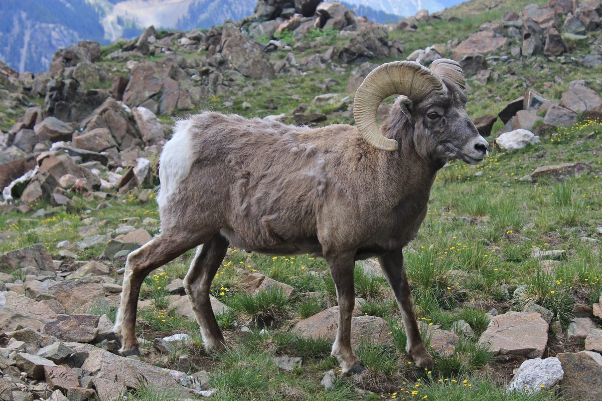
Animals around Hawaiʻi Volcanoes National Park



Two active volcanoes on the island of Hawaiʻi
Hawaiʻi Volcanoes National Park lies on the island of Hawaiʻi and encompasses Kīlauea and Mauna Loa. Kīlauea is one of the world’s most active volcanoes; Mauna Loa is the world’s largest shield volcano. Together, they make this a destination for understanding how the Hawaiian Islands develop, rather than simply a place to look for lava. Volcanic landscapes, rare plants and animals, and Hawaiian cultural connections all belong in a visit. Build plans around the landscape that is accessible when you arrive, not around an expectation of seeing an eruption. Halemaʻumaʻu crater has been intermittently eruptive since December 2020, with lava fountains and flows, but that history does not establish what will be visible on any particular day. Allow room to change plans as volcanic conditions and access change.
Plan around changing volcanic conditions
Volcanic activity has directly reshaped both the landscape and visitor access here. In 2018, explosions and toxic ash clouds from Halemaʻumaʻu crater, along with earthquakes and road damage, led to the closure of the Kīlauea summit area, including the visitor center and park headquarters. Portions reopened later that year. As of 2026, most of the park is open, though some road segments and trails remain closed. The Jaggar Museum and Hawaiian Volcano Observatory buildings were damaged beyond further use and were torn down in 2024, so older itineraries can be misleading. Confirm current road and trail status before choosing an outing, and follow posted restrictions rather than relying on an old map. The history of ground collapse, explosions, and damaged roads makes flexibility a practical safety measure.
A cultural landscape as well as a geological one
The volcanic terrain is connected to traditional Hawaiian culture, not separate from it. For Kanaka Maoli, the Indigenous people associated with this landscape, volcanic eruptions are sacred, and living without depleting resources is an important principle. Approach the park with that context in mind: observing an eruption is not only a geological experience. Keep your visit low-impact and give cultural meaning the same attention as volcanic features. The park also protects rare flora and fauna and supports scientific study of volcanism and island formation. Its recognition as an International Biosphere Reserve in 1980 and a World Heritage Site in 1987 reflects those broader natural values. A worthwhile visit can focus on these connections even when no lava is visible.
Route options
- Kīlauea summit-area visit
Focus an outing on the accessible summit landscape, with Halemaʻumaʻu crater providing context for the park’s recent volcanic changes. This is an area-based option, not a specified trail itinerary. Confirm open routes and viewing access; intermittent eruptions do not guarantee visible lava.
- Mauna Loa-focused visit
Make the park’s other active volcano, the world’s largest shield volcano, the focus of planning. This is an area-based option rather than a defined hiking or driving route. Obtain current access and route guidance before selecting an outing; do not assume summit access.
Sample itineraries
- Kīlauea-focused visit · 1 day
Focus on accessible volcanic landscapes around Kīlauea. Confirm summit-area access before setting out, and include Halemaʻumaʻu only where current guidance allows. Treat lava viewing as a possibility, not a promise: the crater's eruptive activity is intermittent.
- Two-volcano landscape visit · 2 days
Spend one day exploring accessible Kīlauea landscapes and another appreciating the park's Mauna Loa landscapes. This is not a summit-climbing plan. Keep each day's scope tied to confirmed access, and make time to understand the Hawaiian cultural connections to these volcanoes.
Seasonal conditions
Spring
Spring
Plan around current volcanic activity and access rather than a seasonal lava-viewing expectation. Check weather before choosing outdoor stops.
Summer
Summer
Summer does not guarantee visible lava. Carry water and sun protection for time in volcanic landscapes, and adjust plans to current weather and park guidance.
Fall
Fall
Keep plans flexible around intermittent eruptions and changing access. Confirm conditions for the specific areas planned rather than assuming the whole park is accessible.
Winter
Winter
Check local weather before heading out and carry adaptable layers. Volcanic activity, rather than the season alone, can determine which landscapes are accessible.
| Season | Window | Conditions |
|---|---|---|
| Spring | Spring | Plan around current volcanic activity and access rather than a seasonal lava-viewing expectation. Check weather before choosing outdoor stops. |
| Summer | Summer | Summer does not guarantee visible lava. Carry water and sun protection for time in volcanic landscapes, and adjust plans to current weather and park guidance. |
| Fall | Fall | Keep plans flexible around intermittent eruptions and changing access. Confirm conditions for the specific areas planned rather than assuming the whole park is accessible. |
| Winter | Winter | Check local weather before heading out and carry adaptable layers. Volcanic activity, rather than the season alone, can determine which landscapes are accessible. |
Permits, fees & closures
Confirm permit requirements, entrance charges, and any reservation requirements with the National Park Service before visiting.
Confirm current permits, fees, and closures with the managing agency before you go.
Hazards & regulations
- Kīlauea and Mauna Loa are active volcanoes; follow current park safety instructions.
- Explosions and toxic ash clouds have affected the Kīlauea summit area.
- Earthquakes and ground collapses have occurred in the park.
- Volcanic events have damaged roads and trails. Respect barriers and verify access before travel.
What to pack for Hawaiʻi Volcanoes National Park
- Drinking water
- Sun protection
- Sturdy walking footwear
- Adaptable clothing layers
- Rain protection
- Current park access information
- Map of intended visitor areas
Hawaiʻi Volcanoes National Park FAQ
- Where is Hawaiʻi Volcanoes National Park?
- The park is on the island of Hawaiʻi, also called the Big Island, in Hawaii, USA.
- Which volcanoes are in the park?
- The park encompasses Kīlauea, one of the world's most active volcanoes, and Mauna Loa, the world's largest shield volcano.
- Is seeing lava guaranteed?
- No. Halemaʻumaʻu has experienced intermittent lava fountains and flows. Whether activity is visible during a visit depends on current conditions and permitted access.
- Is the entire park open?
- Most of the park is open as of 2026, but some road segments and trails remain closed. Confirm current access with the National Park Service before choosing stops.
- Can visitors still visit the Jaggar Museum?
- No. The Jaggar Museum was too damaged by the 2018 volcanic events to remain in use and was torn down in 2024.
- What cultural context matters during a visit?
- These volcanic landscapes have deep connections to traditional Hawaiian culture. Kanaka Maoli regard eruptions as sacred. Visit respectfully and approach the landscape as more than a volcanic spectacle.