



Beyond Alone · Best: June to September (wet season)
Basaseachic Falls National Park
Mexico's highest continuous waterfall plunges majestically into a pristine forested ravine, surrounded by sheer volcanic rock faces.
Chihuahua, Mexico
Where on earth
Satellite imagery flying in from a world view to Basaseachic Falls National Park, Chihuahua, Mexico. Use the + / − buttons, or click the map to zoom with your scroll wheel; drag to pan and pinch to zoom on touch.
- Region
- Chihuahua, Mexico
- Climbing
- Desert Hiking
- Canyoneering
- Hiking
- Photography
- Area/Length
- 58 sq km
- Elevation
- 1,500m to 2,200m
- Best window
- August to October
- Key draws
- Waterfall hiking, rock climbing, photography
- Access
- Highway 16 from Chihuahua City
Topic summary
Mexico's highest continuous waterfall plunges majestically into a pristine forested ravine, surrounded by sheer volcanic rock faces. Situated within the northern reaches of the Sierra Tarahumara, this park is defined by towering vertical cliffs of volcanic tuff. Thick ponderosa pine and oak forests cover the plateau before dropping violently into the
Key takeaways
- Area/Length: 58 sq km
- Elevation: 1,500m to 2,200m
- Best window: August to October
- Key draws: Waterfall hiking, rock climbing, photography
- Access: Highway 16 from Chihuahua City
Intended uses
- Wilderness trip planning and destination research
- Access: Highway 16 from Chihuahua City
Verification notes
Compiled from published show records, regional agencies, and topographical / satellite imagery. Region: Chihuahua, Mexico. Coordinates: 28.169, -108.211.
The country
Situated within the northern reaches of the Sierra Tarahumara, this park is defined by towering vertical cliffs of volcanic tuff. Thick ponderosa pine and oak forests cover the plateau before dropping violently into the Candameña Canyon. The park's namesake cascade drops 246 meters free-fall over a massive rock shelf.
Why enthusiasts come
Waterfall chasers and photographers time their visits to catch the massive volume generated by late summer storms. Hardcore rock climbers come to ascend the imposing El Gigante, an 800-meter sheer rock face demanding big-wall climbing techniques. Day hikers enjoy the rigorous, well-maintained trails that descend to the misty plunge pool.
Top experiences
Hiking the steep switchbacks down to the base of Basaseachic Falls immerses visitors in a deafening, mist-filled canyon. Standing at the lookout of La Ventana provides dizzying rim views straight over the plunging water. Elite big-wall climbers endure multi-day vertical ascents on the smooth faces of El Gigante.
Planner-relevant notes
In the dry spring months, the waterfall can taper off to a mere trickle or dry up completely. The hike back up from the base is grueling and exposes hikers to intense afternoon sun if started too late. There are basic camping facilities at the top rim, but resources are limited.
Field notes
- Visit shortly after a heavy summer downpour to see the falls flowing at maximum chaotic force.
- Carry ample water for the ascent; the mist at the bottom is refreshing but the hike up is baking hot.
- If planning to climb El Gigante, arrange specialized transport in advance, as the base terrain is exceedingly rough.
- Watch for loose rock near the cliff edges; the volcanic tuff fractures unpredictably.
Frequently asked about Basaseachic Falls National Park
- Where is Basaseachic Falls National Park?
- Basaseachic Falls National Park is in Chihuahua, Mexico. Mexico's highest continuous waterfall plunges majestically into a pristine forested ravine, surrounded by sheer volcanic rock faces.
- How do you get to Basaseachic Falls National Park?
- Access: Highway 16 from Chihuahua City. Expect a multi-leg trip — flights to the nearest hub, then float plane, boat, or 4WD depending on conditions.
Build a ten for Basaseachic Falls National Park
Assemble your own 10-item Alone loadout tuned to this biome — cold, wet, and food strategy already scoped.
Open the builderShelter that suits this terrain
Browse shelter builds and site-selection guides matched to conditions like the ones here.
Wildlife
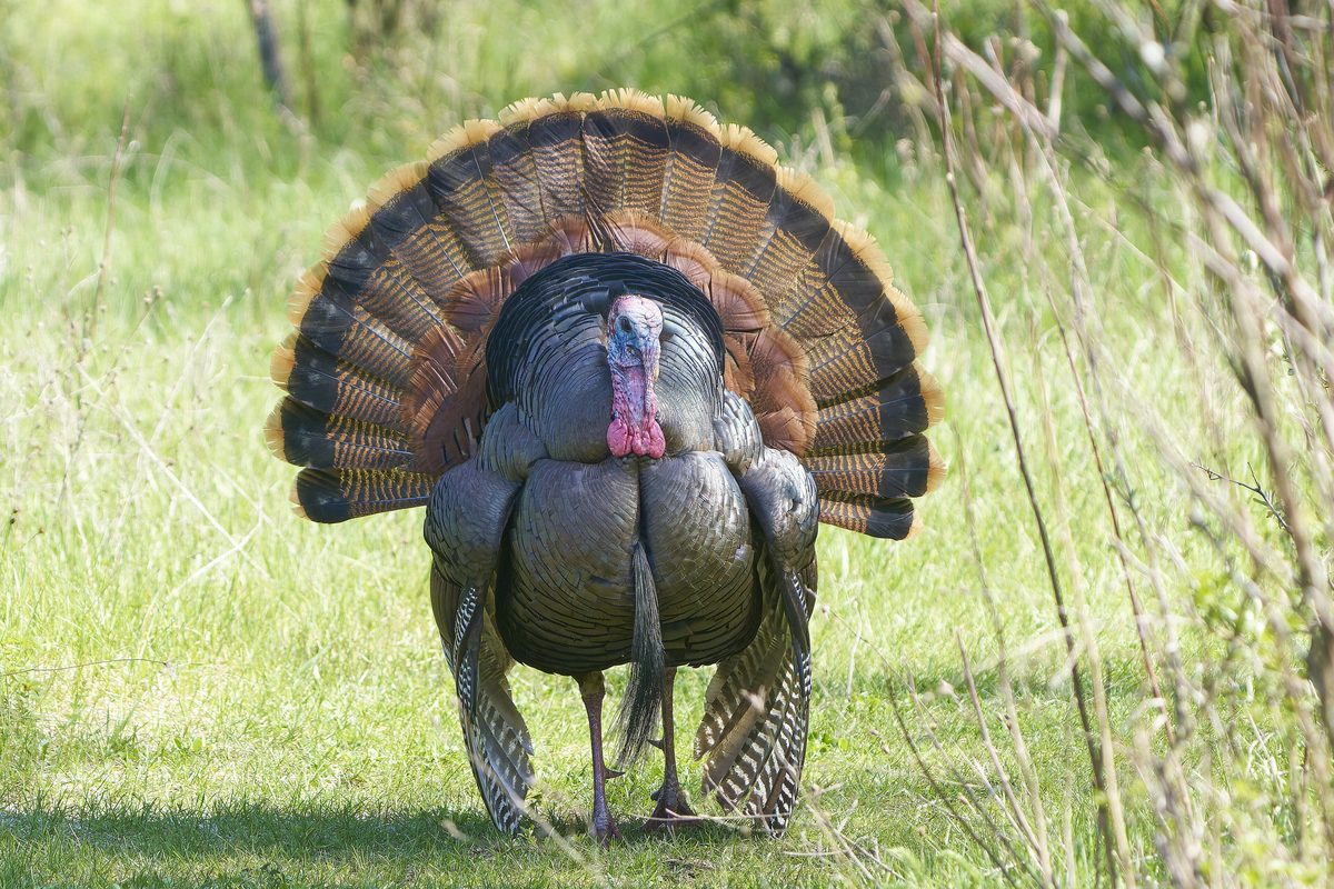
Wildlife found around Basaseachic Falls National Park


The gear behind what you just read
Ranked lists for the exact categories that decide a season.
- Top 10 Winter JacketsDown parkas, synthetic belay pieces, and heavy wool coats for real cold.See the ranking
- Top 10 Merino Wool Base LayersNext-to-skin wool that works in real cold, real heat, and days between washes.See the ranking
- Top 10 Three-Season Sleeping BagsDown and synthetic bags that cover the honest 20°F–40°F working range.See the ranking
- Top 10 Winter Camping LocationsCold-country trips built around snow, ice, and quiet skies.See the ranking
- Best Cold-Weather HatsWool watch caps, ushankas, and windproof beanies for real winter.See the ranking