



Beyond Alone · Best: Jun – Sep
GR20, Corsica
Europe's toughest waymarked trek — 180 km across Corsica's mountain spine.
Where on earth
Satellite imagery flying in from a world view to GR20, Corsica, France. Use the + / − buttons, or click the map to zoom with your scroll wheel; drag to pan and pinch to zoom on touch.
- Region
- France
- Biome
- Mediterranean high mountain
- Climbing
- Mountaineering
- Hiking
Key takeaways
- Biome: Mediterranean high mountain
- Biome
- Mediterranean high mountain
- Elevation
- 700 – 2,600 m
- Best window
- Jun – Sep
- Key draws
- Cirque de la Solitude, Monte Cinto, north-to-south classic
- Watch for
- Scrambling exposure, sun, water scarcity
Topic summary
Europe's toughest waymarked trek — 180 km across Corsica's mountain spine. Corsica's central granite spine — sharp ridges, deep granite valleys, and Mediterranean scrub. Trail runs north (Calenzana) to south (Conca) in 15 stages that rarely drop below 1,200 m.
Key takeaways
- Biome: Mediterranean high mountain
- Elevation: 700 – 2,600 m
- Best window: Jun – Sep
- Key draws: Cirque de la Solitude, Monte Cinto, north-to-south classic
- Watch for: Scrambling exposure, sun, water scarcity
Intended uses
Wilderness trip planning and destination research
Climate suitability
Mediterranean high mountain
Verification notes
Compiled from published show records, regional agencies, and topographical / satellite imagery. Region: France. Coordinates: 42.150, 9.050.
The country
Corsica's central granite spine — sharp ridges, deep granite valleys, and Mediterranean scrub. Trail runs north (Calenzana) to south (Conca) in 15 stages that rarely drop below 1,200 m.
Why enthusiasts come
Reputation as Europe's hardest long trail. Genuine scrambling on Class-2/3 rock, big daily elevation, and huts spaced for a serious walker.
Planner-relevant notes
Refuges reserve on release day — May 15 opens most. Water at refuges only in dry summers. Trainer-style shoes fail; approach shoes or light boots are the working choice.
Top experiences
The full GR20 (16 stages, 180 km) is Europe's hardest waymarked trail. The North (Calenzana–Vizzavona) is the harder half. Refuge stops are basic but functional. Cirque de la Solitude was rerouted after 2015 landslide.
Planning essentials
Refuge bookings open in Mar via PNR Corse — sell out fast. Wind and thunderstorms on the high sections shut travel for a day at a time. Ferry from mainland France is the standard cheap access.
Field notes
- Bring cash — refuges are cash-only in most stages.
- The Cirque de la Solitude bypass is now the standard after 2015 rockfall.
- Late-August thunderstorms can shut ridge stages for 24 hours.
- The GR20 rockfall risk is real — a helmet is defensible extra weight.
- Water sources are marked but seasonal — carry 3 L capacity minimum.
Frequently asked about GR20, Corsica
- Where is GR20, Corsica?
- GR20, Corsica is in France. Europe's toughest waymarked trek — 180 km across Corsica's mountain spine.
- What is the climate like at GR20, Corsica?
- Mediterranean high mountain. Corsica's central granite spine — sharp ridges, deep granite valleys, and Mediterranean scrub. Trail runs north (Calenzana) to south (Conca) in 15 stages that rarely drop below 1,200 m.
Build a ten for GR20, Corsica
Assemble your own 10-item Alone loadout tuned to this biome — cold, wet, and food strategy already scoped.
Open the builderShelter that suits this terrain
Browse shelter builds and site-selection guides matched to conditions like the ones here.
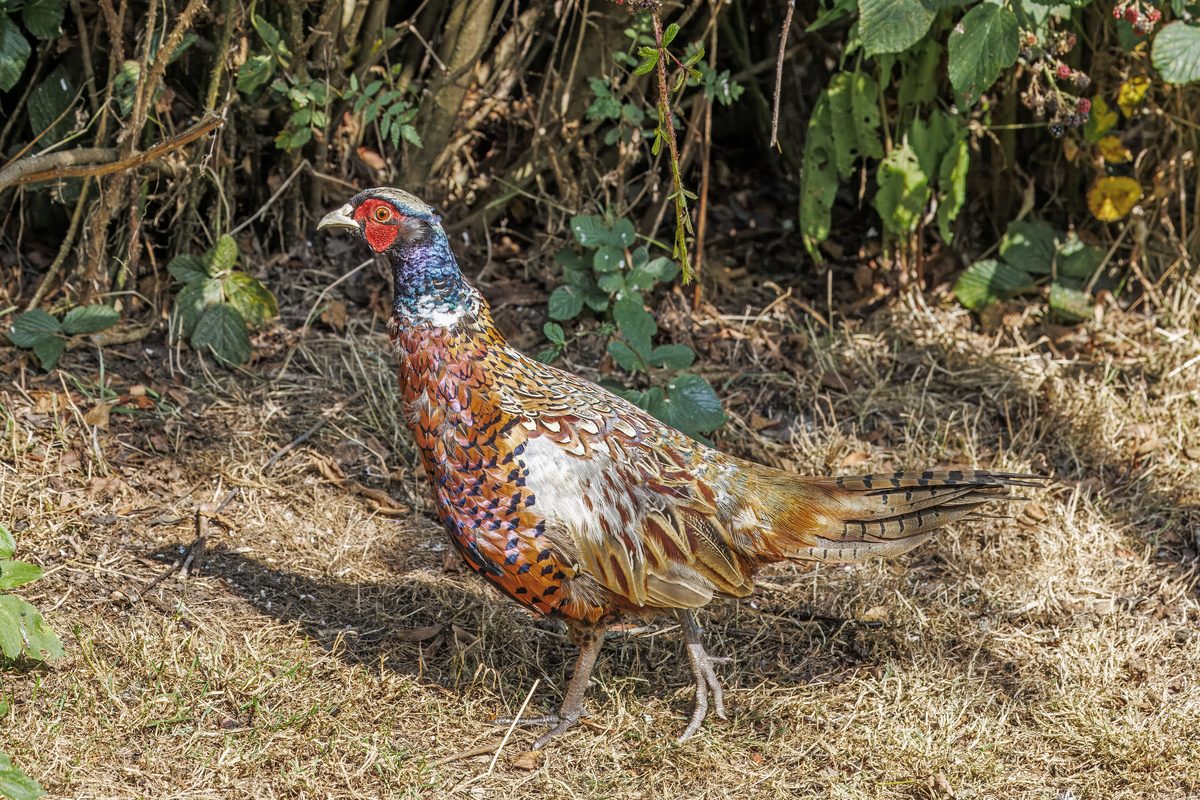
Wildlife
Wildlife found around GR20, Corsica

The gear behind what you just read
Ranked lists for the exact categories that decide a season.
- Top 10 Winter JacketsDown parkas, synthetic belay pieces, and heavy wool coats for real cold.See the ranking
- Top 10 Merino Wool Base LayersNext-to-skin wool that works in real cold, real heat, and days between washes.See the ranking
- Top 10 Three-Season Sleeping BagsDown and synthetic bags that cover the honest 20°F–40°F working range.See the ranking
- Top 10 Winter Camping LocationsCold-country trips built around snow, ice, and quiet skies.See the ranking
- Best Cold-Weather HatsWool watch caps, ushankas, and windproof beanies for real winter.See the ranking