



Beyond Alone · Best: July-August (trekking), March-April (ski touring)
Hardangervidda National Park
A vast, rolling alpine plateau offering incredible wind-swept wilderness for multi-day trekking and legendary winter kite-skiing.
Vestland and Telemark, Norway
Where on earth
Satellite imagery flying in from a world view to Hardangervidda National Park, Vestland and Telemark, Norway. Use the + / − buttons, or click the map to zoom with your scroll wheel; drag to pan and pinch to zoom on touch.
- Region
- Vestland and Telemark, Norway
- Climbing
- Mountaineering
- Winter Camping
- Skiing
- Hiking
- Backpacking
- Wildlife Viewing
- Area/Length
- 3,422 sq km
- Elevation
- 1,100m to 1,721m
- Best window
- Mid-July to late August
- Key draws
- Hut-to-hut trekking, wild reindeer, kite-skiing
- Access
- Train to Finse or bus to Rjukan
Topic summary
A vast, rolling alpine plateau offering incredible wind-swept wilderness for multi-day trekking and legendary winter kite-skiing. Hardangervidda is the largest alpine plateau in Europe, shaped by glacial remnants into broad moors, shallow lakes, and barren rocky outcrops. The tundra-like landscape supports Europe's largest wild reindeer herd and an
Key takeaways
- Area/Length: 3,422 sq km
- Elevation: 1,100m to 1,721m
- Best window: Mid-July to late August
- Key draws: Hut-to-hut trekking, wild reindeer, kite-skiing
- Access: Train to Finse or bus to Rjukan
Intended uses
- Wilderness trip planning and destination research
- Access: Train to Finse or bus to Rjukan
Verification notes
Compiled from published show records, regional agencies, and topographical / satellite imagery. Region: Vestland and Telemark, Norway. Coordinates: 60.150, 7.500.
The country
Hardangervidda is the largest alpine plateau in Europe, shaped by glacial remnants into broad moors, shallow lakes, and barren rocky outcrops. The tundra-like landscape supports Europe's largest wild reindeer herd and an array of arctic flora. To the west, the gentle plateau gives way to dramatic fjords and steep valleys.
Why enthusiasts come
Summer backpackers are drawn to the immense network of trails connected by the Norwegian Trekking Association's (DNT) remote cabins. In winter, relentless winds and moderate gradients make it a premier global destination for expedition snow-kiting and pulk-hauling multi-day ski tours. The raw exposure offers true polar-prep training conditions.
Top experiences
Trekking from Finse to Haukeliseter traverses the heart of the plateau, navigating rivers and rolling ridges. Climbing Hårteigen, a distinctive hat-shaped peak, provides panoramic views across the barren expanse. Winter expeditions often cross the Hardangerjøkulen glacier, testing navigation skills in frequent whiteouts.
Planner-relevant notes
DNT cabins range from staffed lodges serving meals to self-service huts stocked with provisions; a standard key is required for access. Weather on the plateau is notoriously fickle, shifting from sunny to freezing rain or snow year-round. Wild camping is legal anywhere under the 'Right to Roam,' provided you leave no trace.
Field notes
- When navigating in low visibility, rely heavily on GPS trails and compass bearings, as the featureless terrain makes visual orientation nearly impossible.
- Late summer brings heavy mosquito activity near the boggy lakes; bring a quality head net and repellent.
- Resupply is easy if utilizing the DNT self-service huts, which are stocked with dry goods, canned food, and fuel.
- The train station at Finse sits at 1,222 meters and has no road access, acting as an atmospheric portal straight into the high backcountry.
Frequently asked about Hardangervidda National Park
- Where is Hardangervidda National Park?
- Hardangervidda National Park is in Vestland and Telemark, Norway. A vast, rolling alpine plateau offering incredible wind-swept wilderness for multi-day trekking and legendary winter kite-skiing.
- How do you get to Hardangervidda National Park?
- Access: Train to Finse or bus to Rjukan. Expect a multi-leg trip — flights to the nearest hub, then float plane, boat, or 4WD depending on conditions.
Build a ten for Hardangervidda National Park
Assemble your own 10-item Alone loadout tuned to this biome — cold, wet, and food strategy already scoped.
Open the builderShelter that suits this terrain
Browse shelter builds and site-selection guides matched to conditions like the ones here.
Wildlife
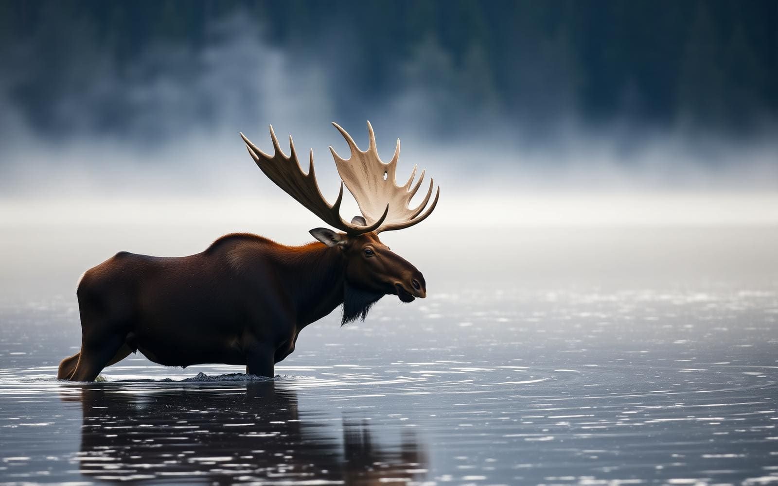
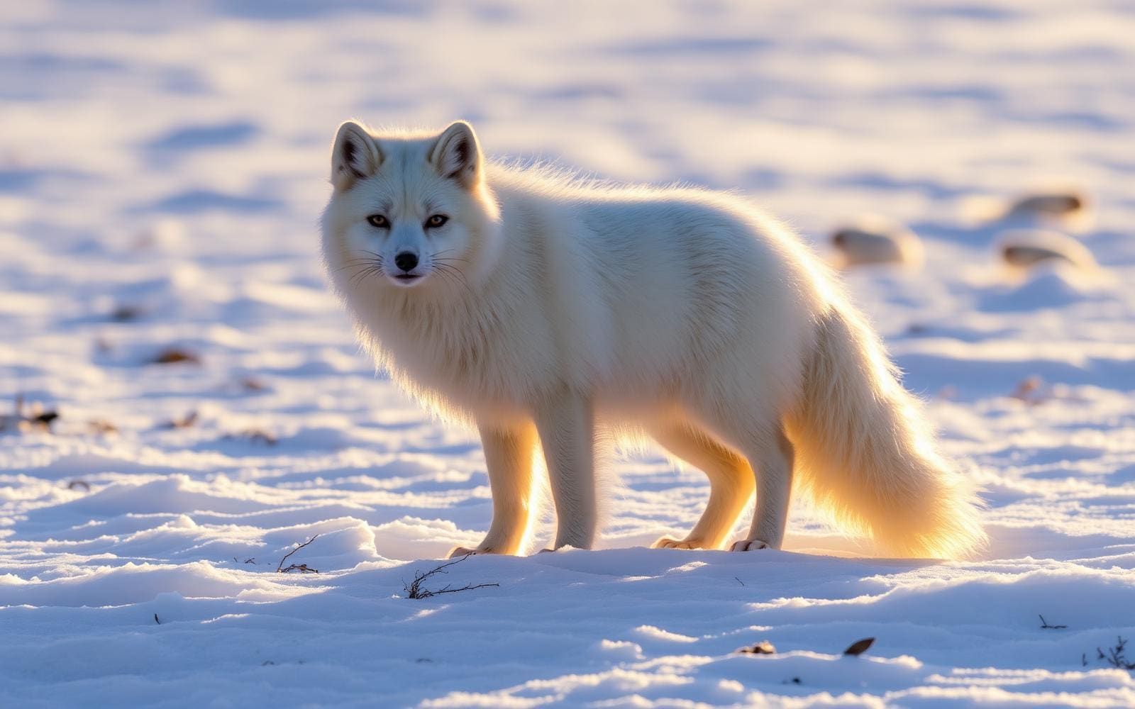
Wildlife found around Hardangervidda National Park





The gear behind what you just read
Ranked lists for the exact categories that decide a season.
- Top 10 Winter JacketsDown parkas, synthetic belay pieces, and heavy wool coats for real cold.See the ranking
- Top 10 Merino Wool Base LayersNext-to-skin wool that works in real cold, real heat, and days between washes.See the ranking
- Top 10 Three-Season Sleeping BagsDown and synthetic bags that cover the honest 20°F–40°F working range.See the ranking
- Top 10 Winter Camping LocationsCold-country trips built around snow, ice, and quiet skies.See the ranking
- Best Cold-Weather HatsWool watch caps, ushankas, and windproof beanies for real winter.See the ranking