



Beyond Alone · Best: May – Sep (dry season)
Cordillera Huayhuash
A compact ring of 6,000-m peaks — the most stunning circuit trek in the Andes.
Where on earth
Satellite imagery flying in from a world view to Cordillera Huayhuash, Peru. Use the + / − buttons, or click the map to zoom with your scroll wheel; drag to pan and pinch to zoom on touch.
- Region
- Peru
- Biome
- Peruvian Andean puna + glaciated peaks
- Mountaineering
- Hiking
Key takeaways
- Biome: Peruvian Andean puna + glaciated peaks
- Biome
- Peruvian Andean puna + glaciated peaks
- Elevation
- 4,000 – 6,634 m
- Best window
- May – Sep
- Key draws
- Full 130-km circuit, Siula Grande view
- Watch for
- Altitude, community fees at each valley
Topic summary
A compact ring of 6,000-m peaks — the most stunning circuit trek in the Andes. A tightly clustered range south of Huaraz — Yerupajá is Peru's second-highest peak. The circuit walks around the entire massif, crossing eight passes and touching lakes below every face.
Key takeaways
- Biome: Peruvian Andean puna + glaciated peaks
- Elevation: 4,000 – 6,634 m
- Best window: May – Sep
- Key draws: Full 130-km circuit, Siula Grande view
- Watch for: Altitude, community fees at each valley
Intended uses
Wilderness trip planning and destination research
Climate suitability
Peruvian Andean puna + glaciated peaks
Verification notes
Compiled from published show records, regional agencies, and topographical / satellite imagery. Region: Peru. Coordinates: -10.280, -76.900.
The country
A tightly clustered range south of Huaraz — Yerupajá is Peru's second-highest peak. The circuit walks around the entire massif, crossing eight passes and touching lakes below every face.
Why enthusiasts come
One of the most beautiful trekking circuits on Earth. Manageable on foot in 10 days with donkey support; harder but possible fully self-supported.
Planner-relevant notes
Acclimatize in Huaraz (3,050 m) for at least 3 days before starting. Community entry fees are charged in each valley — carry small Peruvian soles.
Field notes
- Water sources are cold and clear — filter or treat, especially below livestock.
- Weather windows collapse fast in the afternoon — start passes early.
- Local arrieros with donkeys are the standard support model.
Frequently asked about Cordillera Huayhuash
- Where is Cordillera Huayhuash?
- Cordillera Huayhuash is in Peru. A compact ring of 6,000-m peaks — the most stunning circuit trek in the Andes.
- What is the climate like at Cordillera Huayhuash?
- Peruvian Andean puna + glaciated peaks. A tightly clustered range south of Huaraz — Yerupajá is Peru's second-highest peak. The circuit walks around the entire massif, crossing eight passes and touching lakes below every face.
Build a ten for Cordillera Huayhuash
Assemble your own 10-item Alone loadout tuned to this biome — cold, wet, and food strategy already scoped.
Open the builderShelter that suits this terrain
Browse shelter builds and site-selection guides matched to conditions like the ones here.
Wildlife
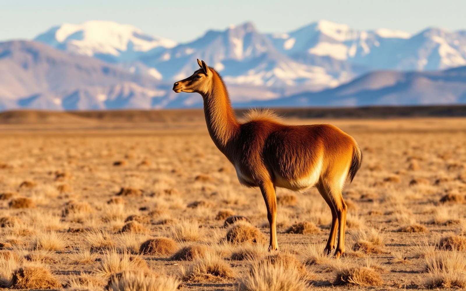
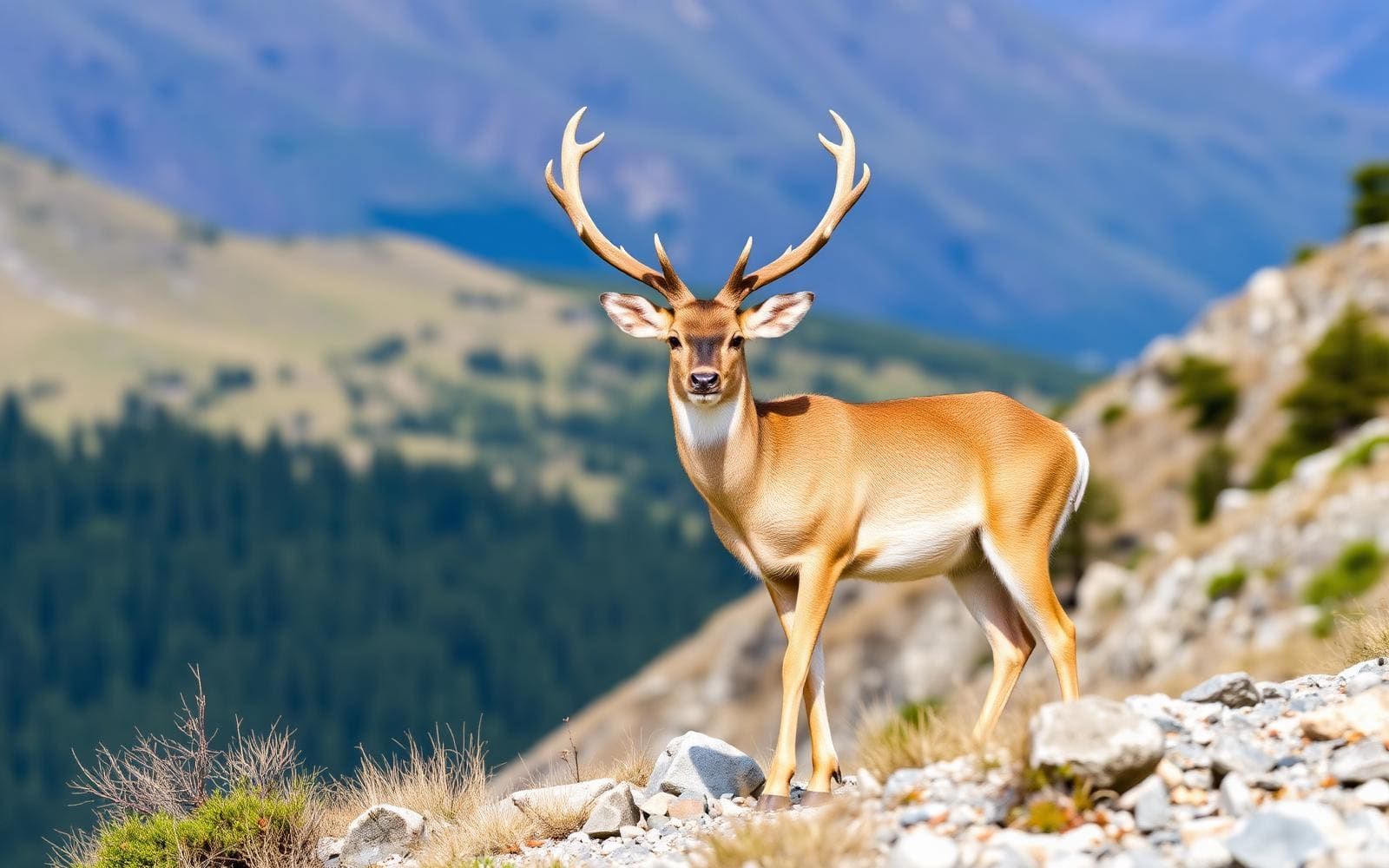
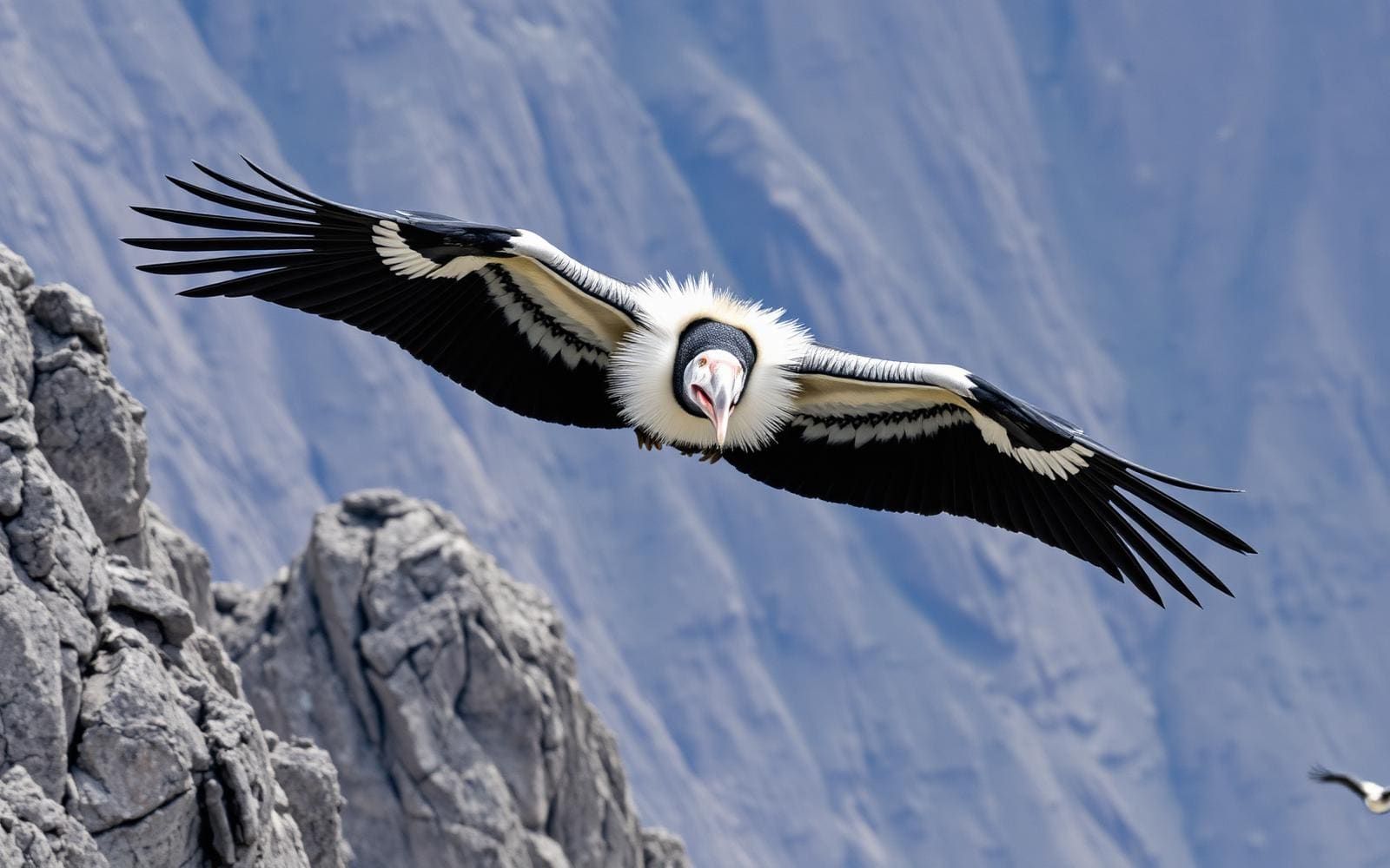
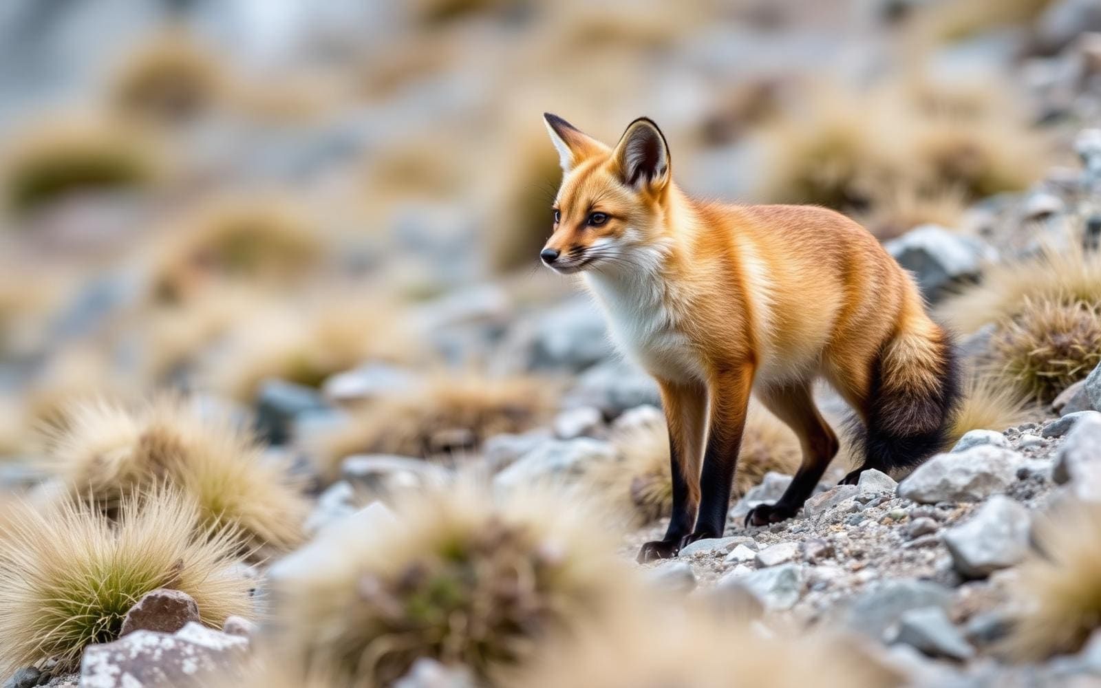
Wildlife found around Cordillera Huayhuash

The gear behind what you just read
Ranked lists for the exact categories that decide a season.
- Top 10 Winter JacketsDown parkas, synthetic belay pieces, and heavy wool coats for real cold.See the ranking
- Top 10 Merino Wool Base LayersNext-to-skin wool that works in real cold, real heat, and days between washes.See the ranking
- Top 10 Three-Season Sleeping BagsDown and synthetic bags that cover the honest 20°F–40°F working range.See the ranking
- Top 10 Winter Camping LocationsCold-country trips built around snow, ice, and quiet skies.See the ranking
- Best Cold-Weather HatsWool watch caps, ushankas, and windproof beanies for real winter.See the ranking