



Beyond Alone · Best: May – Aug (dry cool season)
Larapinta Trail
223 km along the West MacDonnell Range — Australia's finest desert walk.
Northern Territory, Australia
Where on earth
Satellite imagery flying in from a world view to Larapinta Trail, Northern Territory, Australia. Use the + / − buttons, or click the map to zoom with your scroll wheel; drag to pan and pinch to zoom on touch.
- Region
- Northern Territory, Australia
- Biome
- Central Australian desert / range
- Winter Camping
- Skiing
- Desert Hiking
- Canyoneering
Key takeaways
- Biome: Central Australian desert / range
- Biome
- Central Australian desert / range
- Elevation
- 500 – 1,380 m (Mt Sonder)
- Best window
- May – Aug
- Key draws
- Full 223 km, Ormiston, Mt Sonder sunrise
- Watch for
- Heat, water resupply, remote sections
Topic summary
223 km along the West MacDonnell Range — Australia's finest desert walk. The West MacDonnell Range runs west from Alice Springs — ancient quartzite and dolomite ridges with gorges and semi-permanent waterholes. Arrernte country.
Key takeaways
- Biome: Central Australian desert / range
- Elevation: 500 – 1,380 m (Mt Sonder)
- Best window: May – Aug
- Key draws: Full 223 km, Ormiston, Mt Sonder sunrise
- Watch for: Heat, water resupply, remote sections
Intended uses
Wilderness trip planning and destination research
Climate suitability
Central Australian desert / range
Verification notes
Compiled from published show records, regional agencies, and topographical / satellite imagery. Region: Northern Territory, Australia. Coordinates: -23.700, 133.050.
The country
The West MacDonnell Range runs west from Alice Springs — ancient quartzite and dolomite ridges with gorges and semi-permanent waterholes. Arrernte country.
Why enthusiasts come
Desert long-distance in a Southern-Hemisphere winter — cool nights, warm days, and stunning early light. Full traverse is 12–20 days depending on pace.
Planner-relevant notes
Water resupplies at ranger tanks are non-negotiable — plan them exactly. PLB is legally required. Some sections have limited or no cell coverage.
Field notes
- Mt Sonder sunrise is the traditional closer — 4:30 am start from Redbank.
- Waterholes are cultural heritage sites — check protocols for swimming.
- Fires in some sections are prohibited year-round.
Frequently asked about Larapinta Trail
- Where is Larapinta Trail?
- Larapinta Trail is in Northern Territory, Australia. 223 km along the West MacDonnell Range — Australia's finest desert walk.
- What is the climate like at Larapinta Trail?
- Central Australian desert / range. The West MacDonnell Range runs west from Alice Springs — ancient quartzite and dolomite ridges with gorges and semi-permanent waterholes. Arrernte country.
Build a ten for Larapinta Trail
Assemble your own 10-item Alone loadout tuned to this biome — cold, wet, and food strategy already scoped.
Open the builderShelter that suits this terrain
Browse shelter builds and site-selection guides matched to conditions like the ones here.
Wildlife
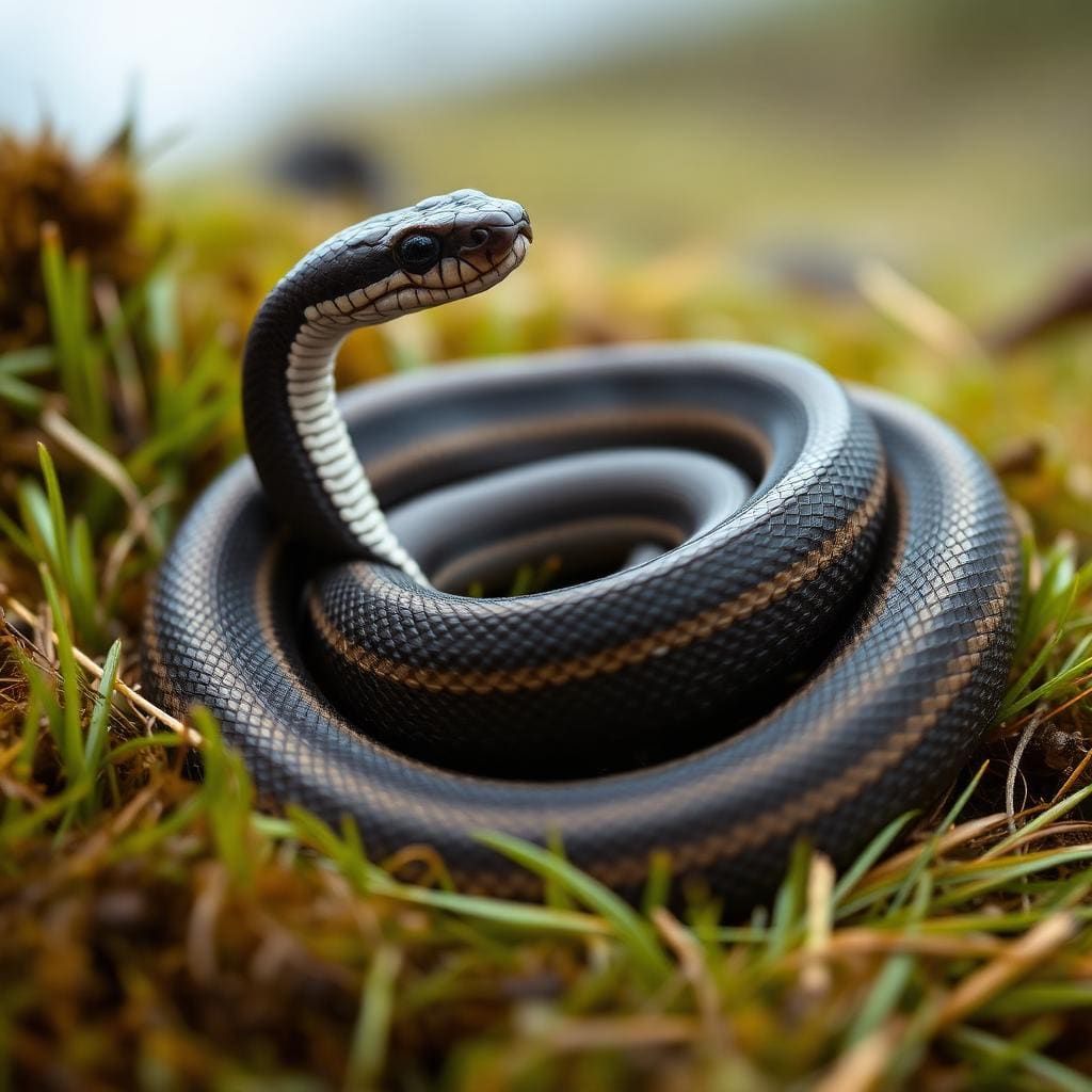
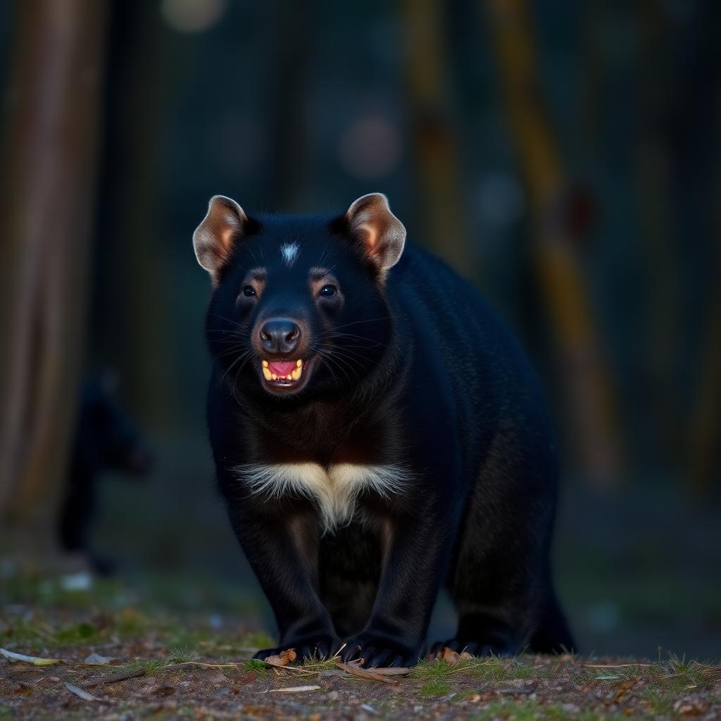
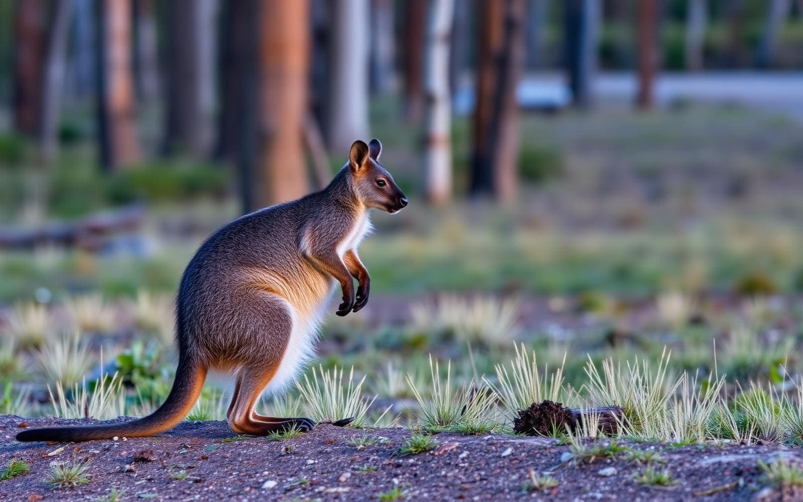
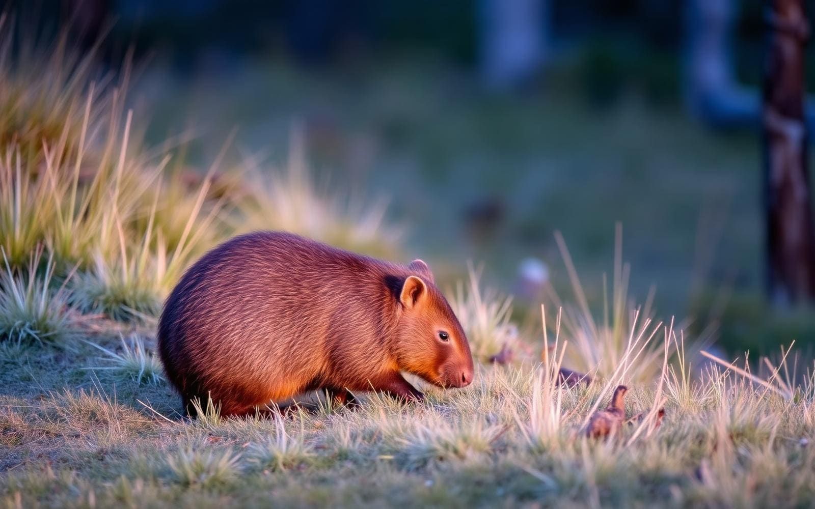
Wildlife found around Larapinta Trail
The gear behind what you just read
Ranked lists for the exact categories that decide a season.
- Top 10 Winter JacketsDown parkas, synthetic belay pieces, and heavy wool coats for real cold.See the ranking
- Top 10 Merino Wool Base LayersNext-to-skin wool that works in real cold, real heat, and days between washes.See the ranking
- Top 10 Three-Season Sleeping BagsDown and synthetic bags that cover the honest 20°F–40°F working range.See the ranking
- Top 10 Winter Camping LocationsCold-country trips built around snow, ice, and quiet skies.See the ranking
- Best Cold-Weather HatsWool watch caps, ushankas, and windproof beanies for real winter.See the ranking