



Beyond Alone · Best: November - March
Los Glaciares National Park
Sheer granite spires pierce the infamous Patagonian wind above the sprawling Southern Patagonian Ice Field.
Santa Cruz, Argentina
Where on earth
Satellite imagery flying in from a world view to Los Glaciares National Park, Santa Cruz, Argentina. Use the + / − buttons, or click the map to zoom with your scroll wheel; drag to pan and pinch to zoom on touch.
- Region
- Santa Cruz, Argentina
- Climbing
- Mountaineering
- Hiking
- Backpacking
- Canoeing
- Fishing
- Area/Length
- 7,269 sq km
- Elevation
- 200m to 3,405m
- Best window
- Late December for stable trails
- Key draws
- Granite big walls, immense glaciers
- Access
- Fly to El Calafate, bus to El Chalten
Topic summary
Sheer granite spires pierce the infamous Patagonian wind above the sprawling Southern Patagonian Ice Field. The park is heavily glaciated, dominated by the Fitz Roy and Cerro Torre massifs on the margin of the icecap. Valleys are fringed by southern beech (lenga) forests that blaze red in the autumn. The environment is dictate
Key takeaways
- Area/Length: 7,269 sq km
- Elevation: 200m to 3,405m
- Best window: Late December for stable trails
- Key draws: Granite big walls, immense glaciers
- Access: Fly to El Calafate, bus to El Chalten
Intended uses
- Wilderness trip planning and destination research
- Access: Fly to El Calafate, bus to El Chalten
Verification notes
Compiled from published show records, regional agencies, and topographical / satellite imagery. Region: Santa Cruz, Argentina. Coordinates: -49.273, -73.048.
The country
The park is heavily glaciated, dominated by the Fitz Roy and Cerro Torre massifs on the margin of the icecap. Valleys are fringed by southern beech (lenga) forests that blaze red in the autumn. The environment is dictated by ferocious westerly winds off the Pacific that hit the Andes and unleash volatile weather.
Why enthusiasts come
It is a mecca for big-wall climbers and dedicated trekkers. Unlike other Patagonian hotspots, El Chalten offers world-class day hiking directly from town with no park entrance fees or mandatory guides. Backpackers tackle the multiday loops, while climbers endure weeks in basecamp waiting for a rare 'weather window' to ascend the towers.
Top experiences
The Huemul Circuit is a rugged 4-day backpacking route requiring a Tyrolean traverse over a glacial river and hiking alongside the immense Viedma Glacier. Hiking to Laguna de los Tres provides the classic front-row view of Mount Fitz Roy. Standing on the moraine at Laguna Torre at dawn offers a glimpse of the icy mushroom topping Cerro Torre.
Planner-relevant notes
No permits are required for basic trekking, but climbers and those doing the Huemul Circuit must register with the park office in El Chalten and show their harnesses/pulleys. Weather forecasts here dictate everything; be prepared to stay multiple days to get a clear view of the peaks. Bring bombproof four-season tents if camping.
Field notes
- The winds here can quite literally knock you off your feet; pitch tents behind constructed stone walls in the camps.
- To properly use the zipline (Tyrolean traverse) on the Huemul Circuit, you need a harness, steel carabiners, and a backup safety line.
- Drinking water in the backcountry streams is safe in most high areas, but filter below populated camps.
- El Chalten has unreliable internet and ATMs regularly run out of cash. Bring sufficient Argentine pesos or USD.
Frequently asked about Los Glaciares National Park
- Where is Los Glaciares National Park?
- Los Glaciares National Park is in Santa Cruz, Argentina. Sheer granite spires pierce the infamous Patagonian wind above the sprawling Southern Patagonian Ice Field.
- How do you get to Los Glaciares National Park?
- Access: Fly to El Calafate, bus to El Chalten. Expect a multi-leg trip — flights to the nearest hub, then float plane, boat, or 4WD depending on conditions.
Build a ten for Los Glaciares National Park
Assemble your own 10-item Alone loadout tuned to this biome — cold, wet, and food strategy already scoped.
Open the builderShelter that suits this terrain
Browse shelter builds and site-selection guides matched to conditions like the ones here.
Wildlife
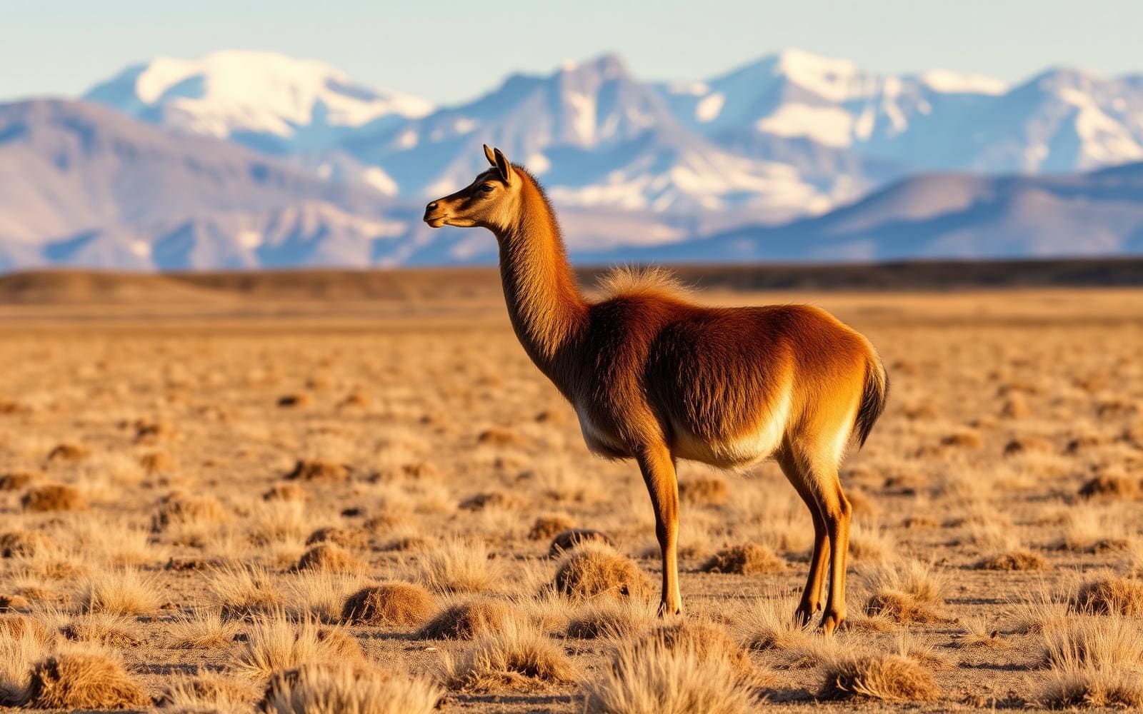
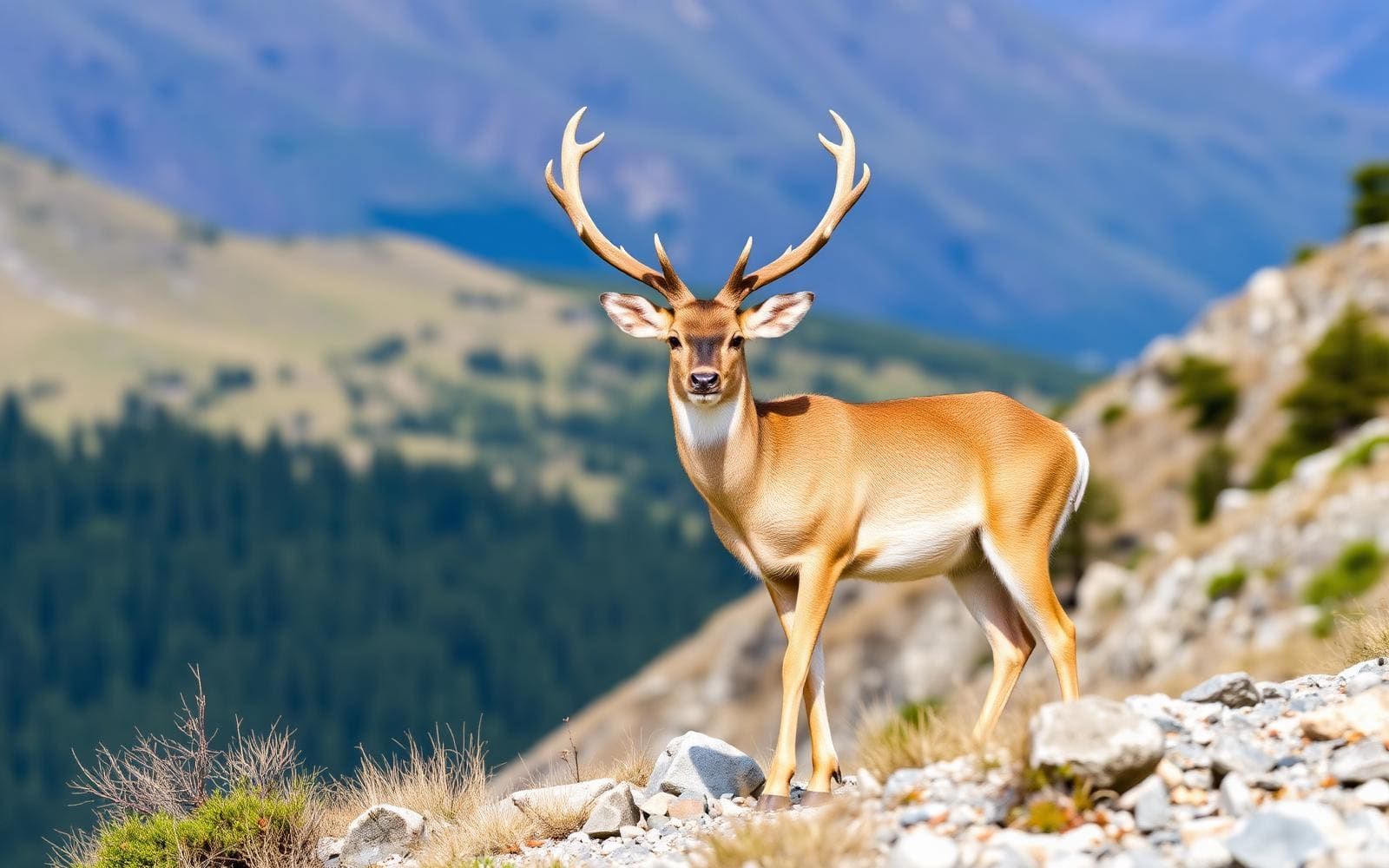
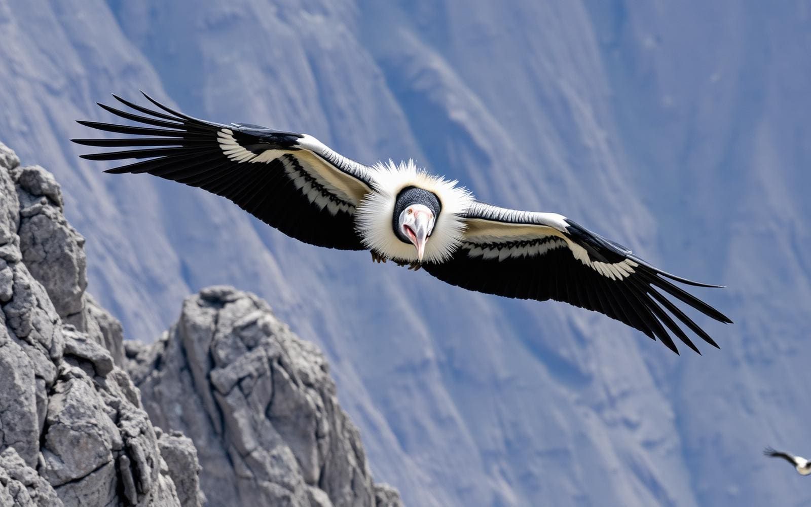
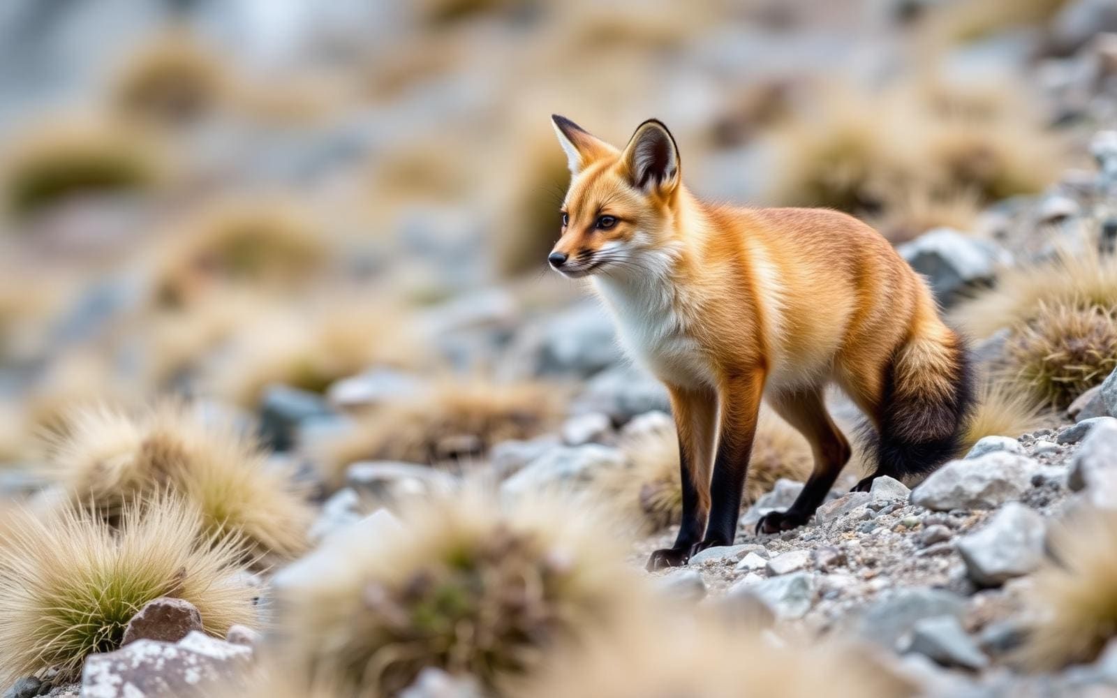
Wildlife found around Los Glaciares National Park

The gear behind what you just read
Ranked lists for the exact categories that decide a season.
- Top 10 Winter JacketsDown parkas, synthetic belay pieces, and heavy wool coats for real cold.See the ranking
- Top 10 Merino Wool Base LayersNext-to-skin wool that works in real cold, real heat, and days between washes.See the ranking
- Top 10 Three-Season Sleeping BagsDown and synthetic bags that cover the honest 20°F–40°F working range.See the ranking
- Top 10 Winter Camping LocationsCold-country trips built around snow, ice, and quiet skies.See the ranking
- Best Cold-Weather HatsWool watch caps, ushankas, and windproof beanies for real winter.See the ranking